Strong City is a town in Roger Mills County, Oklahoma, United States. The population was 47 at the 2010 census.
| Name: | Strong City town |
|---|---|
| LSAD Code: | 43 |
| LSAD Description: | town (suffix) |
| State: | Oklahoma |
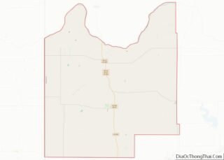
| County: | Roger Mills County |
| Elevation: | 1,883 ft (574 m) |
| Total Area: | 0.50 sq mi (1.29 km²) |
| Land Area: | 0.50 sq mi (1.29 km²) |
| Water Area: | 0.00 sq mi (0.00 km²) |
| Total Population: | 33 |
| Population Density: | 66.27/sq mi (25.58/km²) |
| ZIP code: | 73628 |
| Area code: | 580 |
| FIPS code: | 4070950 |
| GNISfeature ID: | 1101677 |
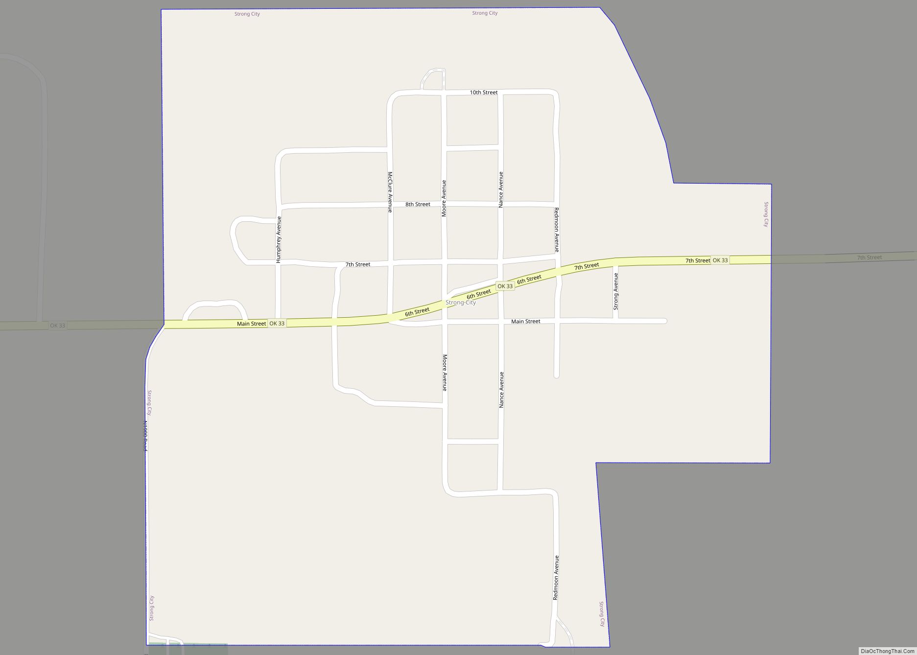
Online Interactive Map
Click on ![]() to view map in "full screen" mode.
to view map in "full screen" mode.
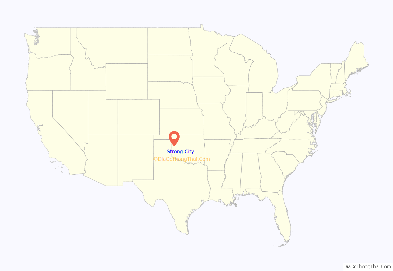
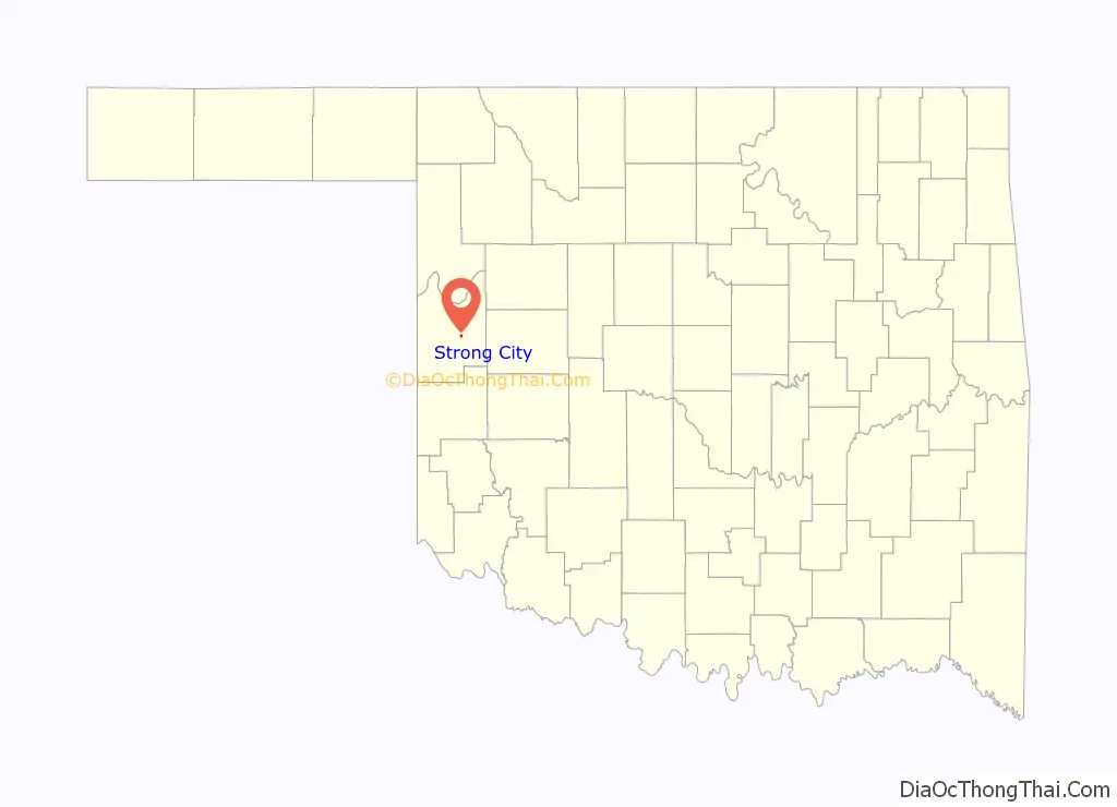
Strong City location map. Where is Strong City town?
History
The town of Strong City was formally established June 25, 1912. It was named for Clint Strong, a railroad official and entrepreneur instrumental in the town’s organization. While Cheyenne, Oklahoma was originally designated as the county seat for Roger Mills County, construction of the nearest railroad into the area, the Clinton and Oklahoma Western Railway (“C&OW”) terminated in August 1912 at Strong City. More troubling to the people of Cheyenne was the fact that Strong City had been laid out with a rocky knoll in the center, reserved for the County Courthouse should Strong City become the county seat instead of Cheyenne. Strong City also grew to become bigger than Cheyenne or any other town in the county, within a year of the railroad’s arrival.
To keep their town’s position, the citizens of Cheyenne responded by building the Cheyenne Short Line Railroad up the Washita River valley to Strong City to connect to the C&OW. In 1914 the courthouse in Cheyenne burned, and the fear again arose in Cheyenne that the citizens of Strong City would manage to have the new courthouse built there. But Cheyenne came up with the funding, and a new two-story brick courthouse was constructed in that town. Strong City nevertheless remained a competitor, and in 1932 managed to route a state highway (Oklahoma State Highway 33) through the town, passing well north of Cheyenne. However, extension of the C&OW to Cheyenne and eventually into the Texas Panhandle caused trade to shift to the west of the town. The 1930s were not kind to the municipality: in 1934 and 1935 several business houses relocated from Strong City to Cheyenne, losing the town population and businesses while Cheyenne grew during the decade. Today, Strong City is much smaller and Cheyenne remains the county seat.
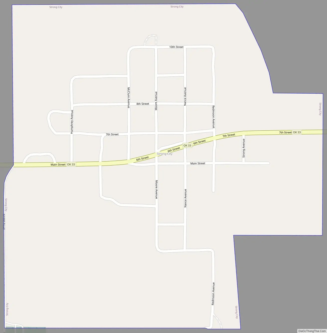
Strong City Road Map
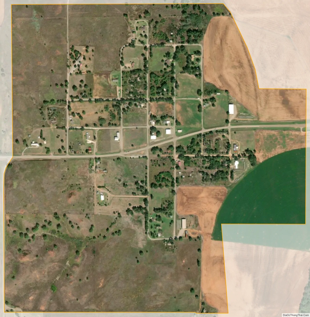
Strong City city Satellite Map
Geography
Strong City is located at 35°40′15″N 99°35′58″W / 35.67083°N 99.59944°W / 35.67083; -99.59944 (35.670772, -99.599334). According to the United States Census Bureau, the town has a total area of 0.5 square miles (1.3 km), all land.
Strong City is located along State Highway 33. The town is in Southwestern Oklahoma, known for Oklahoma Tourism purposes as Great Plains Country. Strong City is essentially surrounded by the Black Kettle National Grassland, with Black Kettle Recreation Area and associated reservoir about 10 miles to the northwest. Washita Battlefield National Historic Site is about 11 miles southwest.
See also
Map of Oklahoma State and its subdivision:- Adair
- Alfalfa
- Atoka
- Beaver
- Beckham
- Blaine
- Bryan
- Caddo
- Canadian
- Carter
- Cherokee
- Choctaw
- Cimarron
- Cleveland
- Coal
- Comanche
- Cotton
- Craig
- Creek
- Custer
- Delaware
- Dewey
- Ellis
- Garfield
- Garvin
- Grady
- Grant
- Greer
- Harmon
- Harper
- Haskell
- Hughes
- Jackson
- Jefferson
- Johnston
- Kay
- Kingfisher
- Kiowa
- Latimer
- Le Flore
- Lincoln
- Logan
- Love
- Major
- Marshall
- Mayes
- McClain
- McCurtain
- McIntosh
- Murray
- Muskogee
- Noble
- Nowata
- Okfuskee
- Oklahoma
- Okmulgee
- Osage
- Ottawa
- Pawnee
- Payne
- Pittsburg
- Pontotoc
- Pottawatomie
- Pushmataha
- Roger Mills
- Rogers
- Seminole
- Sequoyah
- Stephens
- Texas
- Tillman
- Tulsa
- Wagoner
- Washington
- Washita
- Woods
- Woodward
- Alabama
- Alaska
- Arizona
- Arkansas
- California
- Colorado
- Connecticut
- Delaware
- District of Columbia
- Florida
- Georgia
- Hawaii
- Idaho
- Illinois
- Indiana
- Iowa
- Kansas
- Kentucky
- Louisiana
- Maine
- Maryland
- Massachusetts
- Michigan
- Minnesota
- Mississippi
- Missouri
- Montana
- Nebraska
- Nevada
- New Hampshire
- New Jersey
- New Mexico
- New York
- North Carolina
- North Dakota
- Ohio
- Oklahoma
- Oregon
- Pennsylvania
- Rhode Island
- South Carolina
- South Dakota
- Tennessee
- Texas
- Utah
- Vermont
- Virginia
- Washington
- West Virginia
- Wisconsin
- Wyoming