Rocky is a town in Washita County, Oklahoma, United States. The population was 162 at the 2010 United States Census, a 6.9 percent decline from the figure of 174 in 2000. The town lies along U.S. Route 183.
| Name: | Rocky town |
|---|---|
| LSAD Code: | 43 |
| LSAD Description: | town (suffix) |
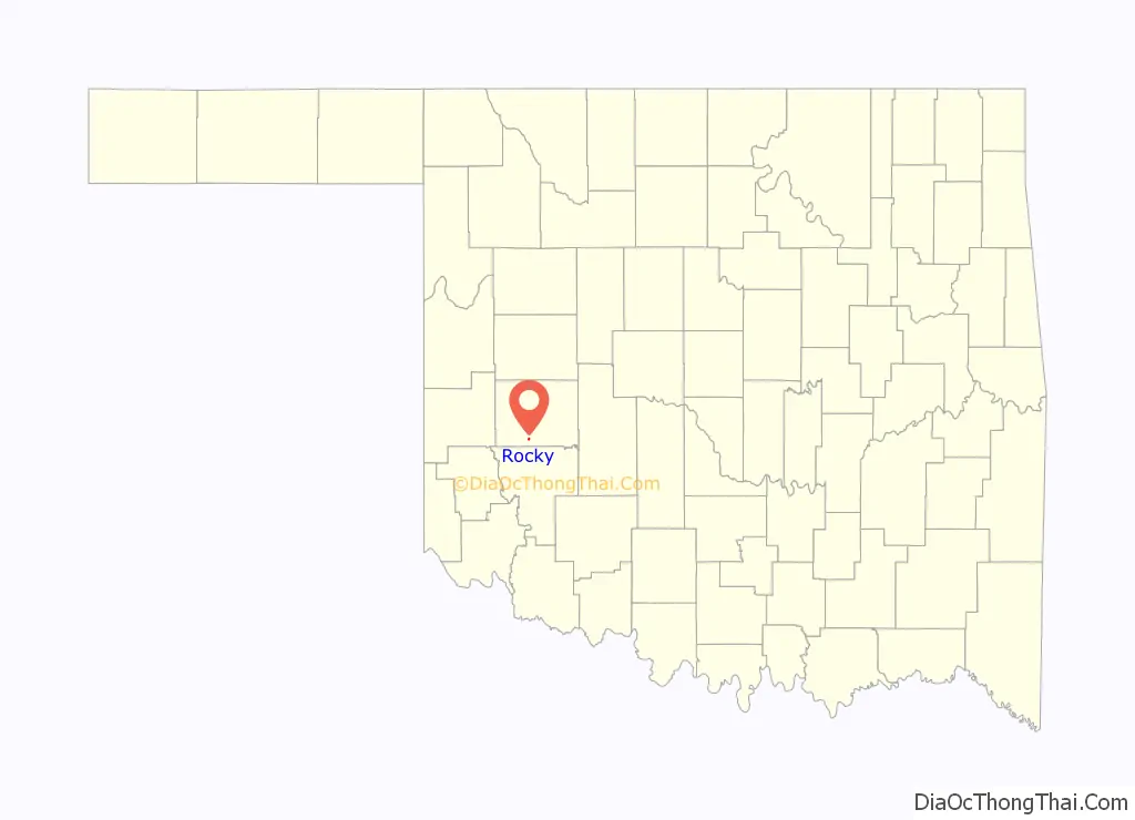
| State: | Oklahoma |
| County: | Washita County |
| Elevation: | 1,650 ft (503 m) |
| Total Area: | 0.21 sq mi (0.54 km²) |
| Land Area: | 0.21 sq mi (0.54 km²) |
| Water Area: | 0.00 sq mi (0.00 km²) |
| Total Population: | 128 |
| Population Density: | 609.52/sq mi (235.23/km²) |
| ZIP code: | 73661 |
| Area code: | 580 |
| FIPS code: | 4063700 |
| GNISfeature ID: | 1097367 |
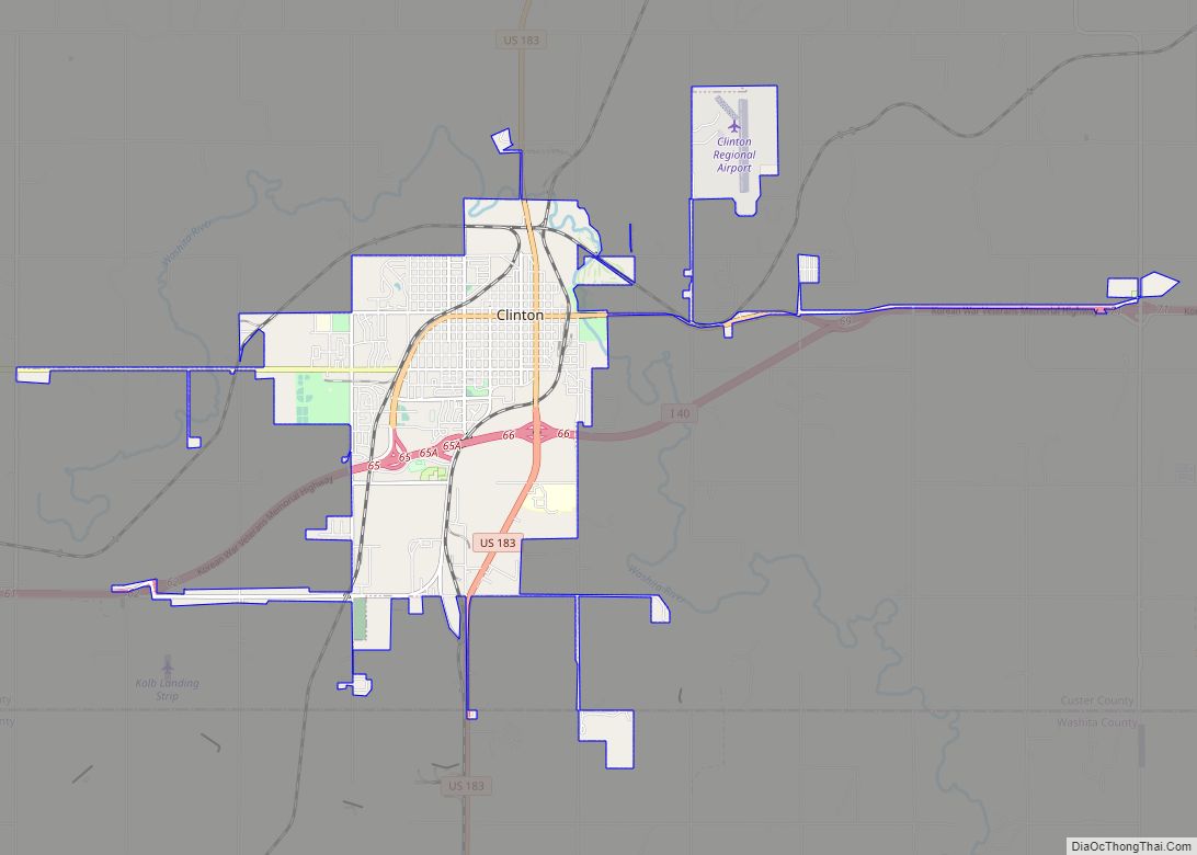
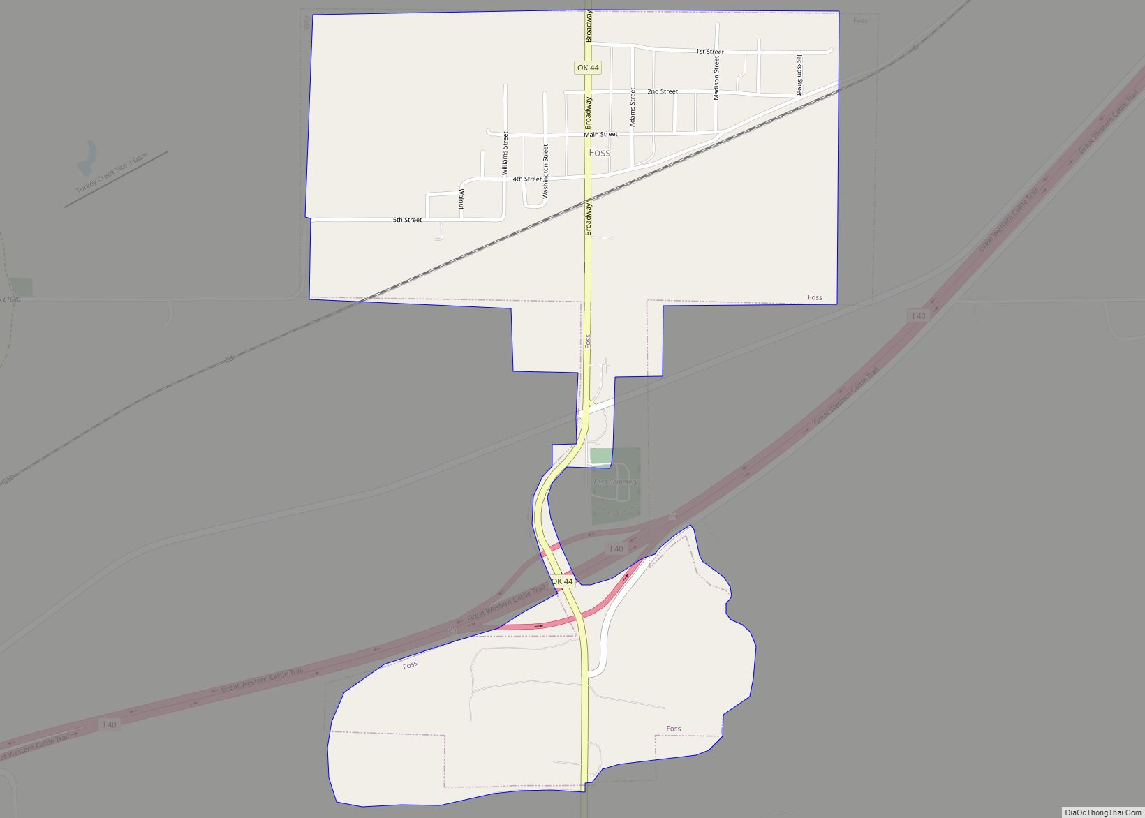
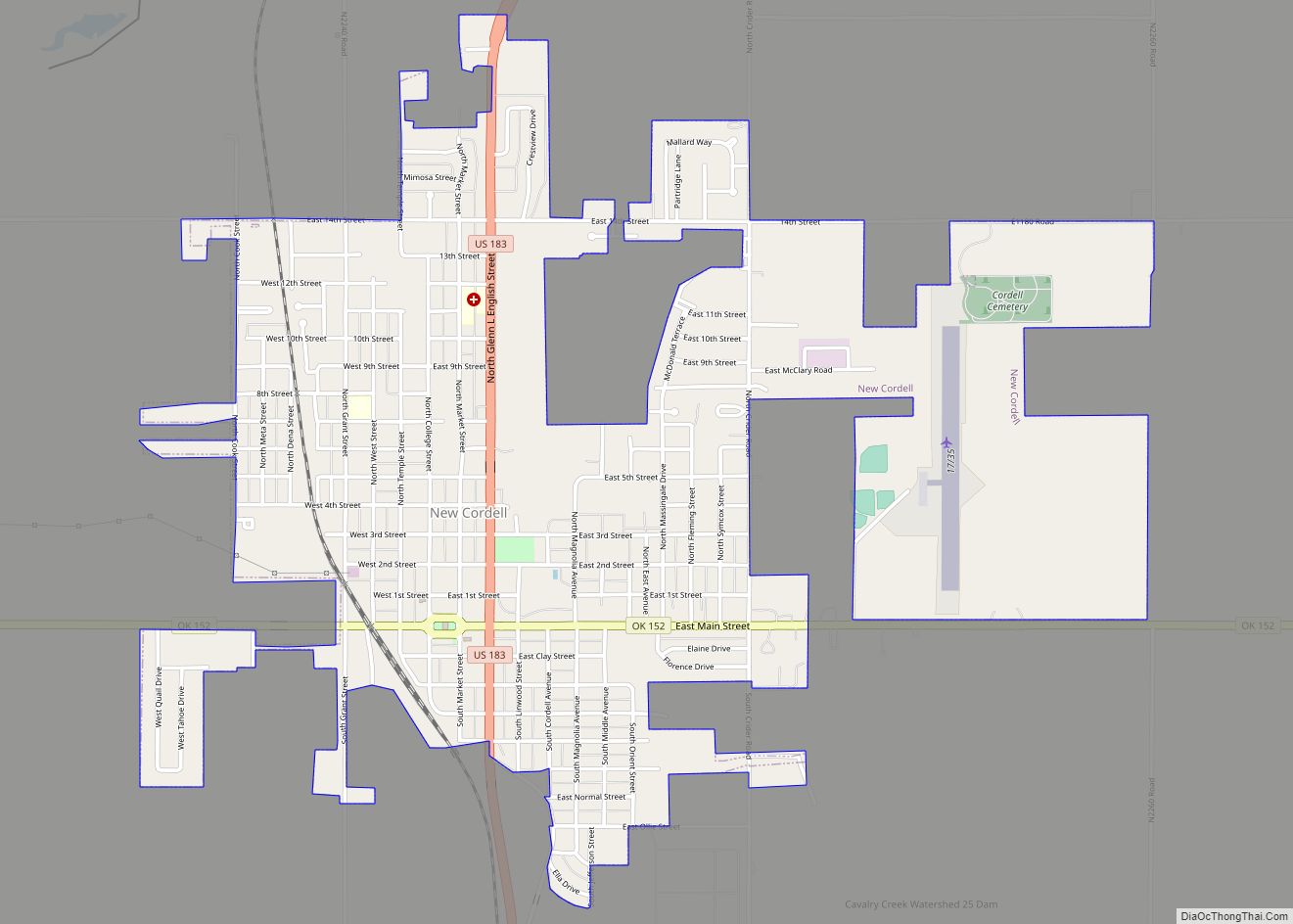
Online Interactive Map
Click on ![]() to view map in "full screen" mode.
to view map in "full screen" mode.
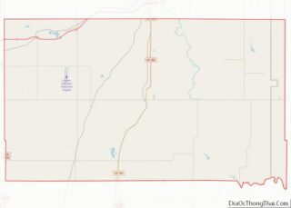
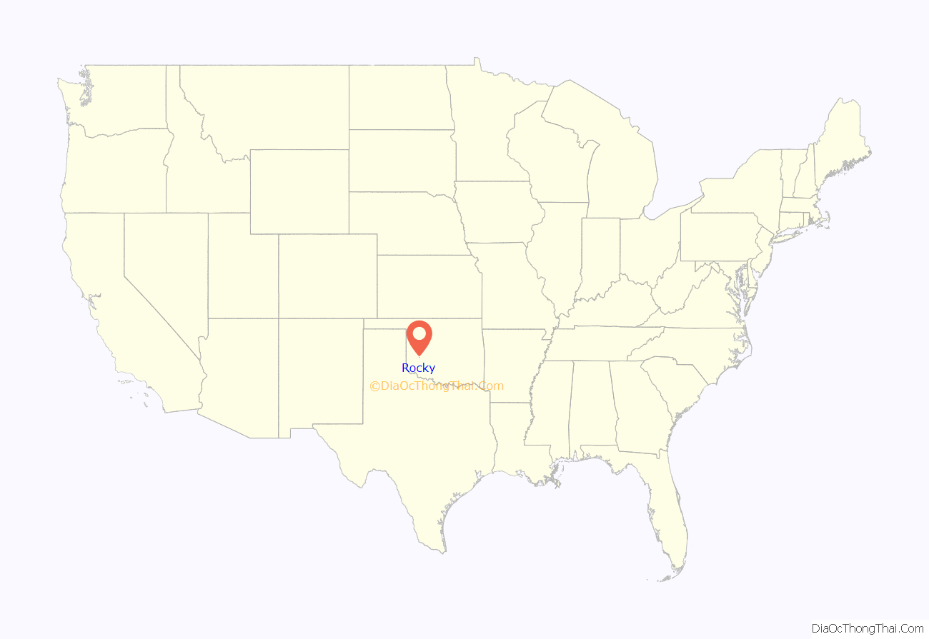
Rocky location map. Where is Rocky town?
History
Two men, W. F. Shultz and John C. Riffee, arrived at this location in 1897 to open a trading establishment with the local natives. They erected a building constructed of rock they gathered at the Kiowa Reservation, about 8 miles (13 km) southwest of their site. They opened for business in 1898 as the Rocky Mercantile Store. The community was named for the store. A post office was established inside the store on July 12, 1898, with John Riffee named as the first postmaster. According to the local newspaper, Rocky handled more than one-third of all mail delivered in Washita County in 1906.
The Orange Blossom School System was organized about 0.5 miles (0.80 km) south of Rocky in 1902. The town built a new school in 1907. The Works Progress Administration built another school building in the late 1930s. However, the 1930 census marked the highest point of Rocky’s growth, so no more schools were ever built. Instead, Rocky voters closed the district and merged it into the Sentinel district in 1967. The WPA-built school became a community center.
The Blackwell, Enid and Southwestern Railroad (BES) built a line through Rocky in 1902. The area around the community already had established as a producer of wheat, hay, and cotton. These were mostly shipped to market by rail. BES later was merged into the St. Louis and San Francisco Railway, (commonly known as the Frisco). By 1906, Rocky’s economic base had added three grain elevators, three cotton gins, and considerable hay and livestock.
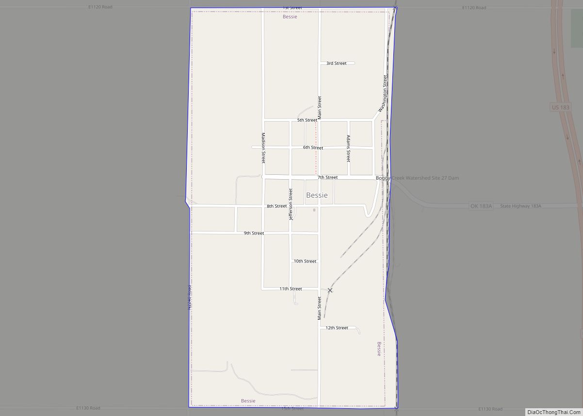
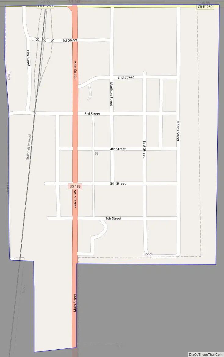
Rocky Road Map
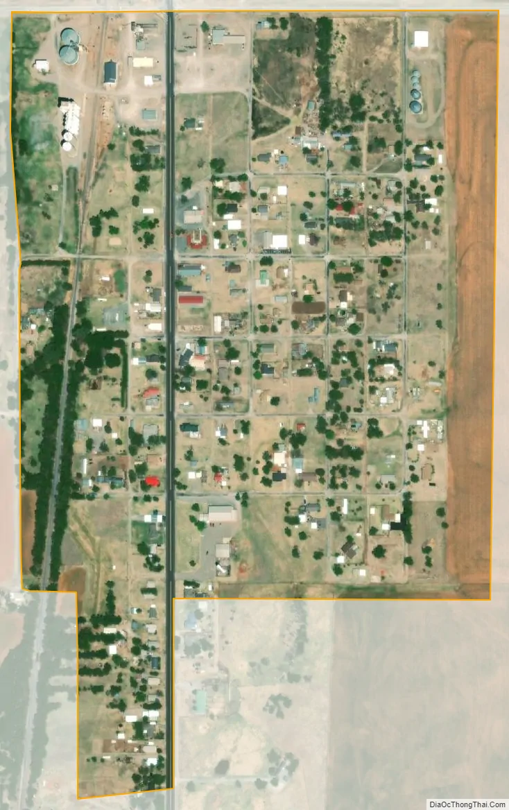
Rocky city Satellite Map
Geography
Rocky is located at 35°9′23″N 99°3′36″W / 35.15639°N 99.06000°W / 35.15639; -99.06000 (35.156397, -99.059987).
According to the United States Census Bureau, the town has a total area of 0.2 square miles (0.52 km), all land. Lake Hobart (also known as Lake Rocky) is just to the northwest of Rocky.
See also
Map of Oklahoma State and its subdivision:- Adair
- Alfalfa
- Atoka
- Beaver
- Beckham
- Blaine
- Bryan
- Caddo
- Canadian
- Carter
- Cherokee
- Choctaw
- Cimarron
- Cleveland
- Coal
- Comanche
- Cotton
- Craig
- Creek
- Custer
- Delaware
- Dewey
- Ellis
- Garfield
- Garvin
- Grady
- Grant
- Greer
- Harmon
- Harper
- Haskell
- Hughes
- Jackson
- Jefferson
- Johnston
- Kay
- Kingfisher
- Kiowa
- Latimer
- Le Flore
- Lincoln
- Logan
- Love
- Major
- Marshall
- Mayes
- McClain
- McCurtain
- McIntosh
- Murray
- Muskogee
- Noble
- Nowata
- Okfuskee
- Oklahoma
- Okmulgee
- Osage
- Ottawa
- Pawnee
- Payne
- Pittsburg
- Pontotoc
- Pottawatomie
- Pushmataha
- Roger Mills
- Rogers
- Seminole
- Sequoyah
- Stephens
- Texas
- Tillman
- Tulsa
- Wagoner
- Washington
- Washita
- Woods
- Woodward
- Alabama
- Alaska
- Arizona
- Arkansas
- California
- Colorado
- Connecticut
- Delaware
- District of Columbia
- Florida
- Georgia
- Hawaii
- Idaho
- Illinois
- Indiana
- Iowa
- Kansas
- Kentucky
- Louisiana
- Maine
- Maryland
- Massachusetts
- Michigan
- Minnesota
- Mississippi
- Missouri
- Montana
- Nebraska
- Nevada
- New Hampshire
- New Jersey
- New Mexico
- New York
- North Carolina
- North Dakota
- Ohio
- Oklahoma
- Oregon
- Pennsylvania
- Rhode Island
- South Carolina
- South Dakota
- Tennessee
- Texas
- Utah
- Vermont
- Virginia
- Washington
- West Virginia
- Wisconsin
- Wyoming