Smith Village is a town in Oklahoma County, Oklahoma, United States, and a part of the Oklahoma City Metropolitan Area. The population was 66 at the 2010 census.
| Name: | Smith Village town |
|---|---|
| LSAD Code: | 43 |
| LSAD Description: | town (suffix) |
| State: | Oklahoma |
| County: | Oklahoma County |
| Elevation: | 1,217 ft (371 m) |
| Total Area: | 0.03 sq mi (0.07 km²) |
| Land Area: | 0.03 sq mi (0.07 km²) |
| Water Area: | 0.00 sq mi (0.00 km²) |
| Total Population: | 49 |
| Population Density: | 1,750.00/sq mi (671.32/km²) |
| FIPS code: | 4068200 |
| GNISfeature ID: | 1098141 |
Online Interactive Map
Click on ![]() to view map in "full screen" mode.
to view map in "full screen" mode.
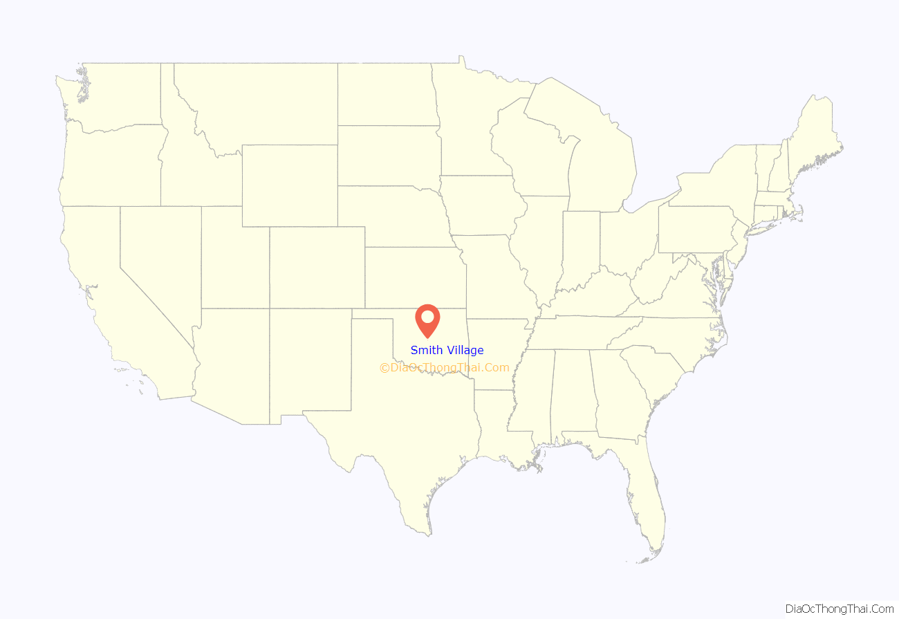
Smith Village location map. Where is Smith Village town?
History
Rose Henrietta Smith inherited a twenty-acre farm which she subdivided into lots and created the Rose Smith Addition housing development. The town encompasses three-tenths of a square mile and is bounded by Oklahoma City on the west side and by Del City on the North, East and South. In 1952 when Del City attempted to annex the addition, its residents decided to incorporate which was done by a vote in November 1952. Since 1952 a town government has been elected on an irregular basis. Water and sewer services are provided by Sooner Utilities.
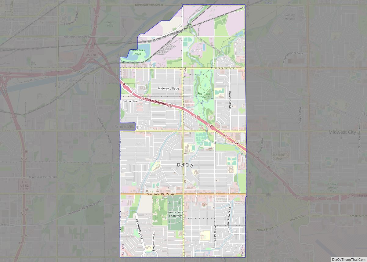
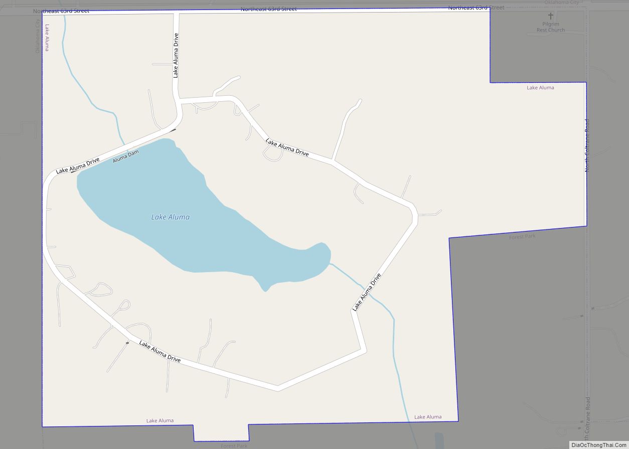
Smith Village Road Map
Smith Village city Satellite Map
Geography
Smith Village is located at 35°27′4″N 97°27′26″W / 35.45111°N 97.45722°W / 35.45111; -97.45722 (35.451075, -97.457101).
According to the United States Census Bureau, the town has a total area of 0.0 mi (0.1 km), all land.
See also
Map of Oklahoma State and its subdivision:- Adair
- Alfalfa
- Atoka
- Beaver
- Beckham
- Blaine
- Bryan
- Caddo
- Canadian
- Carter
- Cherokee
- Choctaw
- Cimarron
- Cleveland
- Coal
- Comanche
- Cotton
- Craig
- Creek
- Custer
- Delaware
- Dewey
- Ellis
- Garfield
- Garvin
- Grady
- Grant
- Greer
- Harmon
- Harper
- Haskell
- Hughes
- Jackson
- Jefferson
- Johnston
- Kay
- Kingfisher
- Kiowa
- Latimer
- Le Flore
- Lincoln
- Logan
- Love
- Major
- Marshall
- Mayes
- McClain
- McCurtain
- McIntosh
- Murray
- Muskogee
- Noble
- Nowata
- Okfuskee
- Oklahoma
- Okmulgee
- Osage
- Ottawa
- Pawnee
- Payne
- Pittsburg
- Pontotoc
- Pottawatomie
- Pushmataha
- Roger Mills
- Rogers
- Seminole
- Sequoyah
- Stephens
- Texas
- Tillman
- Tulsa
- Wagoner
- Washington
- Washita
- Woods
- Woodward
- Alabama
- Alaska
- Arizona
- Arkansas
- California
- Colorado
- Connecticut
- Delaware
- District of Columbia
- Florida
- Georgia
- Hawaii
- Idaho
- Illinois
- Indiana
- Iowa
- Kansas
- Kentucky
- Louisiana
- Maine
- Maryland
- Massachusetts
- Michigan
- Minnesota
- Mississippi
- Missouri
- Montana
- Nebraska
- Nevada
- New Hampshire
- New Jersey
- New Mexico
- New York
- North Carolina
- North Dakota
- Ohio
- Oklahoma
- Oregon
- Pennsylvania
- Rhode Island
- South Carolina
- South Dakota
- Tennessee
- Texas
- Utah
- Vermont
- Virginia
- Washington
- West Virginia
- Wisconsin
- Wyoming
