Spencer is a city in Oklahoma County, Oklahoma, United States, and a part of the Oklahoma City metropolitan area. The population was 3,978 at the 2020 census, a 1.7% increase from 2010.
Established in 1903, the City of Spencer is a historic community located just east of the North Canadian River. Spencer is approximately ten miles from downtown Oklahoma City and borders the cities of Nicoma Park to the east and Midwest City to the south.
Contributing to the cultural fabric of Spencer are the Spencer Chamber of Commerce, the Facebook page-Whats going on in Spencer Oklahoma, Spencer Senior Center, Spencer Parks Board and the Spencer Historical Society.
| Name: | Spencer city |
|---|---|
| LSAD Code: | 25 |
| LSAD Description: | city (suffix) |
| State: | Oklahoma |
| County: | Oklahoma County |
| Elevation: | 1,201 ft (366 m) |
| Total Area: | 5.38 sq mi (13.94 km²) |
| Land Area: | 5.38 sq mi (13.94 km²) |
| Water Area: | 0.00 sq mi (0.00 km²) |
| Total Population: | 3,978 |
| Population Density: | 739.27/sq mi (285.42/km²) |
| ZIP code: | 73084 |
| Area code: | 405 |
| FIPS code: | 4069200 |
| GNISfeature ID: | 1098350 |
| Website: | www.cityofspencerok.gov |
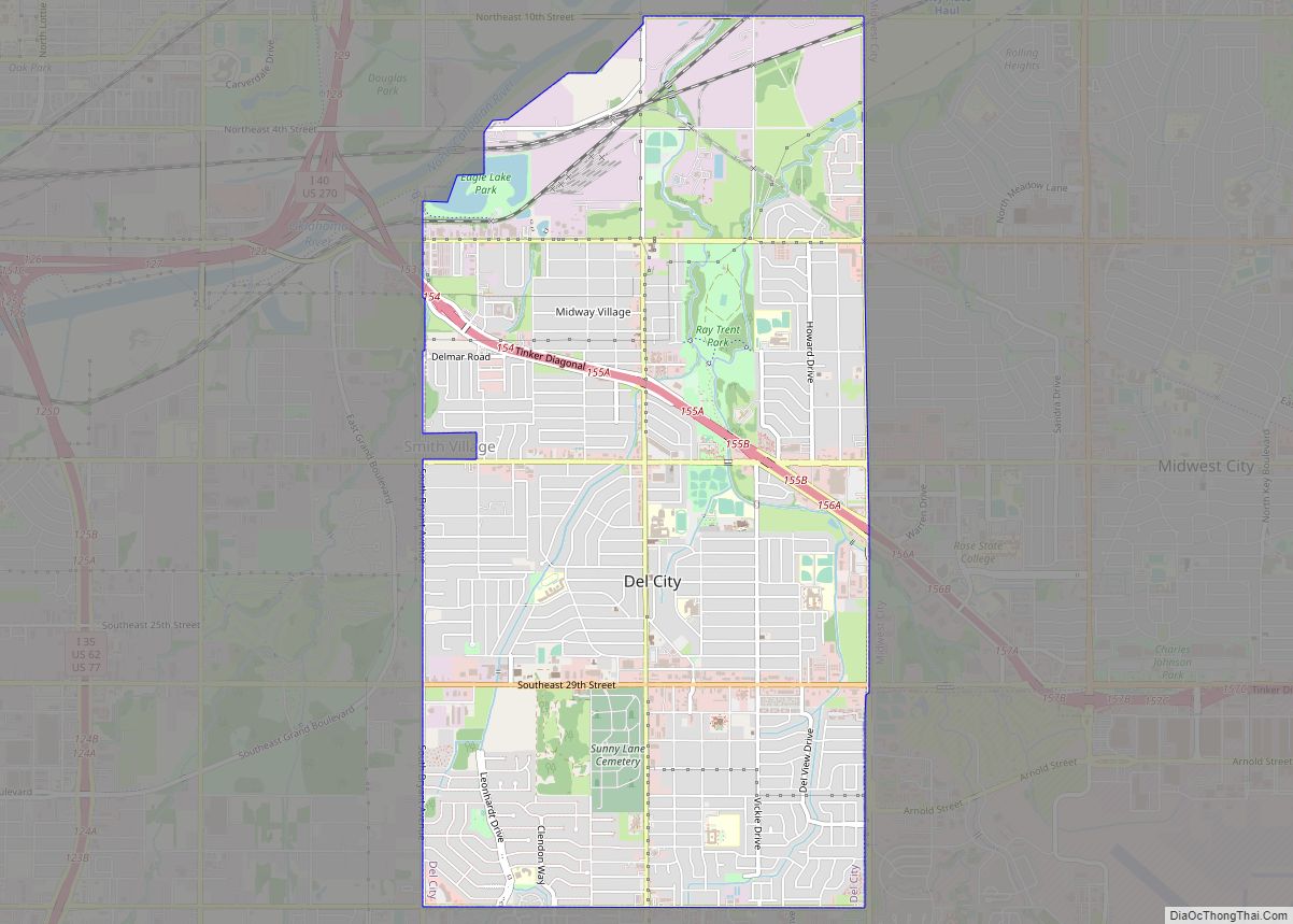
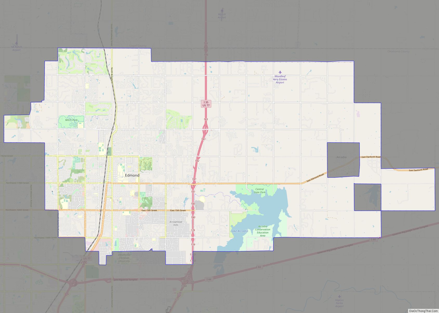
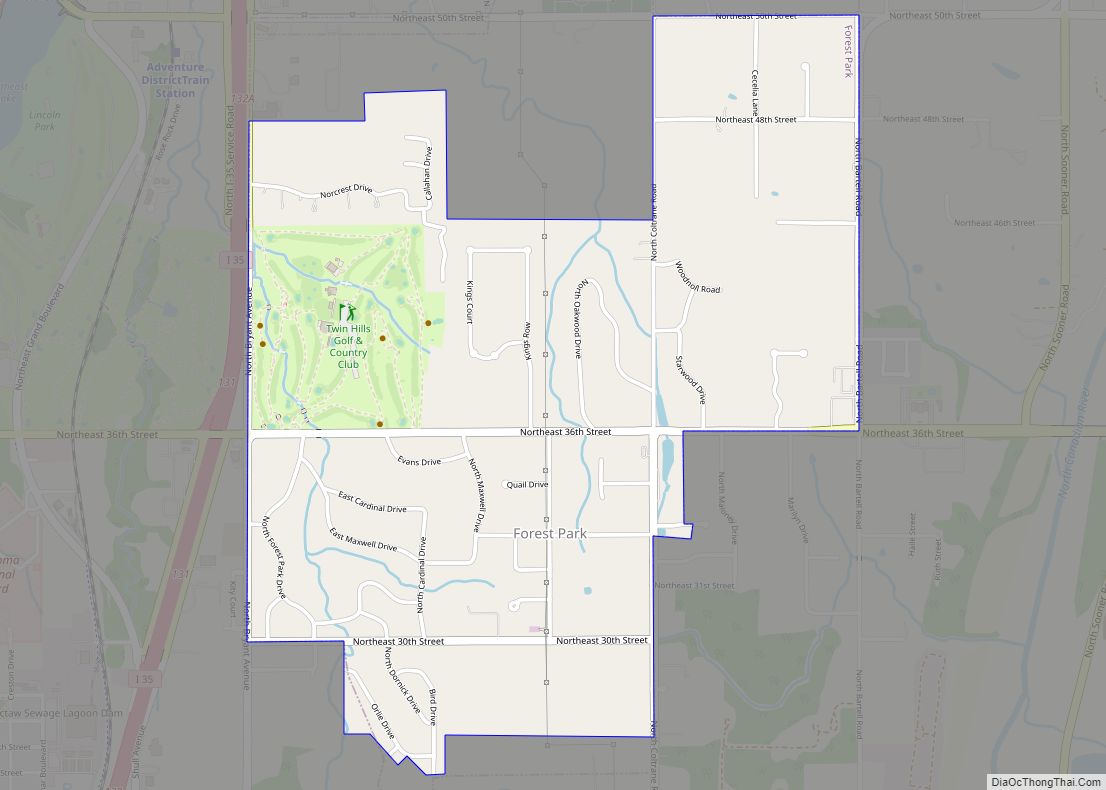
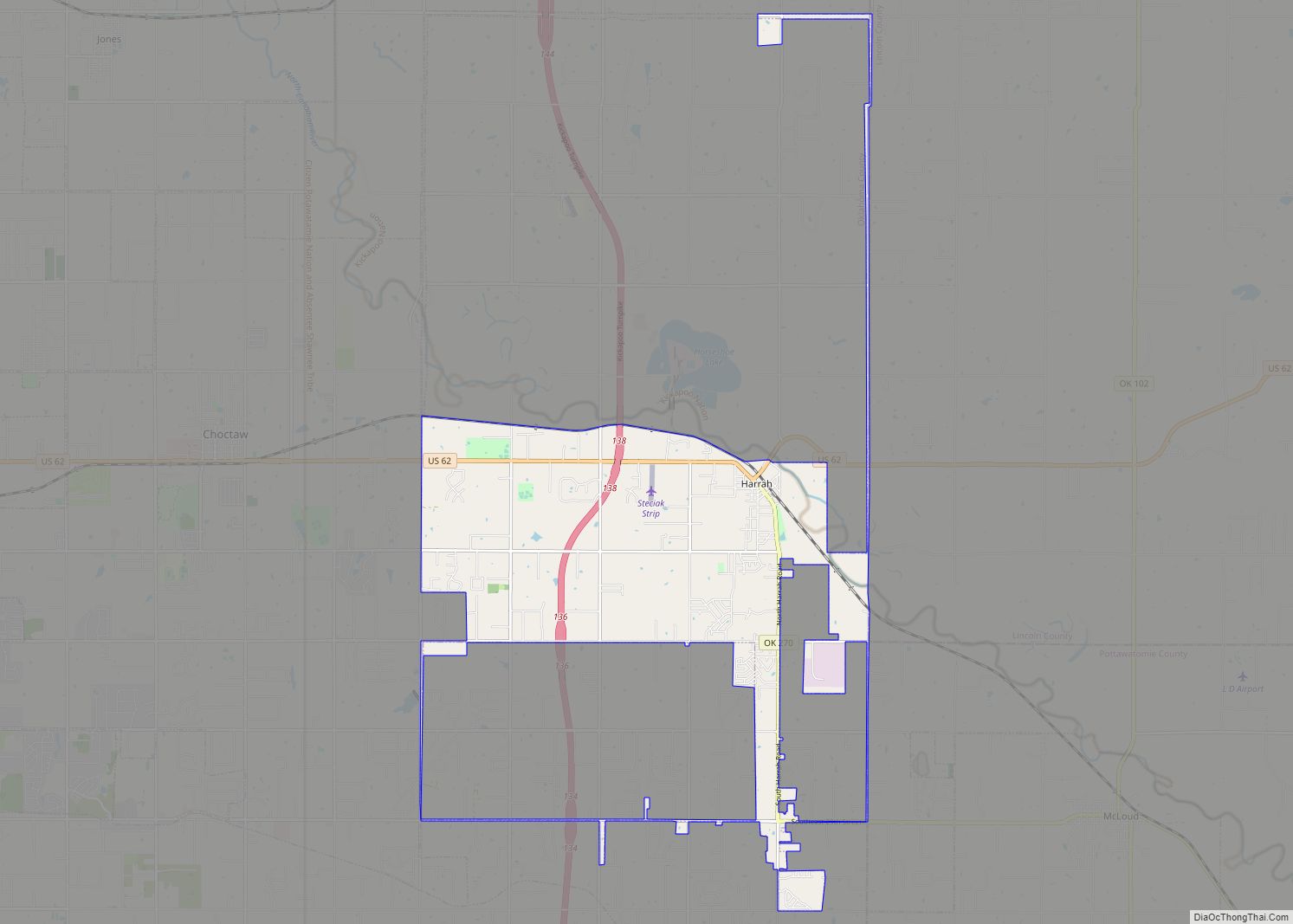
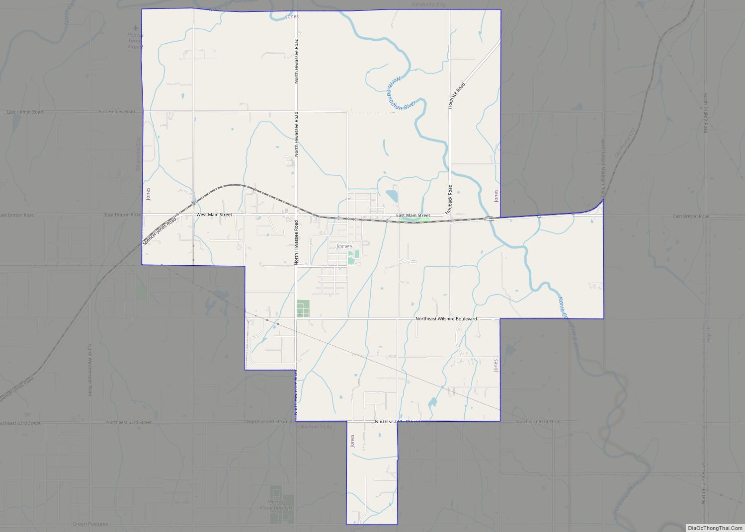
Online Interactive Map
Click on ![]() to view map in "full screen" mode.
to view map in "full screen" mode.
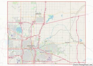
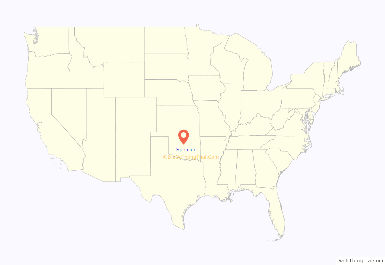
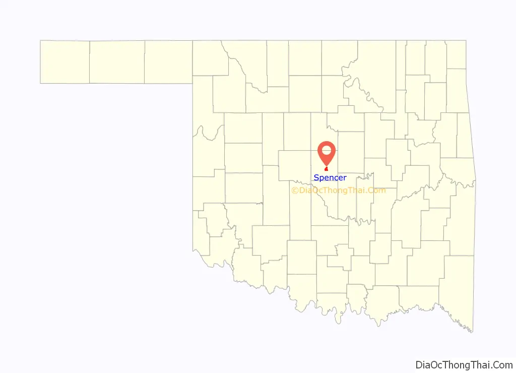
Spencer location map. Where is Spencer city?
History
The region where Spencer was developed was opened to settlement in the Land Run of 1889. Louis F. and Henry W. Kramer, businessmen originally from Spencer County, Indiana, first arrived in Guthrie in 1889 and then moved to Oklahoma City.
Originally an agricultural area, Spencer grew after World War II with the nearby General Motors Assembly Plant and Tinker Air Force Base offering employment.
On January 20, 1982, seven children were killed by the explosion of a water heater in the cafeteria of the city’s Star Elementary School.
CPT Riley L. Pitts, the first black commissioned officer to receive the Medal of Honor, is buried in Spencer’s Hillcrest Memory Gardens. Captain Pitts was a graduate of Wichita University (now Wichita State University.)
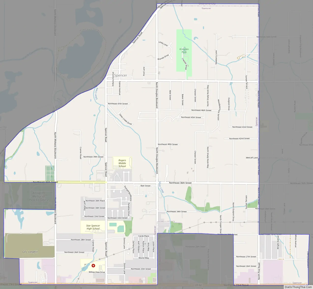
Spencer Road Map
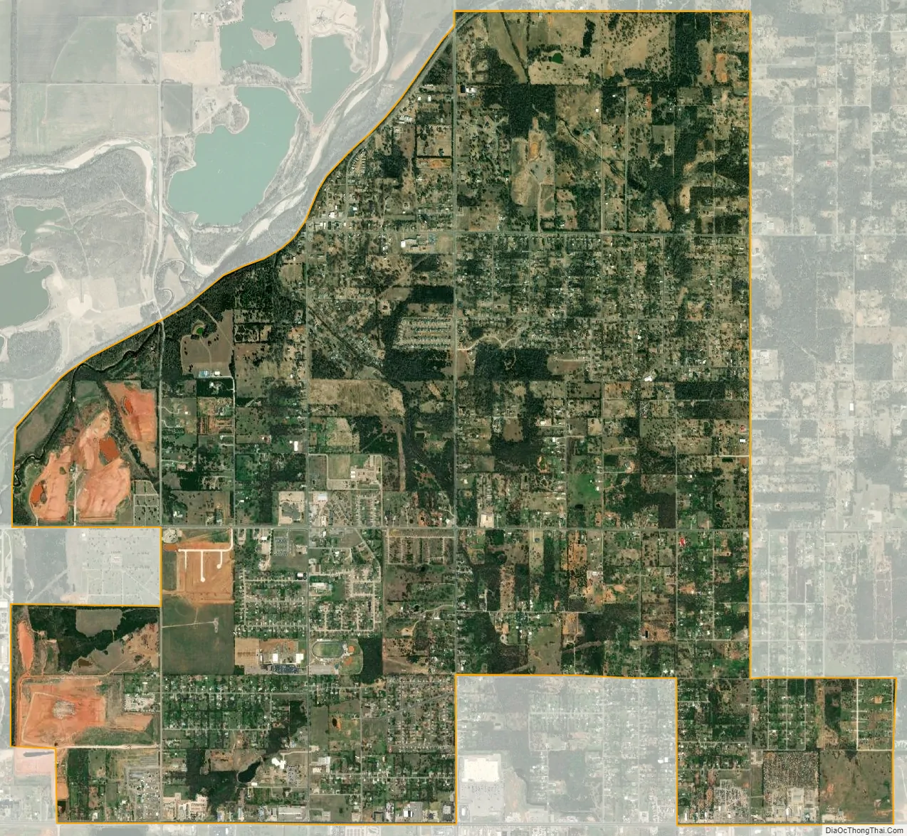
Spencer city Satellite Map
Geography
Spencer is located at 35°30′28″N 97°22′14″W / 35.50778°N 97.37056°W / 35.50778; -97.37056 (35.507760, -97.370662).
According to the United States Census Bureau, the city has a total area of 5.3 square miles (14 km), all land.
See also
Map of Oklahoma State and its subdivision:- Adair
- Alfalfa
- Atoka
- Beaver
- Beckham
- Blaine
- Bryan
- Caddo
- Canadian
- Carter
- Cherokee
- Choctaw
- Cimarron
- Cleveland
- Coal
- Comanche
- Cotton
- Craig
- Creek
- Custer
- Delaware
- Dewey
- Ellis
- Garfield
- Garvin
- Grady
- Grant
- Greer
- Harmon
- Harper
- Haskell
- Hughes
- Jackson
- Jefferson
- Johnston
- Kay
- Kingfisher
- Kiowa
- Latimer
- Le Flore
- Lincoln
- Logan
- Love
- Major
- Marshall
- Mayes
- McClain
- McCurtain
- McIntosh
- Murray
- Muskogee
- Noble
- Nowata
- Okfuskee
- Oklahoma
- Okmulgee
- Osage
- Ottawa
- Pawnee
- Payne
- Pittsburg
- Pontotoc
- Pottawatomie
- Pushmataha
- Roger Mills
- Rogers
- Seminole
- Sequoyah
- Stephens
- Texas
- Tillman
- Tulsa
- Wagoner
- Washington
- Washita
- Woods
- Woodward
- Alabama
- Alaska
- Arizona
- Arkansas
- California
- Colorado
- Connecticut
- Delaware
- District of Columbia
- Florida
- Georgia
- Hawaii
- Idaho
- Illinois
- Indiana
- Iowa
- Kansas
- Kentucky
- Louisiana
- Maine
- Maryland
- Massachusetts
- Michigan
- Minnesota
- Mississippi
- Missouri
- Montana
- Nebraska
- Nevada
- New Hampshire
- New Jersey
- New Mexico
- New York
- North Carolina
- North Dakota
- Ohio
- Oklahoma
- Oregon
- Pennsylvania
- Rhode Island
- South Carolina
- South Dakota
- Tennessee
- Texas
- Utah
- Vermont
- Virginia
- Washington
- West Virginia
- Wisconsin
- Wyoming