Steely Hollow is an unincorporated area and census-designated place (CDP) in Cherokee County, Oklahoma, United States. The population was 206 at the 2010 census.
| Name: | Steely Hollow CDP |
|---|---|
| LSAD Code: | 57 |
| LSAD Description: | CDP (suffix) |
| State: | Oklahoma |
| County: | Cherokee County |
| Total Area: | 4.78 sq mi (12.39 km²) |
| Land Area: | 4.77 sq mi (12.36 km²) |
| Water Area: | 0.01 sq mi (0.03 km²) |
| Total Population: | 292 |
| Population Density: | 61.20/sq mi (23.63/km²) |
| FIPS code: | 4070037 |
| GNISfeature ID: | 2631179 |
Online Interactive Map
Click on ![]() to view map in "full screen" mode.
to view map in "full screen" mode.
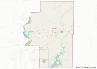
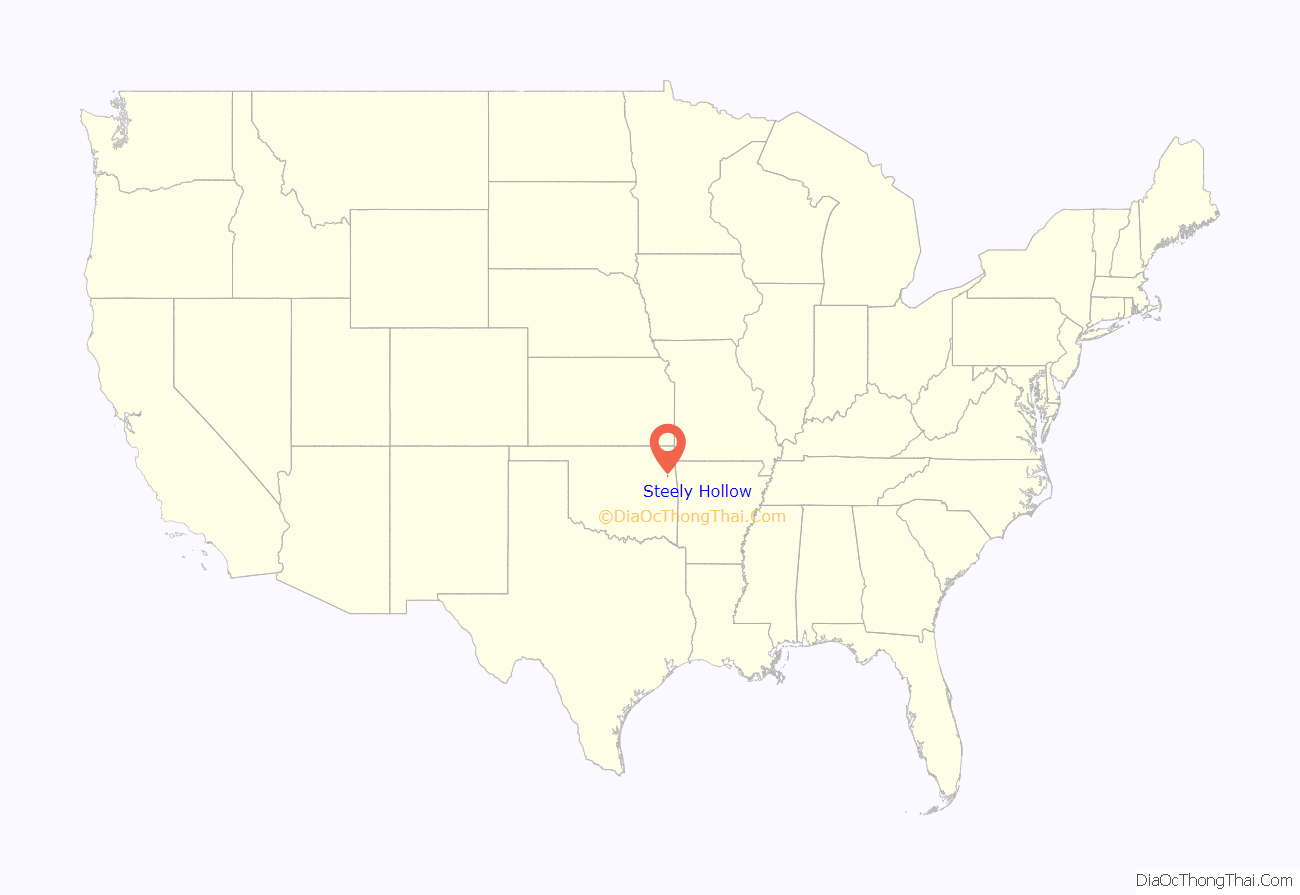
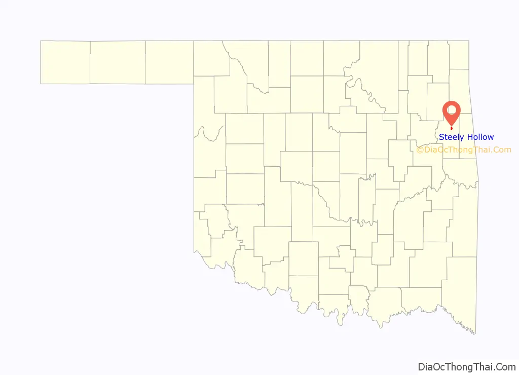
Steely Hollow location map. Where is Steely Hollow CDP?
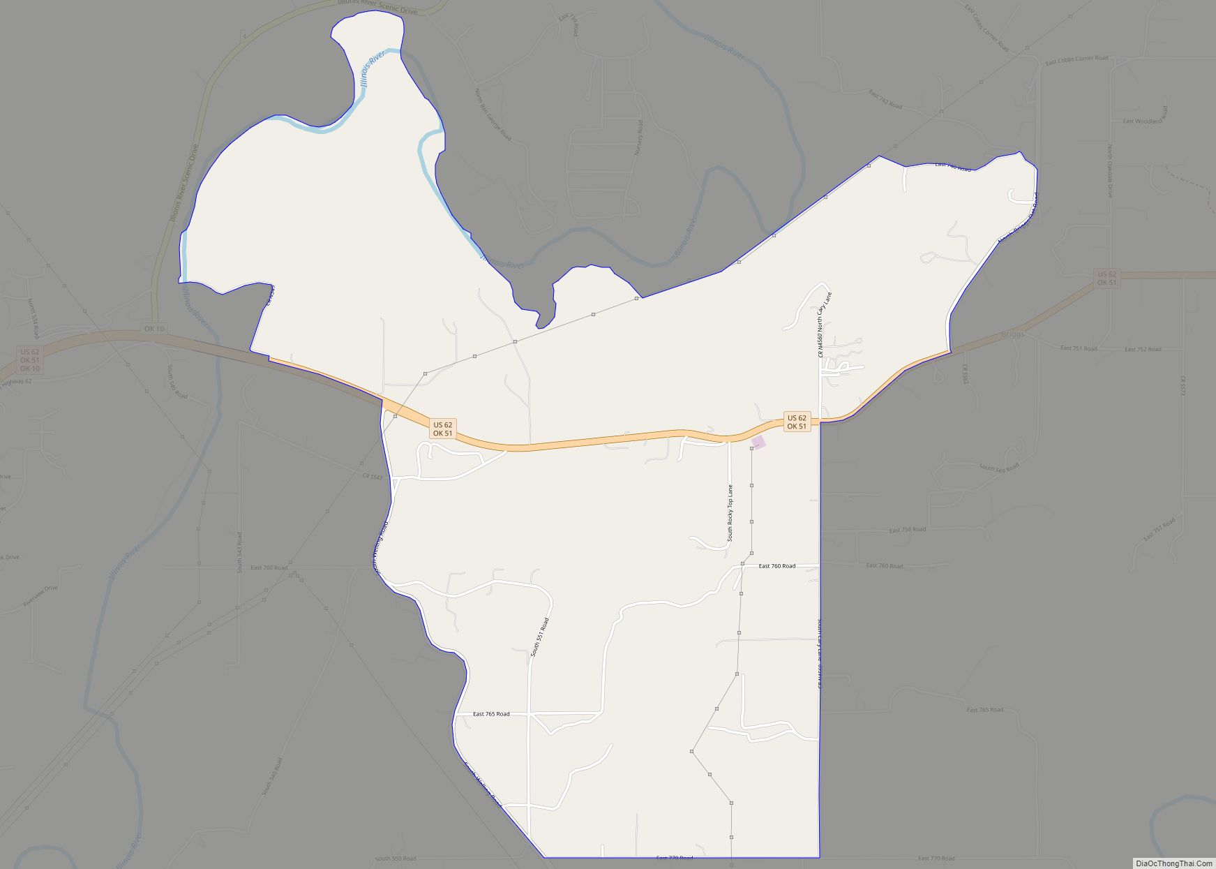
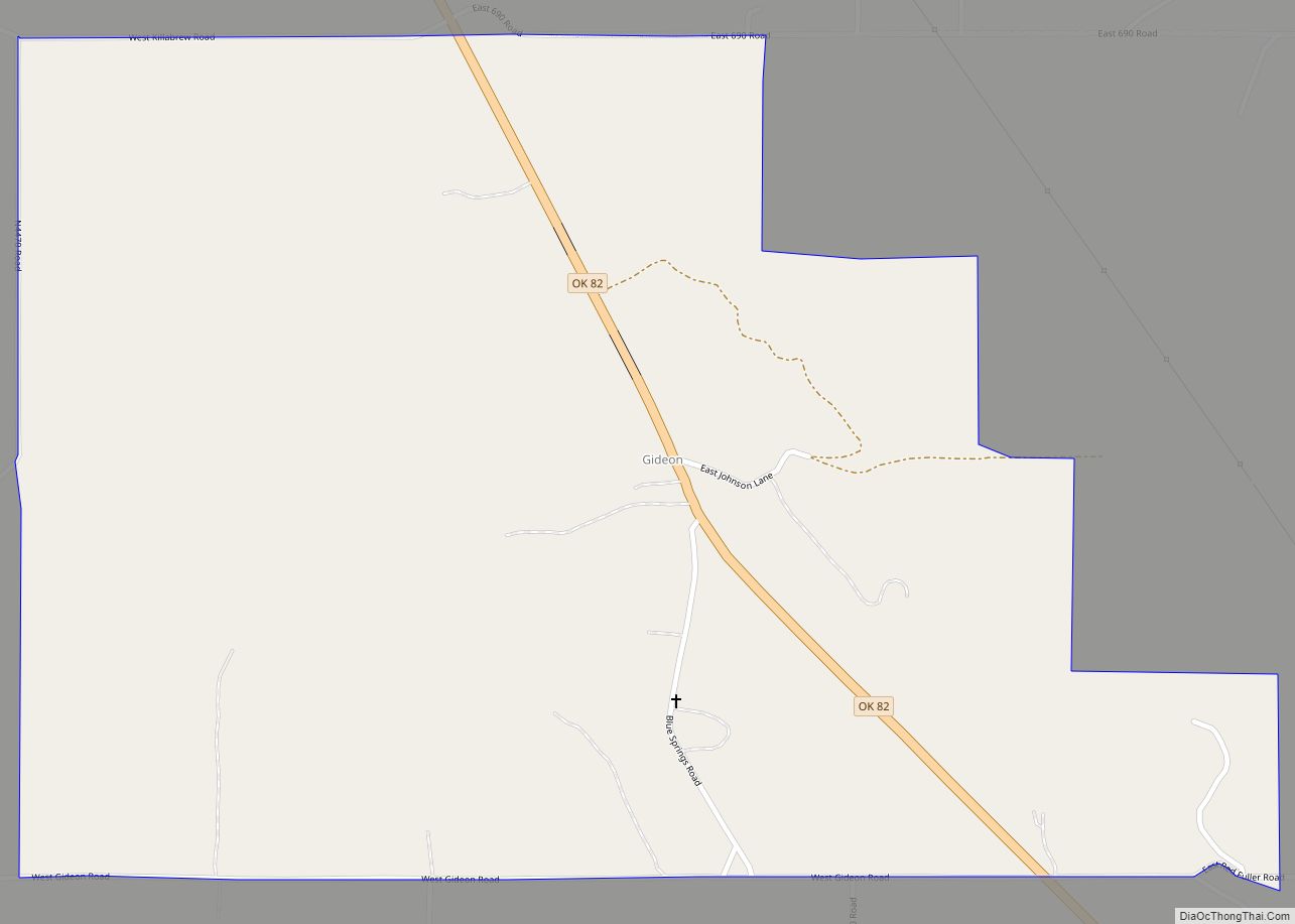
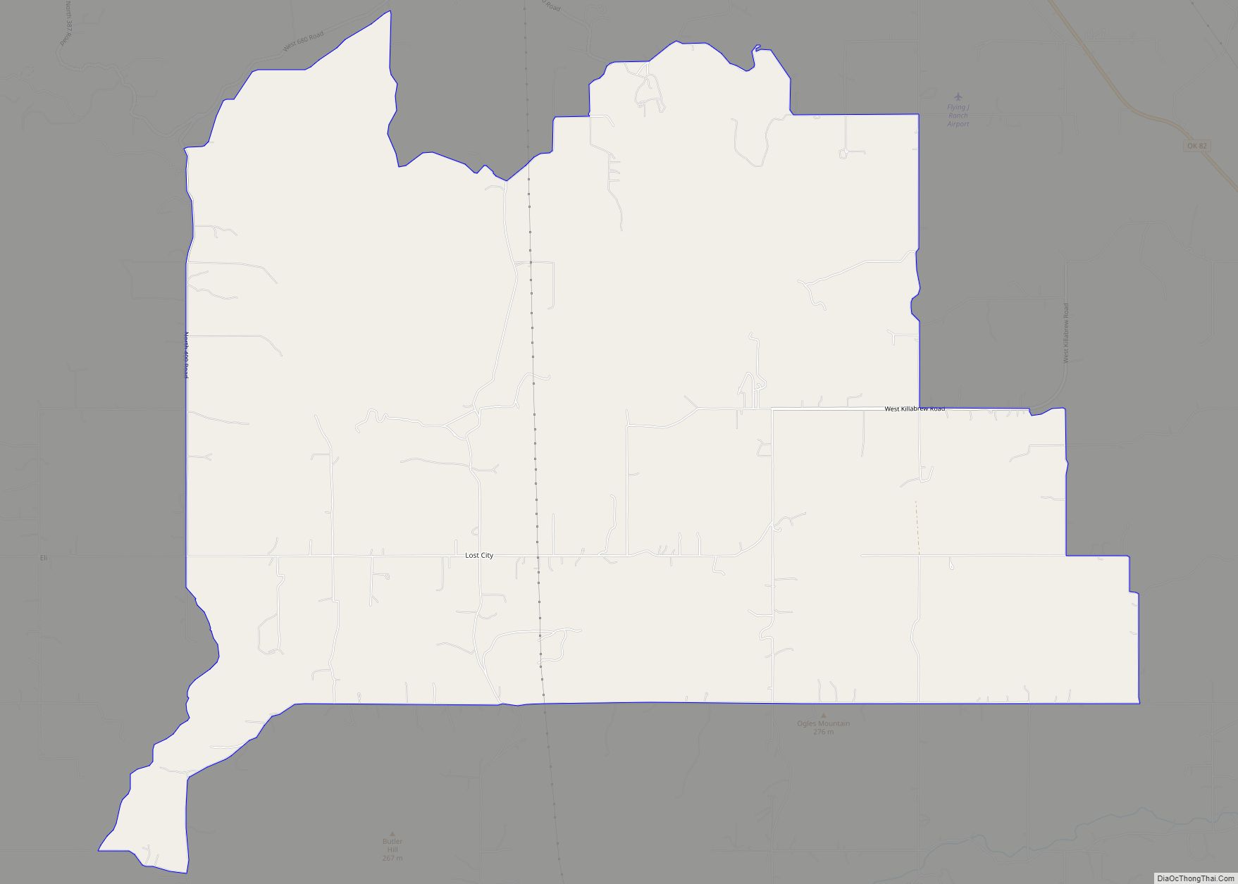
Steely Hollow Road Map
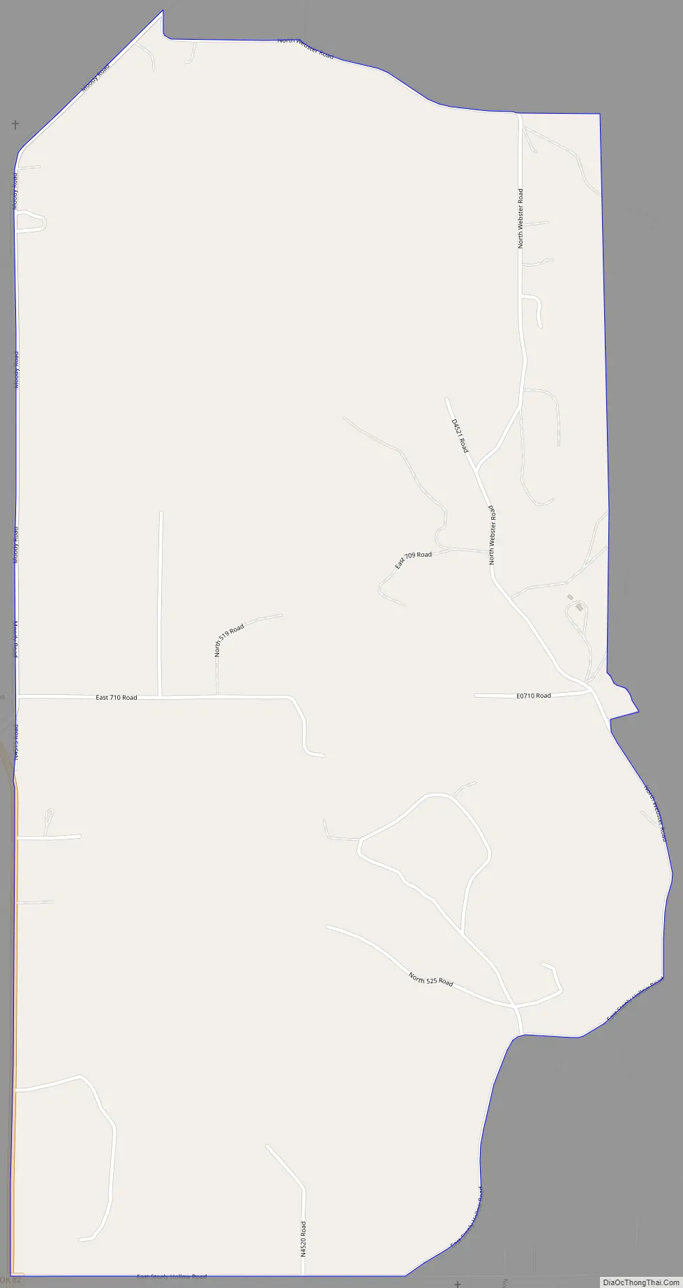
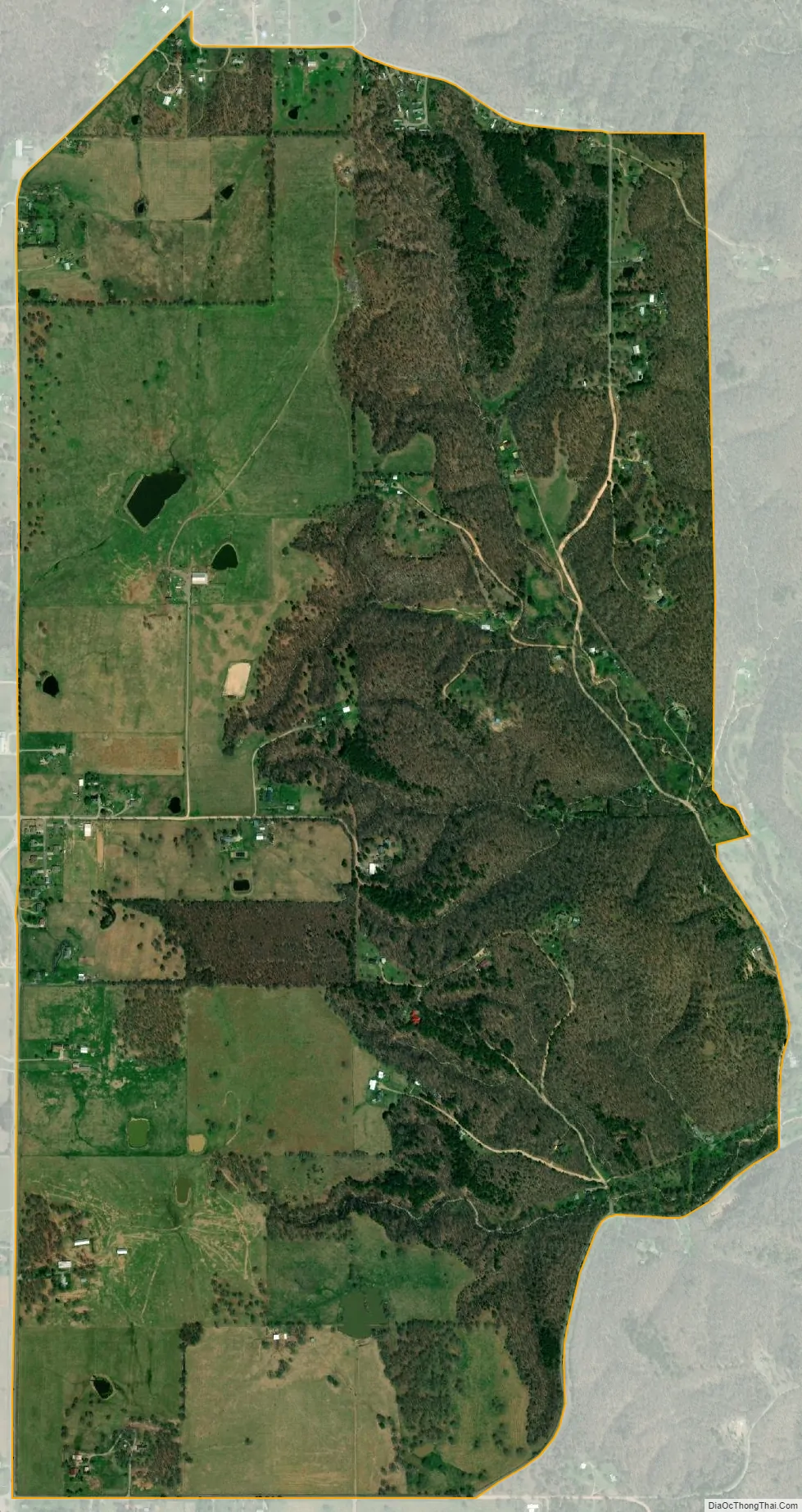
Steely Hollow city Satellite Map
Geography
The name “Steely Hollow” refers to a valley on the east side of the CDP, leading southeast to the Illinois River. Residences in the CDP are both within the valley of Steely Hollow and on high ground to the west of the valley. The CDP is located north of the center of Cherokee County, about 5 miles (8 km) north of Tahlequah, the county seat.
According to the United States Census Bureau, the CDP has a total area of 2.0 square miles (5.3 km), of which 0.008 square miles (0.02 km), or 0.38%, is water.
See also
Map of Oklahoma State and its subdivision:- Adair
- Alfalfa
- Atoka
- Beaver
- Beckham
- Blaine
- Bryan
- Caddo
- Canadian
- Carter
- Cherokee
- Choctaw
- Cimarron
- Cleveland
- Coal
- Comanche
- Cotton
- Craig
- Creek
- Custer
- Delaware
- Dewey
- Ellis
- Garfield
- Garvin
- Grady
- Grant
- Greer
- Harmon
- Harper
- Haskell
- Hughes
- Jackson
- Jefferson
- Johnston
- Kay
- Kingfisher
- Kiowa
- Latimer
- Le Flore
- Lincoln
- Logan
- Love
- Major
- Marshall
- Mayes
- McClain
- McCurtain
- McIntosh
- Murray
- Muskogee
- Noble
- Nowata
- Okfuskee
- Oklahoma
- Okmulgee
- Osage
- Ottawa
- Pawnee
- Payne
- Pittsburg
- Pontotoc
- Pottawatomie
- Pushmataha
- Roger Mills
- Rogers
- Seminole
- Sequoyah
- Stephens
- Texas
- Tillman
- Tulsa
- Wagoner
- Washington
- Washita
- Woods
- Woodward
- Alabama
- Alaska
- Arizona
- Arkansas
- California
- Colorado
- Connecticut
- Delaware
- District of Columbia
- Florida
- Georgia
- Hawaii
- Idaho
- Illinois
- Indiana
- Iowa
- Kansas
- Kentucky
- Louisiana
- Maine
- Maryland
- Massachusetts
- Michigan
- Minnesota
- Mississippi
- Missouri
- Montana
- Nebraska
- Nevada
- New Hampshire
- New Jersey
- New Mexico
- New York
- North Carolina
- North Dakota
- Ohio
- Oklahoma
- Oregon
- Pennsylvania
- Rhode Island
- South Carolina
- South Dakota
- Tennessee
- Texas
- Utah
- Vermont
- Virginia
- Washington
- West Virginia
- Wisconsin
- Wyoming