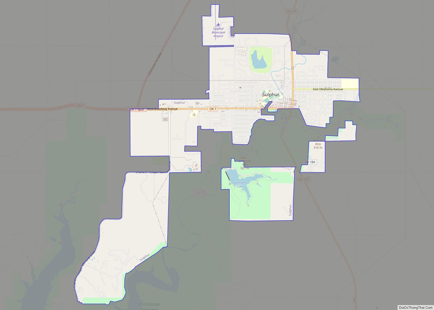
Sulphur is a city in and county seat of Murray County, Oklahoma, United States. The population was 5,065 at the 2020 census, a 2.8 percent gain over the figure of 4,929 in 2010. The area around Sulphur has been noted for its mineral springs, since well before the city was founded late in the 19th century. The city received its name from the presence of sulfur in the water.
| Name: | Sulphur city |
|---|---|
| LSAD Code: | 25 |
| LSAD Description: | city (suffix) |
| State: | Oklahoma |
| County: | Murray County |
| Elevation: | 1,086 ft (305 m) |
| Total Area: | 7.03 sq mi (18.21 km²) |
| Land Area: | 6.85 sq mi (17.75 km²) |
| Water Area: | 0.18 sq mi (0.47 km²) |
| Total Population: | 5,065 |
| Population Density: | 739.20/sq mi (285.41/km²) |
| ZIP code: | 73086 |
| Area code: | 580 |
| FIPS code: | 4071350 |
| GNISfeature ID: | 1098617 |
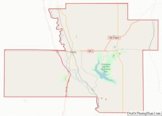
Online Interactive Map
Click on ![]() to view map in "full screen" mode.
to view map in "full screen" mode.
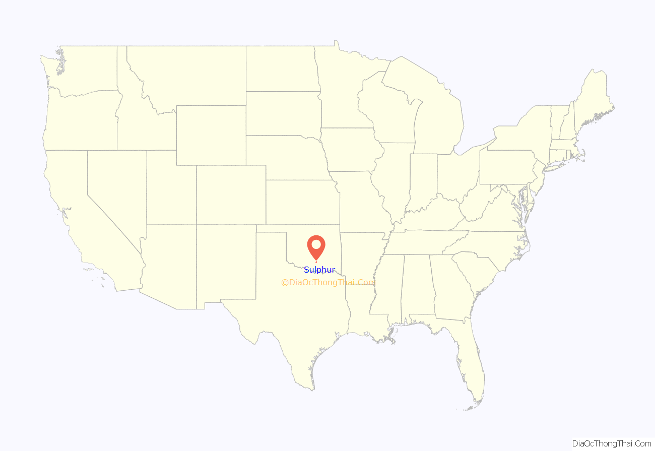
Sulphur location map. Where is Sulphur city?
History
This area was part of Pickens County, Chickasaw Nation in the Indian Territory during the late 19th century. The first known settler was Noah Lael, son-in-law of former Chickasaw Governor Cyrus Harris, who built a ranch south of Pavilion Springs in 1878. In 1882, Harris sold the ranch to Perry Froman, a part Chickasaw rancher. The Encyclopedia of Oklahoma History and Culture says the ranch house was the first residence in Sulphur.
About 1890, a group of fisherman built a clubhouse at the Sulphur site. Conventions and other gatherings began meeting in the vicinity during the early 1890s. The clubhouse owners enlarged the building and sold it for use as a hotel. Richard A. Sneed, a lawyer who visited the area about 1890 and soon after organized the Sulphur Springs Company. The company bought 600 acres (2.4 km) of land from Froman Ranch and platted a townsite. A post office named Sulphur was established October 2, 1895. The Sulphur Headlight, the first newspaper in town, began publication in 1899, and the first telephone exchange in town went into service in 1900.
In the late Spring of 1903, the Sulphur Springs Railway was completed between Sulphur and Scullin, a distance of about 9 miles (14 km), connecting at Scullin to the newly completed St. Louis and San Francisco Railway (Frisco). The Frisco bought the Sulphur Springs Railway in 1907.
In 1902, the U.S. Government and the Chickasaw Nation agreed to preserve the area around the springs, and called it the Sulphur Springs Reservation, later renaming it as Platt National Park. People and buildings were required to move out of the reservation area. The people resettled nearby, creating two communities, West Sulphur and East Sulphur, divided by Rock Creek. Another such move occurred in 1904, when the U.S, government decided to add another 200 acres (0.81 km) to the new park. The reservation officially opened to the public on April 29, 1904. Platt National Park was abolished by Congress and made part of the much larger Chickasaw National Recreation Area (CNRA) in 1976, which included Lake of the Arbuckles.
Sulphur defeated Davis, Oklahoma in an election in 1908 to determine the location of the county seat of the newly created Murray County.
A tornado touched down just northwest of the town on May 9, 2016. It was rated EF3 and did severe damage to homes and trees in the area.
Sulphur Road Map
Sulphur city Satellite Map
Geography
According to the United States Census Bureau, the city has a total area of 7.0 square miles (18 km), of which 6.8 square miles (18 km) is land and 0.2 square miles (0.52 km) (2.16%) is water. Sulphur is in southern Oklahoma, about 84 miles (135 km) southeast of Oklahoma City.
See also
Map of Oklahoma State and its subdivision:- Adair
- Alfalfa
- Atoka
- Beaver
- Beckham
- Blaine
- Bryan
- Caddo
- Canadian
- Carter
- Cherokee
- Choctaw
- Cimarron
- Cleveland
- Coal
- Comanche
- Cotton
- Craig
- Creek
- Custer
- Delaware
- Dewey
- Ellis
- Garfield
- Garvin
- Grady
- Grant
- Greer
- Harmon
- Harper
- Haskell
- Hughes
- Jackson
- Jefferson
- Johnston
- Kay
- Kingfisher
- Kiowa
- Latimer
- Le Flore
- Lincoln
- Logan
- Love
- Major
- Marshall
- Mayes
- McClain
- McCurtain
- McIntosh
- Murray
- Muskogee
- Noble
- Nowata
- Okfuskee
- Oklahoma
- Okmulgee
- Osage
- Ottawa
- Pawnee
- Payne
- Pittsburg
- Pontotoc
- Pottawatomie
- Pushmataha
- Roger Mills
- Rogers
- Seminole
- Sequoyah
- Stephens
- Texas
- Tillman
- Tulsa
- Wagoner
- Washington
- Washita
- Woods
- Woodward
- Alabama
- Alaska
- Arizona
- Arkansas
- California
- Colorado
- Connecticut
- Delaware
- District of Columbia
- Florida
- Georgia
- Hawaii
- Idaho
- Illinois
- Indiana
- Iowa
- Kansas
- Kentucky
- Louisiana
- Maine
- Maryland
- Massachusetts
- Michigan
- Minnesota
- Mississippi
- Missouri
- Montana
- Nebraska
- Nevada
- New Hampshire
- New Jersey
- New Mexico
- New York
- North Carolina
- North Dakota
- Ohio
- Oklahoma
- Oregon
- Pennsylvania
- Rhode Island
- South Carolina
- South Dakota
- Tennessee
- Texas
- Utah
- Vermont
- Virginia
- Washington
- West Virginia
- Wisconsin
- Wyoming
