The Village is a city in Oklahoma County, Oklahoma, United States, and a part of the Oklahoma City metropolitan area. The population was 9500 at the 2020 Census.
The Village is an enclave city nearly surrounded in full by Oklahoma City, except where it abuts Nichols Hills. The Village is home to the corporate headquarters of Love’s Travel Stops & Country Stores, the OKC Friday community newspaper, and Casady School.
The Village has a City Manager form of government. The City Manager is overseen by an elected Council. The position of Mayor rotates among the Council members.
The Village is represented in Congress by Stephanie Bice, in the Oklahoma Senate by Carri Hicks, and in the Oklahoma House by and Cyndi Munson.
| Name: | The Village city |
|---|---|
| LSAD Code: | 25 |
| LSAD Description: | city (suffix) |
| State: | Oklahoma |
| County: | Oklahoma County |
| Elevation: | 1,221 ft (372 m) |
| Total Area: | 2.56 sq mi (6.62 km²) |
| Land Area: | 2.55 sq mi (6.60 km²) |
| Water Area: | 0.01 sq mi (0.02 km²) |
| Total Population: | 9,538 |
| Population Density: | 3,743.33/sq mi (1,445.56/km²) |
| FIPS code: | 4073250 |
| GNISfeature ID: | 1098839 |
Online Interactive Map
Click on ![]() to view map in "full screen" mode.
to view map in "full screen" mode.
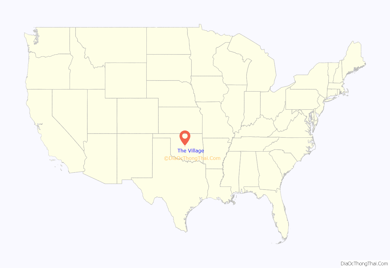
The Village location map. Where is The Village city?
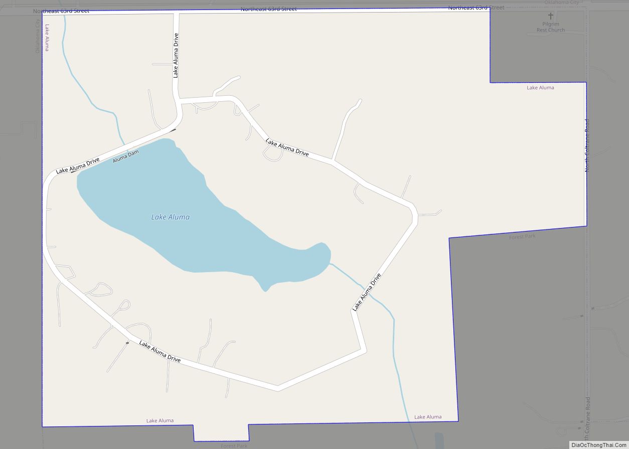
The Village Road Map
The Village city Satellite Map
Geography
The Village is located at 35°34′7″N 97°33′24″W / 35.56861°N 97.55667°W / 35.56861; -97.55667 (35.568723, -97.556600).
According to the United States Census Bureau, the city has a total area of 2.5 square miles (6.5 km), of which 2.5 square miles (6.5 km) is land and 0.39% is water. Oklahoma City surrounds the borders of The Village.
See also
Map of Oklahoma State and its subdivision:- Adair
- Alfalfa
- Atoka
- Beaver
- Beckham
- Blaine
- Bryan
- Caddo
- Canadian
- Carter
- Cherokee
- Choctaw
- Cimarron
- Cleveland
- Coal
- Comanche
- Cotton
- Craig
- Creek
- Custer
- Delaware
- Dewey
- Ellis
- Garfield
- Garvin
- Grady
- Grant
- Greer
- Harmon
- Harper
- Haskell
- Hughes
- Jackson
- Jefferson
- Johnston
- Kay
- Kingfisher
- Kiowa
- Latimer
- Le Flore
- Lincoln
- Logan
- Love
- Major
- Marshall
- Mayes
- McClain
- McCurtain
- McIntosh
- Murray
- Muskogee
- Noble
- Nowata
- Okfuskee
- Oklahoma
- Okmulgee
- Osage
- Ottawa
- Pawnee
- Payne
- Pittsburg
- Pontotoc
- Pottawatomie
- Pushmataha
- Roger Mills
- Rogers
- Seminole
- Sequoyah
- Stephens
- Texas
- Tillman
- Tulsa
- Wagoner
- Washington
- Washita
- Woods
- Woodward
- Alabama
- Alaska
- Arizona
- Arkansas
- California
- Colorado
- Connecticut
- Delaware
- District of Columbia
- Florida
- Georgia
- Hawaii
- Idaho
- Illinois
- Indiana
- Iowa
- Kansas
- Kentucky
- Louisiana
- Maine
- Maryland
- Massachusetts
- Michigan
- Minnesota
- Mississippi
- Missouri
- Montana
- Nebraska
- Nevada
- New Hampshire
- New Jersey
- New Mexico
- New York
- North Carolina
- North Dakota
- Ohio
- Oklahoma
- Oregon
- Pennsylvania
- Rhode Island
- South Carolina
- South Dakota
- Tennessee
- Texas
- Utah
- Vermont
- Virginia
- Washington
- West Virginia
- Wisconsin
- Wyoming
