Tipton is a town in the western part of Tillman County, Oklahoma, United States. The population was 847 at the United States 2010 census, a 31.6 percent decline from 1,238 in 2000.
Tipton also is home to Tipton Home, originally called Tipton Orphans’ Home, a home for children, established in 1921, when Sol and Maggie Tipton donated a plot of land in Canadian, Texas to the founders. The Tipton Church of Christ moved the home to Tipton in 1924, where it still operated into the 21st century.
| Name: | Tipton town |
|---|---|
| LSAD Code: | 43 |
| LSAD Description: | town (suffix) |
| State: | Oklahoma |
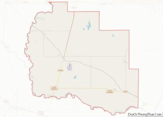
| County: | Tillman County |
| Elevation: | 1,293 ft (394 m) |
| Total Area: | 1.17 sq mi (3.03 km²) |
| Land Area: | 1.17 sq mi (3.03 km²) |
| Water Area: | 0.00 sq mi (0.00 km²) |
| Total Population: | 864 |
| Population Density: | 737.83/sq mi (284.80/km²) |
| ZIP code: | 73570 |
| Area code: | 580 |
| FIPS code: | 4073850 |
| GNISfeature ID: | 1098922 |
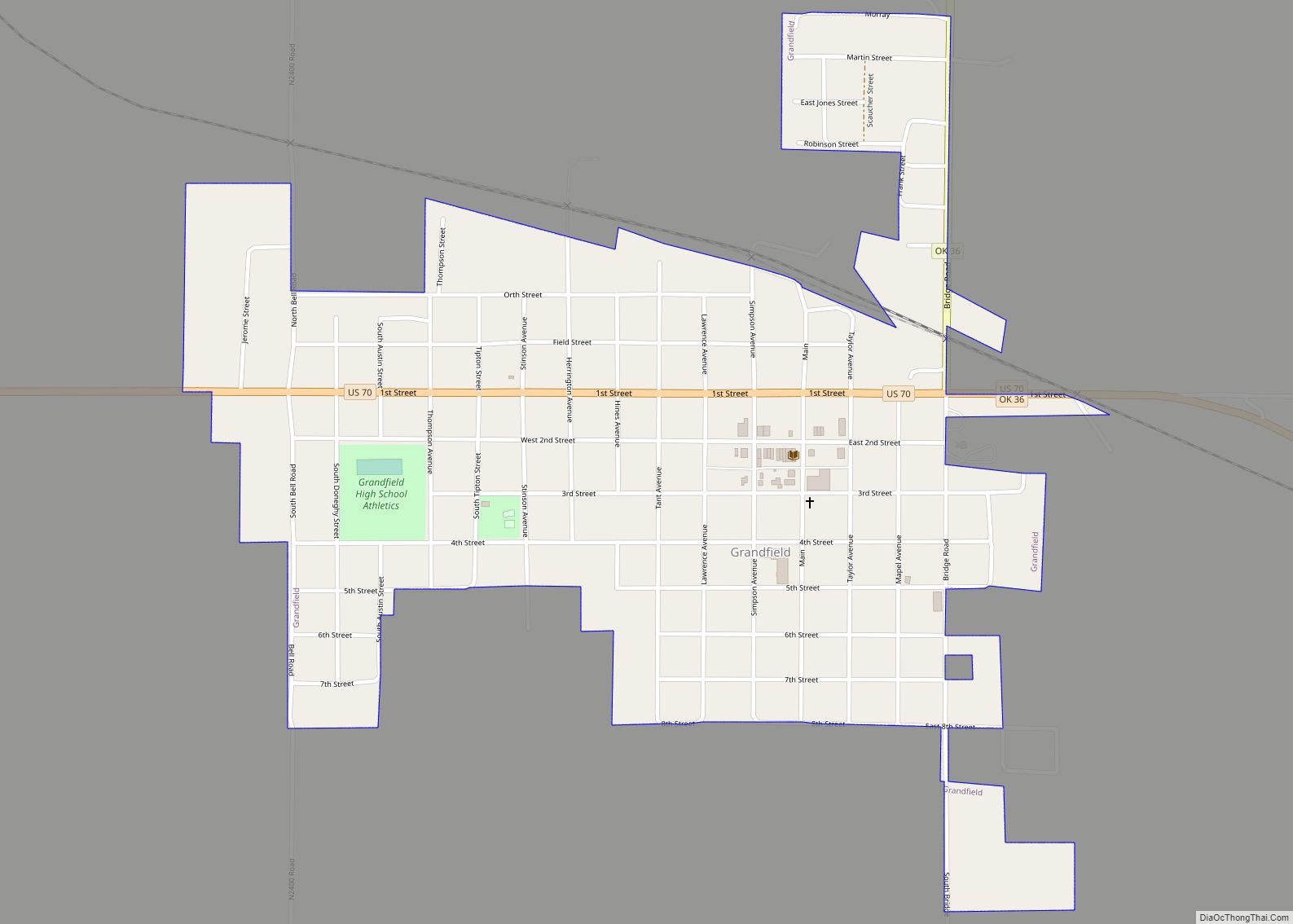
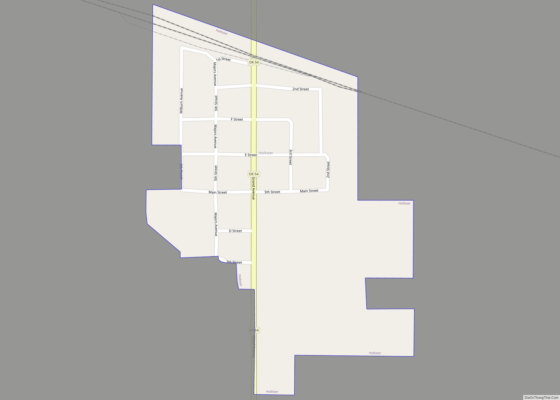
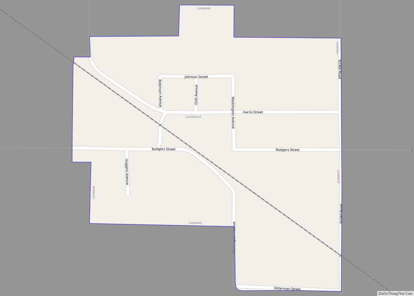
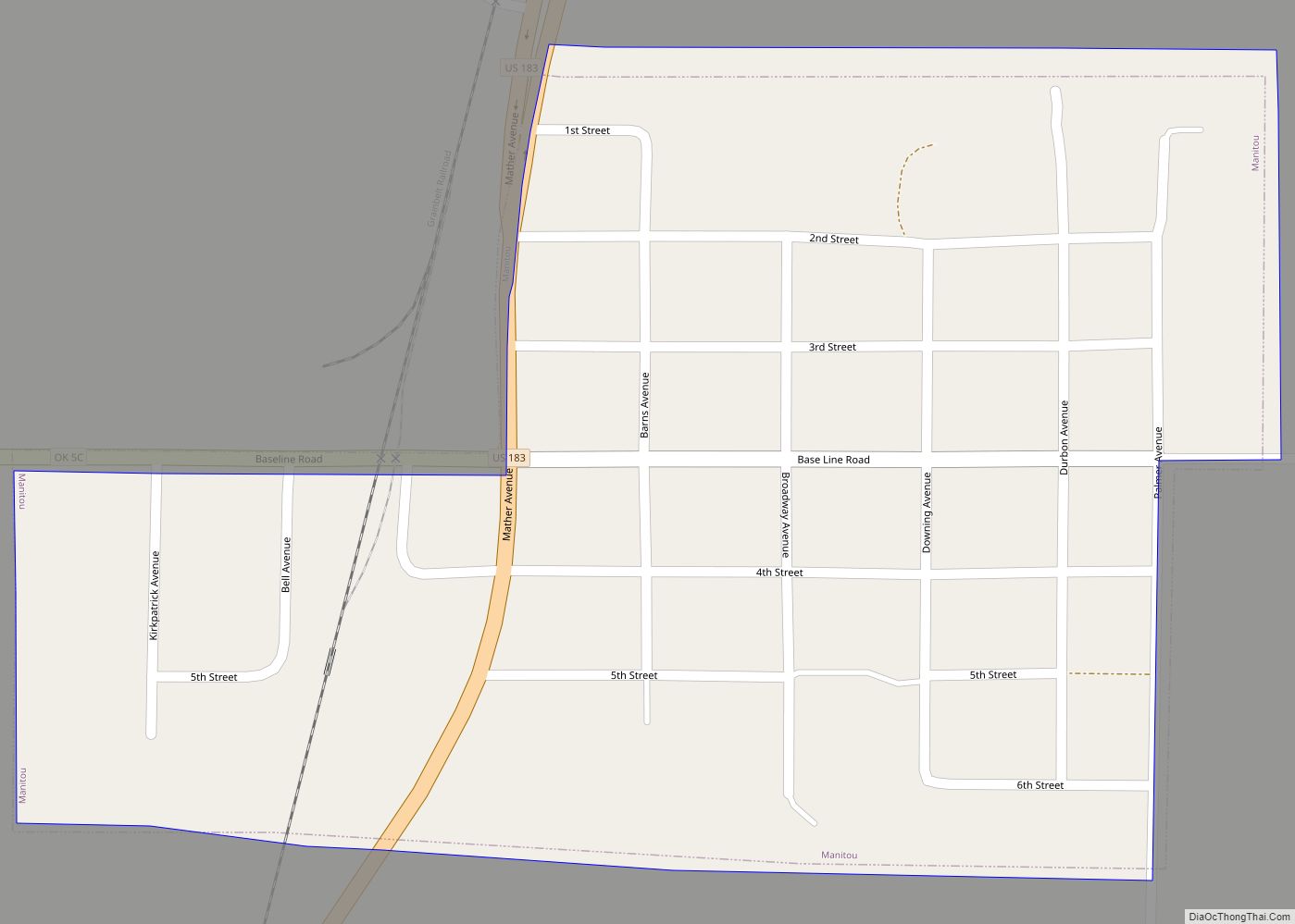
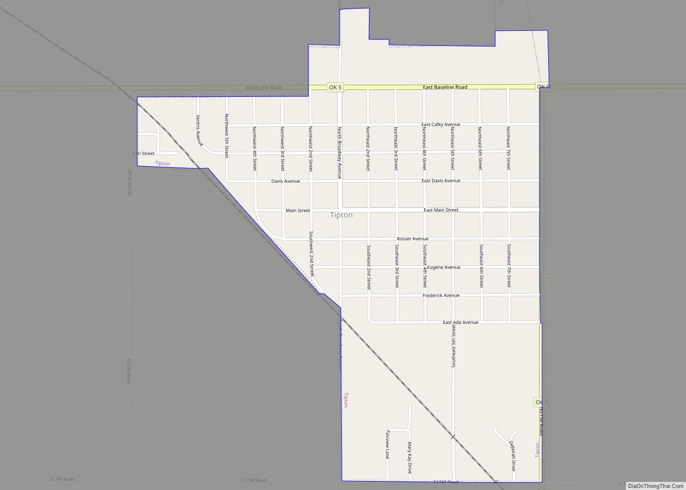
Online Interactive Map
Click on ![]() to view map in "full screen" mode.
to view map in "full screen" mode.
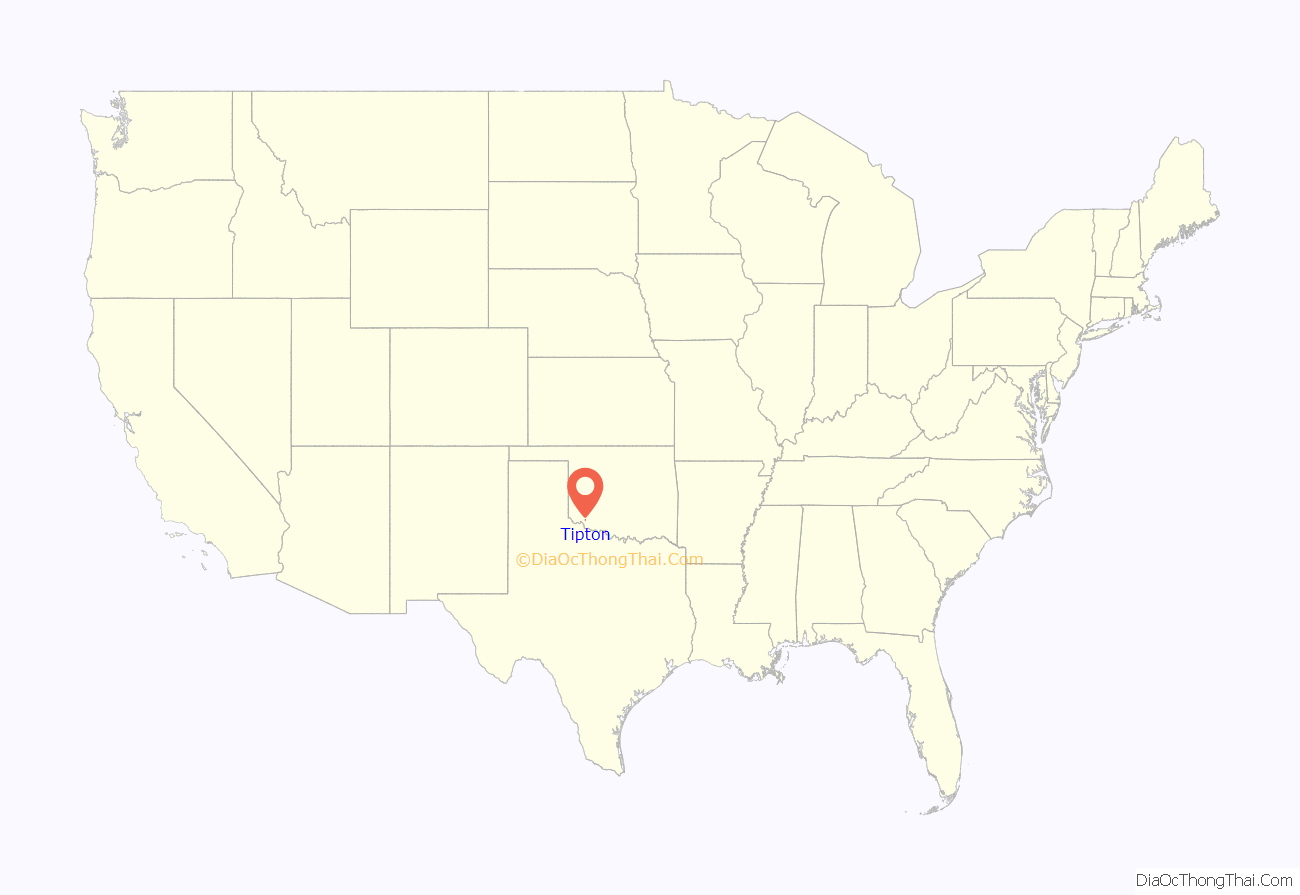
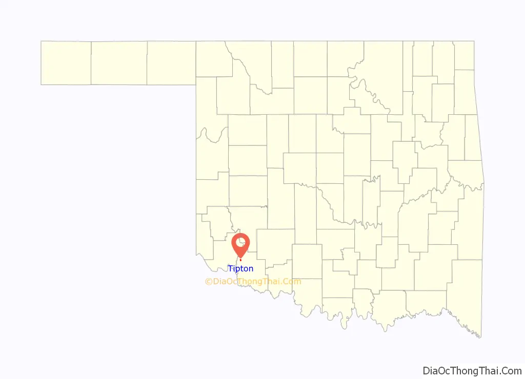
Tipton location map. Where is Tipton town?
History
The community was originally called Farmersville, but the name was changed to Stinson, honoring W. A. Stinson who owned the townsite. He sold the site to investors from Elk City. The town moved in 1909 to a location closer to the newly-laid Wichita Falls and Northwestern Railway (acquired by the Missouri, Kansas and Texas Railway in 1911). The townspeople voted to change the name again to Tipton, honoring John J. Tipton, conductor of the first train to pass through the area. A town plat was filed on July 29, 1909, and a post office was opened on September 18, 1909. The population was 441 in 1910.
During World War II, the U.S. government built a prisoner-of-war (POW) camp outside of town to house German soldiers.
On May 16, 2015, the town was nearly hit by a violent wedge tornado.
Although Tipton lies in a hot, dry area, the soil of the area around the town is rich and, with the coming of irrigation, proved quite suited to growing cotton. The town economy has been based on serving the local agricultural industry. The population grew until it hit a peak in 1940, then dropped until 1960, when it dipped to 1117. It rose again to an all-time peak of 1475 in 1980, and has since fallen backward again.
Tipton Road Map
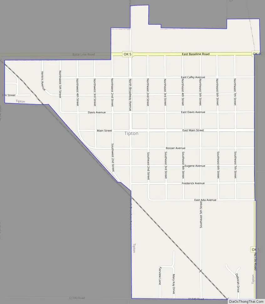
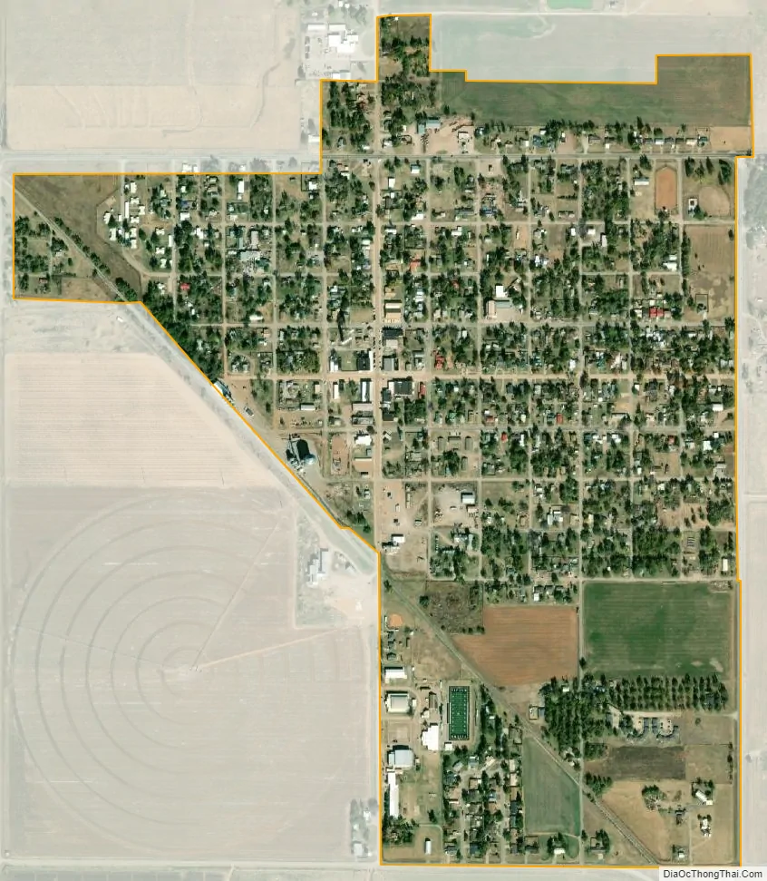
Tipton city Satellite Map
Geography
Tipton is located at 34°30′12″N 99°8′21″W / 34.50333°N 99.13917°W / 34.50333; -99.13917 (34.503358, -99.139064).
According to the United States Census Bureau, the town has a total area of 0.6 square miles (1.6 km), all land.
Tipton lies on the northern portion of the Tillman Terrace Aquifer, an alluvial aquifer in western Tillman County, associated with the southern extent of the North Fork of the Red River. The farmland surrounding Tipton is noted for high-quality soils. “Tipton loam” is considered to be among the most ideal soils in the United States. Much of the farmland is devoted to irrigated cotton. Other crops include alfalfa, silage corn, and wheat. Truck crops were grown in this area until the 1950s and have made a recent comeback.
On June 27, 1994, Tipton tied the record for the hottest temperature ever recorded for Oklahoma, at 120 °F (49 °C).
See also
Map of Oklahoma State and its subdivision:- Adair
- Alfalfa
- Atoka
- Beaver
- Beckham
- Blaine
- Bryan
- Caddo
- Canadian
- Carter
- Cherokee
- Choctaw
- Cimarron
- Cleveland
- Coal
- Comanche
- Cotton
- Craig
- Creek
- Custer
- Delaware
- Dewey
- Ellis
- Garfield
- Garvin
- Grady
- Grant
- Greer
- Harmon
- Harper
- Haskell
- Hughes
- Jackson
- Jefferson
- Johnston
- Kay
- Kingfisher
- Kiowa
- Latimer
- Le Flore
- Lincoln
- Logan
- Love
- Major
- Marshall
- Mayes
- McClain
- McCurtain
- McIntosh
- Murray
- Muskogee
- Noble
- Nowata
- Okfuskee
- Oklahoma
- Okmulgee
- Osage
- Ottawa
- Pawnee
- Payne
- Pittsburg
- Pontotoc
- Pottawatomie
- Pushmataha
- Roger Mills
- Rogers
- Seminole
- Sequoyah
- Stephens
- Texas
- Tillman
- Tulsa
- Wagoner
- Washington
- Washita
- Woods
- Woodward
- Alabama
- Alaska
- Arizona
- Arkansas
- California
- Colorado
- Connecticut
- Delaware
- District of Columbia
- Florida
- Georgia
- Hawaii
- Idaho
- Illinois
- Indiana
- Iowa
- Kansas
- Kentucky
- Louisiana
- Maine
- Maryland
- Massachusetts
- Michigan
- Minnesota
- Mississippi
- Missouri
- Montana
- Nebraska
- Nevada
- New Hampshire
- New Jersey
- New Mexico
- New York
- North Carolina
- North Dakota
- Ohio
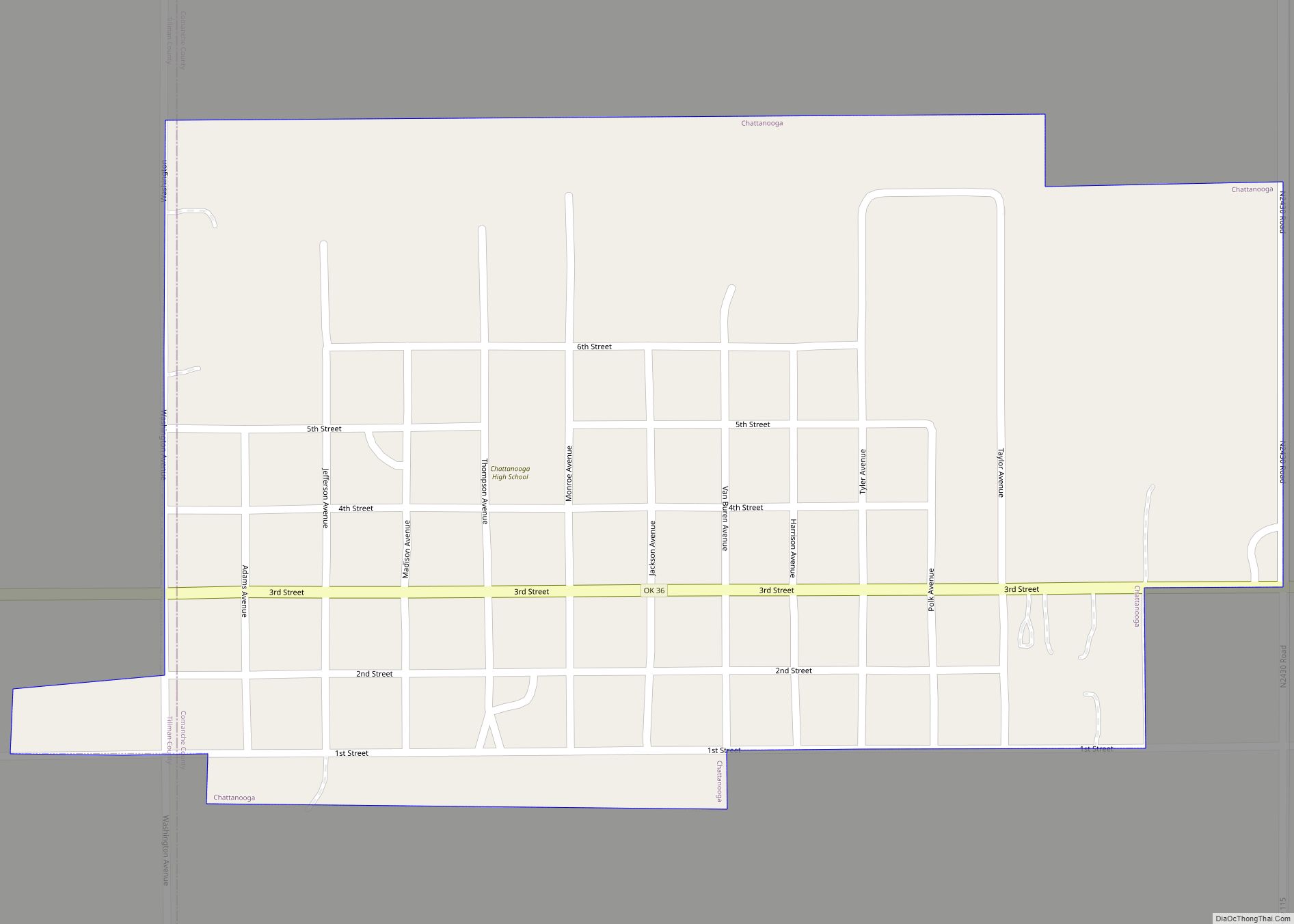
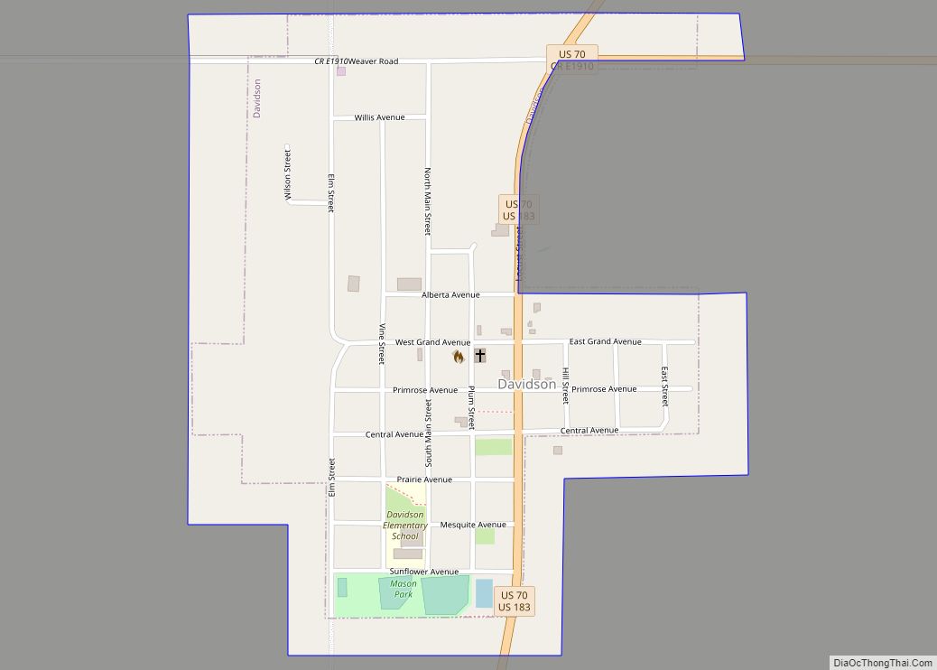
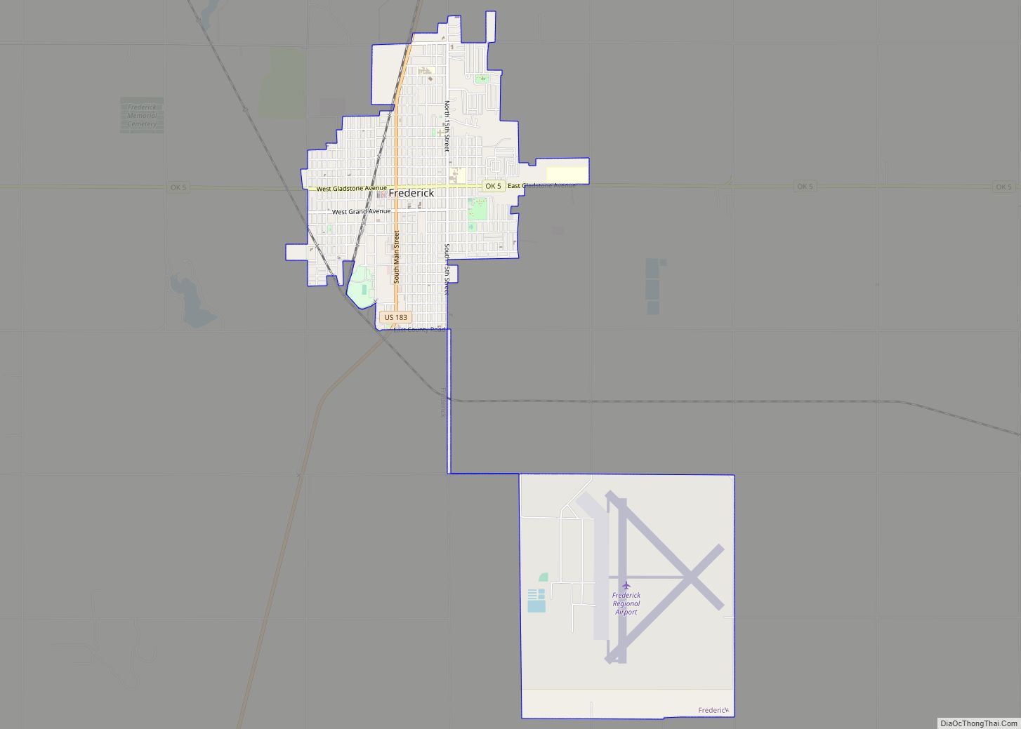
- Oklahoma
- Oregon
- Pennsylvania
- Rhode Island
- South Carolina
- South Dakota
- Tennessee
- Texas
- Utah
- Vermont
- Virginia
- Washington
- West Virginia
- Wisconsin
- Wyoming