Warr Acres is a city in Oklahoma County, Oklahoma, United States, and a part of the Oklahoma City metropolitan area. It was established after World War II by C.B. Warr, a dynamic businessman, builder, and commercial developer. The population was 10,452 at the 2020 census, a 4.1% increase from 2010.
The city lies within the Putnam City School District.
| Name: | Warr Acres city |
|---|---|
| LSAD Code: | 25 |
| LSAD Description: | city (suffix) |
| State: | Oklahoma |
| County: | Oklahoma County |
| Elevation: | 1,309 ft (399 m) |
| Total Area: | 2.84 sq mi (7.35 km²) |
| Land Area: | 2.80 sq mi (7.26 km²) |
| Water Area: | 0.03 sq mi (0.09 km²) |
| Total Population: | 10,452 |
| Population Density: | 3,728.86/sq mi (1,439.86/km²) |
| ZIP code: | 73122, 73123, 73132 |
| Area code: | 405 |
| FIPS code: | 4078500 |
| GNISfeature ID: | 1099375 |
| Website: | www.warracres-ok.gov |
Online Interactive Map
Click on ![]() to view map in "full screen" mode.
to view map in "full screen" mode.
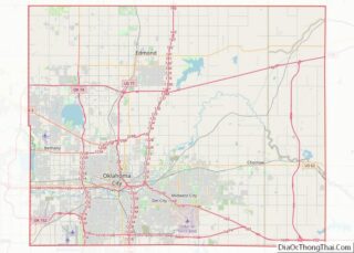
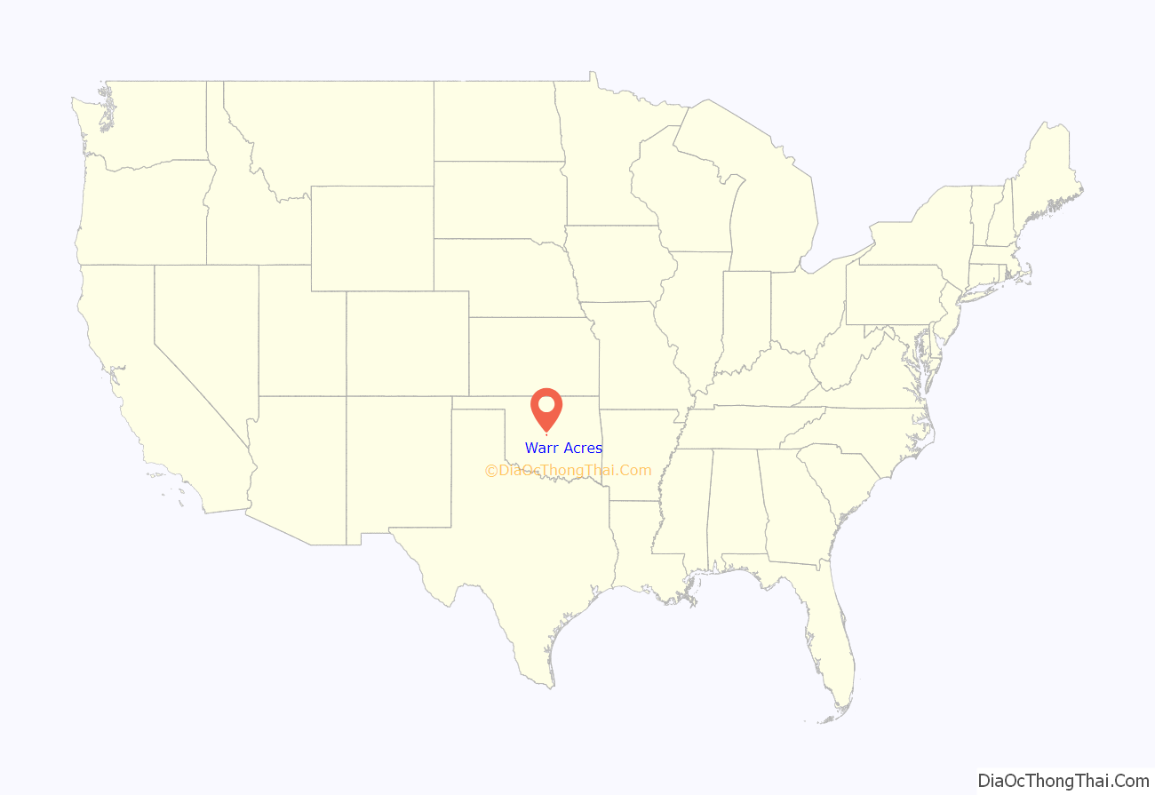
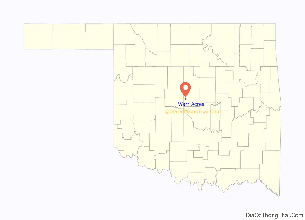
Warr Acres location map. Where is Warr Acres city?
History
The Warr Acres housing addition and Warr Acres Second Addition was developed in 1937 by Clyde B. Warr. An addition that would later form part of the city of Warr Acres, Putnam City was developed by state lawmaker Israel Putnam in 1909.
The city formed when the residents of 11 additions, including Putnam City, petitioned to incorporate in February 1948. The city of Bethany filed suit, but lost in an Oklahoma Supreme Court decision.
Shopping districts appeared along MacArthur Avenue in the 1960s and 1970s. By 1979, the town had grown to three square miles after annexing several residential developments.
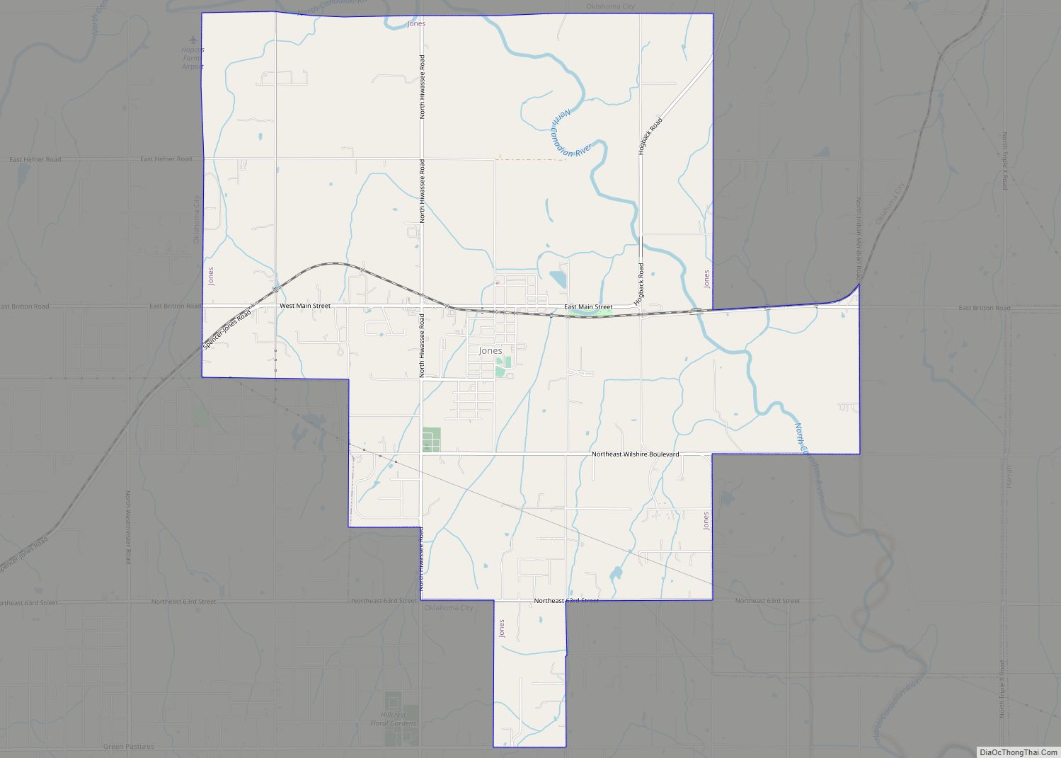
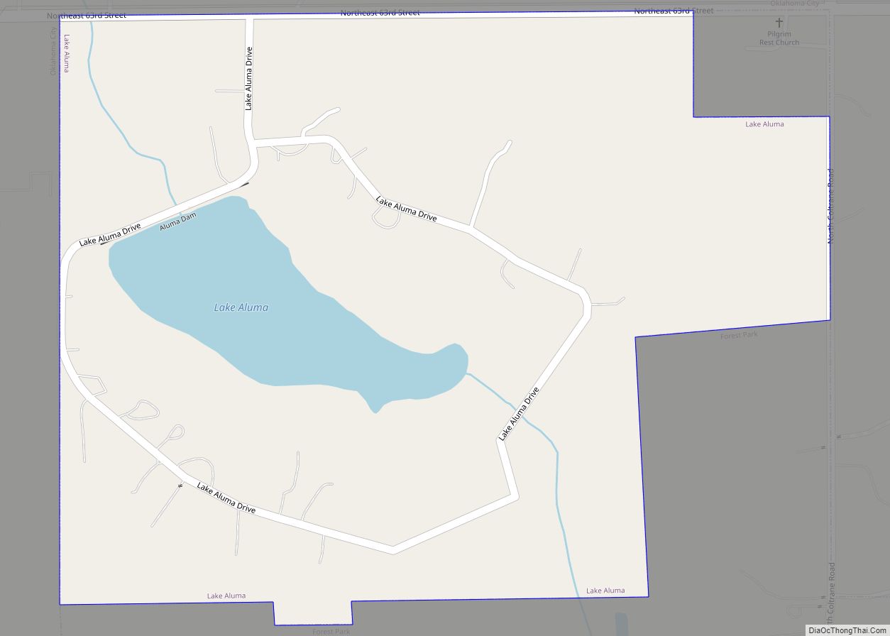
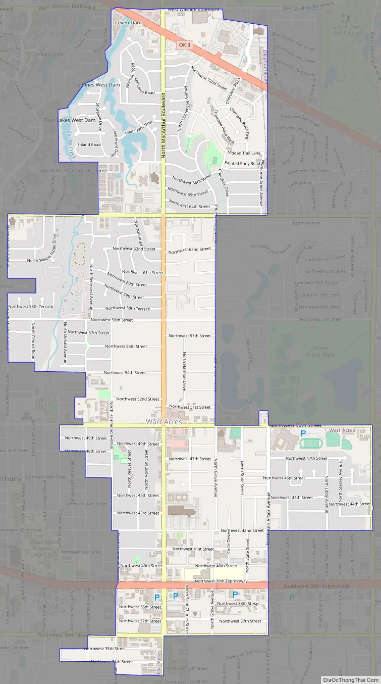
Warr Acres Road Map
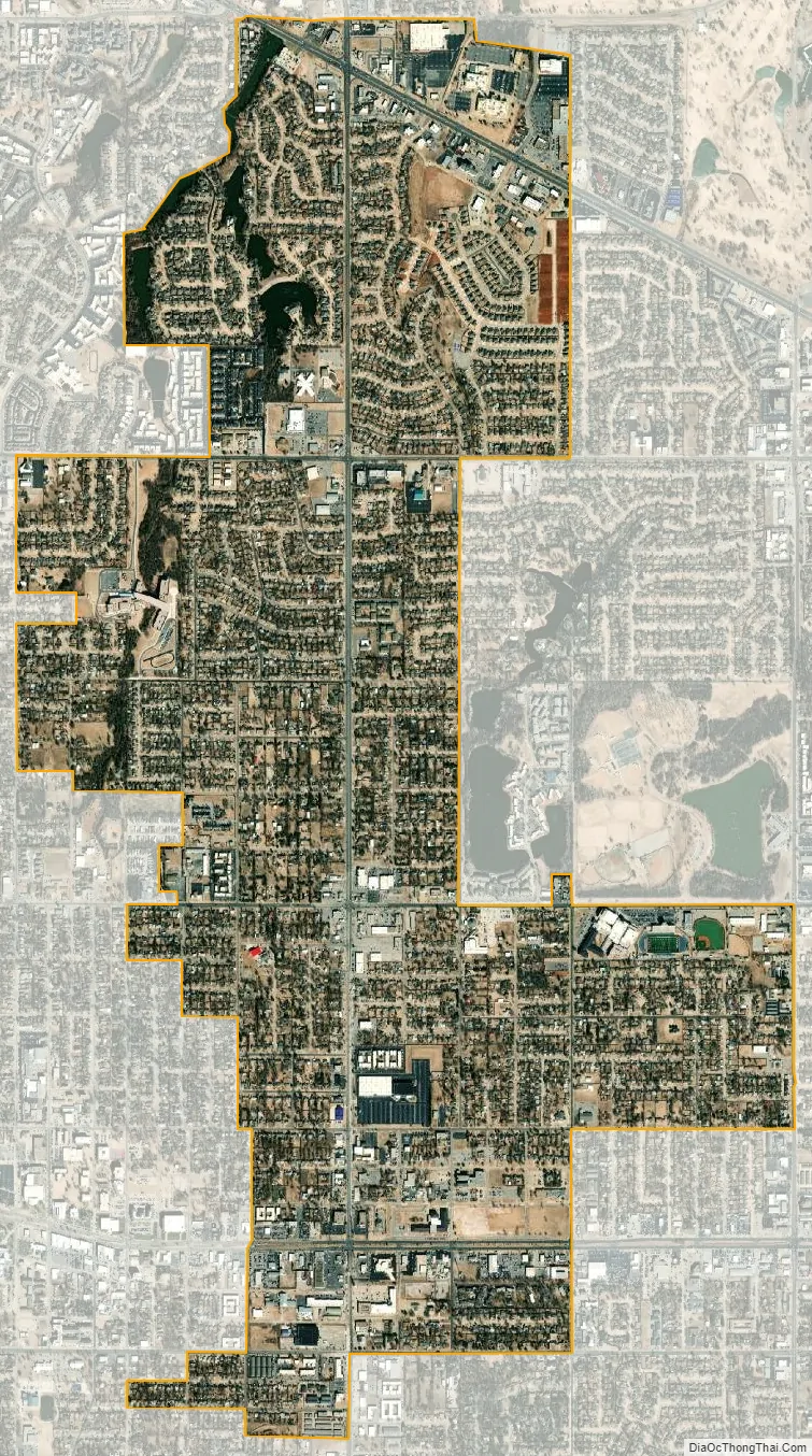
Warr Acres city Satellite Map
Geography
Warr Acres is a northwest suburb of Oklahoma City. According to the United States Census Bureau, the city has a total area of 2.8 square miles (7.3 km) centered along N MacArthur Boulevard, of which 2.8 square miles (7.3 km) is land and 0.04 square miles (0.10 km) (1.06%) is water. The city lies in the Sandstone Hills region of Oklahoma, known for hills of 250 to 400 feet (120 m) and forests of blackjack oak and post oak.
Climate
Warr Acres has a humid subtropical climate, with variations in weather daily and seasonally, except during summer, which is consistently hot and humid. Central Oklahoma is subject to droughts and heavy rainfall leading to flash flooding and flooding. Consistent winds help cool the summers and can lead to winter ice storms. Warr Acres is in the center of Tornado Alley and is prone to frequent and severe tornadoes. The Oklahoma City metropolitan area is one of the most tornado-prone major cities in the world. More than 150 tornadoes have struck within the city limits since 1890, including eight rated F4/EF4 and one rated F5.
See also
Map of Oklahoma State and its subdivision:- Adair
- Alfalfa
- Atoka
- Beaver
- Beckham
- Blaine
- Bryan
- Caddo
- Canadian
- Carter
- Cherokee
- Choctaw
- Cimarron
- Cleveland
- Coal
- Comanche
- Cotton
- Craig
- Creek
- Custer
- Delaware
- Dewey
- Ellis
- Garfield
- Garvin
- Grady
- Grant
- Greer
- Harmon
- Harper
- Haskell
- Hughes
- Jackson
- Jefferson
- Johnston
- Kay
- Kingfisher
- Kiowa
- Latimer
- Le Flore
- Lincoln
- Logan
- Love
- Major
- Marshall
- Mayes
- McClain
- McCurtain
- McIntosh
- Murray
- Muskogee
- Noble
- Nowata
- Okfuskee
- Oklahoma
- Okmulgee
- Osage
- Ottawa
- Pawnee
- Payne
- Pittsburg
- Pontotoc
- Pottawatomie
- Pushmataha
- Roger Mills
- Rogers
- Seminole
- Sequoyah
- Stephens
- Texas
- Tillman
- Tulsa
- Wagoner
- Washington
- Washita
- Woods
- Woodward
- Alabama
- Alaska
- Arizona
- Arkansas
- California
- Colorado
- Connecticut
- Delaware
- District of Columbia
- Florida
- Georgia
- Hawaii
- Idaho
- Illinois
- Indiana
- Iowa
- Kansas
- Kentucky
- Louisiana
- Maine
- Maryland
- Massachusetts
- Michigan
- Minnesota
- Mississippi
- Missouri
- Montana
- Nebraska
- Nevada
- New Hampshire
- New Jersey
- New Mexico
- New York
- North Carolina
- North Dakota
- Ohio
- Oklahoma
- Oregon
- Pennsylvania
- Rhode Island
- South Carolina
- South Dakota
- Tennessee
- Texas
- Utah
- Vermont
- Virginia
- Washington
- West Virginia
- Wisconsin
- Wyoming