Woodlawn Park is a town in Oklahoma County, Oklahoma, United States, and a part of the Oklahoma City Metropolitan Area. The population was 161 at the 2000 census.
| Name: | Woodlawn Park town |
|---|---|
| LSAD Code: | 43 |
| LSAD Description: | town (suffix) |
| State: | Oklahoma |
| County: | Oklahoma County |
| Elevation: | 1,289 ft (393 m) |
| Total Area: | 0.12 sq mi (0.32 km²) |
| Land Area: | 0.12 sq mi (0.32 km²) |
| Water Area: | 0.00 sq mi (0.00 km²) |
| Total Population: | 160 |
| Population Density: | 1,290.32/sq mi (499.06/km²) |
| FIPS code: | 4082000 |
| GNISfeature ID: | 1099992 |
Online Interactive Map
Click on ![]() to view map in "full screen" mode.
to view map in "full screen" mode.
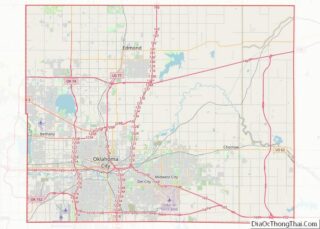
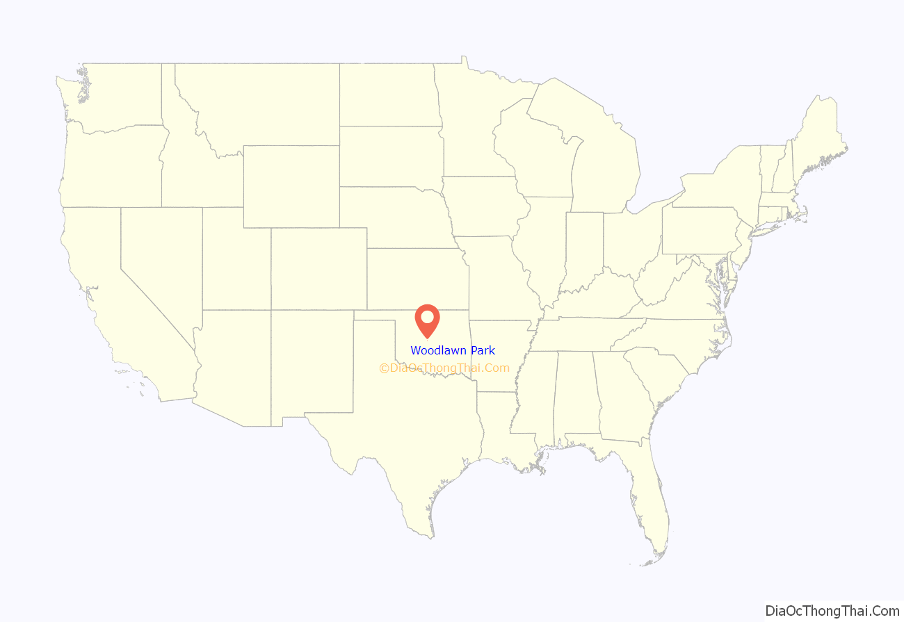
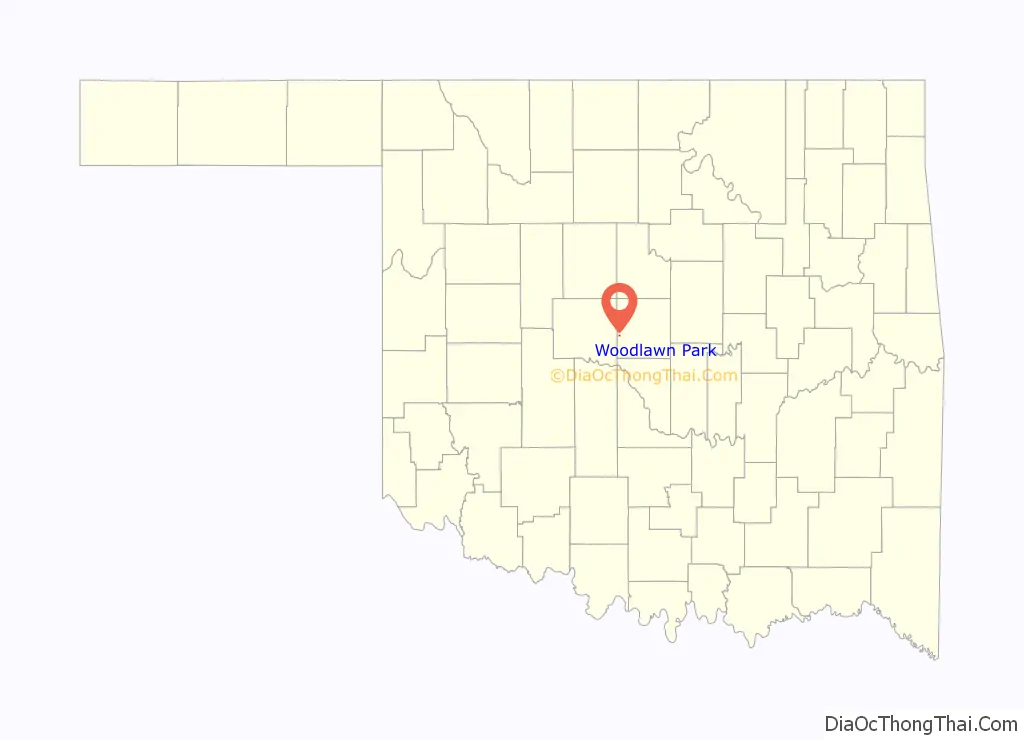
Woodlawn Park location map. Where is Woodlawn Park town?
History
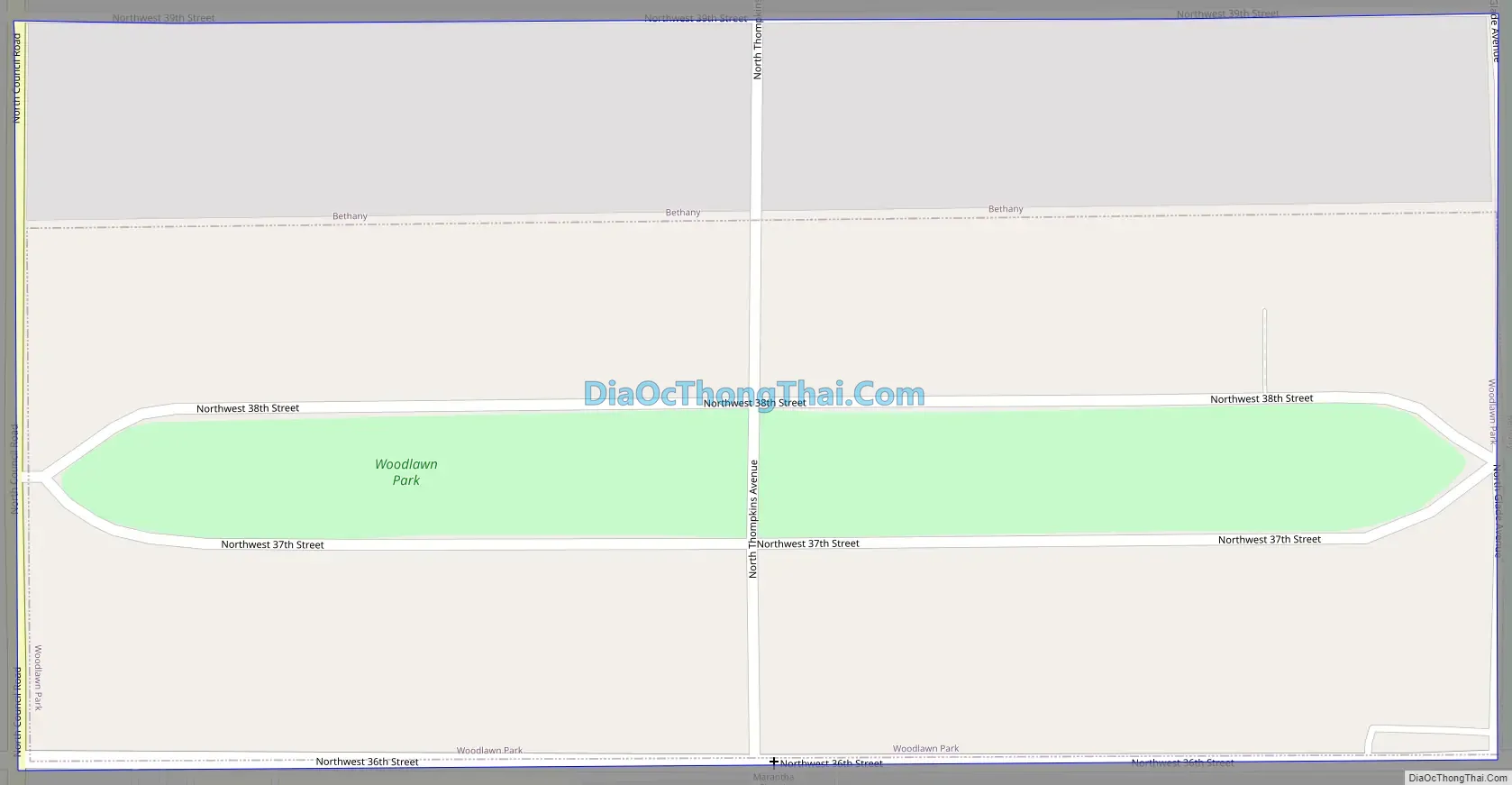
An incorporated town in Oklahoma County, Woodlawn Park is one of several urban islands surrounded by other towns of the Oklahoma City metropolitan area. Woodlawn Park lies within the city of Bethany, which is itself surrounded by Oklahoma City. Originally the area was the farm of Frank Levi Braniger, who acquired land in Council Grove Township with, or soon after, the Land Run of 1889. In 1923 one of Braniger’s sons subdivided a heavily wooded part of the property into residential lots. This became Woodlawn Park, a rectangle of .128 square miles (approximately eighty-one acres), measuring one-half mile east–west and one-quarter mile north–south. It is bounded by Council Road on the west, Glade Avenue on the east, NW 36th Street on the south, and NW 39th Street on the north. Within the boundaries, between NW 37th and NW 38th streets lies a long park, the center of the town. A few homes were constructed in the late 1920s, but most of the development occurred in the late 1940s and through the 1950s.
Incorporation was accomplished in July 1952 as Bethany began to envelop the neighborhood. The 1960 census recorded 129 inhabitants. Woodlawn Park’s large lots were gradually sold, and housing construction continued into the 1990s. After peaking at 220 residents in 1970, the community’s population declined to 161 in 2000. The town supports no commercial development. A board of trustees is elected, but city services are provided by Bethany and Oklahoma County. Most residents are employed in management and the professions, and all work in the surrounding metropolitan area. http://digital.library.okstate.edu/encyclopedia/entries/W/WO012.html
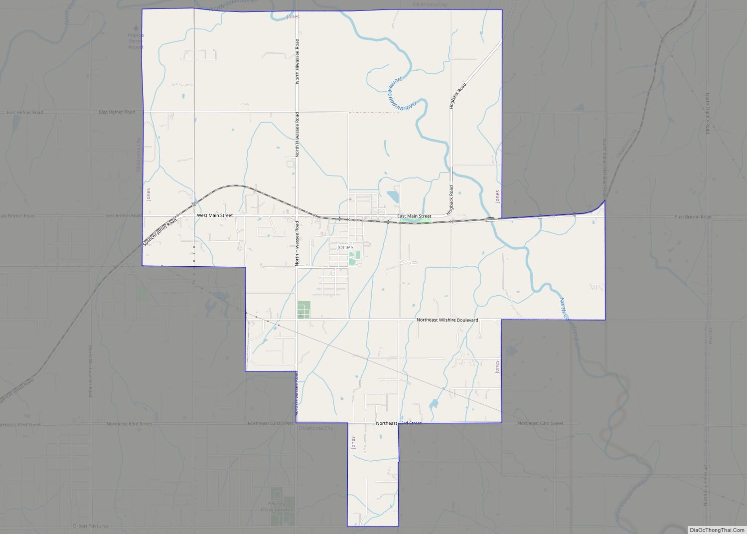
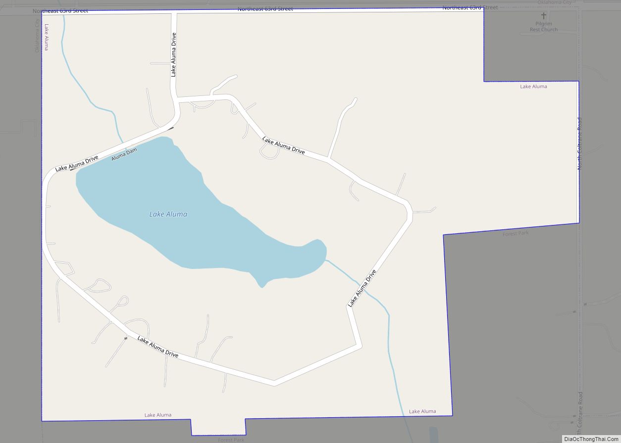
Woodlawn Park Road Map
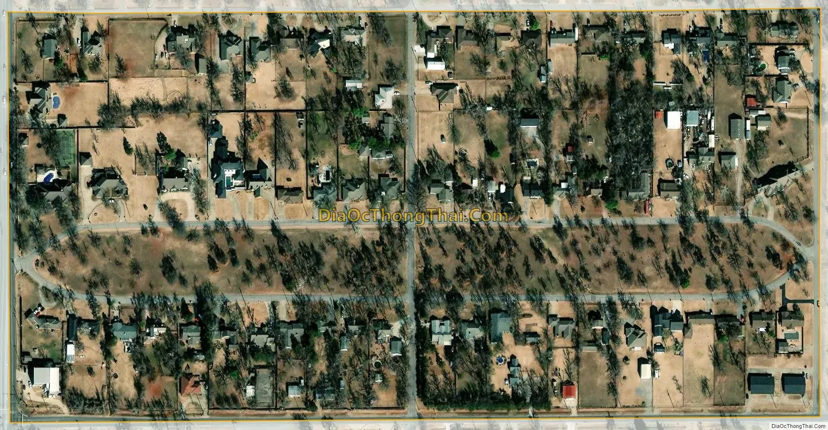
Woodlawn Park city Satellite Map
Geography
Woodlawn Park is located at 35°30′33″N 97°38′52″W / 35.509156°N 97.647718°W / 35.509156; -97.647718.
According to the United States Census Bureau, the town has a total area of 0.1 square miles (0.26 km), all land.
See also
Map of Oklahoma State and its subdivision:- Adair
- Alfalfa
- Atoka
- Beaver
- Beckham
- Blaine
- Bryan
- Caddo
- Canadian
- Carter
- Cherokee
- Choctaw
- Cimarron
- Cleveland
- Coal
- Comanche
- Cotton
- Craig
- Creek
- Custer
- Delaware
- Dewey
- Ellis
- Garfield
- Garvin
- Grady
- Grant
- Greer
- Harmon
- Harper
- Haskell
- Hughes
- Jackson
- Jefferson
- Johnston
- Kay
- Kingfisher
- Kiowa
- Latimer
- Le Flore
- Lincoln
- Logan
- Love
- Major
- Marshall
- Mayes
- McClain
- McCurtain
- McIntosh
- Murray
- Muskogee
- Noble
- Nowata
- Okfuskee
- Oklahoma
- Okmulgee
- Osage
- Ottawa
- Pawnee
- Payne
- Pittsburg
- Pontotoc
- Pottawatomie
- Pushmataha
- Roger Mills
- Rogers
- Seminole
- Sequoyah
- Stephens
- Texas
- Tillman
- Tulsa
- Wagoner
- Washington
- Washita
- Woods
- Woodward
- Alabama
- Alaska
- Arizona
- Arkansas
- California
- Colorado
- Connecticut
- Delaware
- District of Columbia
- Florida
- Georgia
- Hawaii
- Idaho
- Illinois
- Indiana
- Iowa
- Kansas
- Kentucky
- Louisiana
- Maine
- Maryland
- Massachusetts
- Michigan
- Minnesota
- Mississippi
- Missouri
- Montana
- Nebraska
- Nevada
- New Hampshire
- New Jersey
- New Mexico
- New York
- North Carolina
- North Dakota
- Ohio
- Oklahoma
- Oregon
- Pennsylvania
- Rhode Island
- South Carolina
- South Dakota
- Tennessee
- Texas
- Utah
- Vermont
- Virginia
- Washington
- West Virginia
- Wisconsin
- Wyoming