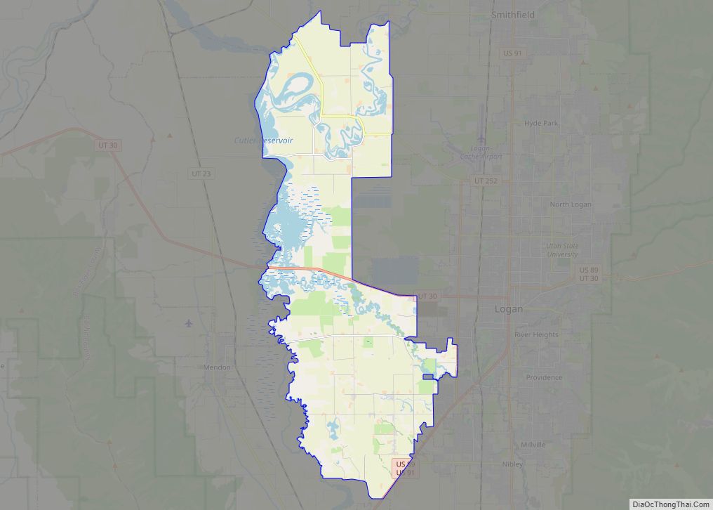
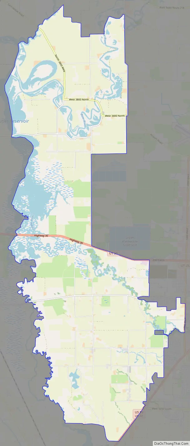
Benson is a census-designated place (CDP) in Cache County, Utah, United States. It is immediately south of Amalga, across State Route 218, and is west of the Logan-Cache Airport. The population was 1,485 at the 2010 census. It is included in the Logan, Utah-Idaho Metropolitan Statistical Area.
The Benson Elementary School is listed on the National Register of Historic Places.
| Name: | Benson CDP |
|---|---|
| LSAD Code: | 57 |
| LSAD Description: | CDP (suffix) |
| State: | Utah |
| County: | Cache County |
| Elevation: | 4,429 ft (1,350 m) |
| Total Area: | 33.4 sq mi (86.5 km²) |
| Land Area: | 30.4 sq mi (78.7 km²) |
| Water Area: | 3.0 sq mi (7.8 km²) |
| Total Population: | 1,485 |
| Population Density: | 49/sq mi (18.9/km²) |
| ZIP code: | 84335 |
| Area code: | 435 |
| FIPS code: | 4905050 |
| GNISfeature ID: | 1425433 |
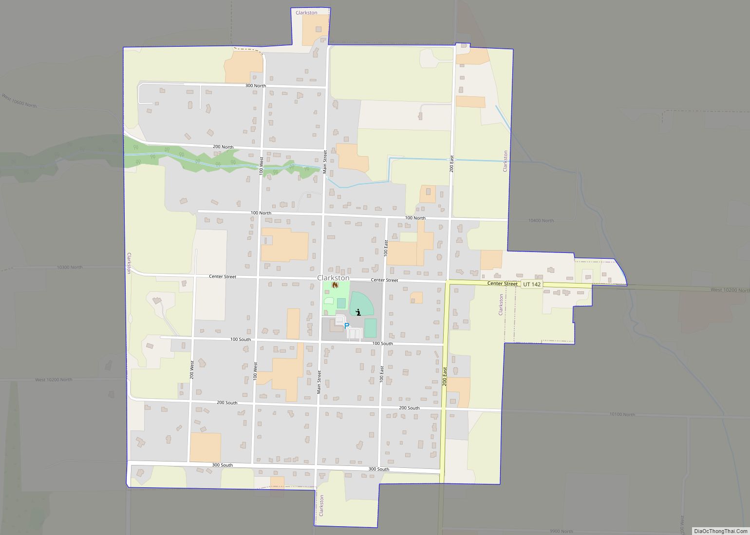
Online Interactive Map
Click on ![]() to view map in "full screen" mode.
to view map in "full screen" mode.
Benson location map. Where is Benson CDP?
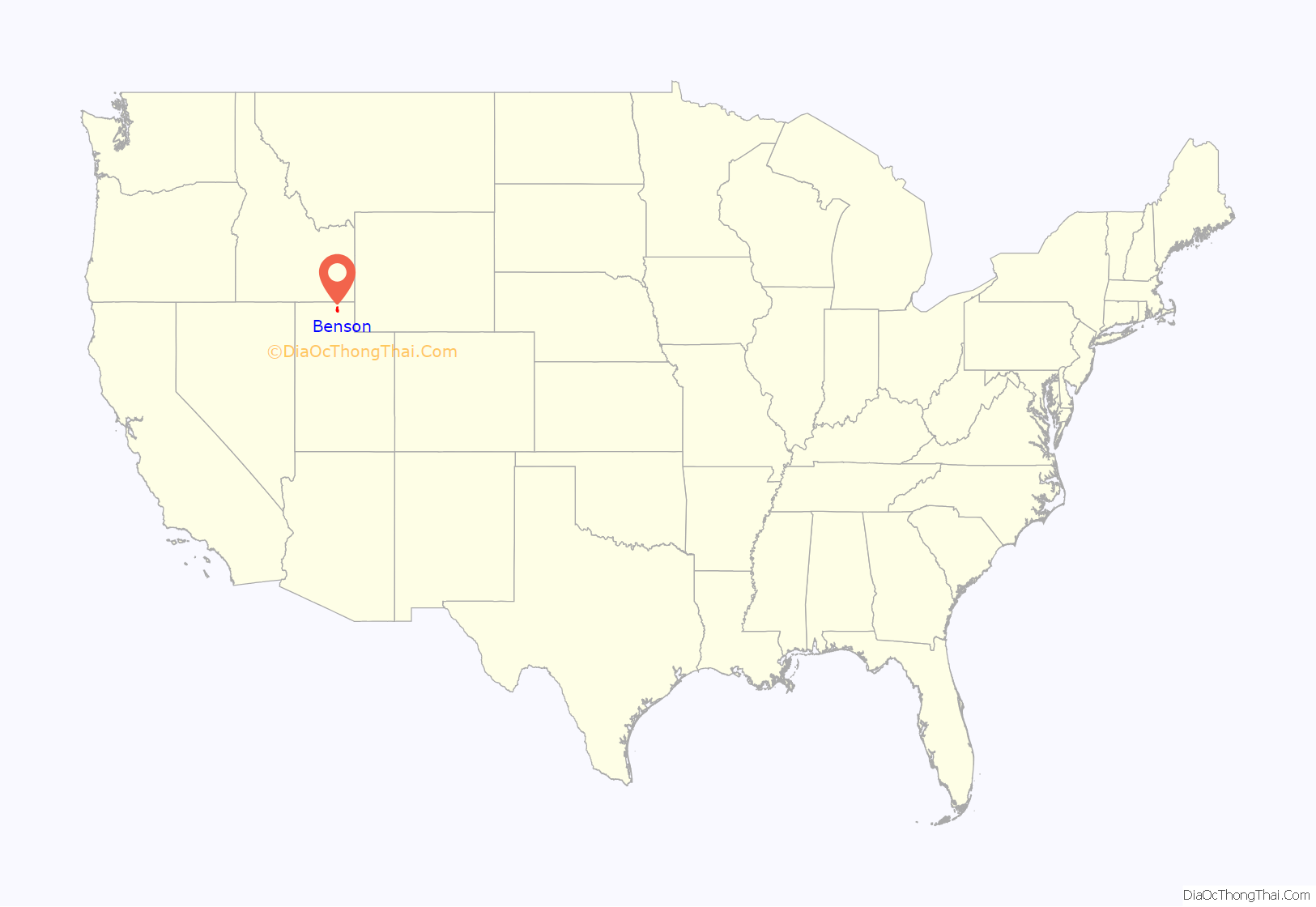
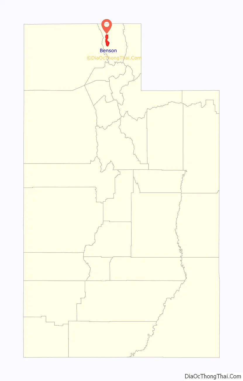
Benson Road Map
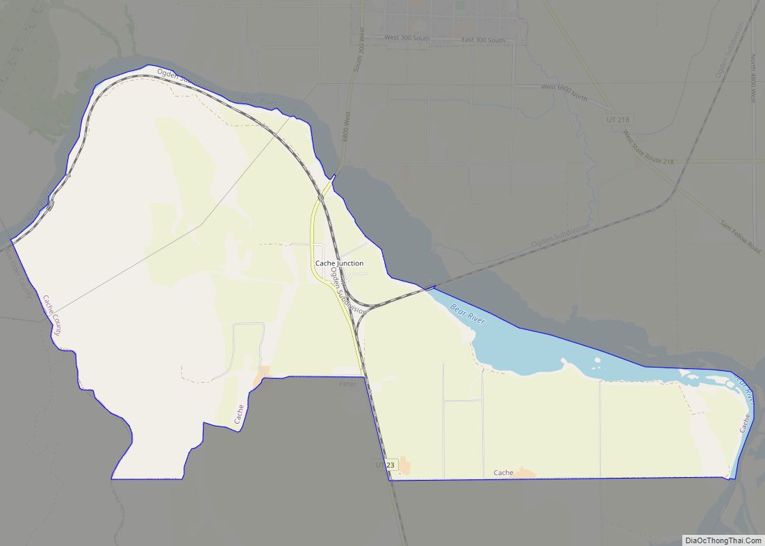
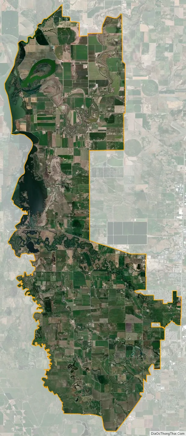
Benson city Satellite Map
Geography
According to the United States Census Bureau, the CDP has a total area of 33.4 square miles (86.5 km), of which 30.4 square miles (78.7 km) is land and 3.0 square miles (7.8 km), or 9.01%, is water. The water consists of the southern and eastern ends of Cutler Reservoir on the Little Bear and Bear rivers.
See also
Map of Utah State and its subdivision: Map of other states:- Alabama
- Alaska
- Arizona
- Arkansas
- California
- Colorado
- Connecticut
- Delaware
- District of Columbia
- Florida
- Georgia
- Hawaii
- Idaho
- Illinois
- Indiana
- Iowa
- Kansas
- Kentucky
- Louisiana
- Maine
- Maryland
- Massachusetts
- Michigan
- Minnesota
- Mississippi
- Missouri
- Montana
- Nebraska
- Nevada
- New Hampshire
- New Jersey
- New Mexico
- New York
- North Carolina
- North Dakota
- Ohio
- Oklahoma
- Oregon
- Pennsylvania
- Rhode Island
- South Carolina
- South Dakota
- Tennessee
- Texas
- Utah
- Vermont
- Virginia
- Washington
- West Virginia
- Wisconsin
- Wyoming