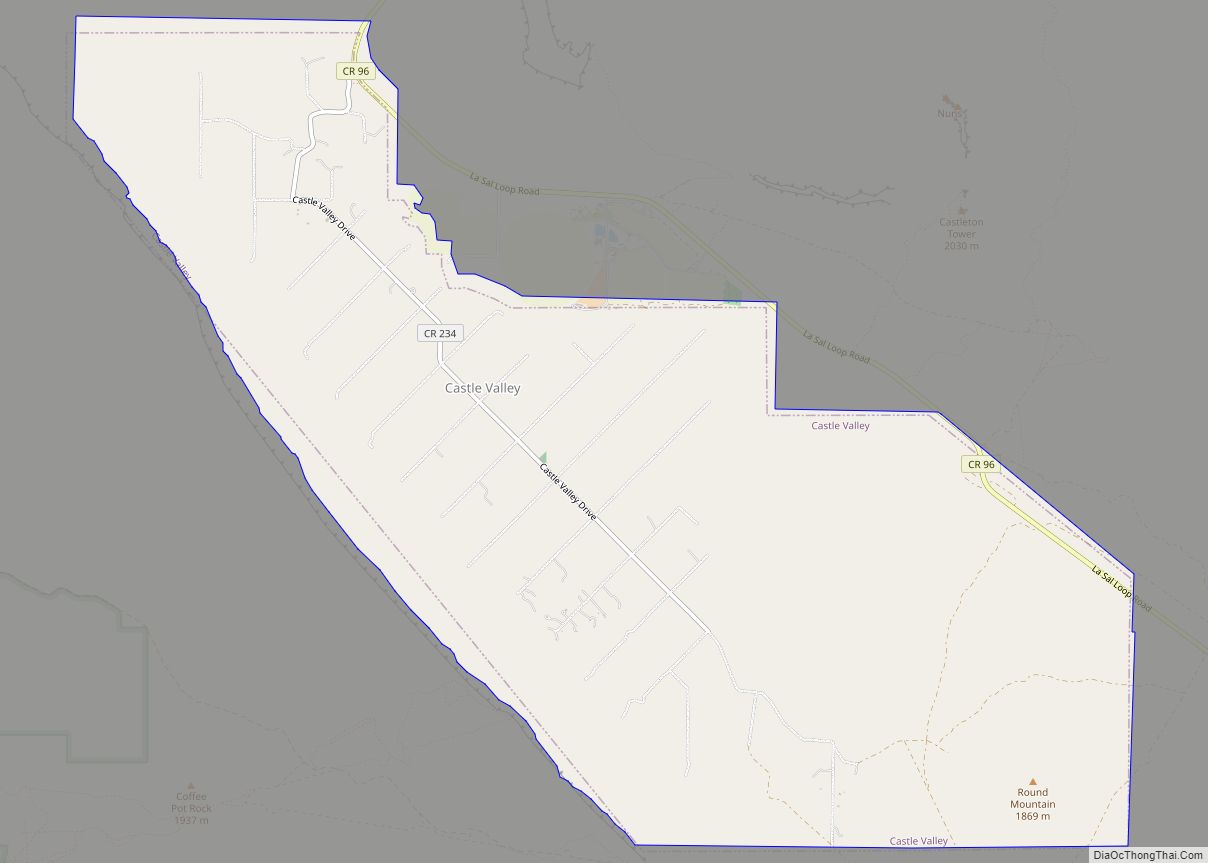
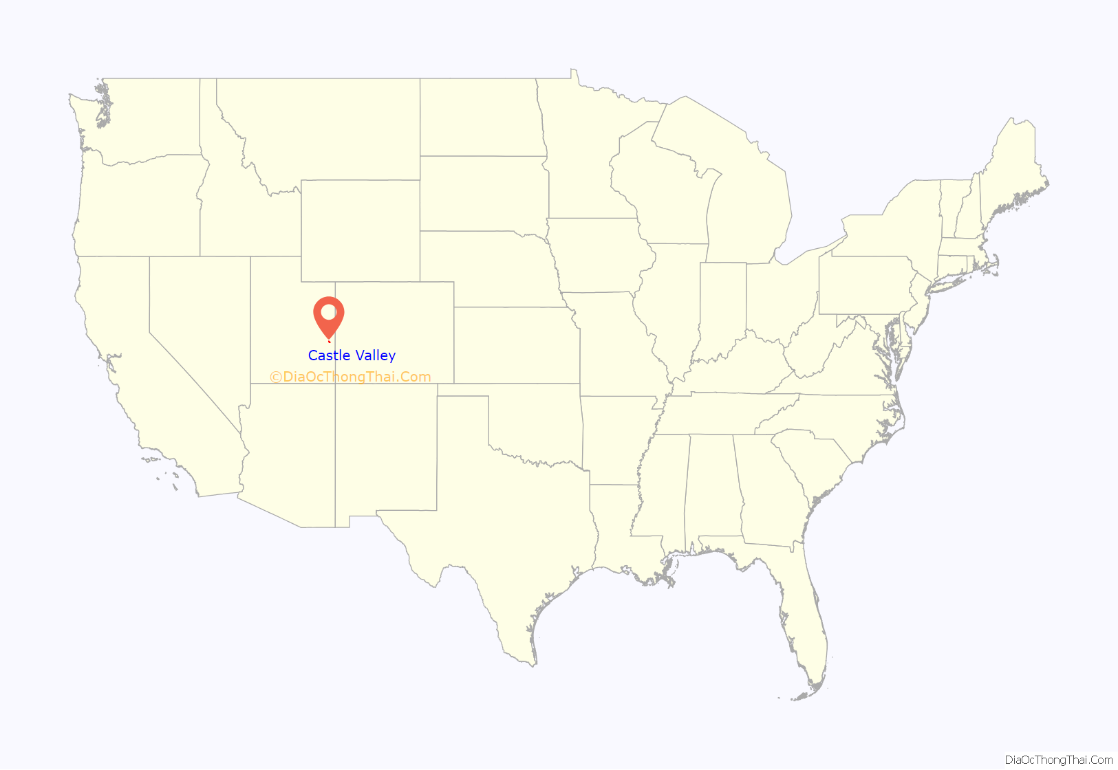
Castle Valley is a town in Grand County, Utah, United States. The population was 319 at the 2010 census. The town is approximately 16 miles northeast of Moab, near State Route 128.
The community was named for castle-like rock formations near the town site.
| Name: | Castle Valley town |
|---|---|
| LSAD Code: | 43 |
| LSAD Description: | town (suffix) |
| State: | Utah |
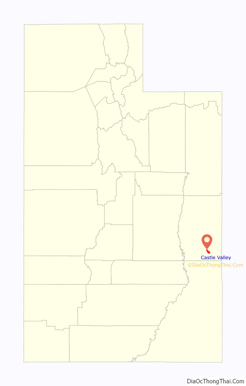
| County: | Grand County |
| Elevation: | 4,685 ft (1,428 m) |
| Total Area: | 9.28 sq mi (24.04 km²) |
| Land Area: | 9.28 sq mi (24.04 km²) |
| Water Area: | 0.00 sq mi (0.00 km²) |
| Total Population: | 319 |
| Population Density: | 37.70/sq mi (14.56/km²) |
| ZIP code: | 84532 |
| Area code: | 435 |
| FIPS code: | 4911000 |
| GNISfeature ID: | 1450284 |
| Website: | www.castlevalleyutah.com |
Online Interactive Map
Click on ![]() to view map in "full screen" mode.
to view map in "full screen" mode.
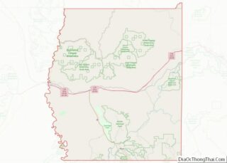
Castle Valley location map. Where is Castle Valley town?
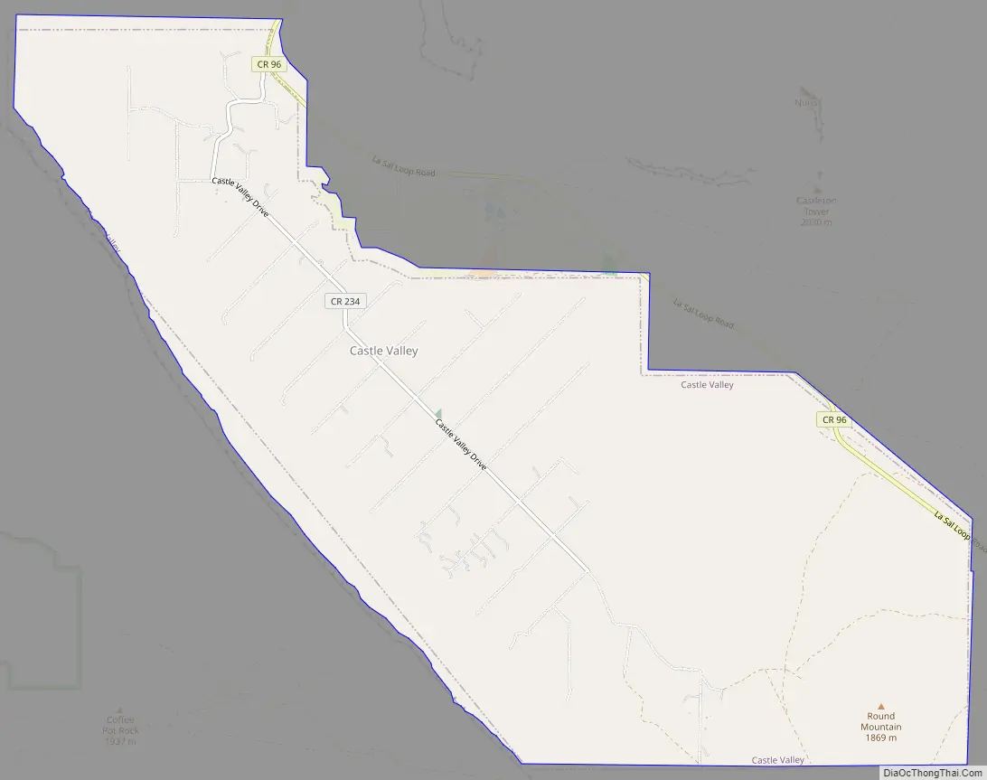
Castle Valley Road Map
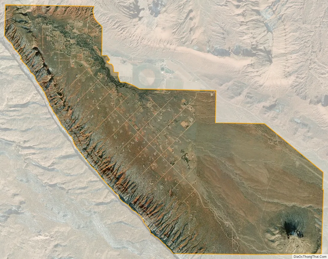
Castle Valley city Satellite Map
Geography
According to the United States Census Bureau, the town has a total area of 8.1 square miles (20.9 km), all land.
See also
Map of Utah State and its subdivision: Map of other states:- Alabama
- Alaska
- Arizona
- Arkansas
- California
- Colorado
- Connecticut
- Delaware
- District of Columbia
- Florida
- Georgia
- Hawaii
- Idaho
- Illinois
- Indiana
- Iowa
- Kansas
- Kentucky
- Louisiana
- Maine
- Maryland
- Massachusetts
- Michigan
- Minnesota
- Mississippi
- Missouri
- Montana
- Nebraska
- Nevada
- New Hampshire
- New Jersey
- New Mexico
- New York
- North Carolina
- North Dakota
- Ohio
- Oklahoma
- Oregon
- Pennsylvania
- Rhode Island
- South Carolina
- South Dakota
- Tennessee
- Texas
- Utah
- Vermont
- Virginia
- Washington
- West Virginia
- Wisconsin
- Wyoming