Charleston is a town in Wasatch County, Utah, United States. The population was 415 at the 2010 census.
The community was named after Charles Shelton, a first settler.
| Name: | Charleston town |
|---|---|
| LSAD Code: | 43 |
| LSAD Description: | town (suffix) |
| State: | Utah |
| County: | Wasatch County |
| Elevation: | 5,440 ft (1,658 m) |
| Total Area: | 3.07 sq mi (7.95 km²) |
| Land Area: | 2.86 sq mi (7.41 km²) |
| Water Area: | 0.21 sq mi (0.54 km²) |
| Total Population: | 415 |
| Population Density: | 170.10/sq mi (65.68/km²) |
| ZIP code: | 84032 |
| Area code: | 435 |
| FIPS code: | 4912420 |
| GNISfeature ID: | 1426539 |
| Website: | www.charlestonutah.org |
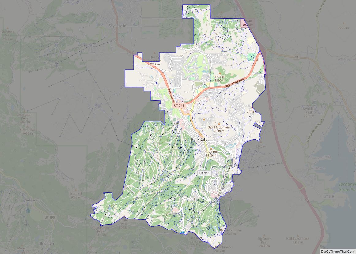
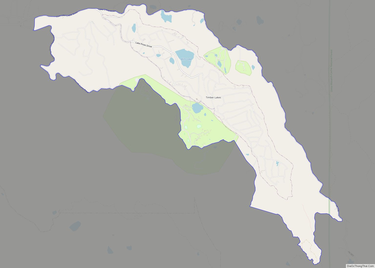
Online Interactive Map
Click on ![]() to view map in "full screen" mode.
to view map in "full screen" mode.
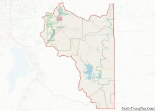
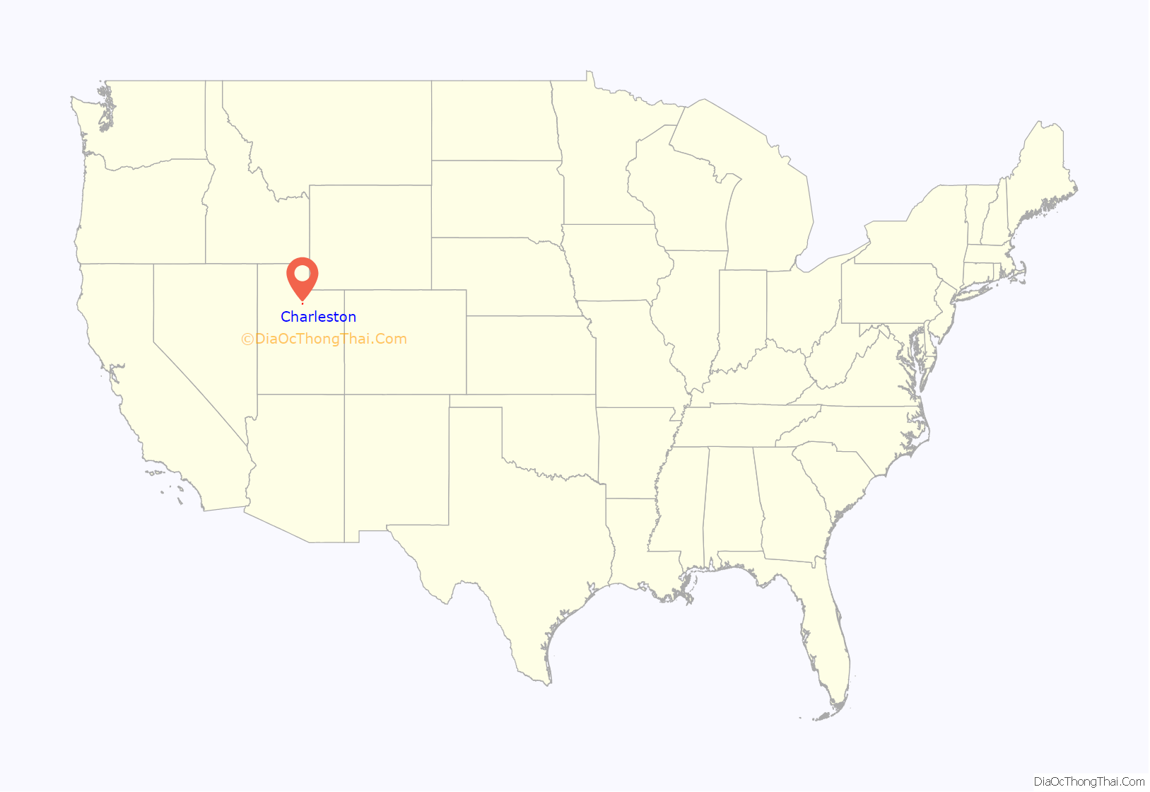
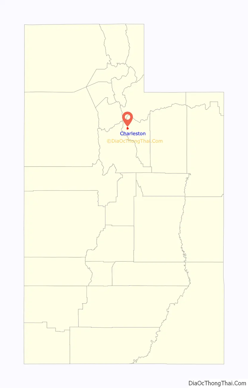
Charleston location map. Where is Charleston town?
History
In 1858, trapper Aaron Daniels moved to a place on the Provo River just north of where Charleston is today.
The first farmers put in crops at Charleston in 1859, and the first houses were built by George Noakes and William Manning late that year near Noakes springs. Manning and George Noakes were the only residents until 1863 when a few others moved in. In 1866, there were about a dozen families, and after that, the population began to grow even faster.
Noakes was the first Presiding elder in Charleston. Until 1877, the branch was part of the Heber Ward. The Charleston Ward was formed in July 1877, with Nymphus C. Murdock as bishop. The ward had 397 members in 1930, with 467 people living within the ward boundaries.
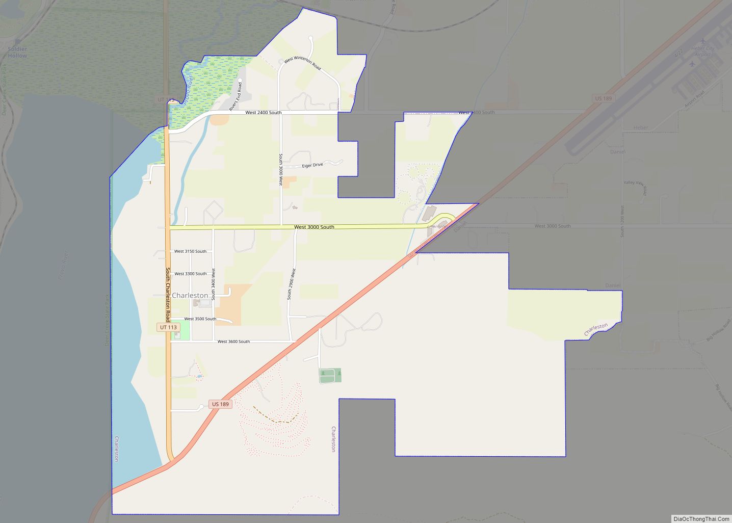
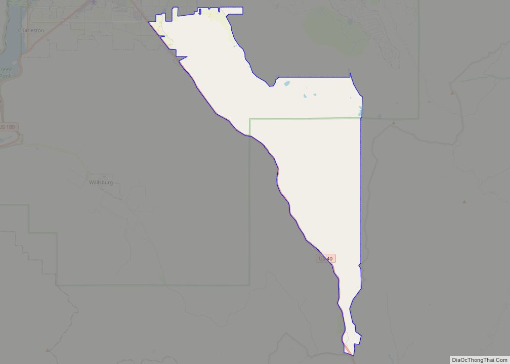
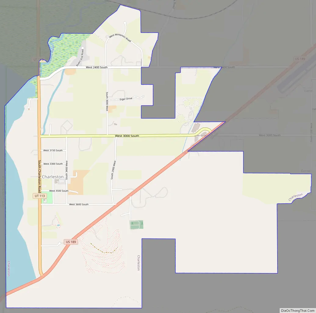
Charleston Road Map
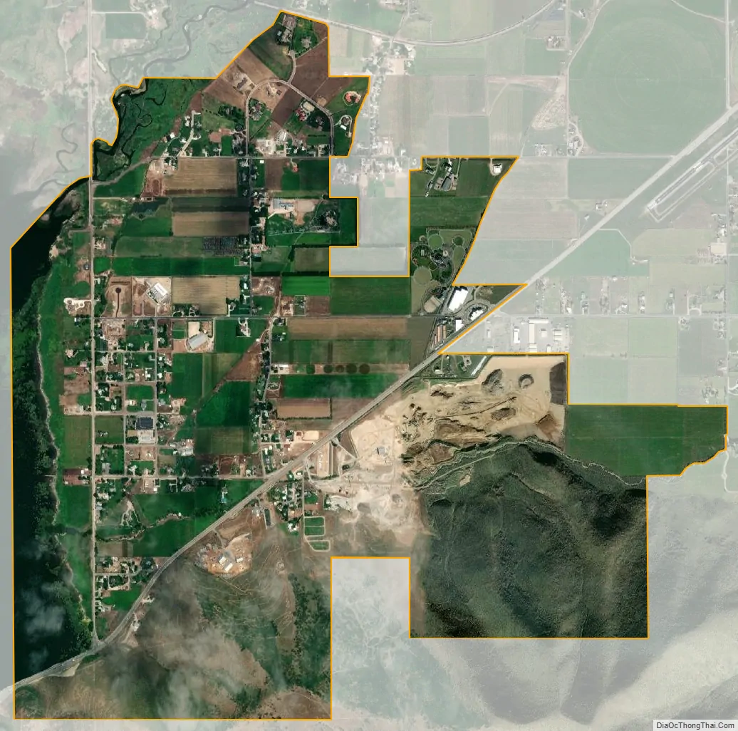
Charleston city Satellite Map
Geography
According to the United States Census Bureau, the town has a total area of 1.9 square miles (4.9 km), of which 1.7 square miles (4.4 km) is land, and 0.2 square miles (0.52 km), or 10.16%, is water.
See also
Map of Utah State and its subdivision: Map of other states:- Alabama
- Alaska
- Arizona
- Arkansas
- California
- Colorado
- Connecticut
- Delaware
- District of Columbia
- Florida
- Georgia
- Hawaii
- Idaho
- Illinois
- Indiana
- Iowa
- Kansas
- Kentucky
- Louisiana
- Maine
- Maryland
- Massachusetts
- Michigan
- Minnesota
- Mississippi
- Missouri
- Montana
- Nebraska
- Nevada
- New Hampshire
- New Jersey
- New Mexico
- New York
- North Carolina
- North Dakota
- Ohio
- Oklahoma
- Oregon
- Pennsylvania
- Rhode Island
- South Carolina
- South Dakota
- Tennessee
- Texas
- Utah
- Vermont
- Virginia
- Washington
- West Virginia
- Wisconsin
- Wyoming