Clarkston is a town in Cache County, Utah, United States. The population was 666 at the 2010 census. It is included in the Logan, Utah-Idaho Metropolitan Statistical Area. The community celebration is held in June each year and is known as The Pony Express Days.
Clarkston is noted for being the last home of Martin Harris, one of the Three Witnesses of the Book of Mormon. He is buried in Clarkston, and every other year a pageant commemorates his life. The pageant was discontinued in 2018.
Many of it residents enjoy the local wildlife which includes mule deer, sharp-tailed grouse, and pheasant.
| Name: | Clarkston town |
|---|---|
| LSAD Code: | 43 |
| LSAD Description: | town (suffix) |
| State: | Utah |
| County: | Cache County |
| Founded: | 1864 |
| Elevation: | 4,879 ft (1,487 m) |
| Total Area: | 0.93 sq mi (2.40 km²) |
| Land Area: | 0.93 sq mi (2.40 km²) |
| Water Area: | 0.00 sq mi (0.00 km²) |
| Total Population: | 666 |
| Population Density: | 797.41/sq mi (307.98/km²) |
| ZIP code: | 84305 |
| Area code: | 435 |
| FIPS code: | 4913190 |
| GNISfeature ID: | 1426671 |
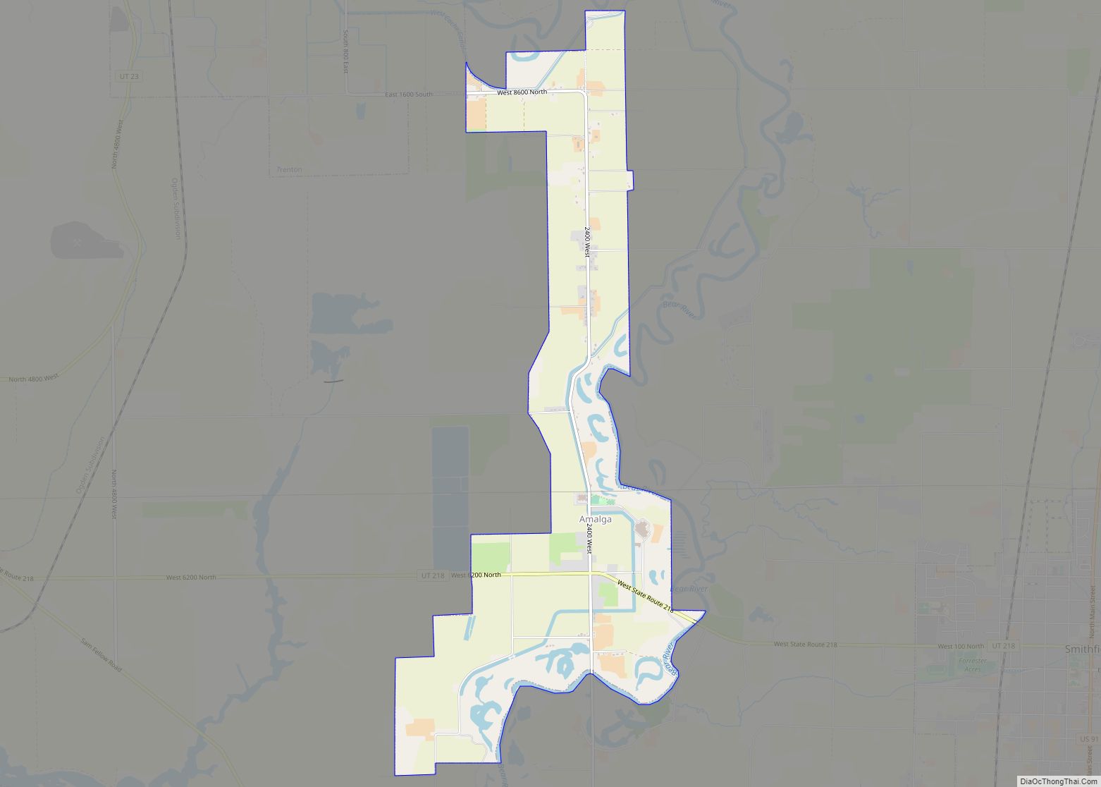
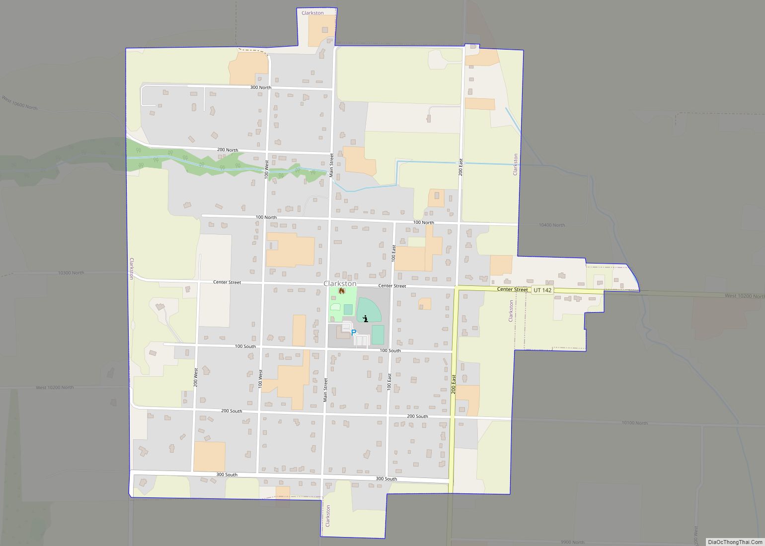
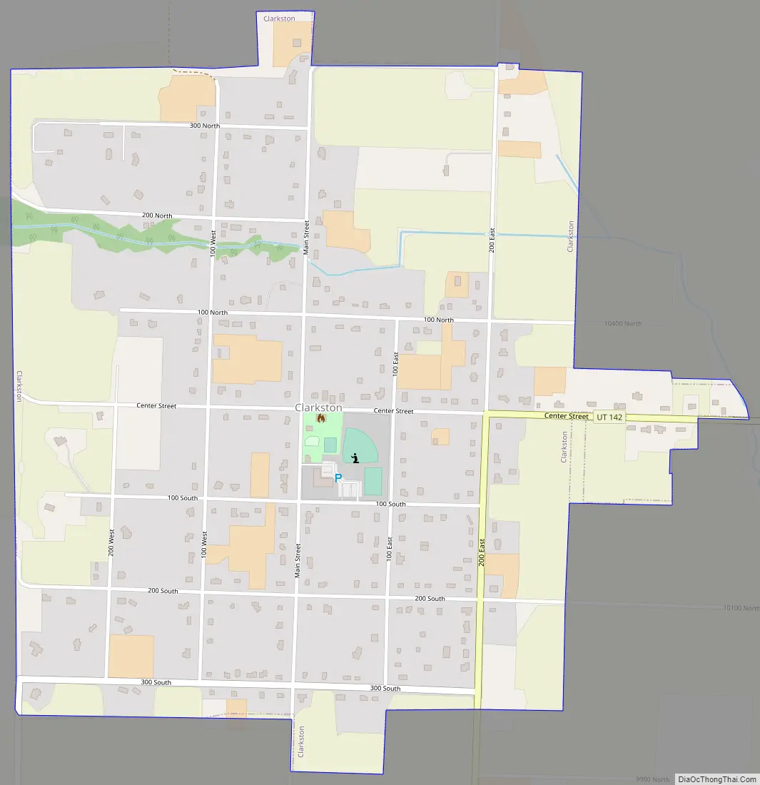
Online Interactive Map
Click on ![]() to view map in "full screen" mode.
to view map in "full screen" mode.
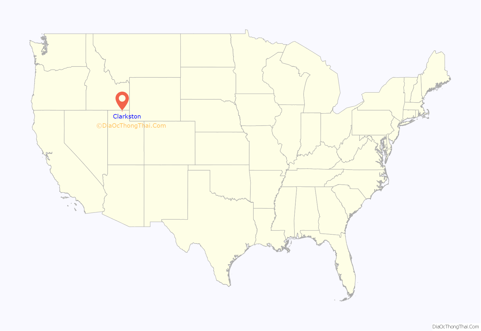
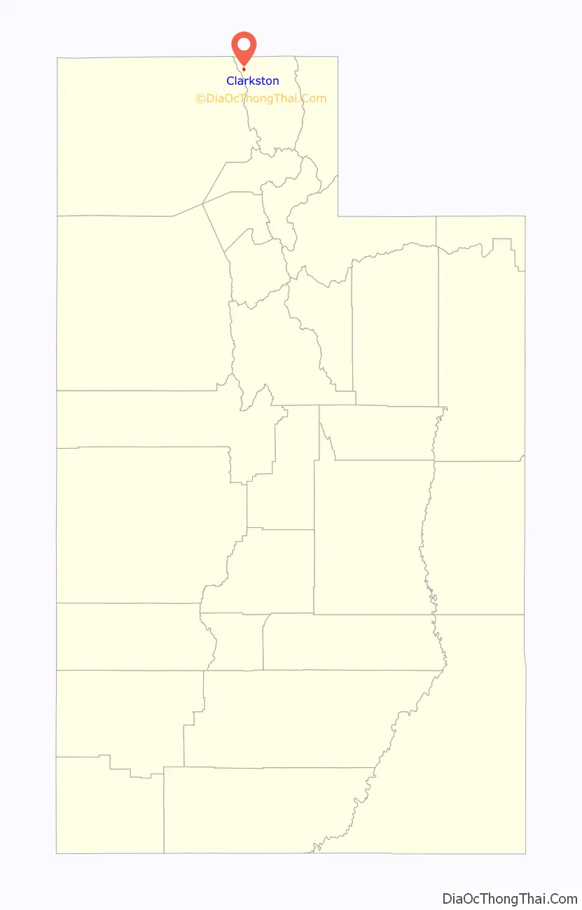
Clarkston location map. Where is Clarkston town?
History
The townsite of Clarkston was laid out in 1864. It was named for Israel Justus Clark, who was an early settler and the first branch president of the Church of Jesus Christ of Latter-day Saints in Clarkston. The settlers originally settled east of modern-day Clarkston in a spot known as the flat. Due to water quality concerns and sickness, they moved the town to a higher elevation and closer to City Creek and other springs. They also experimented in dry farming, mainly north of town. There was trouble with the native Americans, and in 1866 the settlement was abandoned for a short time. Eventually, an agreement was made between the settlers and Indian John, a chief under the Washakie. A Latter-day Saint ward was organized in Clarkston in the fall of 1867 with William F. Rigby as bishop. A brick meetinghouse was built in 1910. In 1930 Clarkston had a population of 570. Among the first settlers were Israel J. Clark, James Myler, William Ricks, Michael Poulsen, Johannis Dahle, Gideon Harmison, David Cook, John Griffiths, John Griffin, John Godfrey, Samuel Whitney, Ole S. Jensen and their families; also the Thompson and Hansen families, A. W. Heggie, a Mr. Parker, Paul Paulson, Andrew McCombs, Simon Smith, Isaac Cook, A. H. Atkinson, and others. The existence of the Clarkston settlement was threatened in 1869 when a majority of the settlers, due mainly to discouragement because of the severe winters and heavy drifting snow, decided to move to the present site of Newton, Utah. But a few people decided to stay in Clarkston, and some who had left returned, and the settlement became a permanent one. There was a controversy over retaining the name Clarkston for the original settlement or transferring it to the “New Town.”
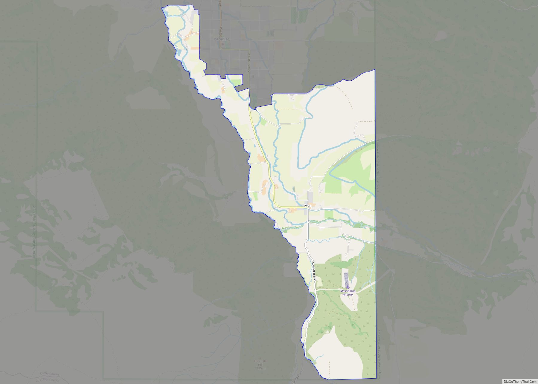
Clarkston Road Map
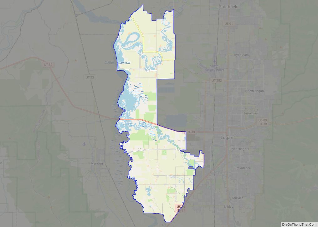
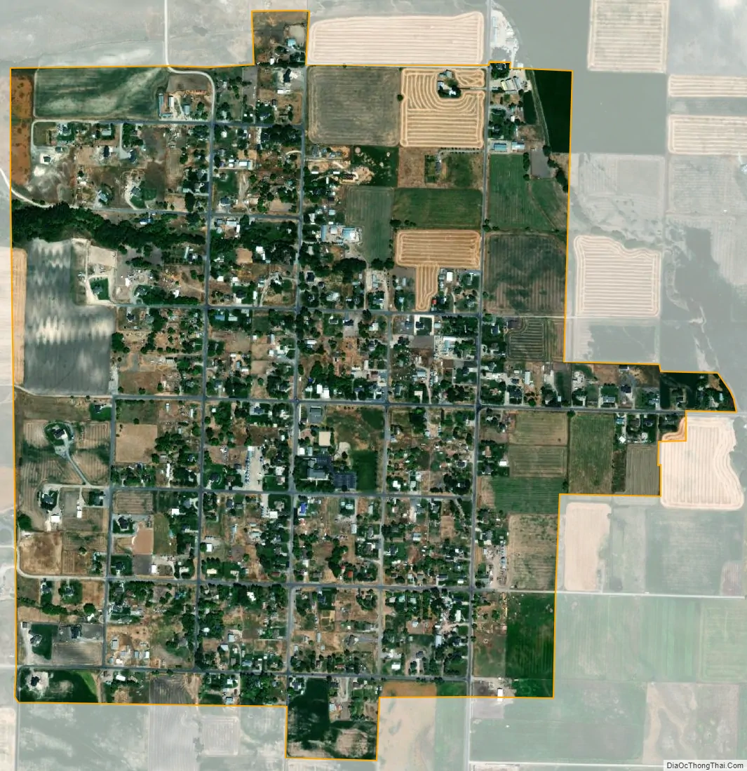
Clarkston city Satellite Map
Geography
According to the United States Census Bureau, the town has a total area of 1 square mile (2.6 km), all land. High above Clarkston rises Gunsight Peak, at an elevation of 8244 feet. Clarkston averages 219 sunny days a year. The average rainfall is 18 inches a year, with an average snowfall of 62 inches per year.
See also
Map of Utah State and its subdivision: Map of other states:- Alabama
- Alaska
- Arizona
- Arkansas
- California
- Colorado
- Connecticut
- Delaware
- District of Columbia
- Florida
- Georgia
- Hawaii
- Idaho
- Illinois
- Indiana
- Iowa
- Kansas
- Kentucky
- Louisiana
- Maine
- Maryland
- Massachusetts
- Michigan
- Minnesota
- Mississippi
- Missouri
- Montana
- Nebraska
- Nevada
- New Hampshire
- New Jersey
- New Mexico
- New York
- North Carolina
- North Dakota
- Ohio
- Oklahoma
- Oregon
- Pennsylvania
- Rhode Island
- South Carolina
- South Dakota
- Tennessee
- Texas
- Utah
- Vermont
- Virginia
- Washington
- West Virginia
- Wisconsin
- Wyoming