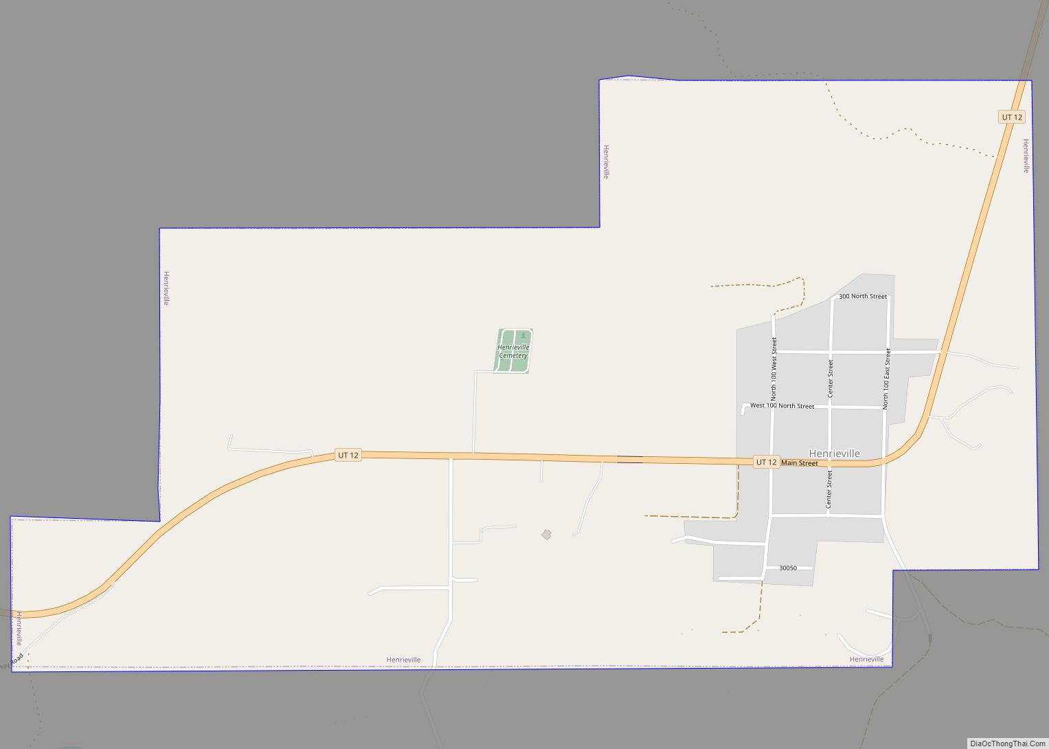
Henrieville is a town in Garfield County, Utah, United States, along Utah Scenic Byway 12. As of the 2010 census, the town population was 230, up from 159 at the 2000 census.
The community was named after James Henrie, a Mormon leader.
| Name: | Henrieville town |
|---|---|
| LSAD Code: | 43 |
| LSAD Description: | town (suffix) |
| State: | Utah |
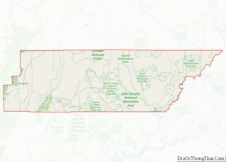
| County: | Garfield County |
| Incorporated: | 1934 |
| Elevation: | 5,998 ft (1,828 m) |
| Total Area: | 1.34 sq mi (3.48 km²) |
| Land Area: | 1.34 sq mi (3.48 km²) |
| Water Area: | 0.00 sq mi (0.00 km²) |
| Total Population: | 230 |
| Population Density: | 167.29/sq mi (64.58/km²) |
| ZIP code: | 84736 |
| Area code: | 435 |
| FIPS code: | 4934750 |
| GNISfeature ID: | 1428663 |
Online Interactive Map
Click on ![]() to view map in "full screen" mode.
to view map in "full screen" mode.
Henrieville location map. Where is Henrieville town?
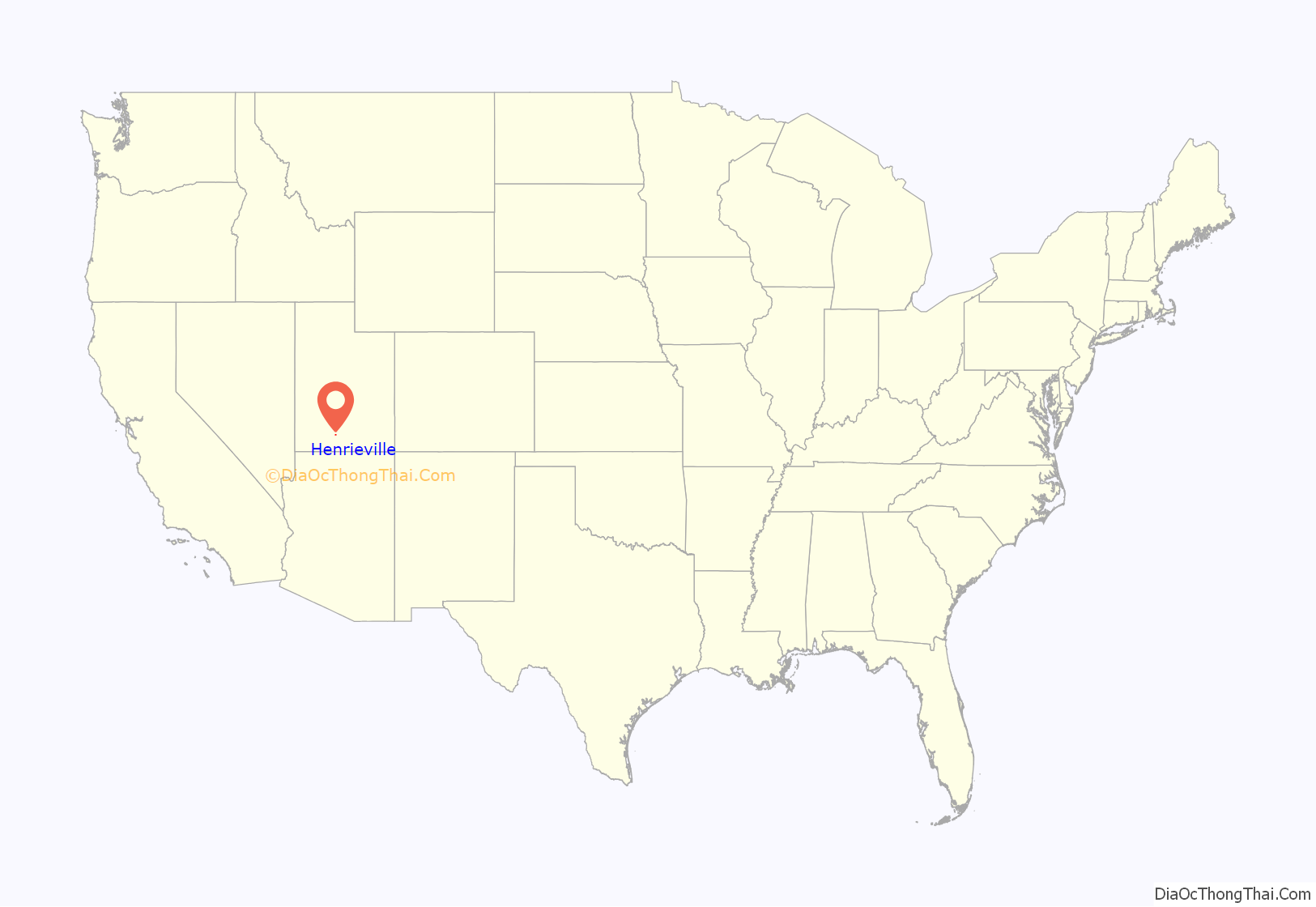
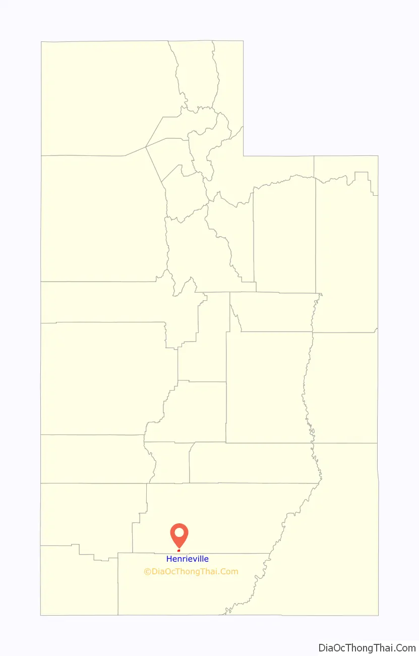
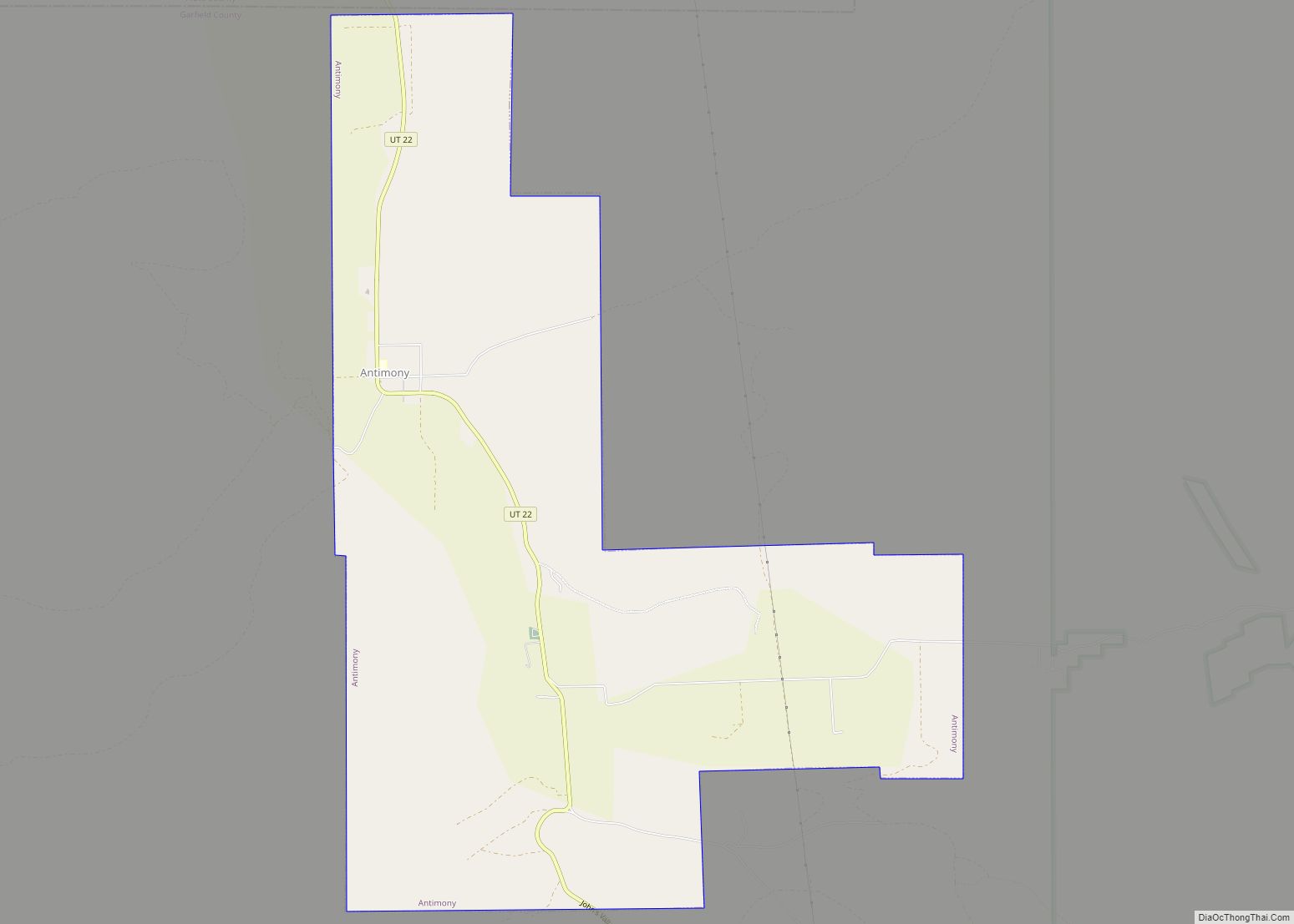
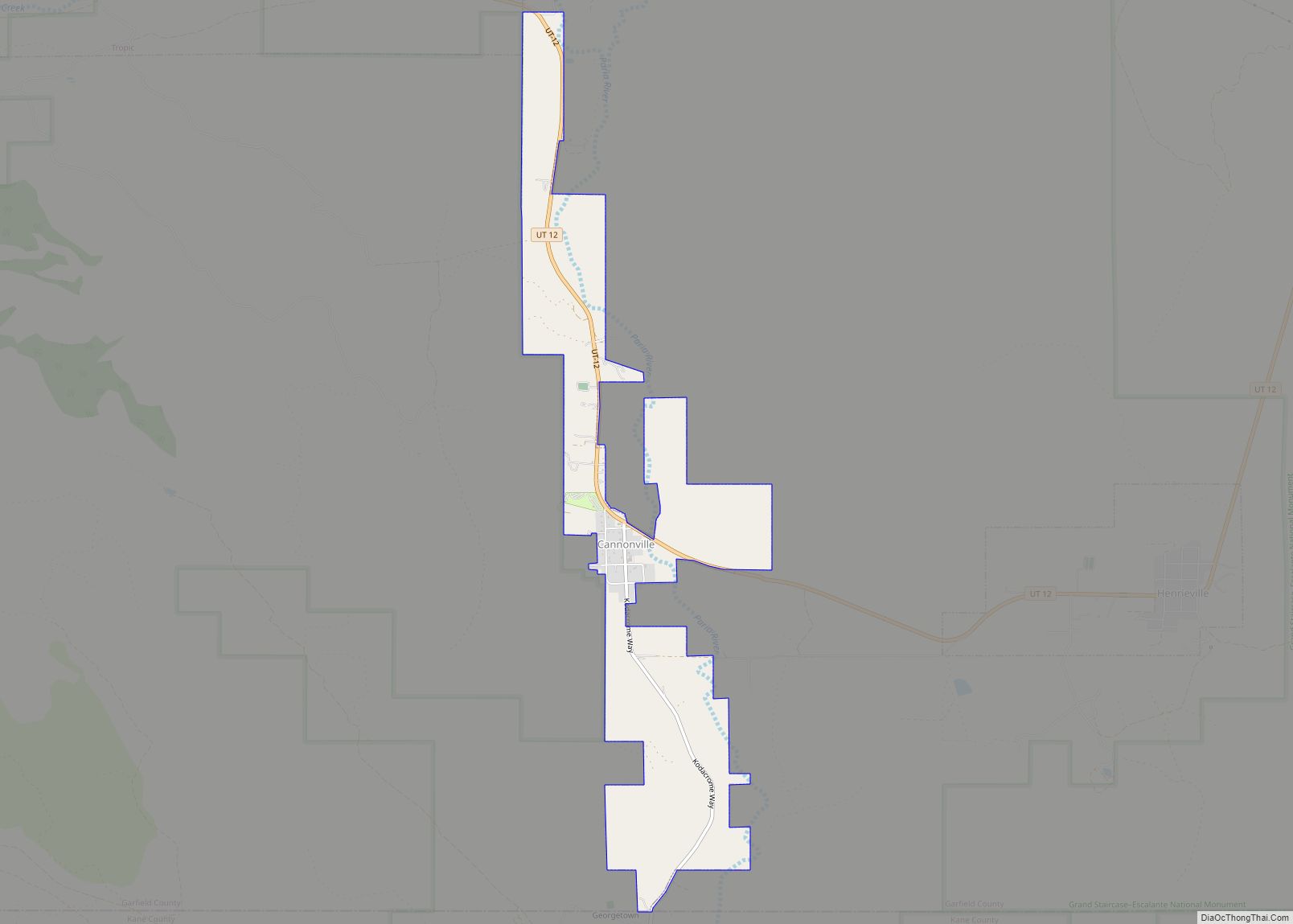
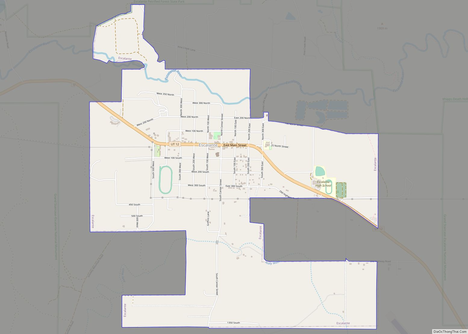
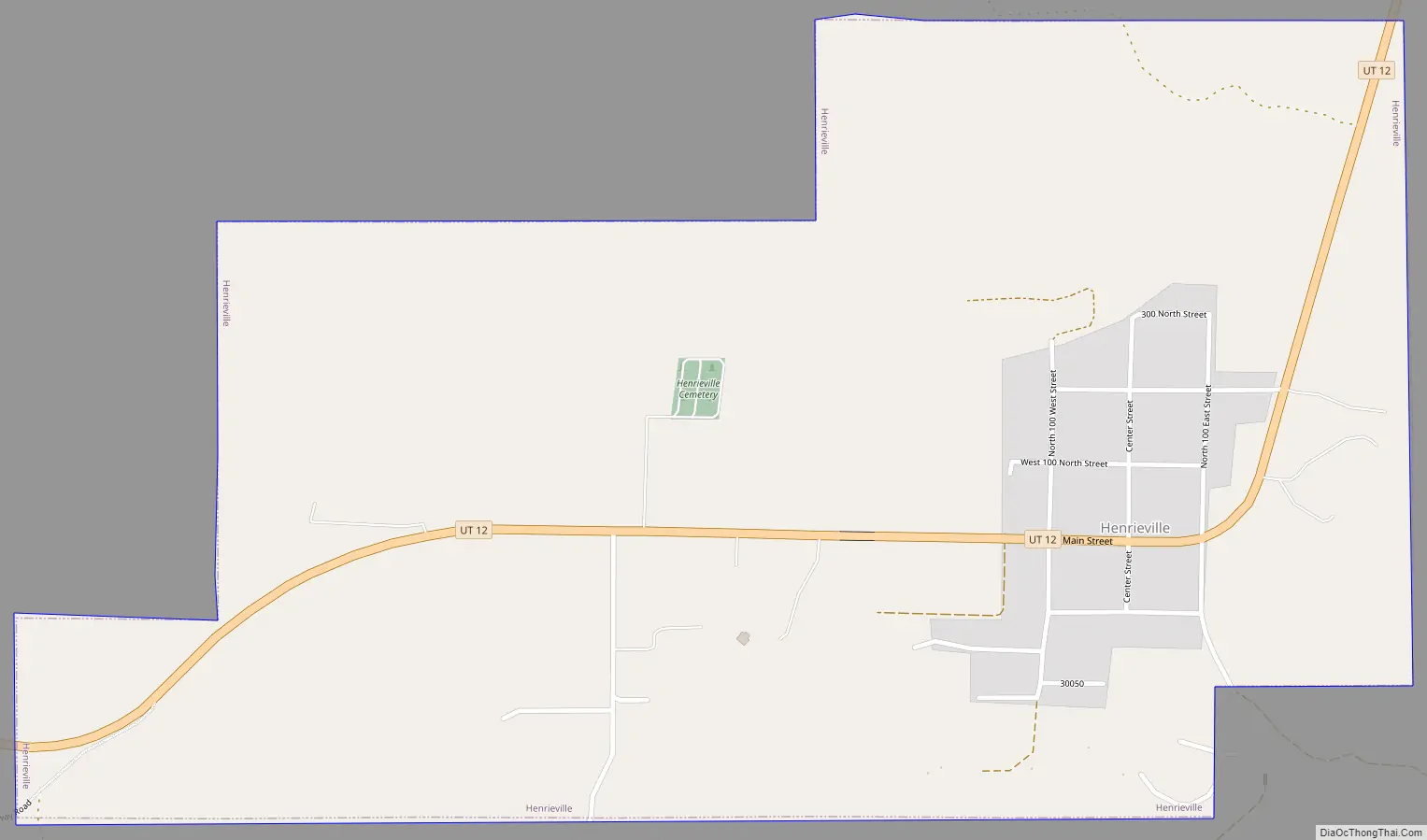
Henrieville Road Map
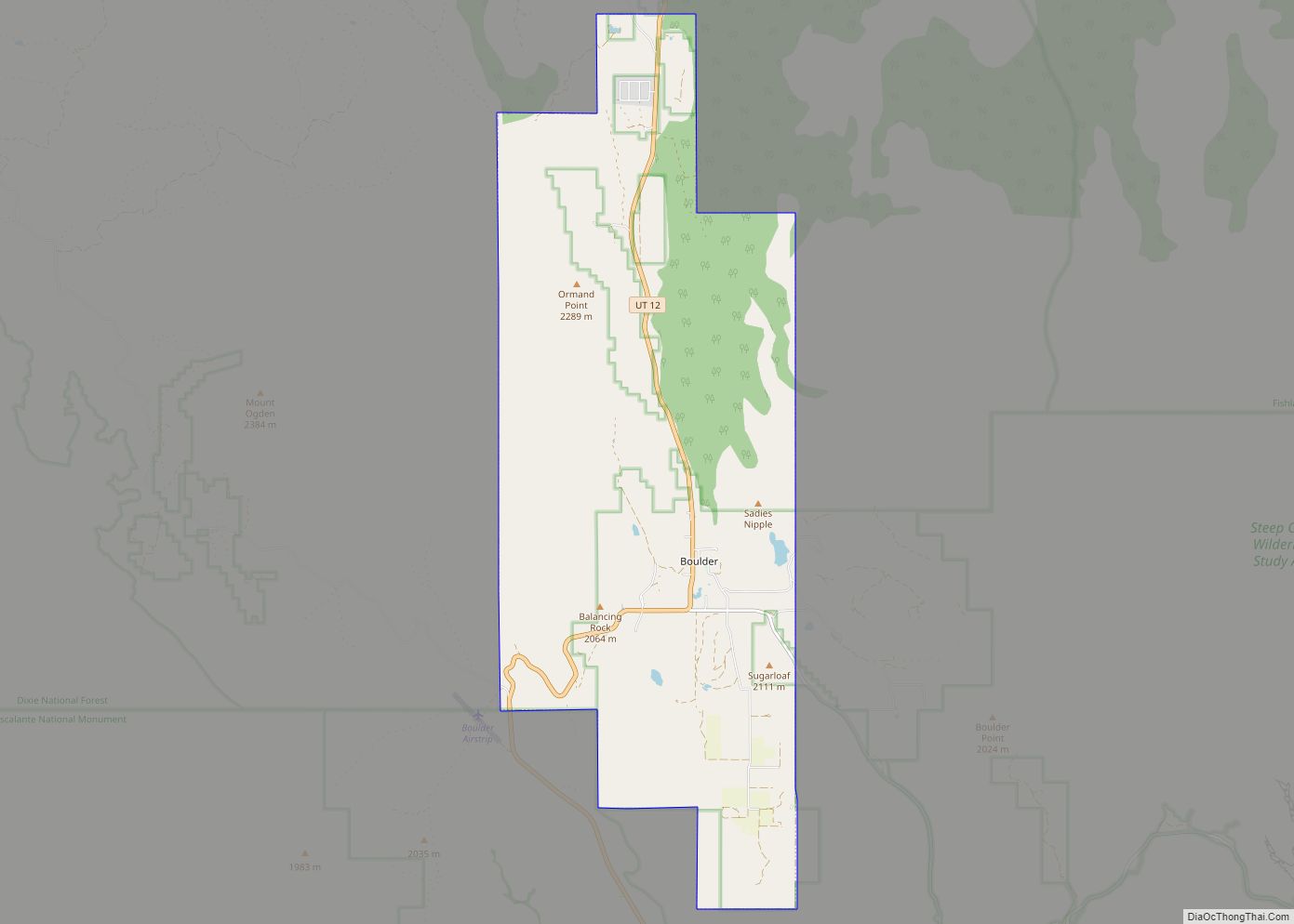
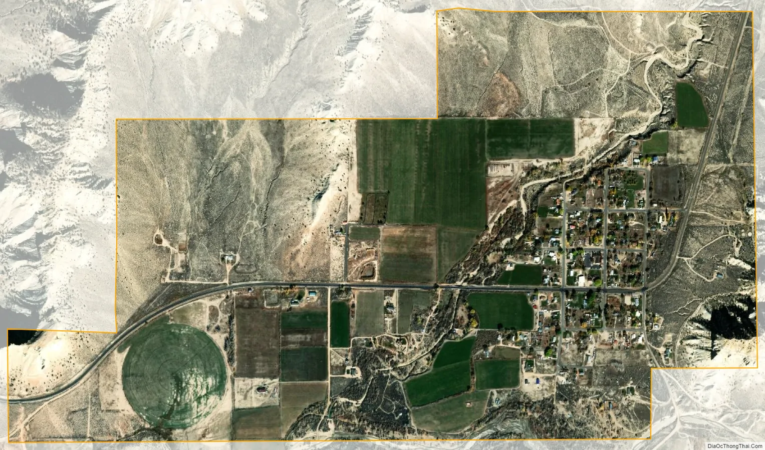
Henrieville city Satellite Map
Geography
Henrieville is in southern Garfield County, along Utah State Route 12. It is 15 miles (24 km) southeast of Bryce Canyon City and 30 miles (48 km) southwest of Escalante. Cannonville, the closest neighboring town, is 3.5 miles (5.6 km) to the west on Route 12.
According to the United States Census Bureau, Henrieville has a total area of 1.5 square miles (4.0 km), all land.
Climate
The climate in this area has mild differences between highs and lows, and there is adequate rainfall year-round. According to the Köppen Climate Classification system, Henrieville has a hot and cold arid desert climate, abbreviated “BWk” on climate maps.
See also
Map of Utah State and its subdivision: Map of other states:- Alabama
- Alaska
- Arizona
- Arkansas
- California
- Colorado
- Connecticut
- Delaware
- District of Columbia
- Florida
- Georgia
- Hawaii
- Idaho
- Illinois
- Indiana
- Iowa
- Kansas
- Kentucky
- Louisiana
- Maine
- Maryland
- Massachusetts
- Michigan
- Minnesota
- Mississippi
- Missouri
- Montana
- Nebraska
- Nevada
- New Hampshire
- New Jersey
- New Mexico
- New York
- North Carolina
- North Dakota
- Ohio
- Oklahoma
- Oregon
- Pennsylvania
- Rhode Island
- South Carolina
- South Dakota
- Tennessee
- Texas
- Utah
- Vermont
- Virginia
- Washington
- West Virginia
- Wisconsin
- Wyoming