Independence is a town in Wasatch County, Utah, United States. Lying just east of U.S. Route 40 southeast of Heber City, Independence was incorporated in 2008 under a controversial, short-lived state law. The population was 164 at the 2010 census.
| Name: | Independence town |
|---|---|
| LSAD Code: | 43 |
| LSAD Description: | town (suffix) |
| State: | Utah |
| County: | Wasatch County |
| Incorporated: | June 5, 2008 |
| Elevation: | 7,073 ft (2,156 m) |
| Total Area: | 30.55 sq mi (79.12 km²) |
| Land Area: | 30.55 sq mi (79.12 km²) |
| Water Area: | 0.00 sq mi (0.00 km²) |
| Total Population: | 164 |
| Population Density: | 6.48/sq mi (2.50/km²) |
| ZIP code: | 84032 |
| Area code: | 435 |
| FIPS code: | 4937690 |
| GNISfeature ID: | 2547778 |
| Website: | www.independenceut.org |
Online Interactive Map
Click on ![]() to view map in "full screen" mode.
to view map in "full screen" mode.
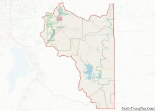
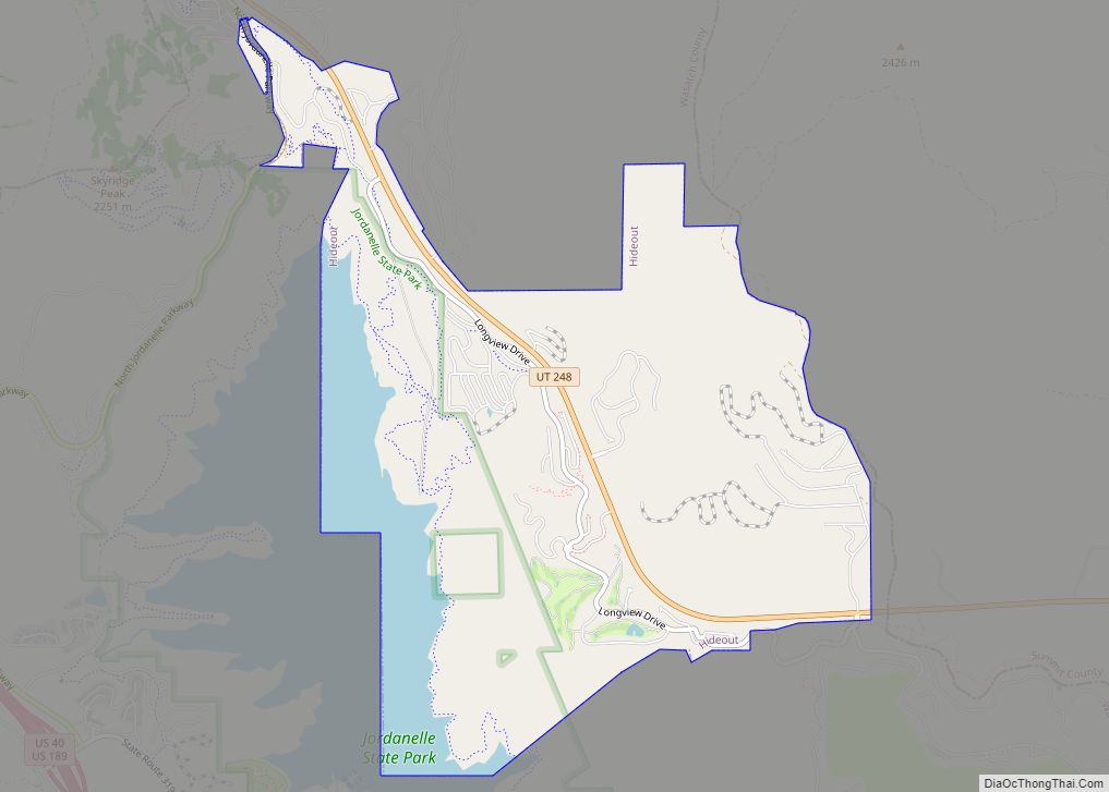
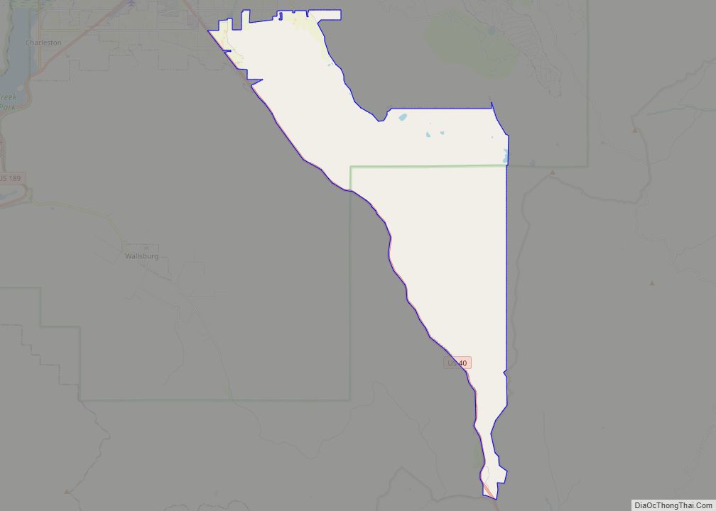
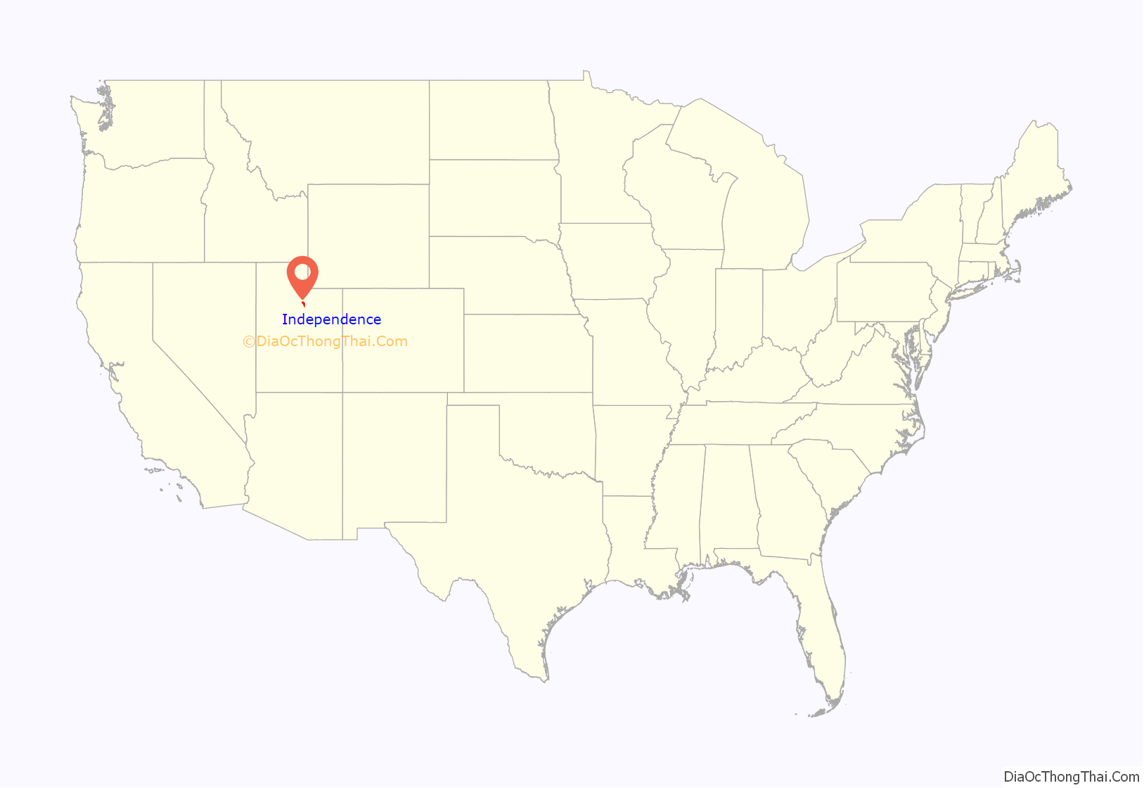
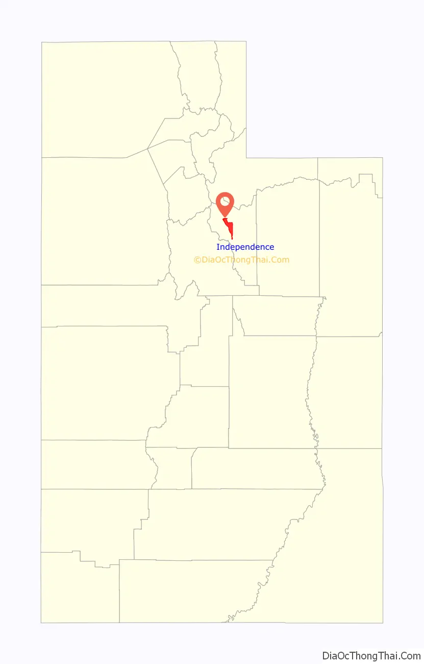
Independence location map. Where is Independence town?
History
In 2007, the Utah State Legislature unanimously passed H.B. 466, a bill that amended the state law on petitions to incorporate a town. The new provisions allowed a petition for a new town with 100–999 residents to be filed with just the signatures of the owners of a majority of the land area, even a single majority landowner. If the petition met the conditions of state law and its signers owned the majority of the land by value, the new law required the county government to grant the petition and appoint a mayor and town council from a list of individuals approved by the petitioners. In July 2007 Ruby’s Inn, in Garfield County, became the first to take advantage of the law, incorporating as Bryce Canyon City.
A group of Wasatch County landowners led by developer Mel McQuarrie filed the first petition to incorporate Independence on October 12, 2007, but county officials denied it for an incomplete land survey. Some residents who would have been included in the original boundaries of the proposed town petitioned to be annexed into nearby Daniel, rather than be included in Independence. The incorporation petitioners re-filed on December 17, 2007.
In its review of the second petition, the Wasatch County Council allowed some potential Independence residents to opt out of the proposal on February 6, 2008, then denied incorporation again on February 13, 2008, this time for insufficient population.
By March 2008, the Legislature had amended the law again, unanimously passing H.B. 164, which required a petition for incorporation to have the support of half the residents, and provided for an elected mayor and town council. There must also be at least five petition sponsors, who were not allowed themselves to own more than 40 percent of the land. An effort to make the new law retroactive failed, and petitions filed under H.B. 466 went forward. Among those grandfathered in were the third Independence petition, which had been filed just before the repeal, as well as pending requests for the town of Hideout, also in Wasatch County, and Powder Mountain in Weber County.
The Wasatch County Council finally granted the petition to incorporate Independence on April 2, 2008.
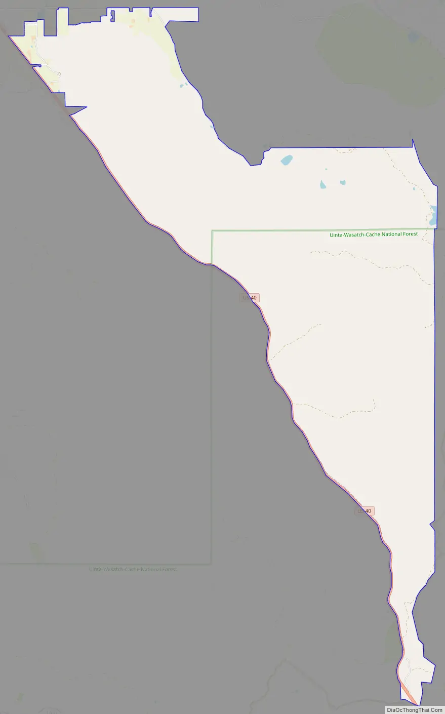
Independence Road Map
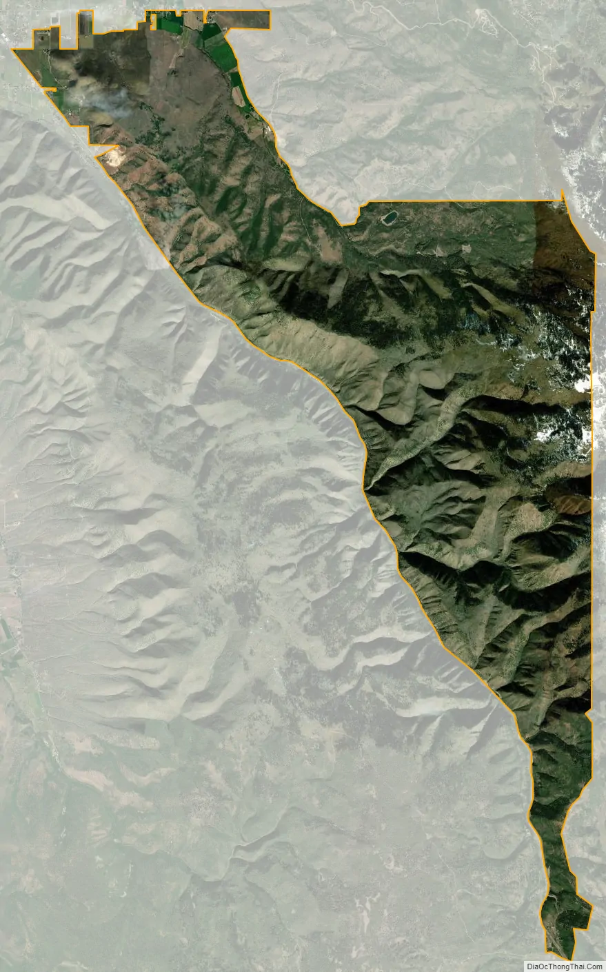
Independence city Satellite Map
Geography
Independence is a sparsely populated rural community in Daniel’s Canyon in the Wasatch Mountains. It consists of farmland and wooded mountain slopes. Just to the southeast of the young town of Daniel, Independence lies on a popular recreational corridor between Heber City and Strawberry Reservoir.
See also
Map of Utah State and its subdivision: Map of other states:- Alabama
- Alaska
- Arizona
- Arkansas
- California
- Colorado
- Connecticut
- Delaware
- District of Columbia
- Florida
- Georgia
- Hawaii
- Idaho
- Illinois
- Indiana
- Iowa
- Kansas
- Kentucky
- Louisiana
- Maine
- Maryland
- Massachusetts
- Michigan
- Minnesota
- Mississippi
- Missouri
- Montana
- Nebraska
- Nevada
- New Hampshire
- New Jersey
- New Mexico
- New York
- North Carolina
- North Dakota
- Ohio
- Oklahoma
- Oregon
- Pennsylvania
- Rhode Island
- South Carolina
- South Dakota
- Tennessee
- Texas
- Utah
- Vermont
- Virginia
- Washington
- West Virginia
- Wisconsin
- Wyoming