Interlaken is a town in northwestern Wasatch County, Utah, United States. The current mayor is Greg Harrigan
| Name: | Interlaken town |
|---|---|
| LSAD Code: | 43 |
| LSAD Description: | town (suffix) |
| State: | Utah |
| County: | Wasatch County |
| Incorporated: | May 20, 2015 |
| Elevation: | 5,919 ft (1,805 m) |
| Total Area: | 0.22 sq mi (0.58 km²) |
| Land Area: | 0.22 sq mi (0.58 km²) |
| Water Area: | 0.00 sq mi (0.00 km²) |
| Total Population: | 164 |
| Population Density: | 1,053.81/sq mi (406.12/km²) |
| ZIP code: | 84049 |
| Area code: | 435 |
| FIPS code: | 4937924 |
| GNISfeature ID: | 2783907 |
| Website: | www.town-of-interlaken.com |
Online Interactive Map
Click on ![]() to view map in "full screen" mode.
to view map in "full screen" mode.
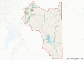
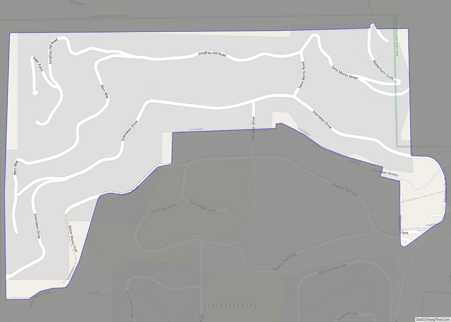
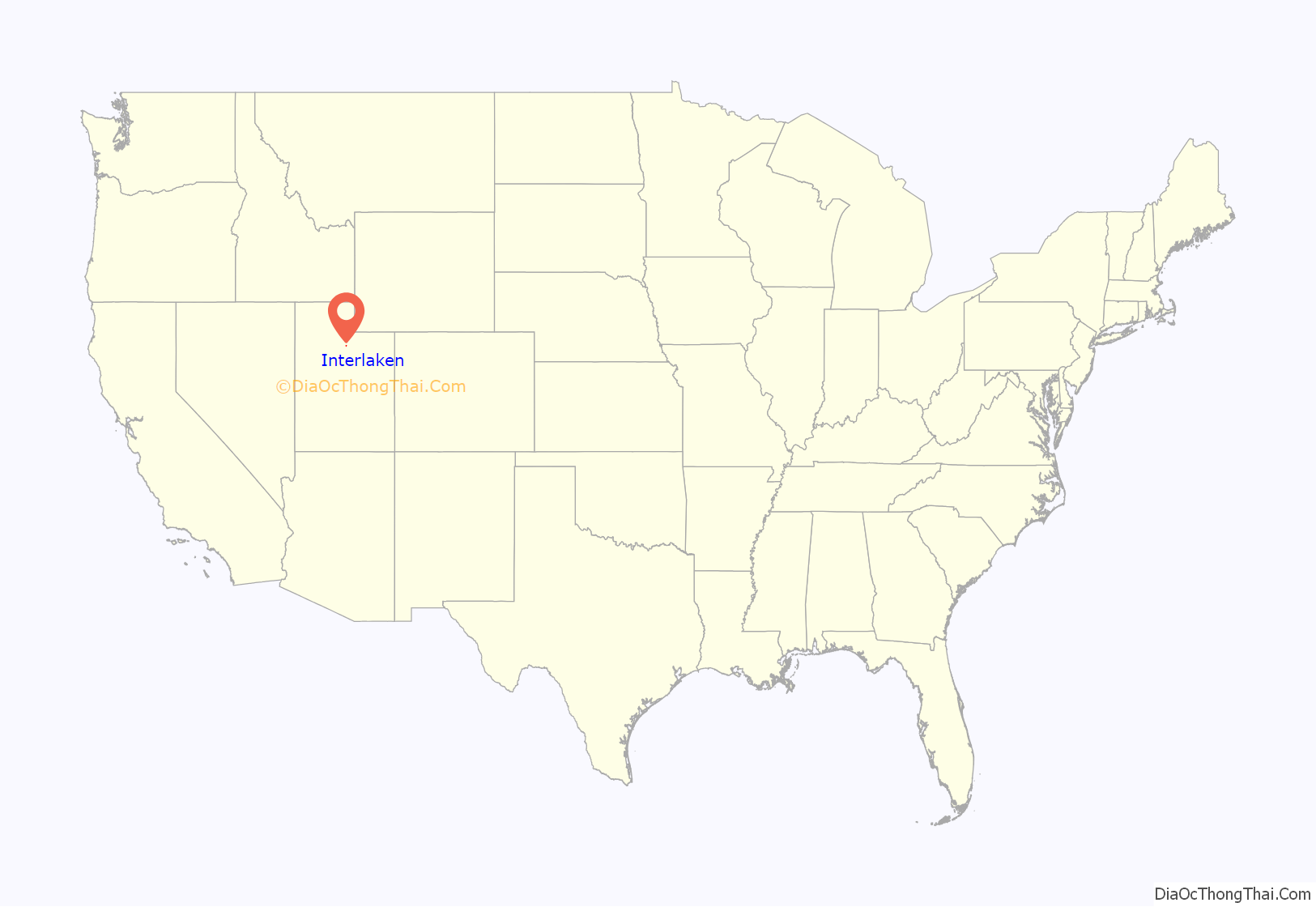
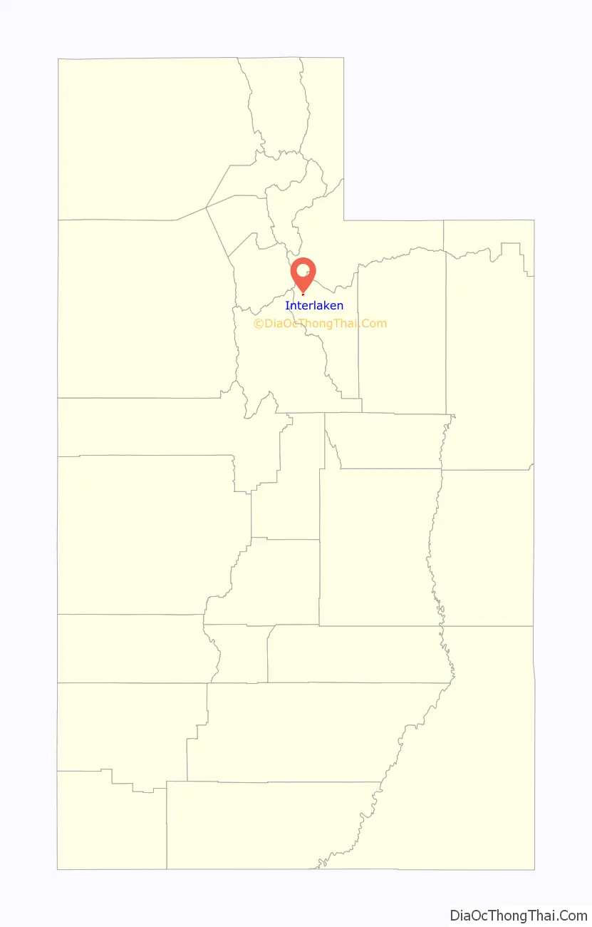
Interlaken location map. Where is Interlaken town?
History
The community was began as a housing development in unincorporated Wasatch County that was known as Interlaken Estates. The town was officially incorporated on May 20, 2015.
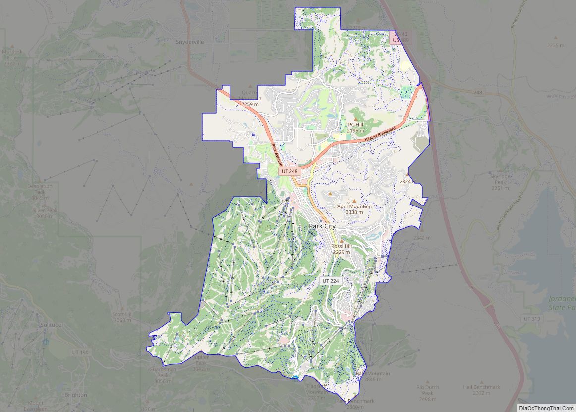
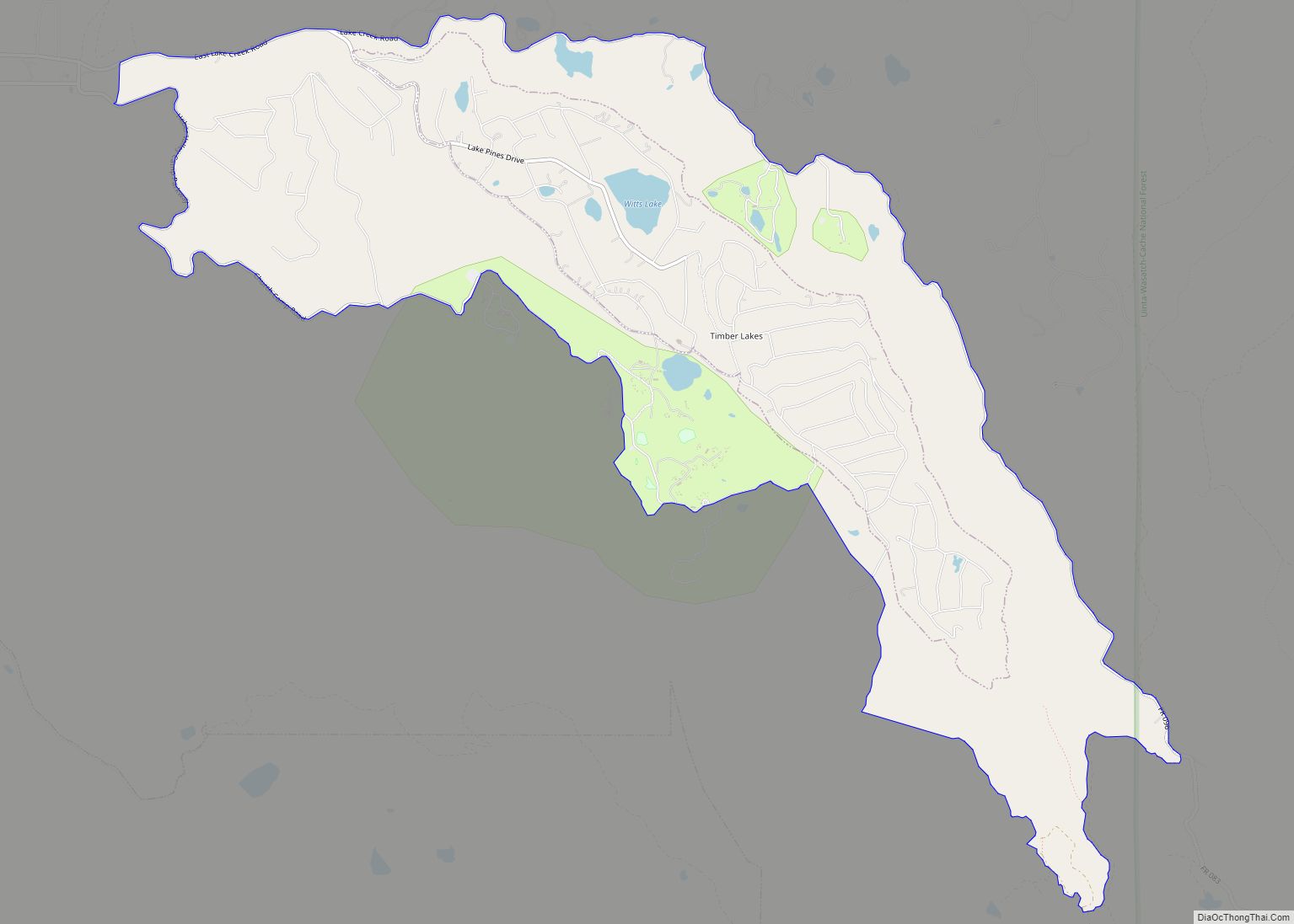
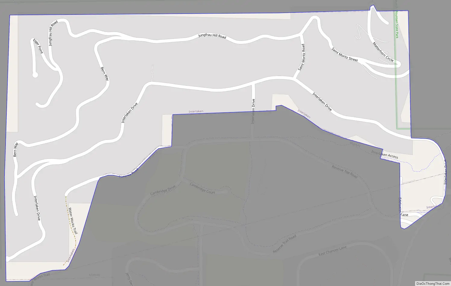
Interlaken Road Map
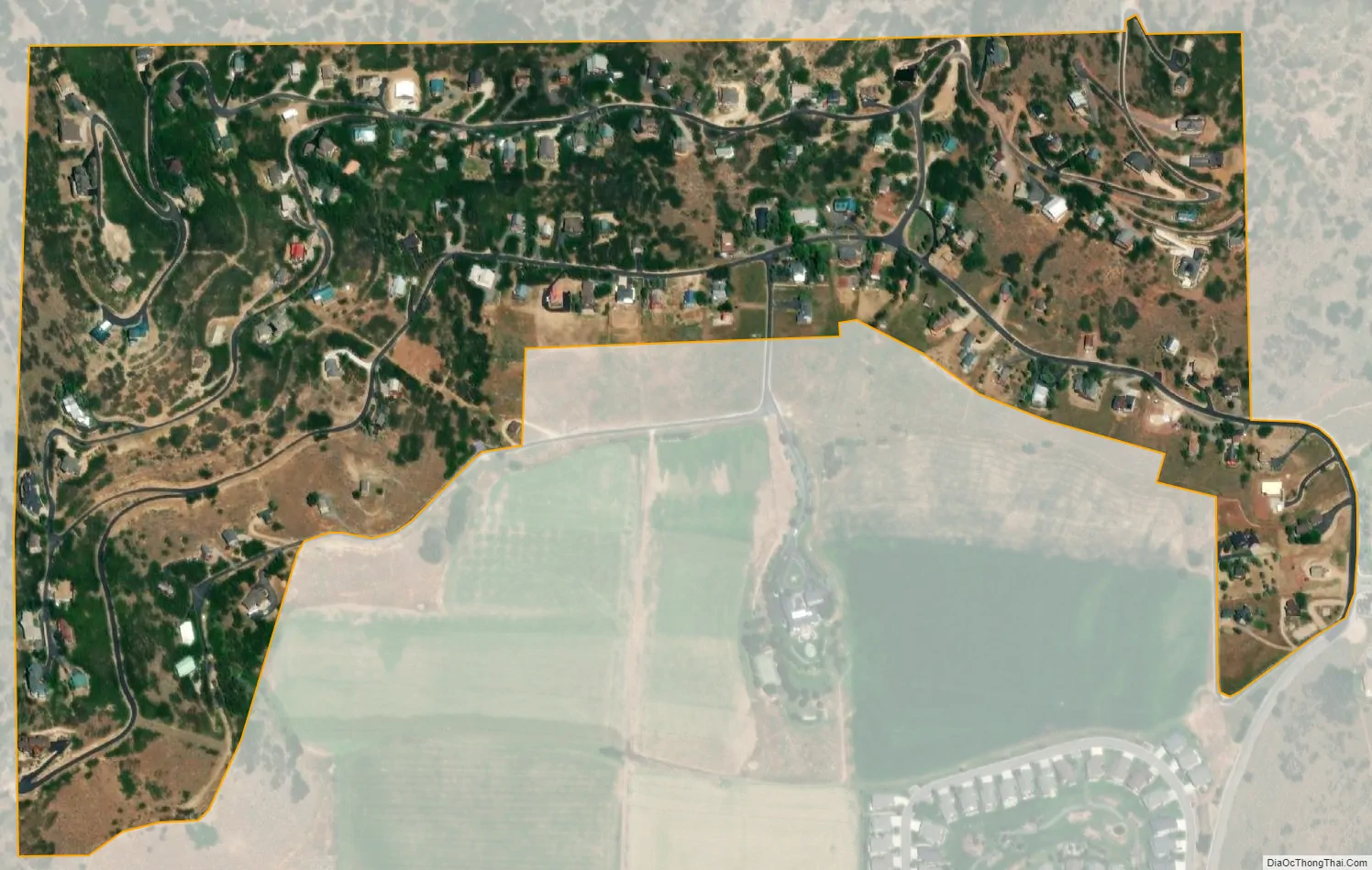
Interlaken city Satellite Map
Geography
The entire town is situated on the foothills in northwestern Heber Valley. It is surrounded on three sides (west, north, and east) by the Wasatch Mountain State Park. On the south is the city of Midway, which provides the only access to the town via either Canyon View Road (North 220 West) or Interlaken Drive (the latter of which was originally the only access road to Interlaken). According to the United States Census Bureau, the town has a total area of 0.223 square miles (0.58 km), all land.
See also
Map of Utah State and its subdivision: Map of other states:- Alabama
- Alaska
- Arizona
- Arkansas
- California
- Colorado
- Connecticut
- Delaware
- District of Columbia
- Florida
- Georgia
- Hawaii
- Idaho
- Illinois
- Indiana
- Iowa
- Kansas
- Kentucky
- Louisiana
- Maine
- Maryland
- Massachusetts
- Michigan
- Minnesota
- Mississippi
- Missouri
- Montana
- Nebraska
- Nevada
- New Hampshire
- New Jersey
- New Mexico
- New York
- North Carolina
- North Dakota
- Ohio
- Oklahoma
- Oregon
- Pennsylvania
- Rhode Island
- South Carolina
- South Dakota
- Tennessee
- Texas
- Utah
- Vermont
- Virginia
- Washington
- West Virginia
- Wisconsin
- Wyoming