Newton is a town in Cache County, Utah, United States. It was founded in 1869 by pioneers of the Church of Jesus Christ of Latter-day Saints. The population was 789 at the 2010 census. It is included in the Logan, Utah-Idaho Metropolitan Statistical Area.
| Name: | Newton town |
|---|---|
| LSAD Code: | 43 |
| LSAD Description: | town (suffix) |
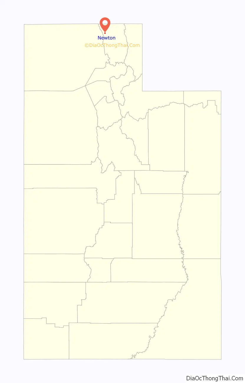
| State: | Utah |
| County: | Cache County |
| Elevation: | 4,534 ft (1,382 m) |
| Total Area: | 0.86 sq mi (2.22 km²) |
| Land Area: | 0.86 sq mi (2.22 km²) |
| Water Area: | 0.00 sq mi (0.00 km²) |
| Total Population: | 789 |
| Population Density: | 952.21/sq mi (367.87/km²) |
| ZIP code: | 84327 |
| Area code: | 435 |
| FIPS code: | 4954550 |
| GNISfeature ID: | 1430705 |
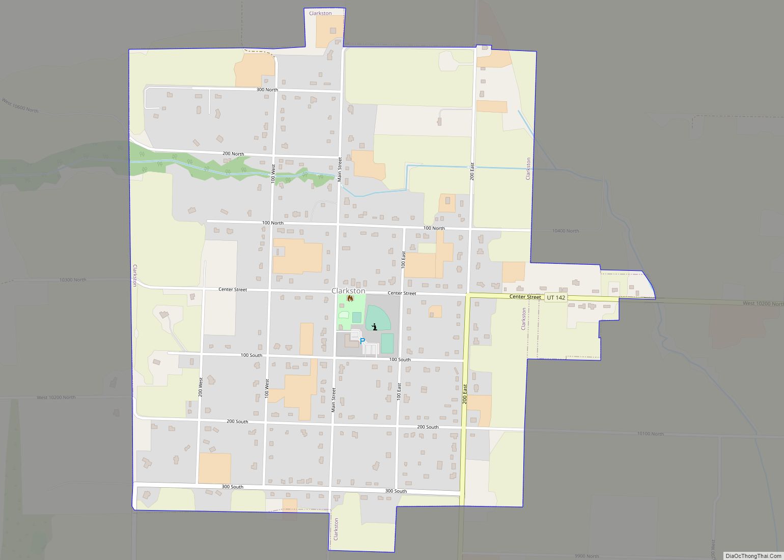
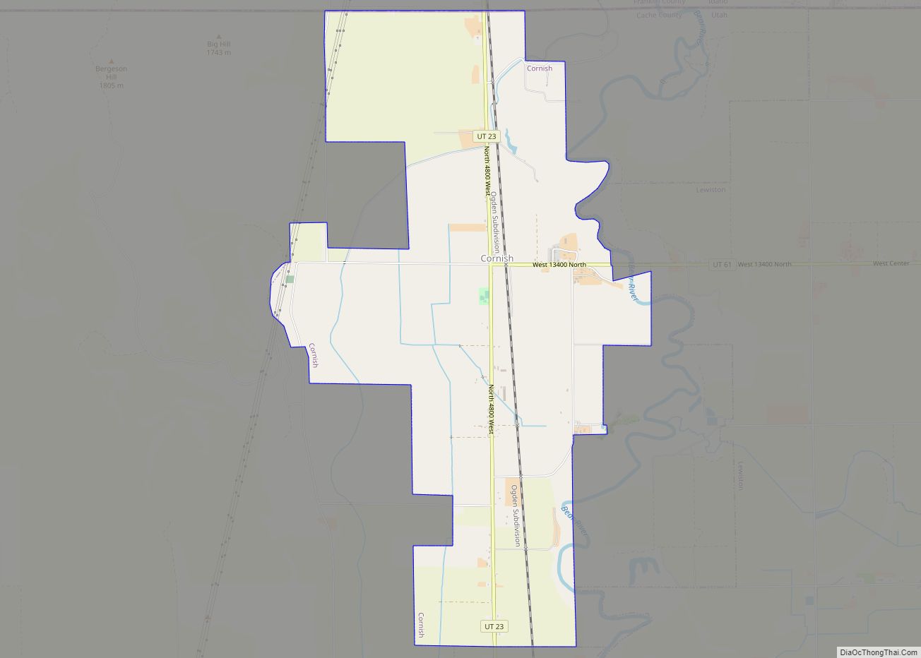
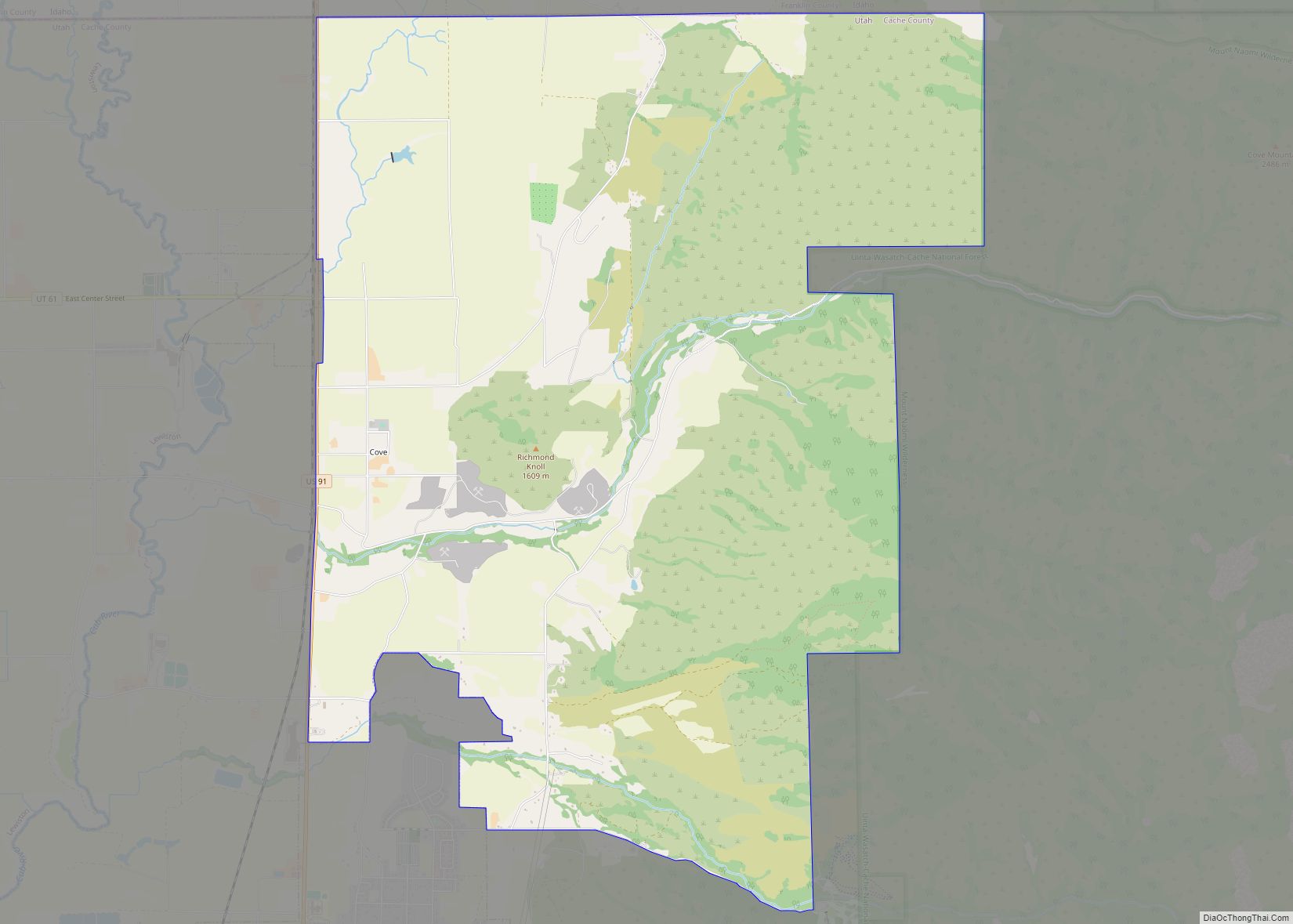
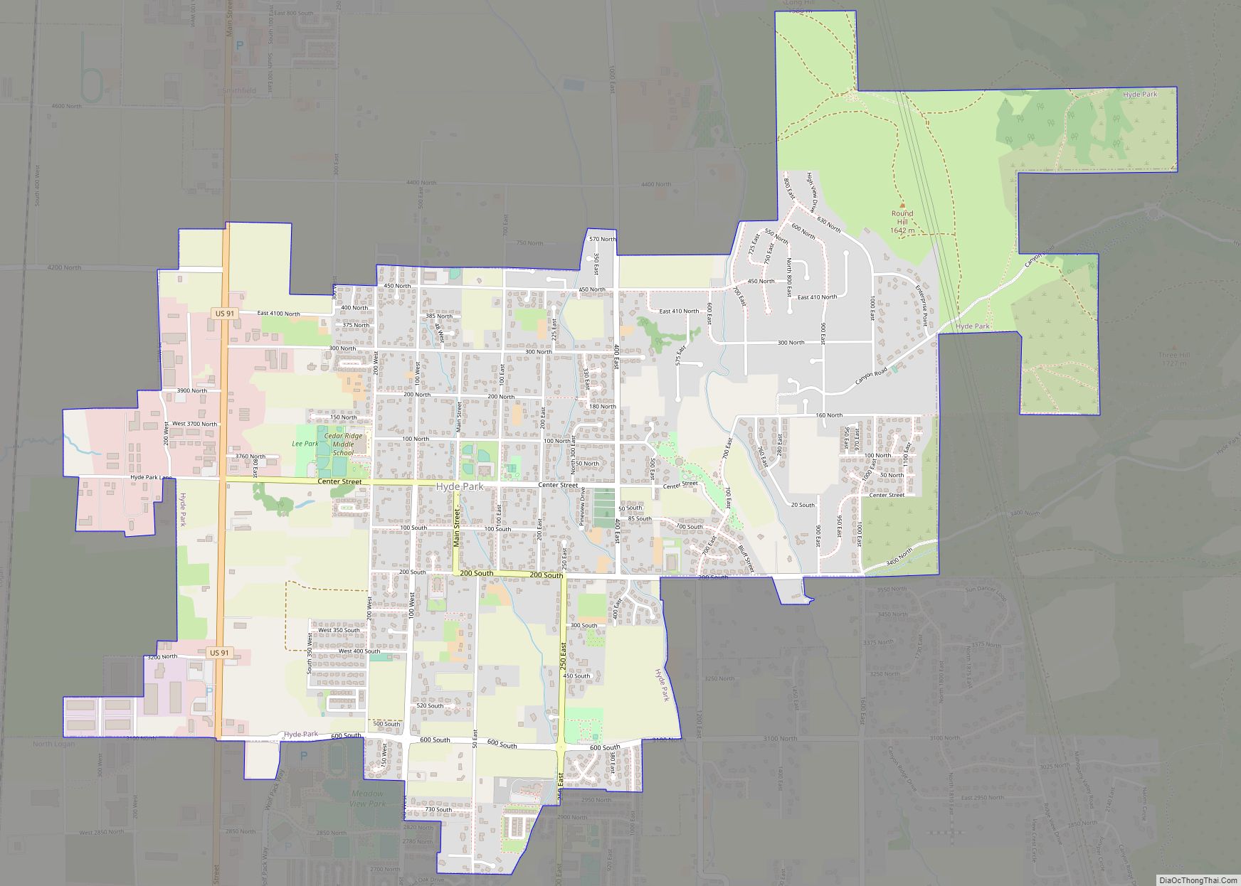
Online Interactive Map
Click on ![]() to view map in "full screen" mode.
to view map in "full screen" mode.
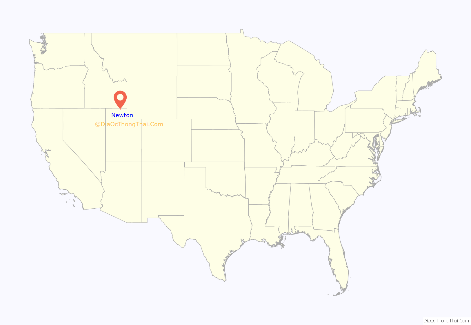
Newton location map. Where is Newton town?
History
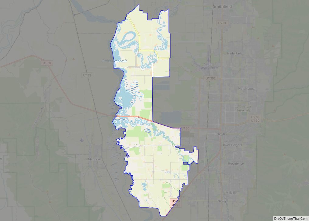
Newton was first settled in 1869. A bridge was built over the Bear River in 1871 and it was at that point that many of the inhabitants of Clarkston, Utah moved to this “new town”. Newton has two reservoirs nearby: Newton Dam reservoir to the north, and the much larger Cutler Reservoir to the south.
Newton Road Map
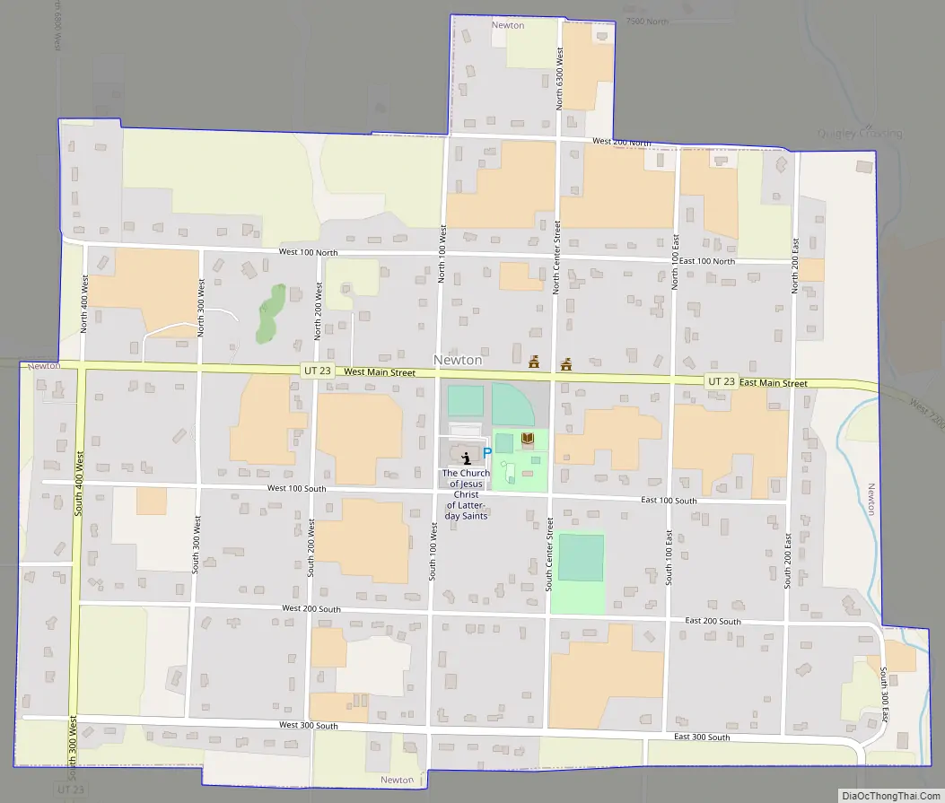
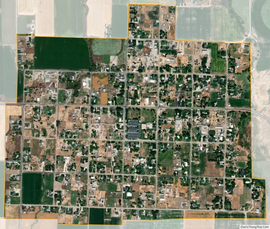
Newton city Satellite Map
Geography
According to the United States Census Bureau, the town has a total area of 0.8 square mile (2.0 km), all land.
See also
Map of Utah State and its subdivision: Map of other states:- Alabama
- Alaska
- Arizona
- Arkansas
- California
- Colorado
- Connecticut
- Delaware
- District of Columbia
- Florida
- Georgia
- Hawaii
- Idaho
- Illinois
- Indiana
- Iowa
- Kansas
- Kentucky
- Louisiana
- Maine
- Maryland
- Massachusetts
- Michigan
- Minnesota
- Mississippi
- Missouri
- Montana
- Nebraska
- Nevada
- New Hampshire
- New Jersey
- New Mexico
- New York
- North Carolina
- North Dakota
- Ohio
- Oklahoma
- Oregon
- Pennsylvania
- Rhode Island
- South Carolina
- South Dakota
- Tennessee
- Texas
- Utah
- Vermont
- Virginia
- Washington
- West Virginia
- Wisconsin
- Wyoming