Richmond is a city in Cache County, Utah, United States. The population was 2,733 at the 2020 census. It is included in the Logan metropolitan area.
| Name: | Richmond city |
|---|---|
| LSAD Code: | 25 |
| LSAD Description: | city (suffix) |
| State: | Utah |
| County: | Cache County |
| Incorporated: | 1868 |
| Elevation: | 4,610 ft (1,405 m) |
| Total Area: | 3.5 sq mi (9.06 km²) |
| Land Area: | 3.5 sq mi (9.06 km²) |
| Water Area: | 0.00 sq mi (0.00 km²) |
| Total Population: | 2,733 |
| Population Density: | 811.05/sq mi (313.19/km²) |
| ZIP code: | 84333 |
| Area code: | 435 |
| FIPS code: | 4963680 |
| GNISfeature ID: | 1444892 |
| Website: | richmondutah.org |
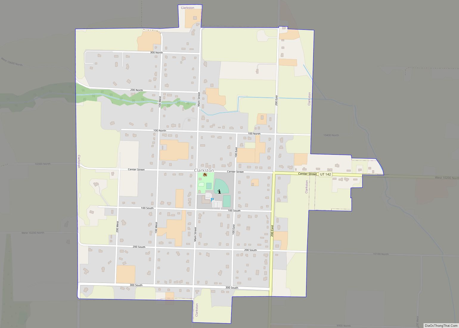
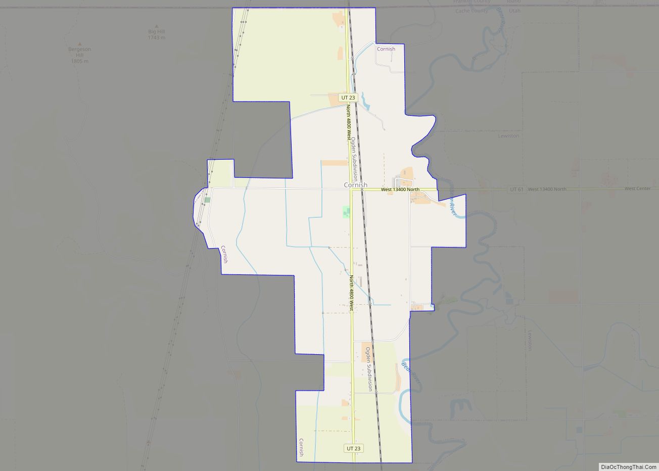
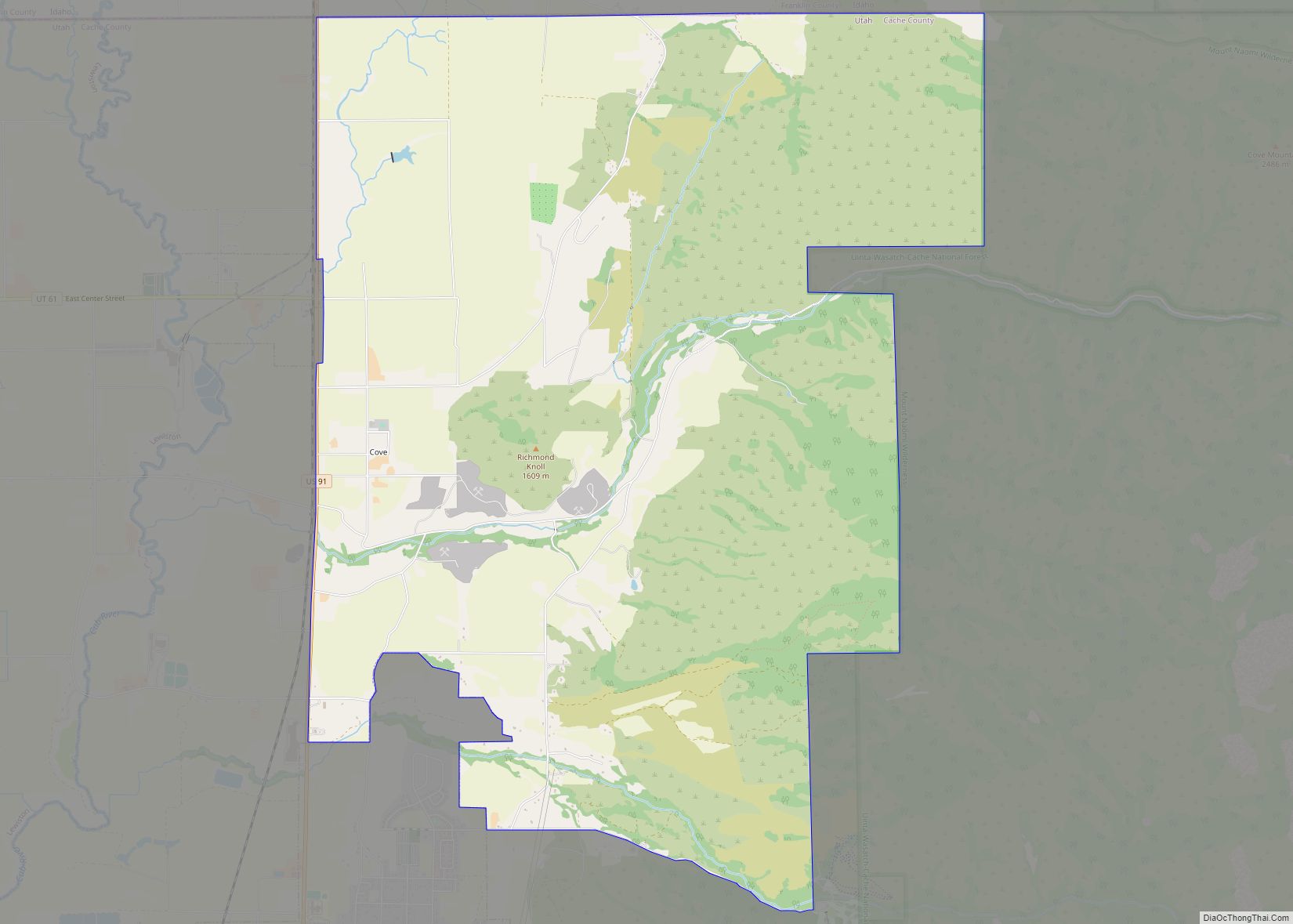
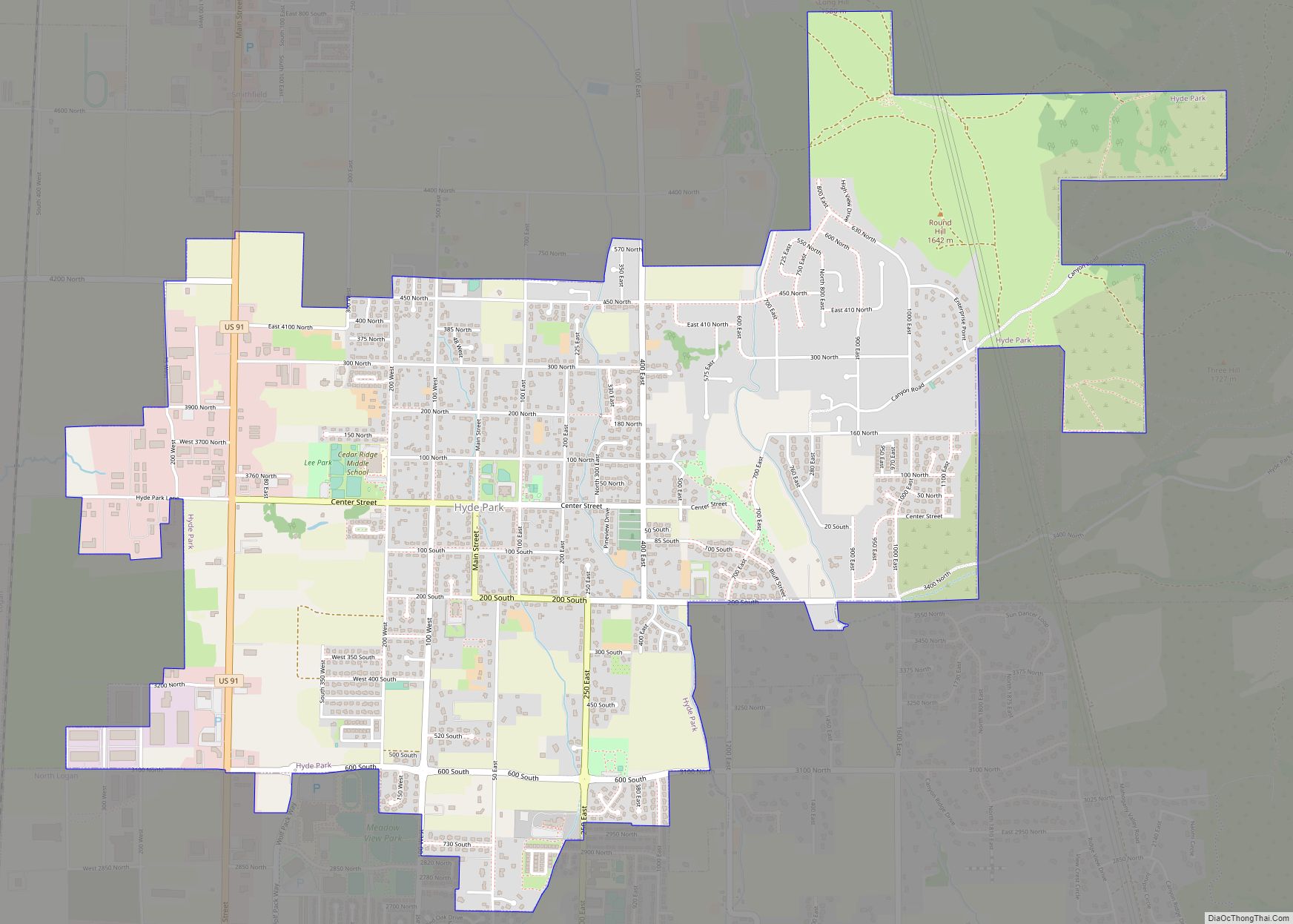
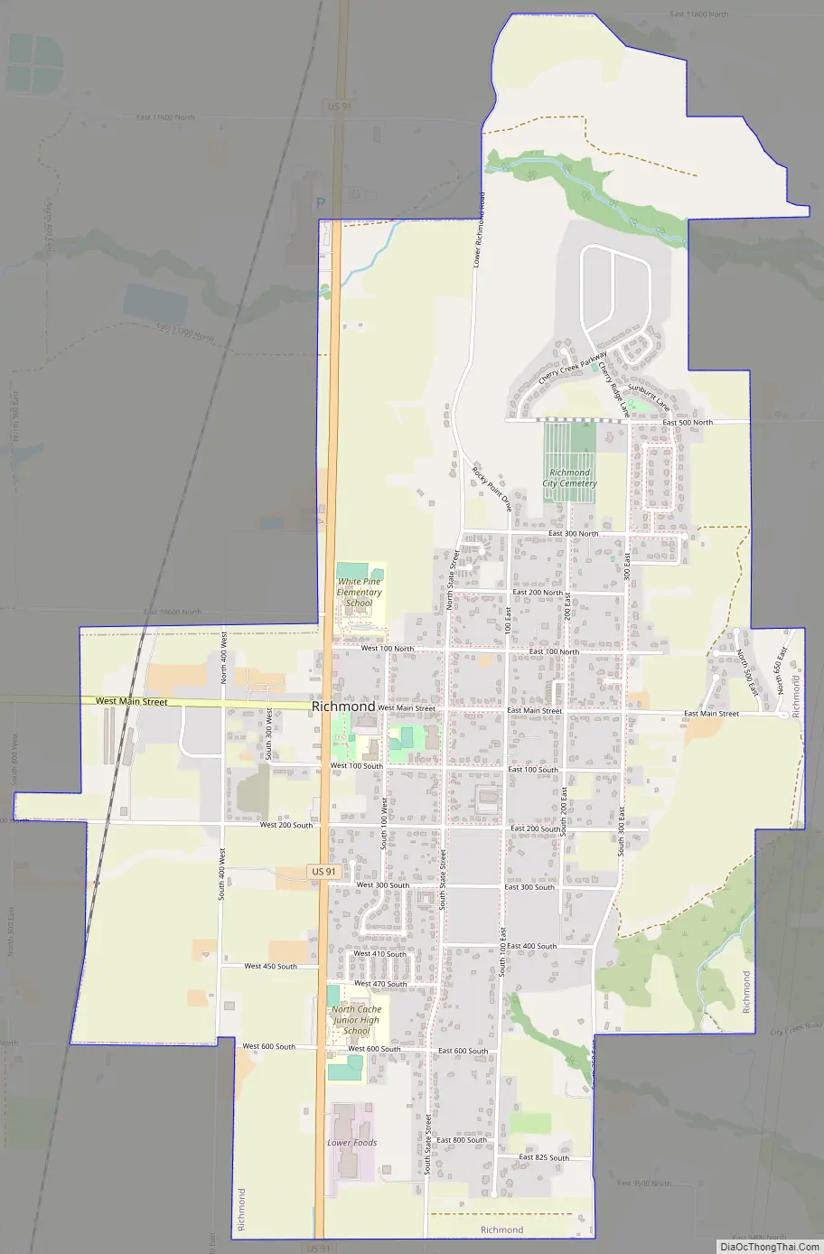
Online Interactive Map
Click on ![]() to view map in "full screen" mode.
to view map in "full screen" mode.
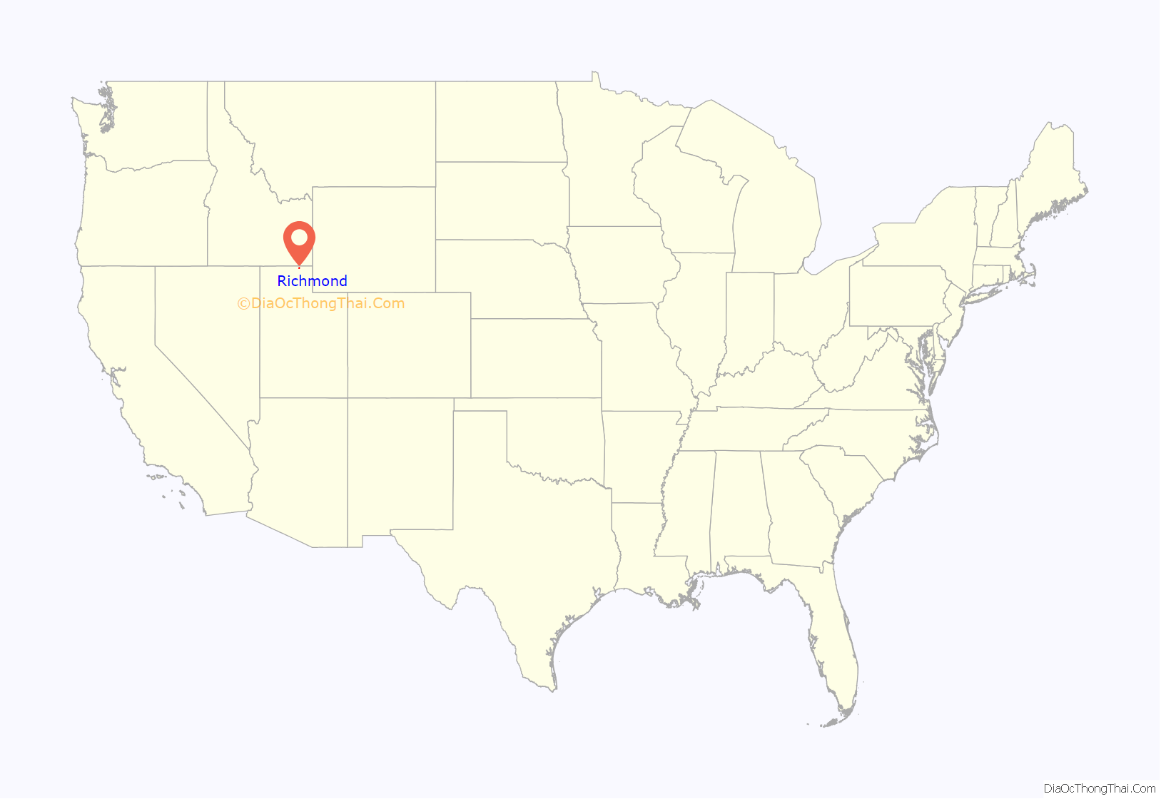
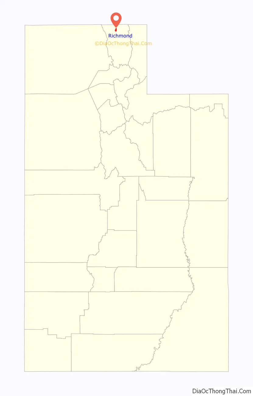
Richmond location map. Where is Richmond city?
History
Agrippa Cooper was the first settler in Richmond in the mid-1850s. In 1859, surveyors visited the Richmond area and determined it to be a suitable area for living, with abundant water that could be used for farming and milling, and land that was fertile for growing crops. Within a few years log cabins, dugouts, and a log fort had been built. In 1860, a sawmill and a schoolhouse were erected. The city was settled mainly by Mormon pioneers, such as John Bair, Stillman Pond, Goudy E. Hogan, Thomas Levi Whittle, and Marriner W. Merrill.
In 1860, LDS Church President Brigham Young visited the settlement of Richmond to council and direct the settlement. The Native Americans in the Cache Valley were becoming hostile to many of the Mormon pioneers, and many violent battles had already been fought. Young counseled the settlers to “Move your families and wagons close together, then, if you are disturbed, you are like a hive of bees, and everyone is ready and knows at once what to do.” This led the settlers to build a fort named “Fort Richmond”.
The city was likely named in honor of LDS apostle Charles C. Rich, though it may also have been named for the rich local soil or for Richmond, London, the hometown of some of its English settlers. Richmond was incorporated in 1868.
In 1912, an election was held about adding a Carnegie library. The Richmond Carnegie Library was built on Main Street in 1914.
Holstein Friesian cattle were brought to Richmond in 1904, and thrived so well that the town was recognized as Utah’s Holstein center. In 1912, the Richmond Holstein Cow Show was founded. Now called Richmond’s “Black and White Days”, the show features carnival rides, food vendors, a horse pull, and a parade. The town’s first two creameries—Cache Valley Dairy and Union Creamery—each produced up to 40,000 lb (18,000 kg) of milk per day in 1902. The creameries were absorbed by Utah Condensed Milk Company in 1904, and then reorganized as Sego Milk Products in 1920. For many years, the plant was the largest operation west of the Mississippi.
The 1962 Cache Valley earthquake, which occurred east of Richmond in the Bear River Range, destroyed many pioneer buildings in Richmond, including the original home of Marriner W. Merrill, and the two-story LDS brick Stake Tabernacle.
The hillside letters “NC” (for “North Cache”) are visible on a mountainside east of Richmond at 41°55′27″N 111°47′12″W / 41.9243°N 111.7867°W / 41.9243; -111.7867
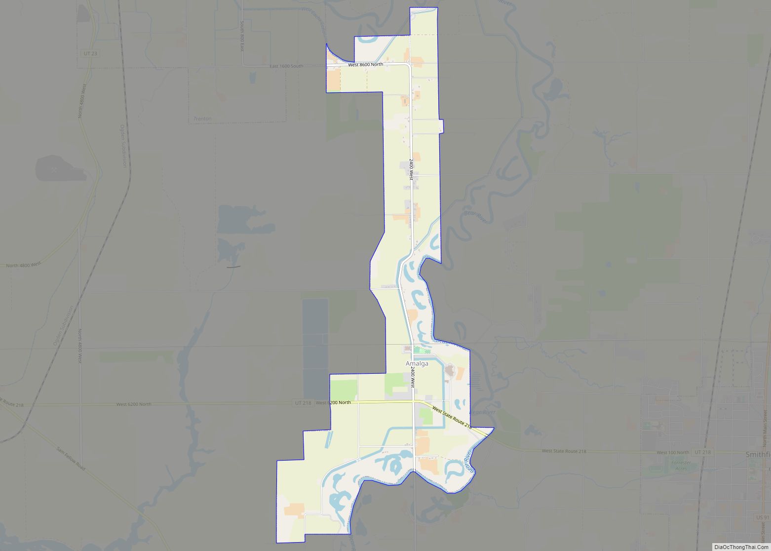
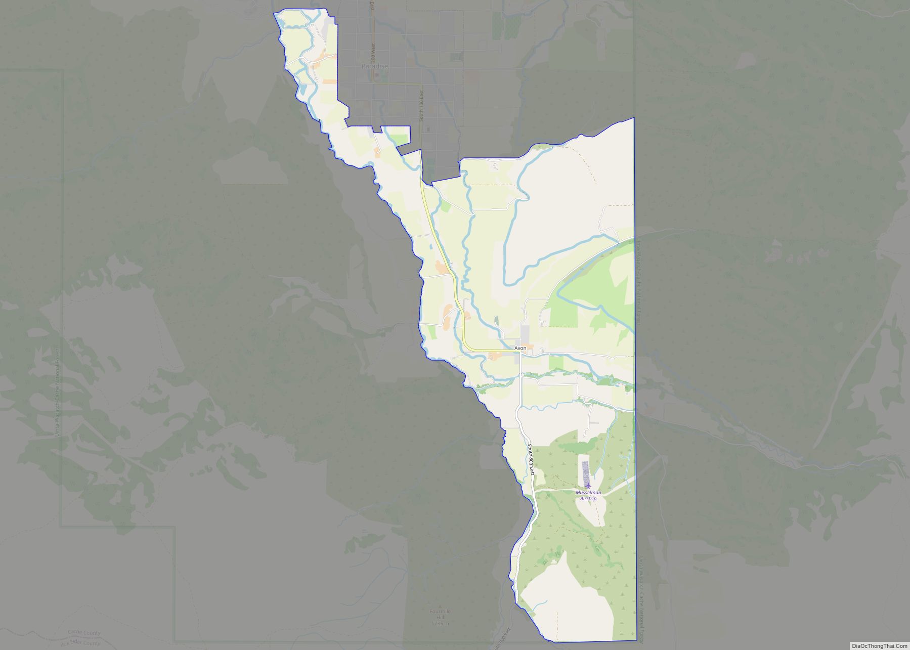
Richmond Road Map
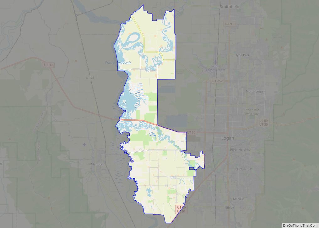
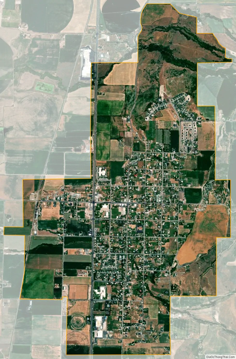
Richmond city Satellite Map
Geography
According to the United States Census Bureau, the city has a total area of 3.50 square miles (9.06 km), all land.
Climate
This climatic region is typified by large seasonal temperature differences, with hot summers and cold (sometimes severely cold) winters. According to the Köppen Climate Classification system, Richmond has a dry-summer humid continental climate, abbreviated “Dsa” on climate maps.
See also
Map of Utah State and its subdivision: Map of other states:- Alabama
- Alaska
- Arizona
- Arkansas
- California
- Colorado
- Connecticut
- Delaware
- District of Columbia
- Florida
- Georgia
- Hawaii
- Idaho
- Illinois
- Indiana
- Iowa
- Kansas
- Kentucky
- Louisiana
- Maine
- Maryland
- Massachusetts
- Michigan
- Minnesota
- Mississippi
- Missouri
- Montana
- Nebraska
- Nevada
- New Hampshire
- New Jersey
- New Mexico
- New York
- North Carolina
- North Dakota
- Ohio
- Oklahoma
- Oregon
- Pennsylvania
- Rhode Island
- South Carolina
- South Dakota
- Tennessee
- Texas
- Utah
- Vermont
- Virginia
- Washington
- West Virginia
- Wisconsin
- Wyoming