Tropic is a town in Garfield County, Utah, United States, along Utah Scenic Byway 12. As of the 2010 census, the town had a population of 530. Tropic was founded in 1891.
| Name: | Tropic town |
|---|---|
| LSAD Code: | 43 |
| LSAD Description: | town (suffix) |
| State: | Utah |
| County: | Garfield County |
| Elevation: | 6,309 ft (1,923 m) |
| Total Area: | 7.94 sq mi (20.55 km²) |
| Land Area: | 7.91 sq mi (20.50 km²) |
| Water Area: | 0.02 sq mi (0.06 km²) |
| Total Population: | 530 |
| Population Density: | 64.95/sq mi (25.08/km²) |
| ZIP code: | 84776 |
| Area code: | 435 |
| FIPS code: | 4977560 |
| GNISfeature ID: | 1446722 |
| Website: | www.townoftropicut.gov |
Online Interactive Map
Click on ![]() to view map in "full screen" mode.
to view map in "full screen" mode.
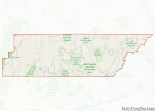
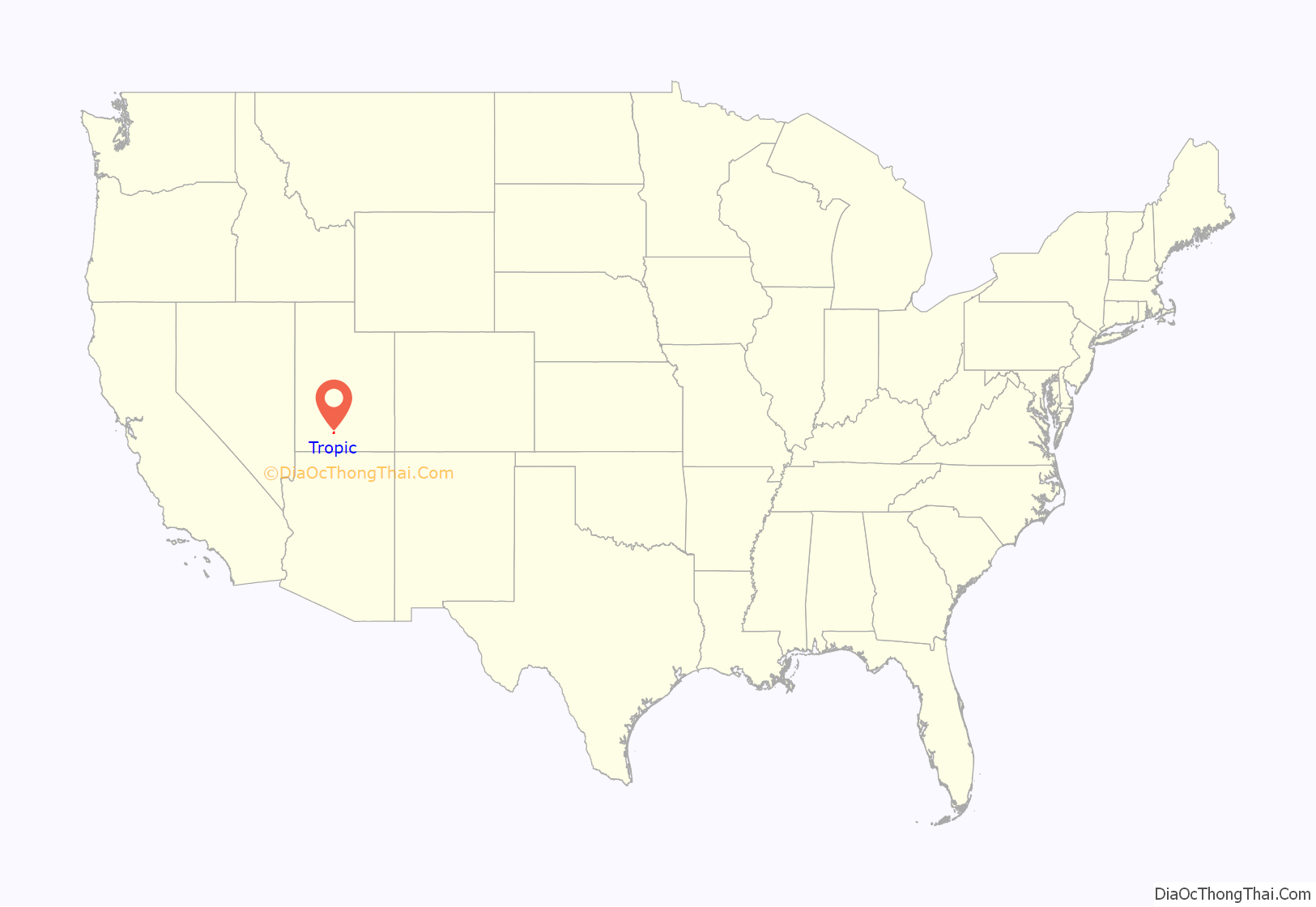
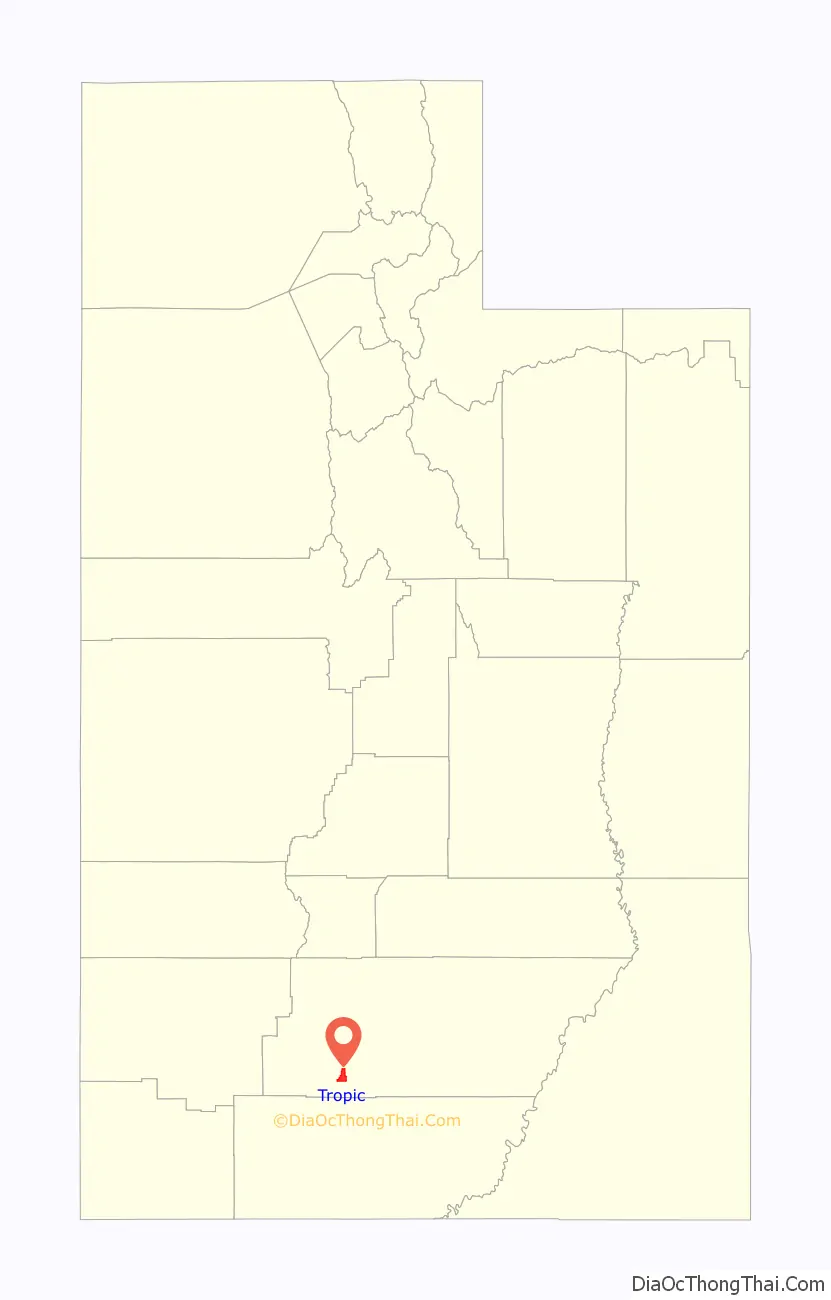
Tropic location map. Where is Tropic town?
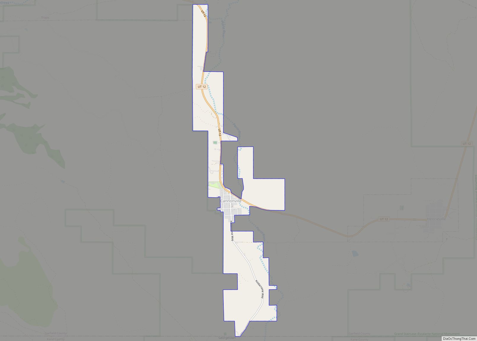
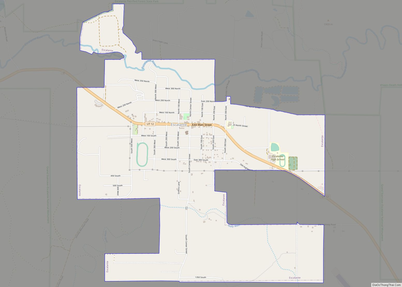
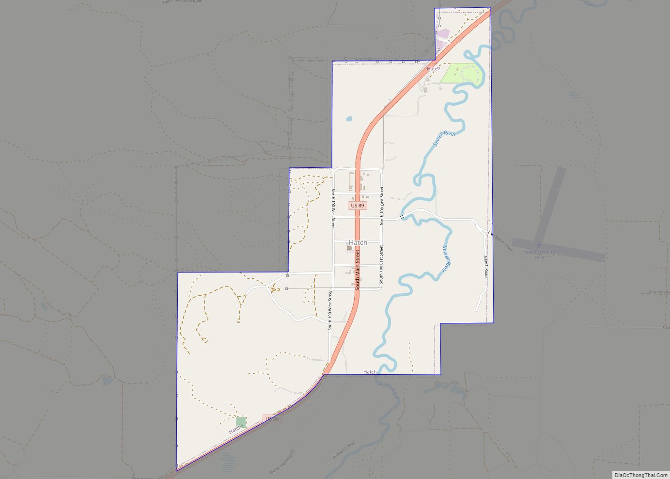
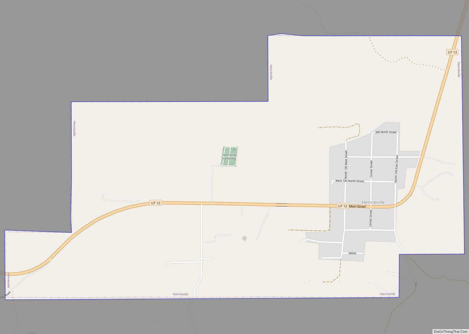
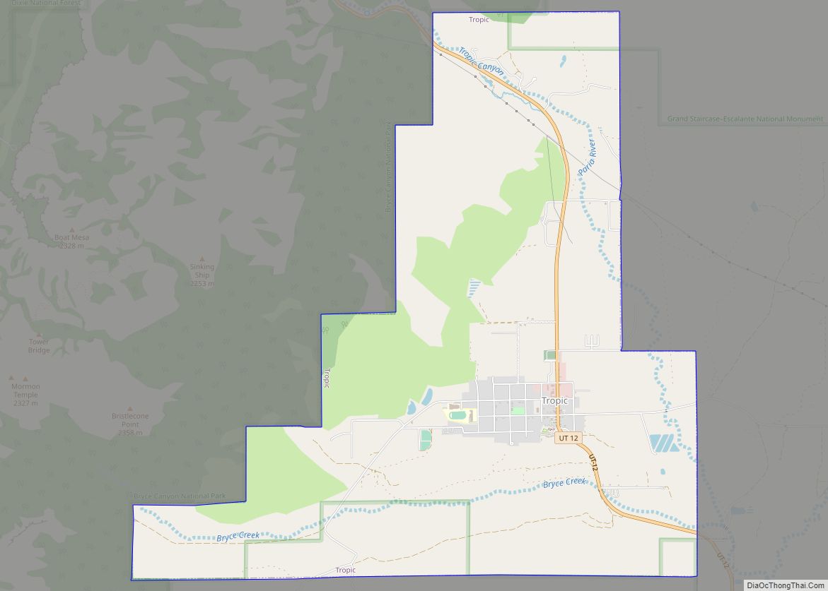
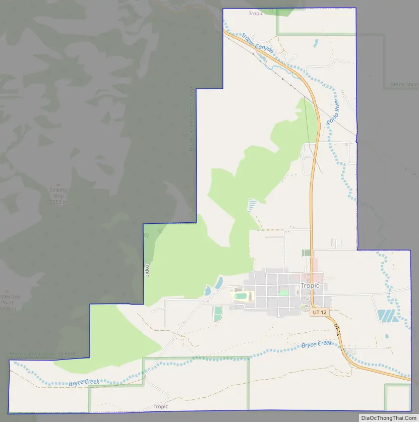
Tropic Road Map
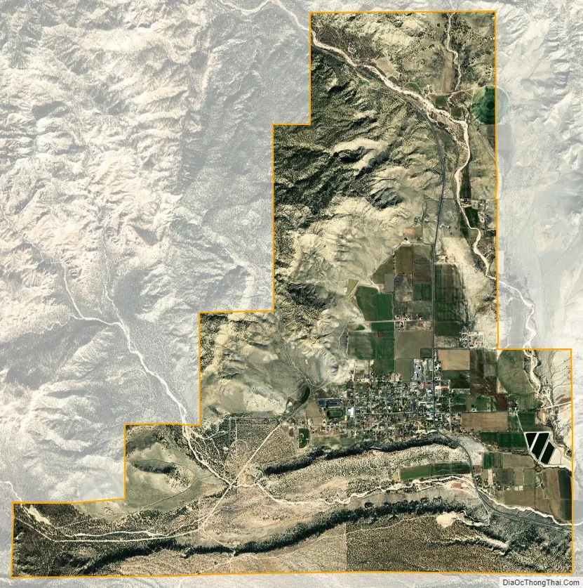
Tropic city Satellite Map
Geography
Tropic is in southern Garfield County along Utah Route 12, 7.5 miles (12.1 km) southeast of Bryce Canyon City and 5 miles (8 km) north of Cannonville. It is in the Tropic Valley, drained by the Paria River, a tributary of the Colorado River.
According to the United States Census Bureau, the town has a total area of 8.4 square miles (21.7 km), of which 0.02 square miles (0.06 km), or 0.26%, are water.
See also
Map of Utah State and its subdivision: Map of other states:- Alabama
- Alaska
- Arizona
- Arkansas
- California
- Colorado
- Connecticut
- Delaware
- District of Columbia
- Florida
- Georgia
- Hawaii
- Idaho
- Illinois
- Indiana
- Iowa
- Kansas
- Kentucky
- Louisiana
- Maine
- Maryland
- Massachusetts
- Michigan
- Minnesota
- Mississippi
- Missouri
- Montana
- Nebraska
- Nevada
- New Hampshire
- New Jersey
- New Mexico
- New York
- North Carolina
- North Dakota
- Ohio
- Oklahoma
- Oregon
- Pennsylvania
- Rhode Island
- South Carolina
- South Dakota
- Tennessee
- Texas
- Utah
- Vermont
- Virginia
- Washington
- West Virginia
- Wisconsin
- Wyoming