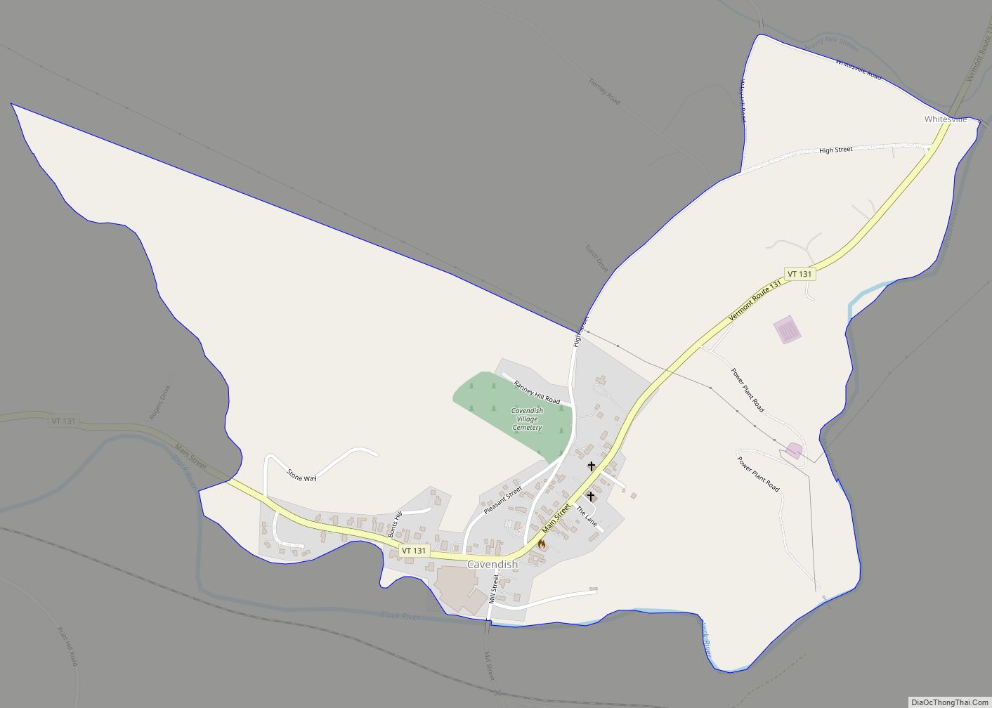
Cavendish is a census-designated place, the central village of the town of Cavendish, Windsor County, Vermont, United States. Until the mid–nineteenth century it was known as Duttonsville. As of the 2010 census, the population of the CDP was 179, compared to 1,367 for the entire town of Cavendish.
Cavendish is the site of the 1848 accident where Phineas Gage got an iron rod shot through his skull while preparing a railroad bed. He survived, and after treatment became a case study for brain researchers. The town has erected a memorial to Gage. The town is also the birth place of Nettie Stevens, the scientist who discovered the Y chromosome.
| Name: | Cavendish CDP |
|---|---|
| LSAD Code: | 57 |
| LSAD Description: | CDP (suffix) |
| State: | Vermont |
| County: | Windsor County |
| Elevation: | 890 ft (270 m) |
| Total Area: | 0.7 sq mi (1.7 km²) |
| Land Area: | 0.7 sq mi (1.7 km²) |
| Water Area: | 0.0 sq mi (0.0 km²) |
| Total Population: | 179 |
| Population Density: | 270/sq mi (110/km²) |
| ZIP code: | 05142 |
| Area code: | 802 |
| FIPS code: | 5012175 |
| GNISfeature ID: | 1456794 |
Online Interactive Map
Click on ![]() to view map in "full screen" mode.
to view map in "full screen" mode.
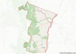
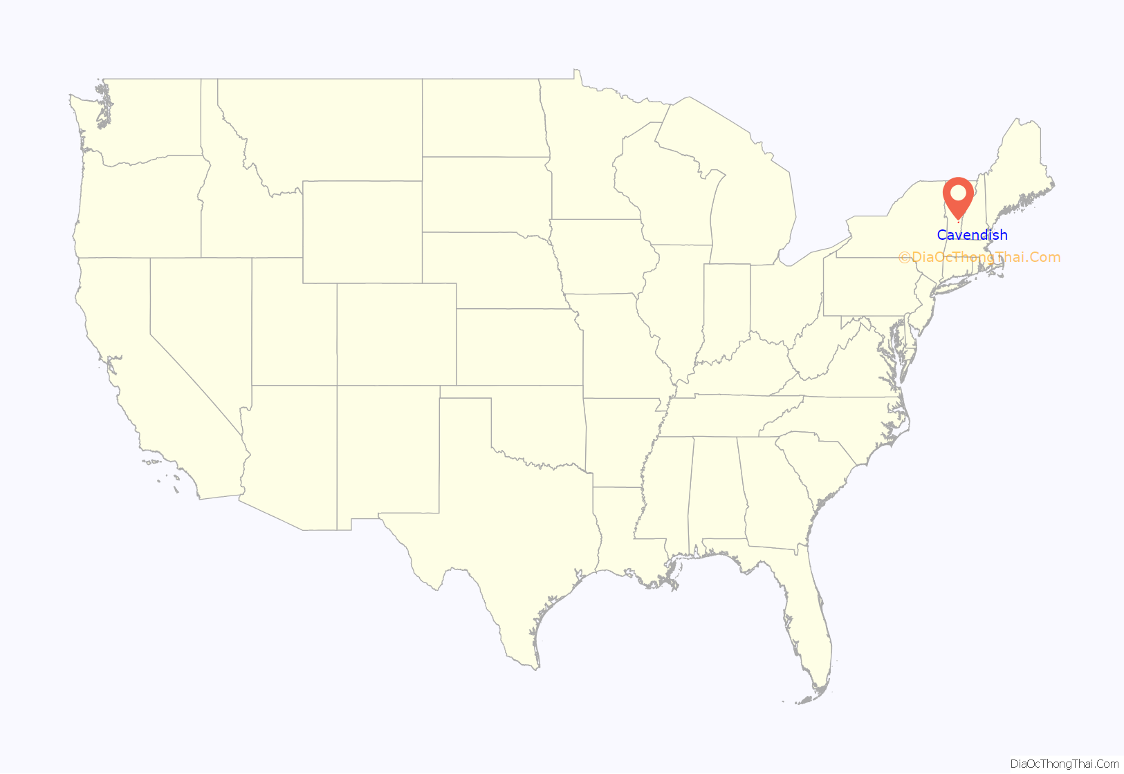
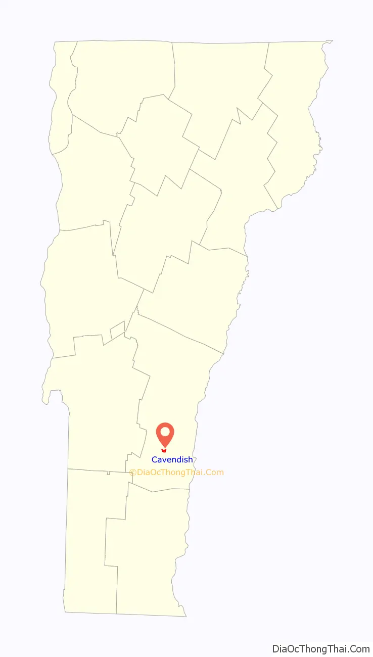
Cavendish location map. Where is Cavendish CDP?
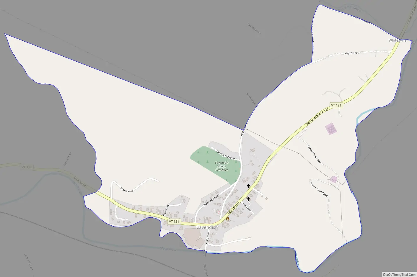
Cavendish Road Map
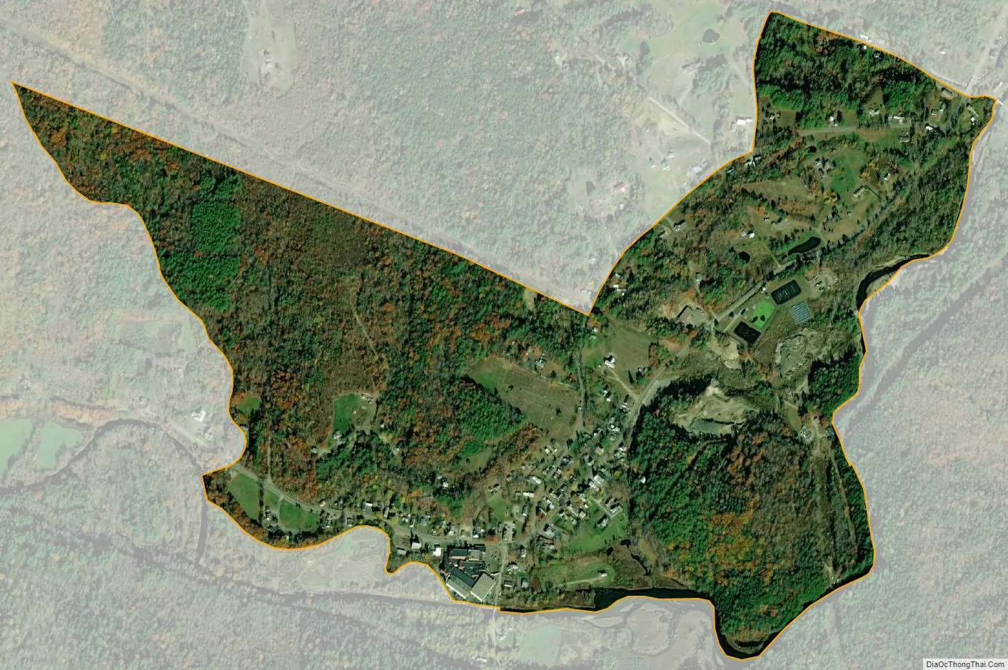
Cavendish city Satellite Map
Geography
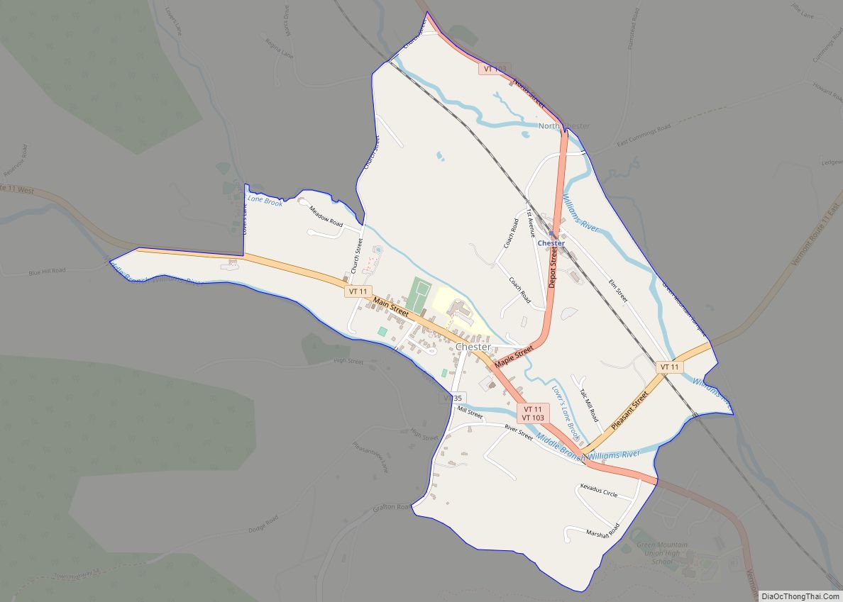
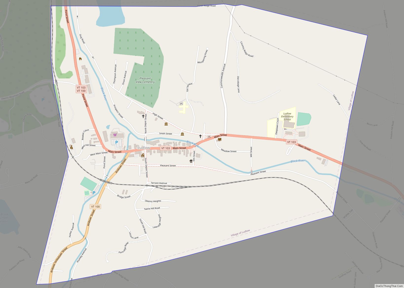
Cavendish is located along Vermont Route 131 in the Black River valley. Route 131 heads west to Proctorsville, a larger village within the town of Cavendish, then connects with Vermont Route 103 to Ludlow. To the east, Route 131 leads to the village of Ascutney on the Connecticut River.
See also
Map of Vermont State and its subdivision: Map of other states:- Alabama
- Alaska
- Arizona
- Arkansas
- California
- Colorado
- Connecticut
- Delaware
- District of Columbia
- Florida
- Georgia
- Hawaii
- Idaho
- Illinois
- Indiana
- Iowa
- Kansas
- Kentucky
- Louisiana
- Maine
- Maryland
- Massachusetts
- Michigan
- Minnesota
- Mississippi
- Missouri
- Montana
- Nebraska
- Nevada
- New Hampshire
- New Jersey
- New Mexico
- New York
- North Carolina
- North Dakota
- Ohio
- Oklahoma
- Oregon
- Pennsylvania
- Rhode Island
- South Carolina
- South Dakota
- Tennessee
- Texas
- Utah
- Vermont
- Virginia
- Washington
- West Virginia
- Wisconsin
- Wyoming