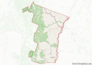
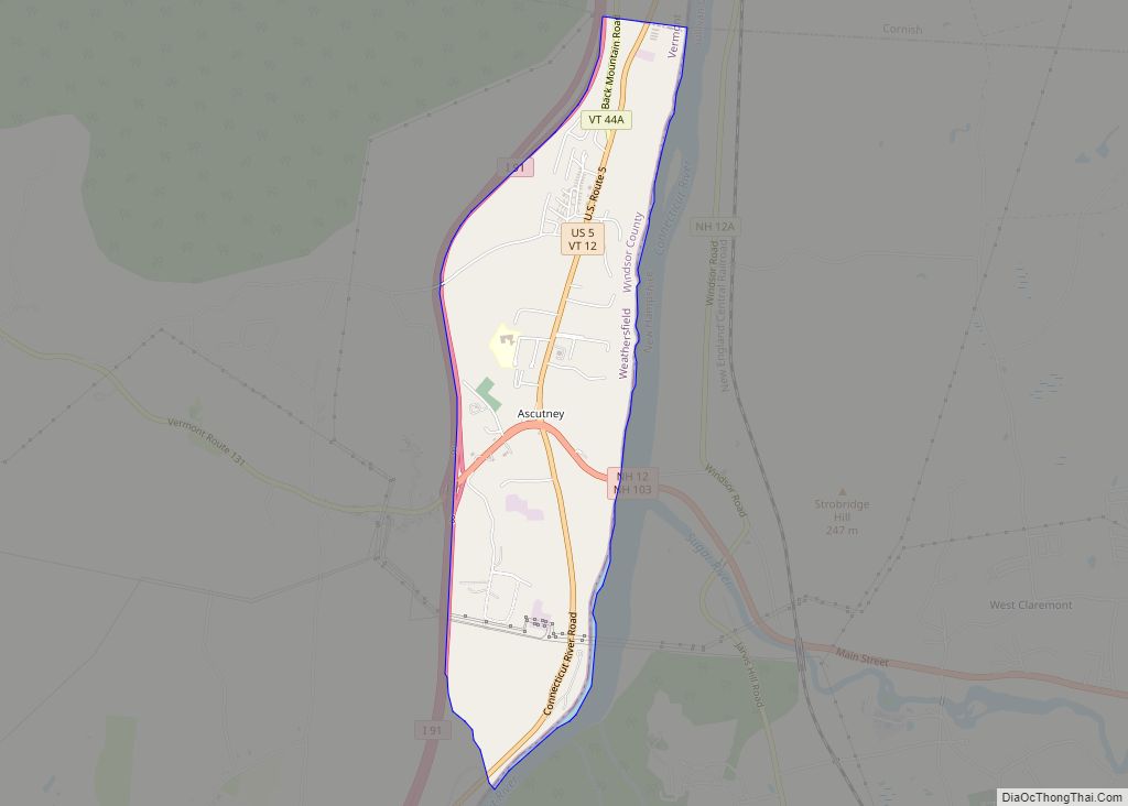
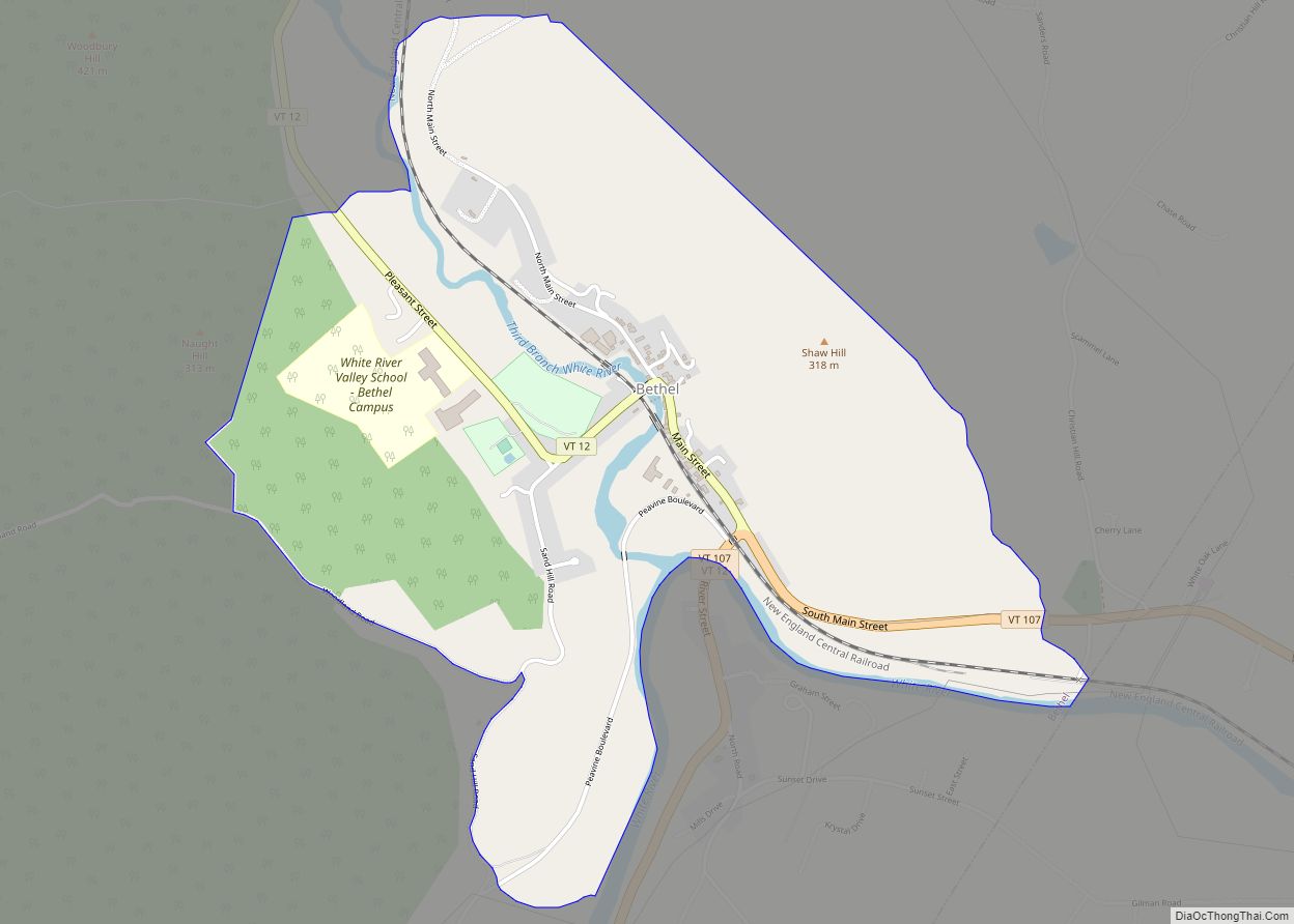
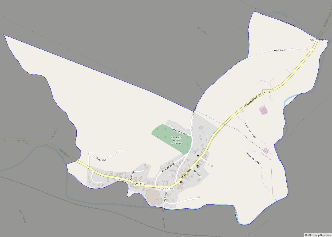
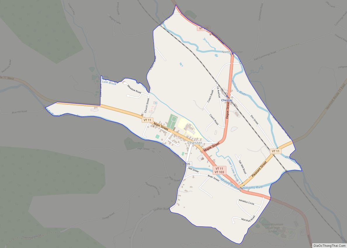
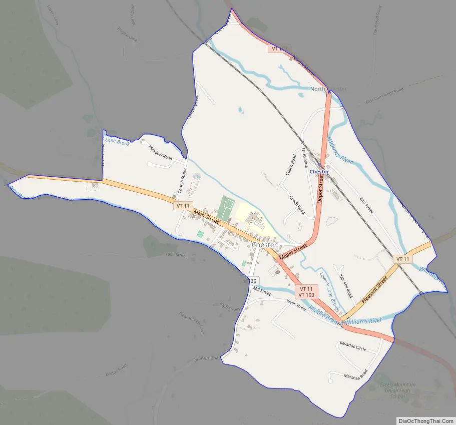
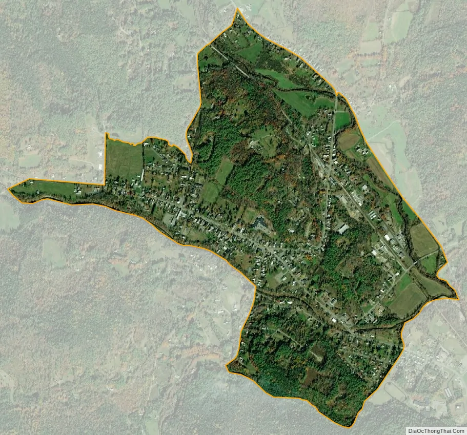
Chester is a census-designated place (CDP) in Windsor County, Vermont, United States. The population was 1,005 at the 2010 census. The CDP is a statistical area encompassing three distinct places: the urbanized center of the town of Chester; a locale known as Chester Depot, which is separated from the town center by the tracks of the former Rutland Railroad; and the village of North Chester.
For many years, the Steamtown rail collection ran train excursions on these tracks between Chester Depot and Bellows Falls before relocating to Pennsylvania. Today, Vermont Rail System operates freight trains along the line, and the depot is still visited by passengers riding the Green Mountain Flyer, also operated by VTR.
Chester Depot is known for the Stone Village, a street with several stone houses built in similar style. Stone was an uncommon building material in rural Vermont.
| Name: | Chester CDP |
|---|---|
| LSAD Code: | 57 |
| LSAD Description: | CDP (suffix) |
| State: | Vermont |
| County: | Windsor County |
| Elevation: | 623 ft (190 m) |
| Total Area: | 1.3 sq mi (3.4 km²) |
| Land Area: | 1.3 sq mi (3.3 km²) |
| Water Area: | 0.04 sq mi (0.1 km²) |
| Total Population: | 1,005 |
| Population Density: | 770/sq mi (300/km²) |
| ZIP code: | 05143, 05144 |
| Area code: | 802 |
| FIPS code: | 5013600 |
| GNISfeature ID: | 1456872 |
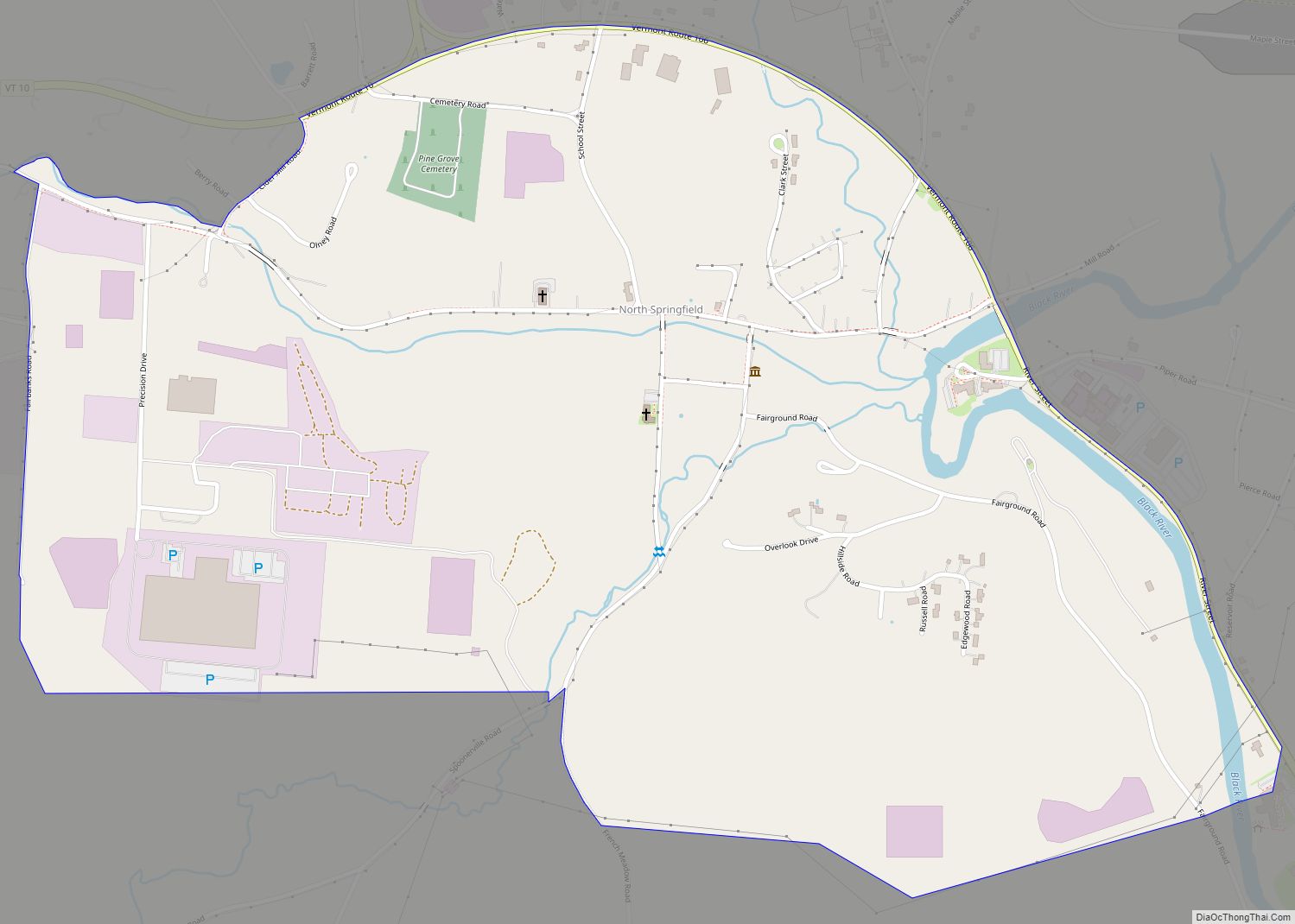
Online Interactive Map
Click on ![]() to view map in "full screen" mode.
to view map in "full screen" mode.
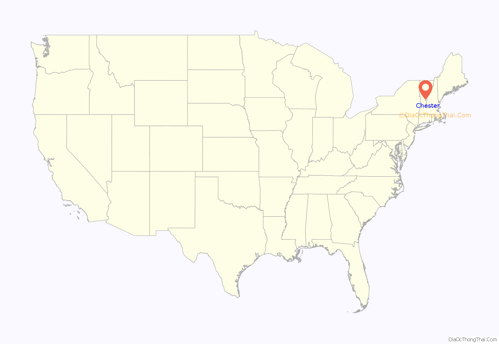
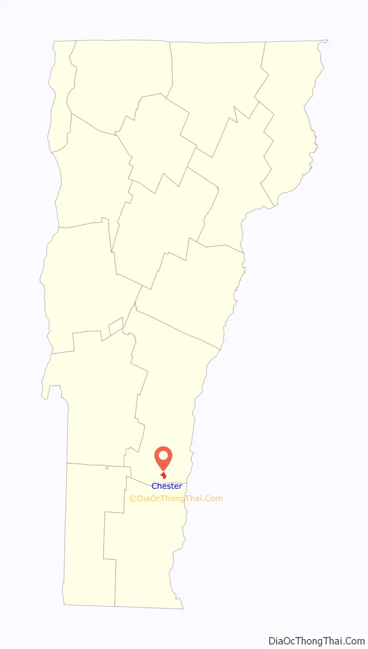
Chester location map. Where is Chester CDP?
Chester Road Map
Chester city Satellite Map
Geography
According to the United States Census Bureau, the CDP has a total area of 3.4 km (1.3 mi), all land.
See also
Map of Vermont State and its subdivision: Map of other states:- Alabama
- Alaska
- Arizona
- Arkansas
- California
- Colorado
- Connecticut
- Delaware
- District of Columbia
- Florida
- Georgia
- Hawaii
- Idaho
- Illinois
- Indiana
- Iowa
- Kansas
- Kentucky
- Louisiana
- Maine
- Maryland
- Massachusetts
- Michigan
- Minnesota
- Mississippi
- Missouri
- Montana
- Nebraska
- Nevada
- New Hampshire
- New Jersey
- New Mexico
- New York
- North Carolina
- North Dakota
- Ohio
- Oklahoma
- Oregon
- Pennsylvania
- Rhode Island
- South Carolina
- South Dakota
- Tennessee
- Texas
- Utah
- Vermont
- Virginia
- Washington
- West Virginia
- Wisconsin
- Wyoming