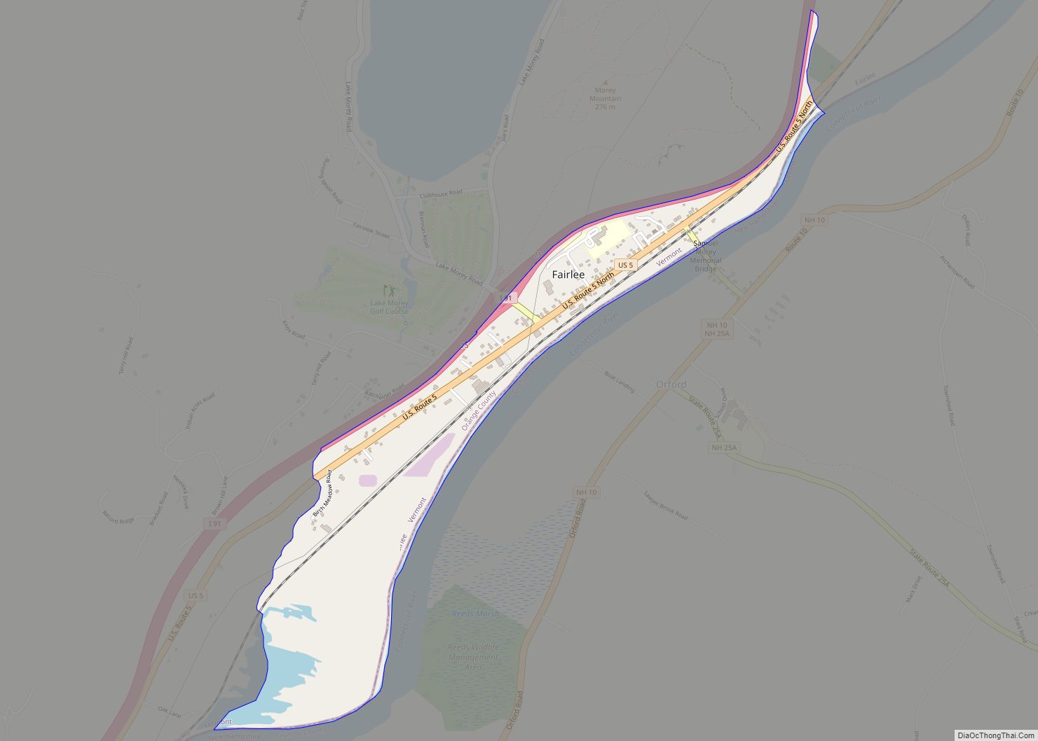
Fairlee is the primary village and a census-designated place (CDP) in the town of Fairlee, Orange County, Vermont, United States. As of the 2020 census, it had a population of 198 out of 988 in the entire town of Fairlee.
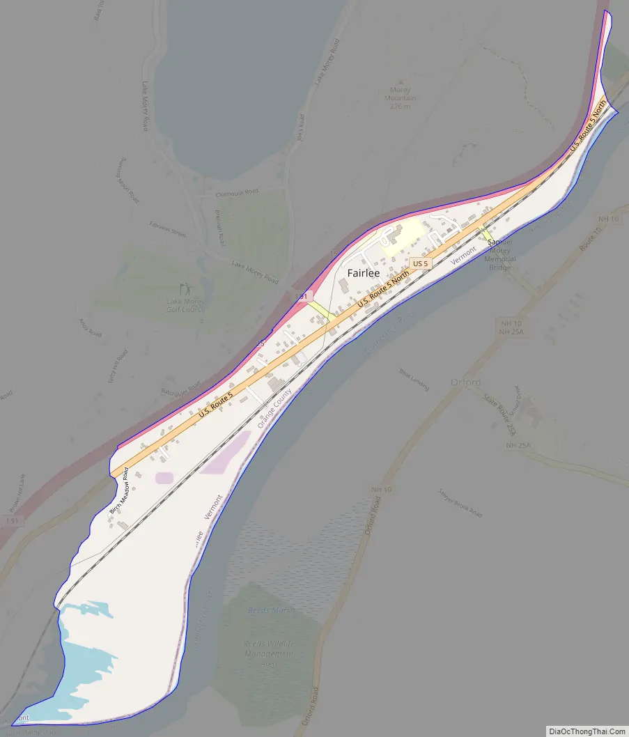
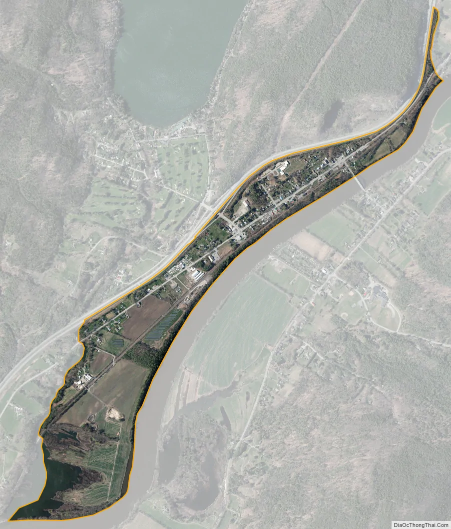
The CDP is on the eastern edge Orange County, in the southeast part of the town of Fairlee. It is bordered to the east by the Connecticut River, which forms the Vermont–New Hampshire border. The town of Orford, New Hampshire, is to the east across the river. U.S. Route 5 passes through the center of the village, and Interstate 91 runs along the western edge. Both highways lead north 7 miles (11 km) to Bradford and south the same distance to Thetford. Vermont Route 25A leads east 350 feet (110 m) to the Samuel Morey Memorial Bridge across the Connecticut River, at which point it becomes New Hampshire Route 25A, leading into Orford.
| Name: | Fairlee CDP |
|---|---|
| LSAD Code: | 57 |
| LSAD Description: | CDP (suffix) |
| State: | Vermont |
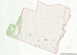
| County: | Orange County |
| Elevation: | 430 ft (130 m) |
| Total Area: | 0.66 sq mi (1.71 km²) |
| Land Area: | 0.60 sq mi (1.56 km²) |
| Water Area: | 0.06 sq mi (0.15 km²) |
| ZIP code: | 05045 |
| Area code: | 802 |
| FIPS code: | 5025600 |
| GNISfeature ID: | 2586631 |
Online Interactive Map
Click on ![]() to view map in "full screen" mode.
to view map in "full screen" mode.
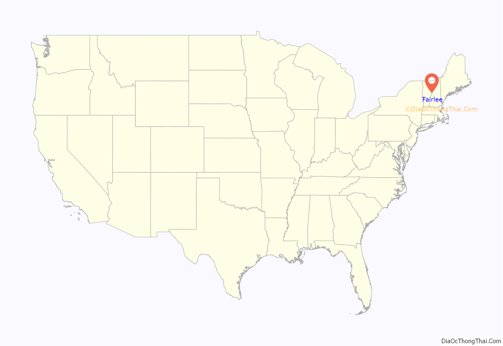
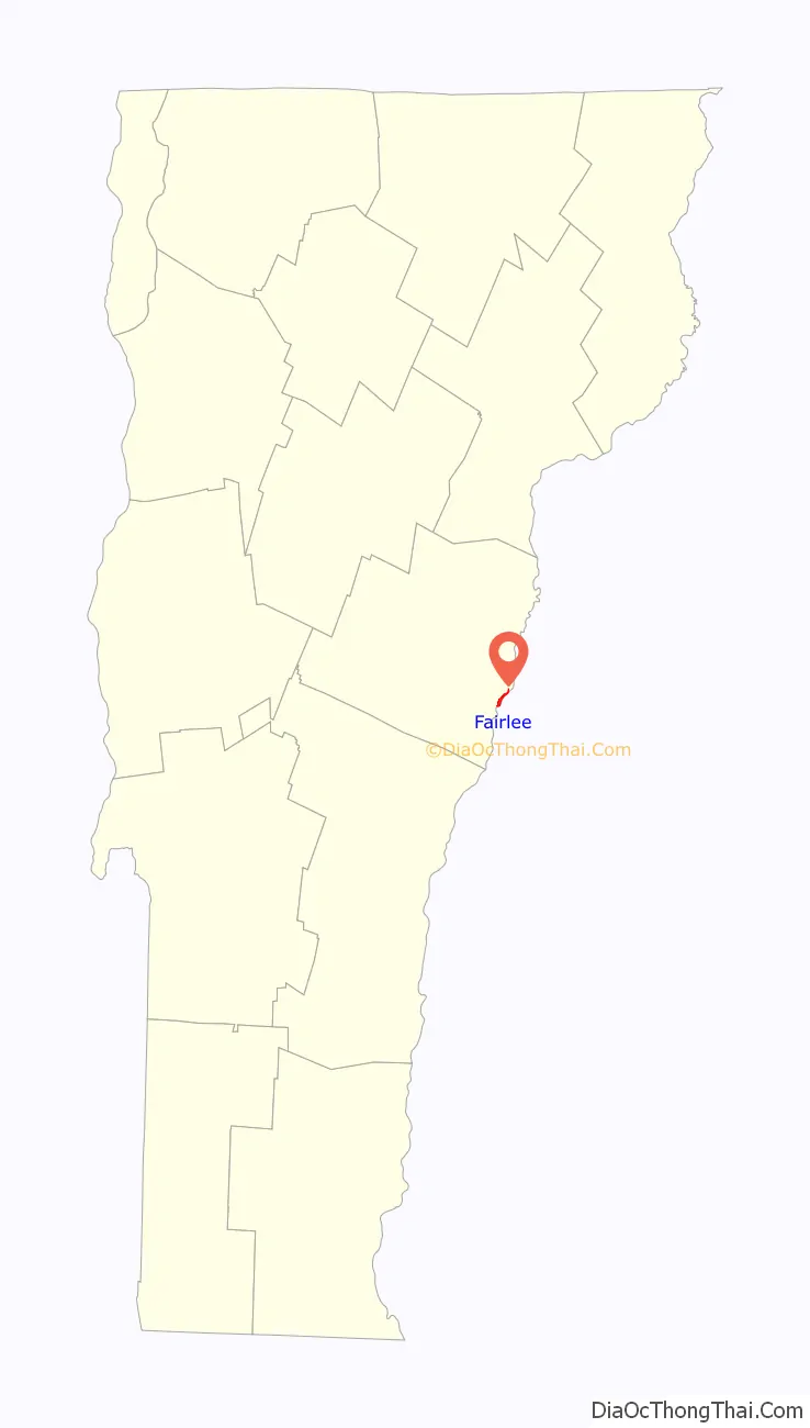
Fairlee location map. Where is Fairlee CDP?
Fairlee Road Map
Fairlee city Satellite Map
See also
Map of Vermont State and its subdivision: Map of other states:- Alabama
- Alaska
- Arizona
- Arkansas
- California
- Colorado
- Connecticut
- Delaware
- District of Columbia
- Florida
- Georgia
- Hawaii
- Idaho
- Illinois
- Indiana
- Iowa
- Kansas
- Kentucky
- Louisiana
- Maine
- Maryland
- Massachusetts
- Michigan
- Minnesota
- Mississippi
- Missouri
- Montana
- Nebraska
- Nevada
- New Hampshire
- New Jersey
- New Mexico
- New York
- North Carolina
- North Dakota
- Ohio
- Oklahoma
- Oregon
- Pennsylvania
- Rhode Island
- South Carolina
- South Dakota
- Tennessee
- Texas
- Utah
- Vermont
- Virginia
- Washington
- West Virginia
- Wisconsin
- Wyoming