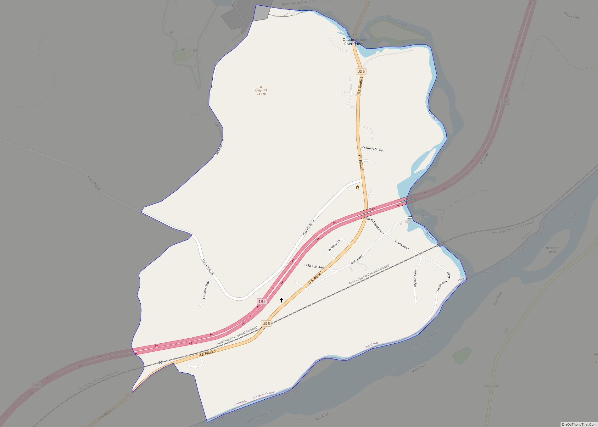
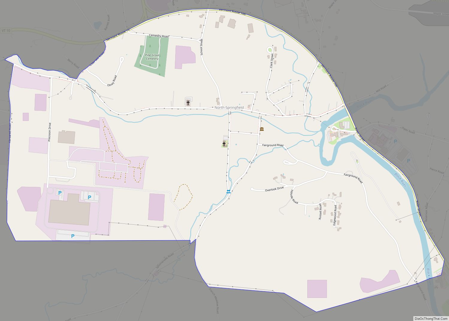
North Springfield is an unincorporated community and census-designated place in the town of Springfield, Windsor County, Vermont, United States. As of the 2010 census, the population of the CDP was 573. It lies at an altitude of 495 feet (151 m). A post office has been operated in North Springfield since 1832. Black River Produce, a major food processor and distributor, is headquartered in the village.
It is the location of the Stellafane Observatory, which is a National Historic Landmark.
| Name: | North Springfield CDP |
|---|---|
| LSAD Code: | 57 |
| LSAD Description: | CDP (suffix) |
| State: | Vermont |
| County: | Windsor County |
| Elevation: | 495 ft (151 m) |
| Total Area: | 1.1 sq mi (2.9 km²) |
| Land Area: | 1.1 sq mi (2.9 km²) |
| Water Area: | 0.04 sq mi (0.1 km²) |
| Total Population: | 573 |
| Population Density: | 510/sq mi (200/km²) |
| ZIP code: | 05150 |
| Area code: | 802 |
| FIPS code: | 5051925 |
| GNISfeature ID: | 1458761 |
Online Interactive Map
Click on ![]() to view map in "full screen" mode.
to view map in "full screen" mode.
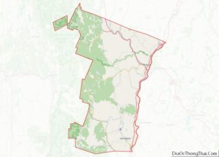
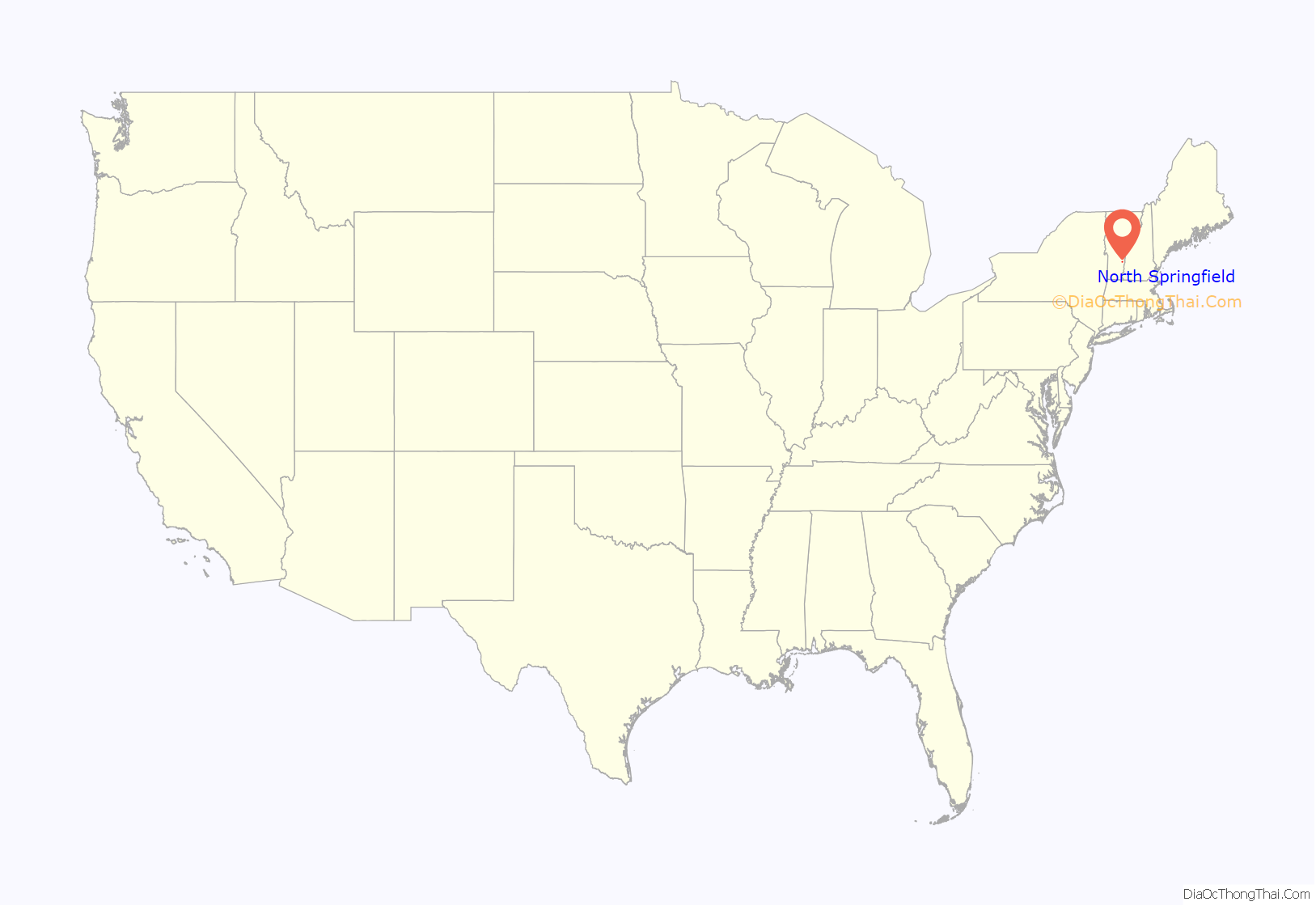
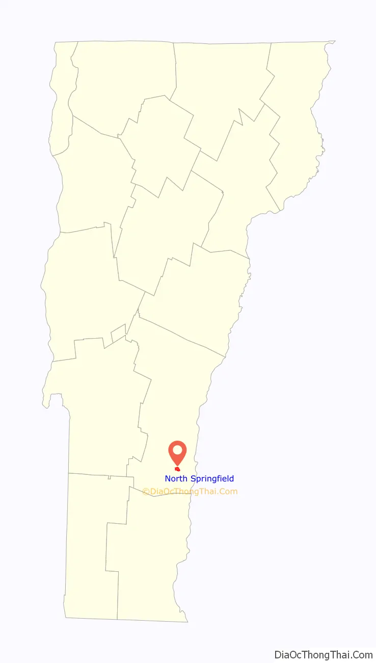
North Springfield location map. Where is North Springfield CDP?
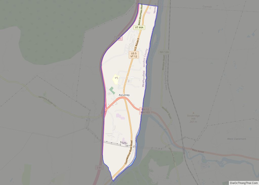
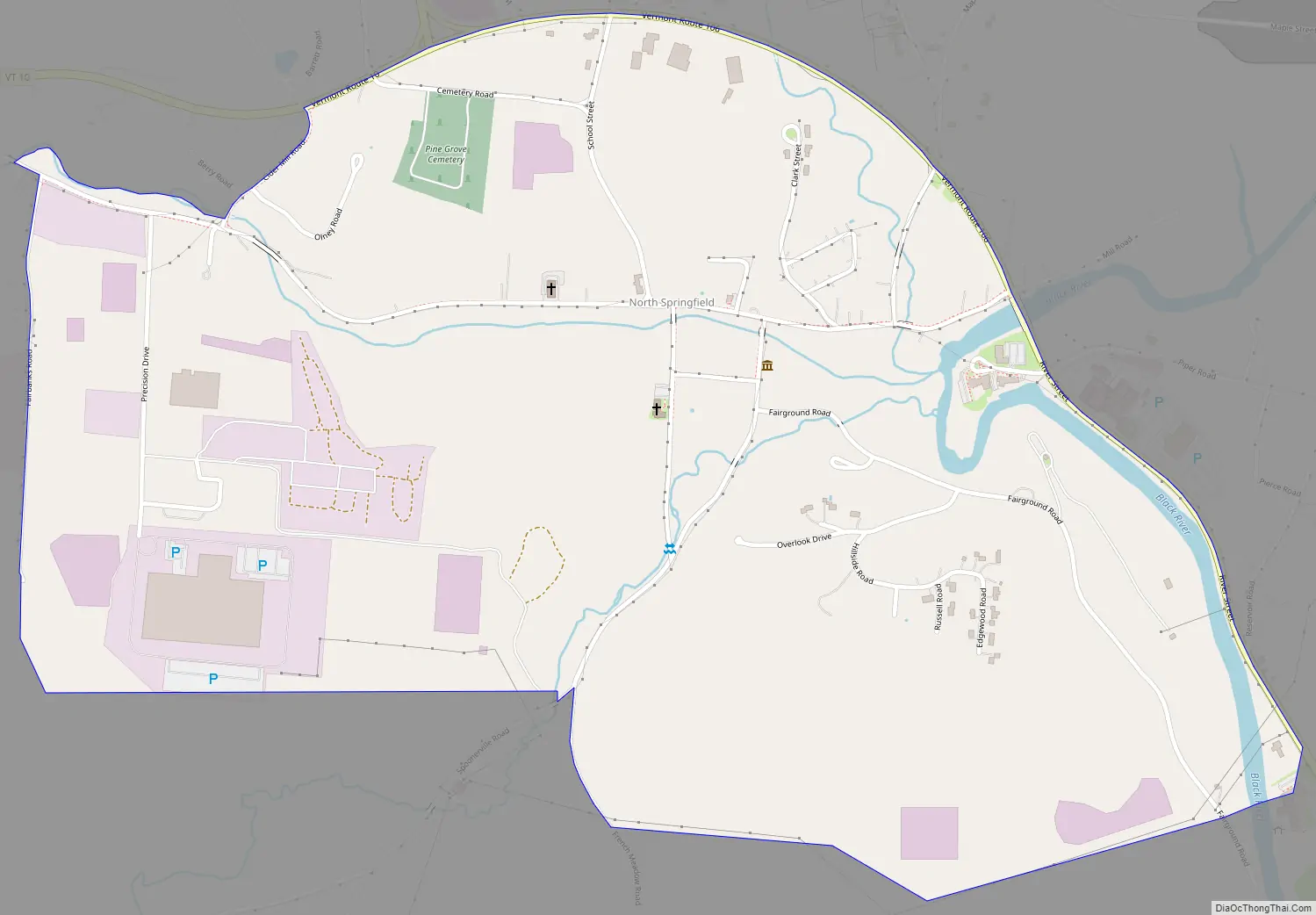
North Springfield Road Map
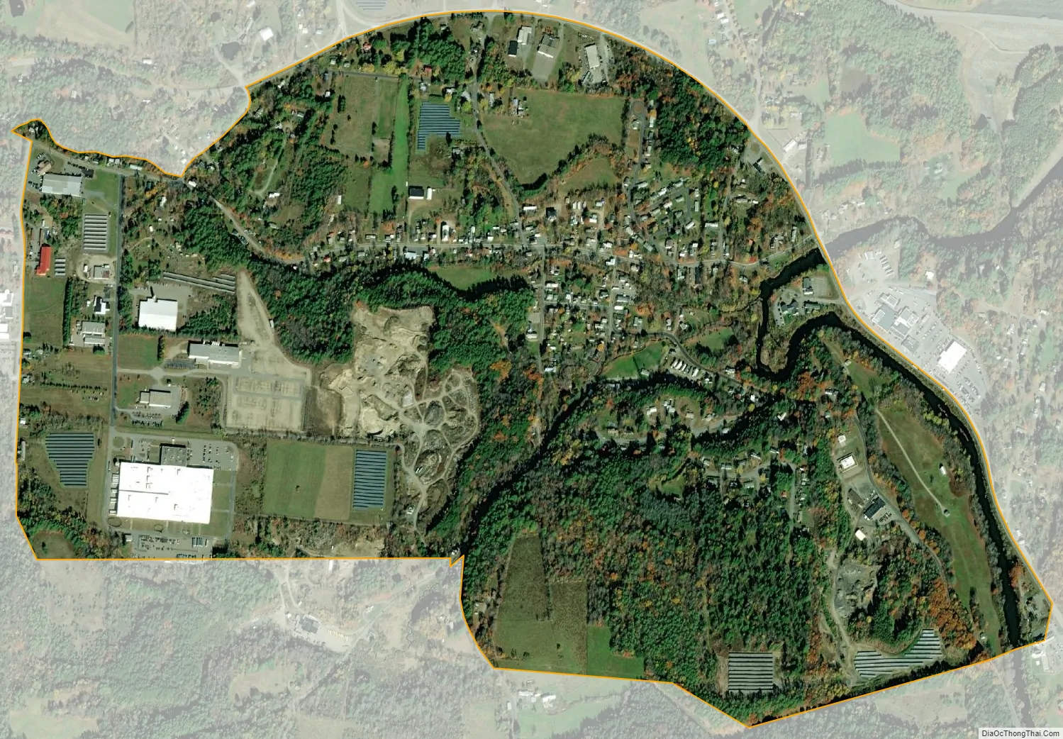
North Springfield city Satellite Map
See also
Map of Vermont State and its subdivision: Map of other states:- Alabama
- Alaska
- Arizona
- Arkansas
- California
- Colorado
- Connecticut
- Delaware
- District of Columbia
- Florida
- Georgia
- Hawaii
- Idaho
- Illinois
- Indiana
- Iowa
- Kansas
- Kentucky
- Louisiana
- Maine
- Maryland
- Massachusetts
- Michigan
- Minnesota
- Mississippi
- Missouri
- Montana
- Nebraska
- Nevada
- New Hampshire
- New Jersey
- New Mexico
- New York
- North Carolina
- North Dakota
- Ohio
- Oklahoma
- Oregon
- Pennsylvania
- Rhode Island
- South Carolina
- South Dakota
- Tennessee
- Texas
- Utah
- Vermont
- Virginia
- Washington
- West Virginia
- Wisconsin
- Wyoming