Rochester is a census-designated place (CDP) that comprises the central village of the town of Rochester, Windsor County, Vermont, United States. As of the 2010 census, the population of the CDP was 299, compared to 1,139 for the entire town of Rochester.
| Name: | Rochester CDP |
|---|---|
| LSAD Code: | 57 |
| LSAD Description: | CDP (suffix) |
| State: | Vermont |
| County: | Windsor County |
| Elevation: | 870 ft (270 m) |
| Total Area: | 0.64 sq mi (1.67 km²) |
| Land Area: | 0.63 sq mi (1.64 km²) |
| Water Area: | 0.01 sq mi (0.03 km²) |
| Total Population: | 299 |
| Population Density: | 460/sq mi (180/km²) |
| ZIP code: | 05767 |
| Area code: | 802 |
| FIPS code: | 5060025 |
| GNISfeature ID: | 1461345 |
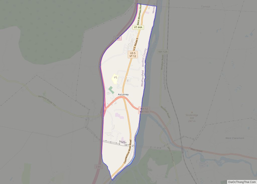
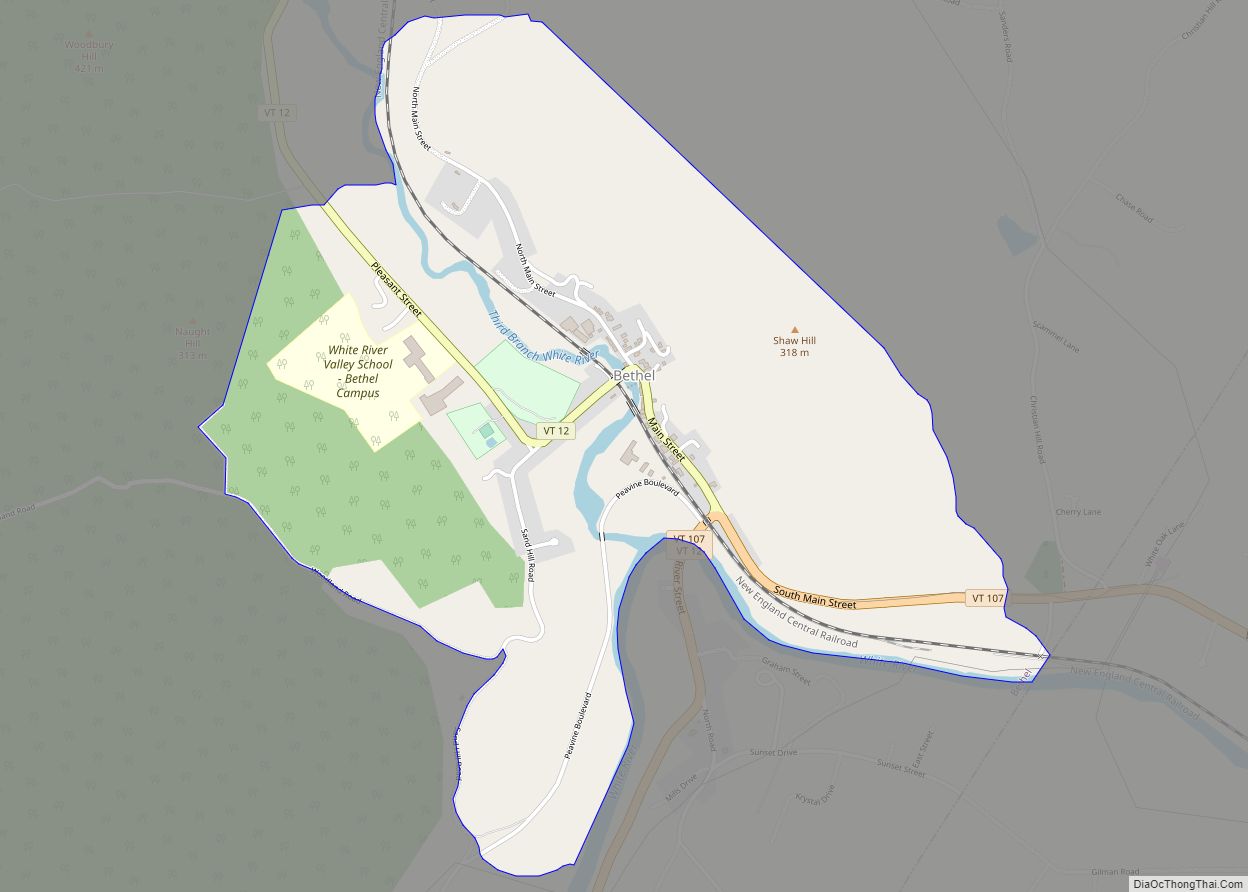
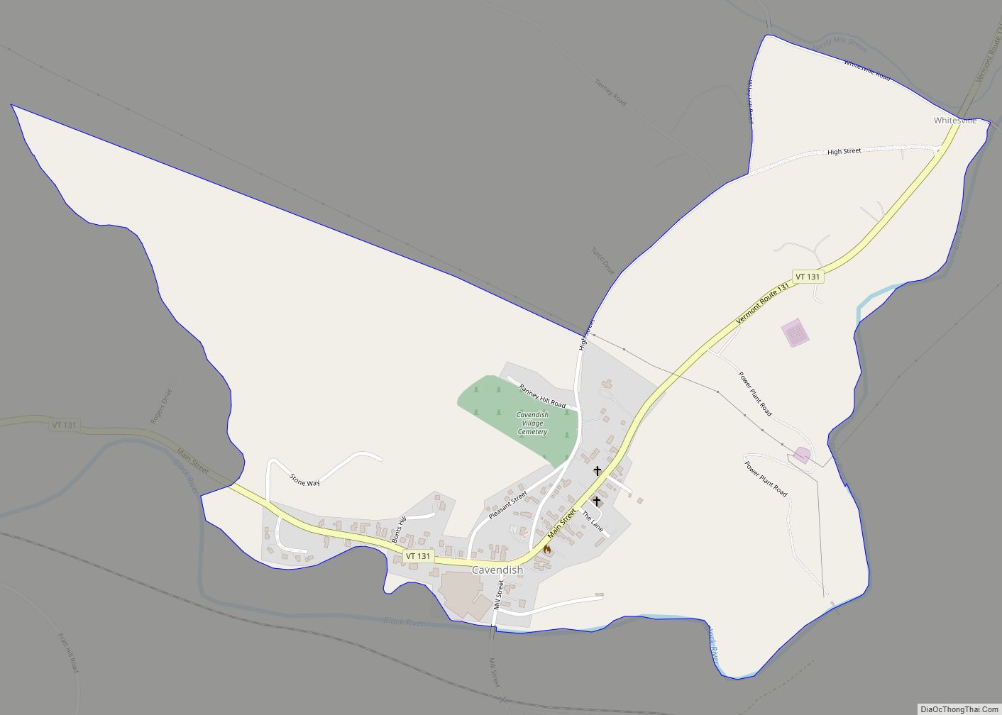
Online Interactive Map
Click on ![]() to view map in "full screen" mode.
to view map in "full screen" mode.
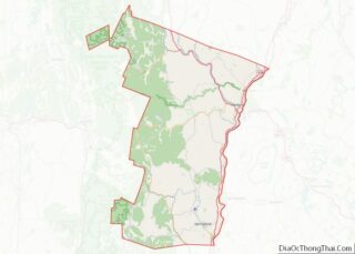
Rochester location map. Where is Rochester CDP?
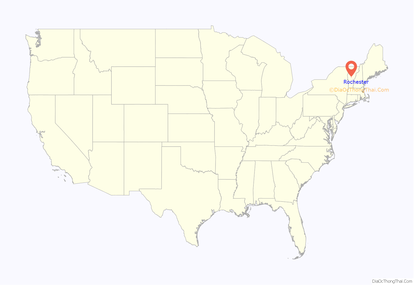
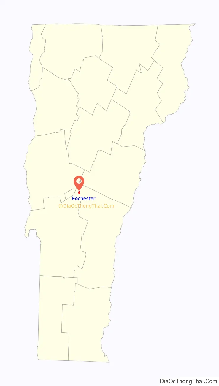
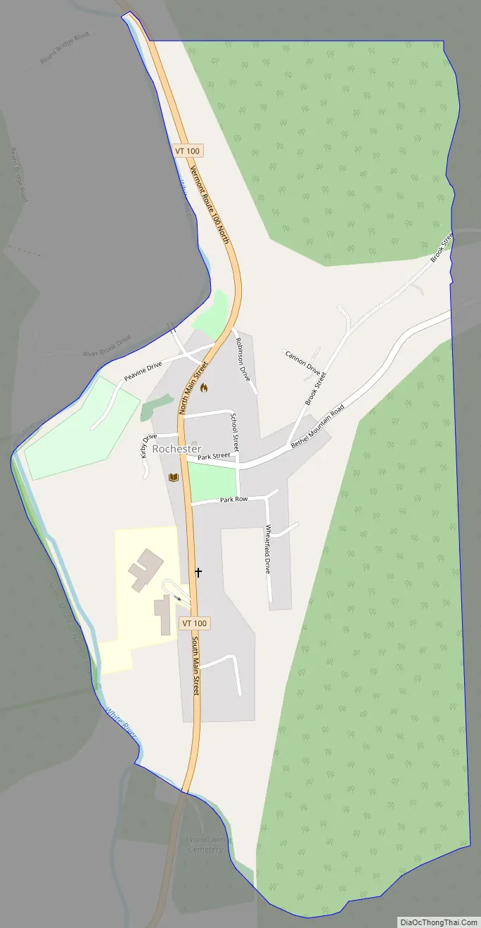
Rochester Road Map
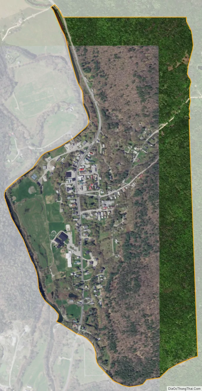
Rochester city Satellite Map
Geography
Rochester is located in extreme northwest Windsor County, along the White River. Vermont Route 100 passes through the village, heading north to Hancock, Granville, and Warren, and south to Stockbridge. Vermont Route 73 leads west from Rochester, crossing the Green Mountains to Brandon.
See also
Map of Vermont State and its subdivision: Map of other states:- Alabama
- Alaska
- Arizona
- Arkansas
- California
- Colorado
- Connecticut
- Delaware
- District of Columbia
- Florida
- Georgia
- Hawaii
- Idaho
- Illinois
- Indiana
- Iowa
- Kansas
- Kentucky
- Louisiana
- Maine
- Maryland
- Massachusetts
- Michigan
- Minnesota
- Mississippi
- Missouri
- Montana
- Nebraska
- Nevada
- New Hampshire
- New Jersey
- New Mexico
- New York
- North Carolina
- North Dakota
- Ohio
- Oklahoma
- Oregon
- Pennsylvania
- Rhode Island
- South Carolina
- South Dakota
- Tennessee
- Texas
- Utah
- Vermont
- Virginia
- Washington
- West Virginia
- Wisconsin
- Wyoming