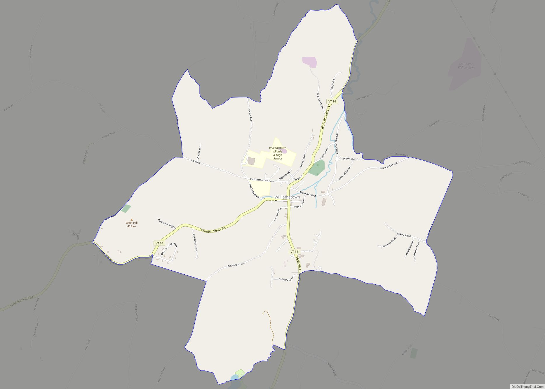
Williamstown is the primary village and a census-designated place (CDP) in the town of Williamstown, Orange County, Vermont, United States. As of the 2020 census, it had a population of 1,264, out of 3,515 in the entire town of Williamstown.
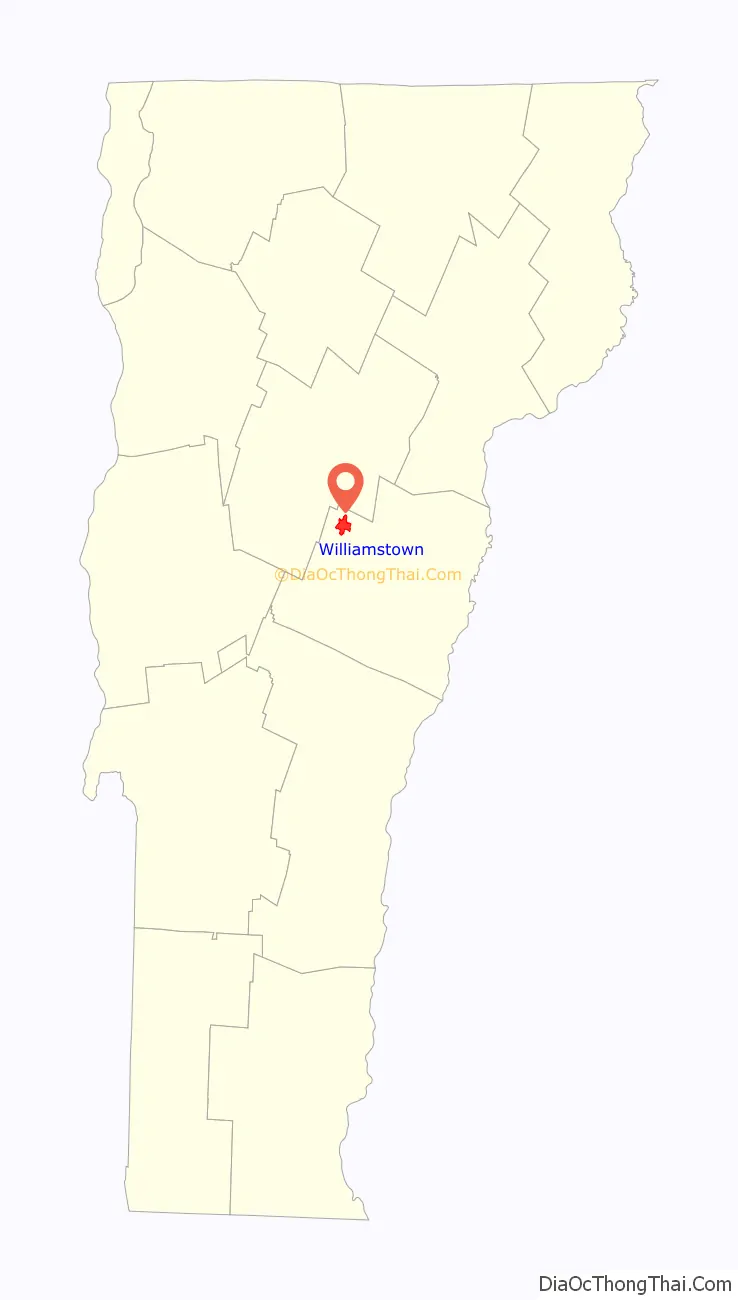
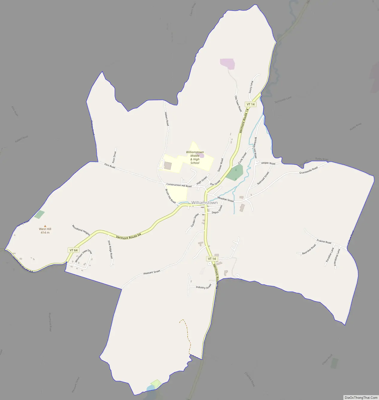
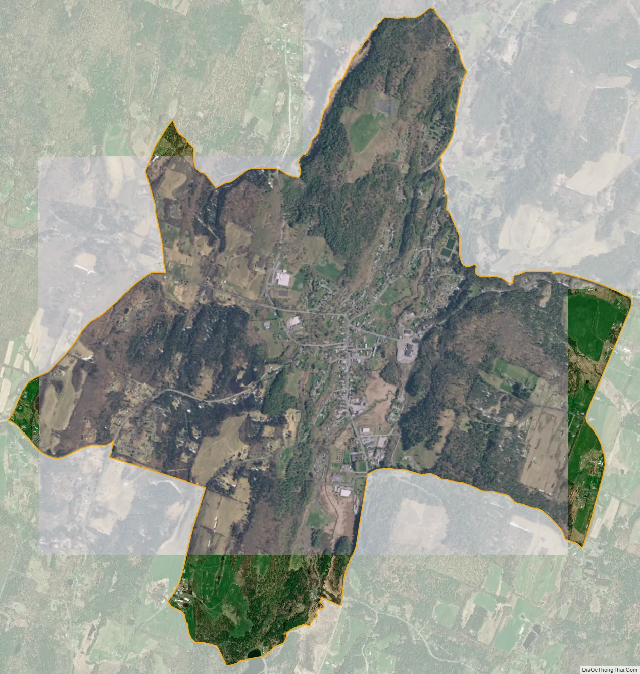
The CDP is in northwestern Orange County, in the north-central part of the town of Williamstown. It is in the valley of the Stevens Branch of the Winooski River, part of the Lake Champlain watershed. Vermont Route 14 passes through the village center, leading north 6 miles (10 km) to Barre and south through Williamstown Gulf 26 miles (42 km) to South Royalton in the White River Valley. Vermont Route 64 leads west from Williamstown village 4 miles (6 km) to Interstate 89.
| Name: | Williamstown CDP |
|---|---|
| LSAD Code: | 57 |
| LSAD Description: | CDP (suffix) |
| State: | Vermont |
| County: | Orange County |
| Elevation: | 872 ft (266 m) |
| Total Area: | 3.36 sq mi (8.71 km²) |
| Land Area: | 3.36 sq mi (8.69 km²) |
| Water Area: | 0.008 sq mi (0.02 km²) |
| ZIP code: | 05679 |
| Area code: | 802 |
| FIPS code: | 5084100 |
| GNISfeature ID: | 2586660 |
Online Interactive Map
Click on ![]() to view map in "full screen" mode.
to view map in "full screen" mode.
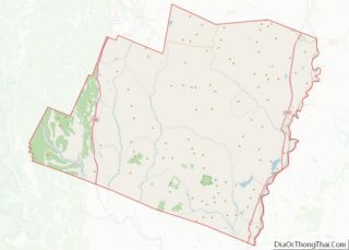
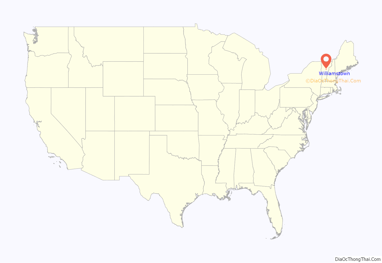
Williamstown location map. Where is Williamstown CDP?
Williamstown Road Map
Williamstown city Satellite Map
See also
Map of Vermont State and its subdivision: Map of other states:- Alabama
- Alaska
- Arizona
- Arkansas
- California
- Colorado
- Connecticut
- Delaware
- District of Columbia
- Florida
- Georgia
- Hawaii
- Idaho
- Illinois
- Indiana
- Iowa
- Kansas
- Kentucky
- Louisiana
- Maine
- Maryland
- Massachusetts
- Michigan
- Minnesota
- Mississippi
- Missouri
- Montana
- Nebraska
- Nevada
- New Hampshire
- New Jersey
- New Mexico
- New York
- North Carolina
- North Dakota
- Ohio
- Oklahoma
- Oregon
- Pennsylvania
- Rhode Island
- South Carolina
- South Dakota
- Tennessee
- Texas
- Utah
- Vermont
- Virginia
- Washington
- West Virginia
- Wisconsin
- Wyoming