Milwaukie /mɪlˈwɔːki/ is a city mostly in Clackamas County, Oregon, United States; a very small portion of the city extends into Multnomah County. The population was 21,119 at the 2020 census. Founded in 1847 on the banks of the Willamette River, the city, known as the Dogwood City of the West, was incorporated in 1903 and is the birthplace of the Bing cherry. The city is now a suburb of Portland and also adjoins the unincorporated areas of Clackamas and Oak Grove.
| Name: | Milwaukie city |
|---|---|
| LSAD Code: | 25 |
| LSAD Description: | city (suffix) |
| State: | Oregon |
| County: | Clackamas County, Multnomah County |
| Incorporated: | 1903 |
| Elevation: | 43 ft (13 m) |
| Total Area: | 5.14 sq mi (13.32 km²) |
| Land Area: | 4.98 sq mi (12.91 km²) |
| Water Area: | 0.16 sq mi (0.41 km²) |
| Total Population: | 21,119 |
| Population Density: | 4,237.36/sq mi (1,636.14/km²) |
| ZIP code: | 97222, 97267, 97269 |
| Area code: | 503 and 971 |
| FIPS code: | 4148650 |
| GNISfeature ID: | 1166682 |
| Website: | www.milwaukieoregon.gov |
Online Interactive Map
Click on ![]() to view map in "full screen" mode.
to view map in "full screen" mode.
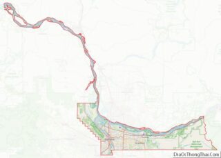
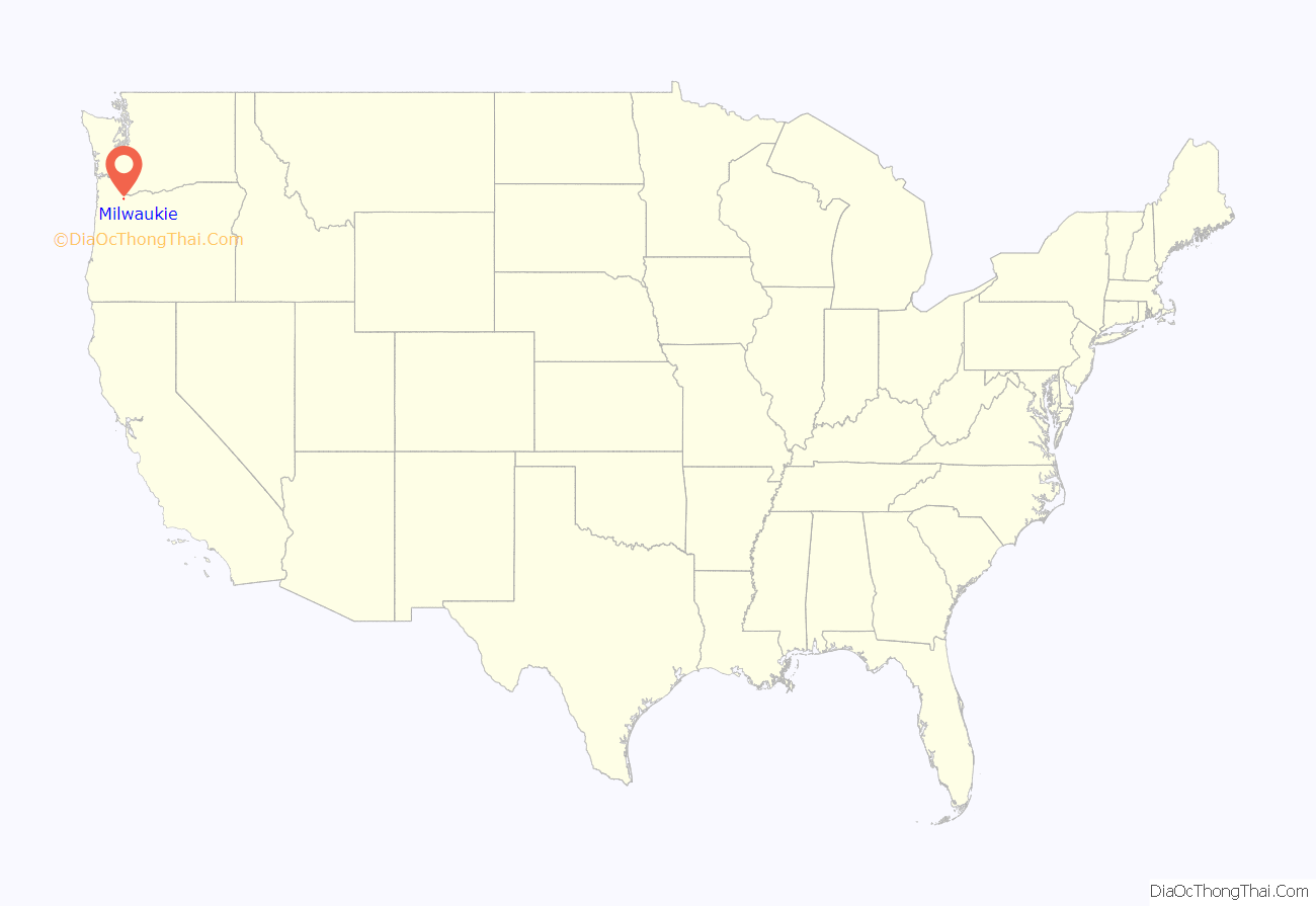
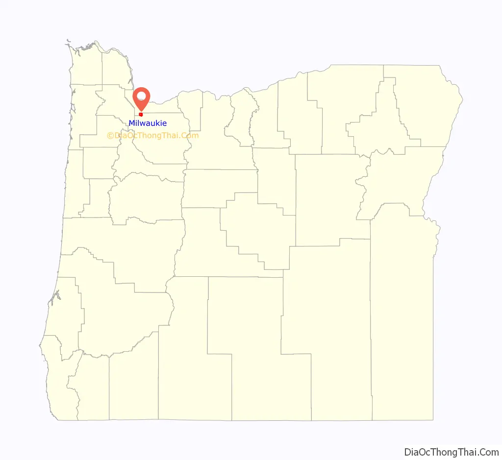
Milwaukie location map. Where is Milwaukie city?
History
Milwaukie was settled in 1847 and formally platted in 1849 as a rival to the upriver Oregon City by Lot Whitcomb, who named it for Milwaukee, Wisconsin. At the time, the Wisconsin city was also frequently spelled “Milwaukie” before the current spelling was adopted. Some accounts also state that the Oregon city used an alternate spelling to prevent confusion at the post office.
Whitcomb arrived in Oregon in 1848 and settled on a donation land claim, where he built a sawmill and a gristmill. Milwaukie rivaled Portland and Oregon City for a time, but Portland eventually became the bigger city because it had a deeper port. The first post office at Milwaukie was established in 1850, with Whitcomb as the first postmaster. The community was incorporated by the Oregon Legislative Assembly on February 4, 1903, originally as the Town of Milwaukie.
The Oregon and California Railroad named their station there Milwaukee in 1870 and corrected it to Milwaukie in 1892. As the city center grew further from the railroad and a branch line was built across the Willamette to Oswego, Milwaukie station was replaced and renamed Lambert for Joseph H. Lambert, a pioneer orchardist who developed the Lambert cherry. The name of the station was changed to East Milwaukee in 1913 and corrected to East Milwaukie in 1916.
The Bing cherry, among other varieties, was developed in Milwaukie by Ah Bing, an orchard foreman employed by Seth Lewelling. A mural in the city commemorates Mr. Bing’s accomplishment.
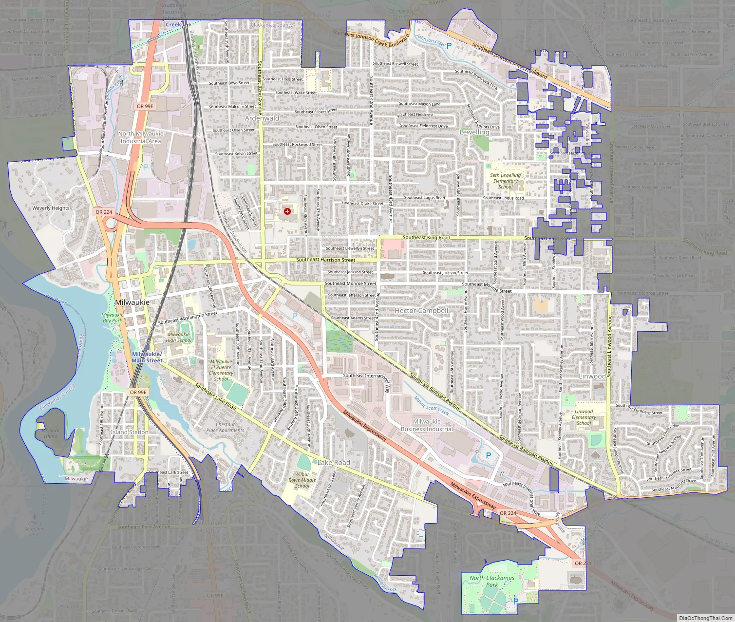
Milwaukie Road Map
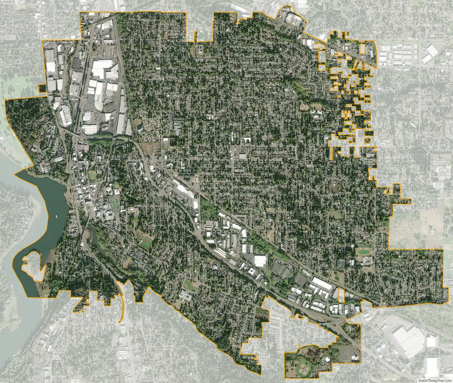
Milwaukie city Satellite Map
Geography
According to the United States Census Bureau, the city has a total area of 4.85 square miles (12.56 km), of which 4.82 square miles (12.48 km) is land and 0.03 square miles (0.08 km) is water. Parks include Dogwood Park, Elk Rock Island, Kronberg Park, Milwaukie Riverfront Park, and Spring Park.
See also
Map of Oregon State and its subdivision: Map of other states:- Alabama
- Alaska
- Arizona
- Arkansas
- California
- Colorado
- Connecticut
- Delaware
- District of Columbia
- Florida
- Georgia
- Hawaii
- Idaho
- Illinois
- Indiana
- Iowa
- Kansas
- Kentucky
- Louisiana
- Maine
- Maryland
- Massachusetts
- Michigan
- Minnesota
- Mississippi
- Missouri
- Montana
- Nebraska
- Nevada
- New Hampshire
- New Jersey
- New Mexico
- New York
- North Carolina
- North Dakota
- Ohio
- Oklahoma
- Oregon
- Pennsylvania
- Rhode Island
- South Carolina
- South Dakota
- Tennessee
- Texas
- Utah
- Vermont
- Virginia
- Washington
- West Virginia
- Wisconsin
- Wyoming