North Plains is a city in Washington County, Oregon, United States, off U.S. 26 on the northwest outskirts of the Portland metropolitan area. The population was 3,441 at the 2020 census.
| Name: | North Plains city |
|---|---|
| LSAD Code: | 25 |
| LSAD Description: | city (suffix) |
| State: | Oregon |
| County: | Washington County |
| Incorporated: | 1963 |
| Elevation: | 176 ft (53.6 m) |
| Total Area: | 1.09 sq mi (2.82 km²) |
| Land Area: | 1.09 sq mi (2.82 km²) |
| Water Area: | 0.00 sq mi (0.00 km²) |
| Total Population: | 3,441 |
| Population Density: | 3,156.88/sq mi (1,218.66/km²) |
| ZIP code: | 97133 |
| Area code: | 503 |
| FIPS code: | 4153150 |
| GNISfeature ID: | 1163180 |
| Website: | www.northplains.org |
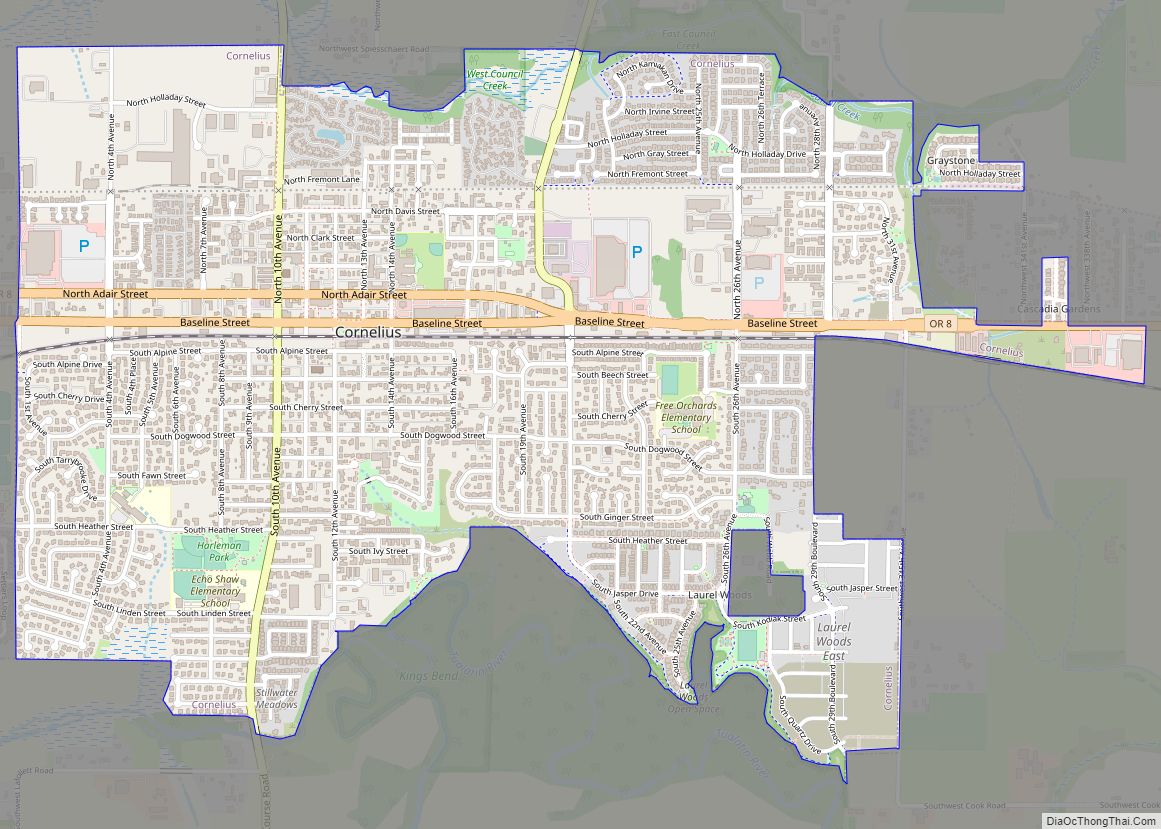
Online Interactive Map
Click on ![]() to view map in "full screen" mode.
to view map in "full screen" mode.
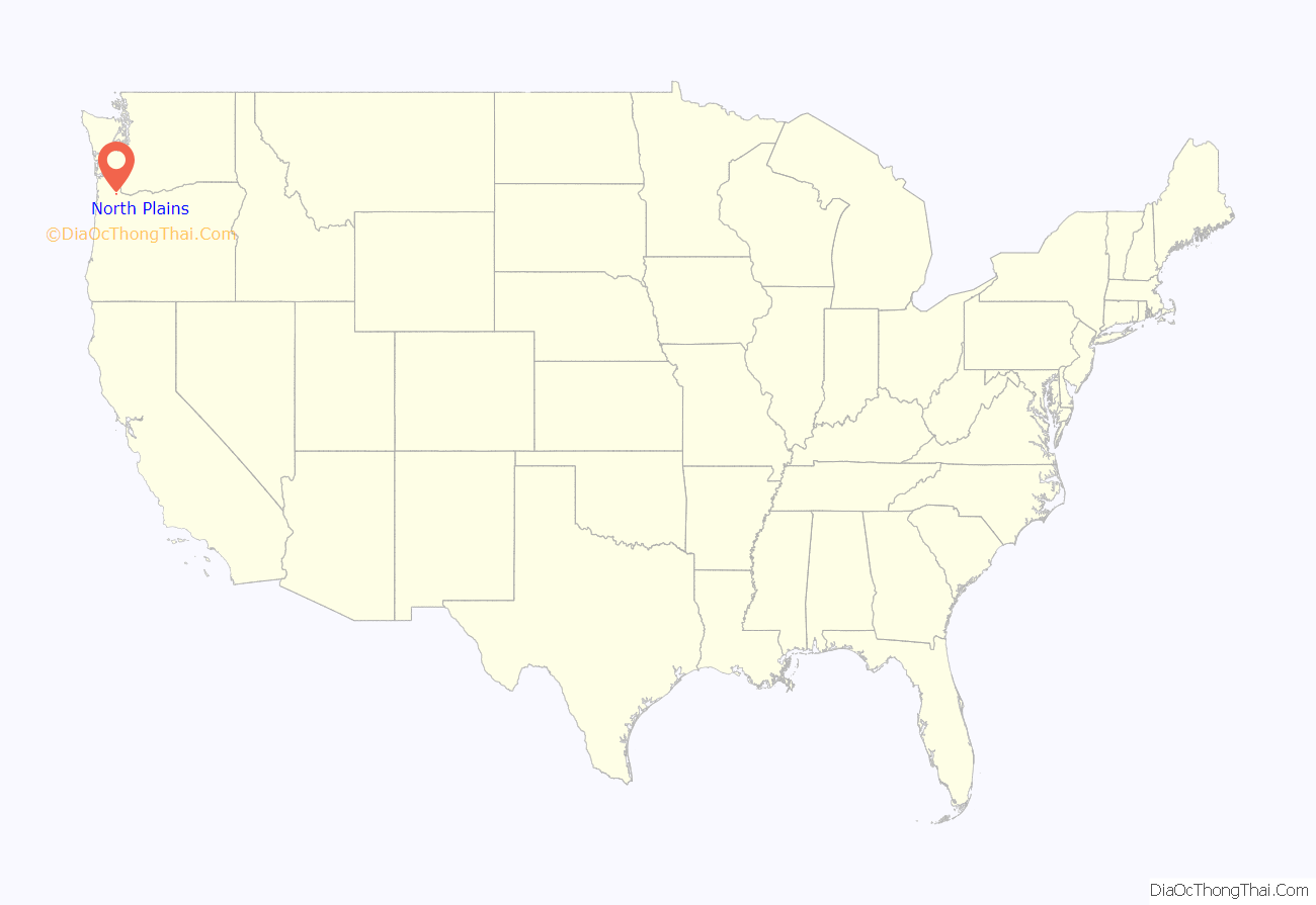
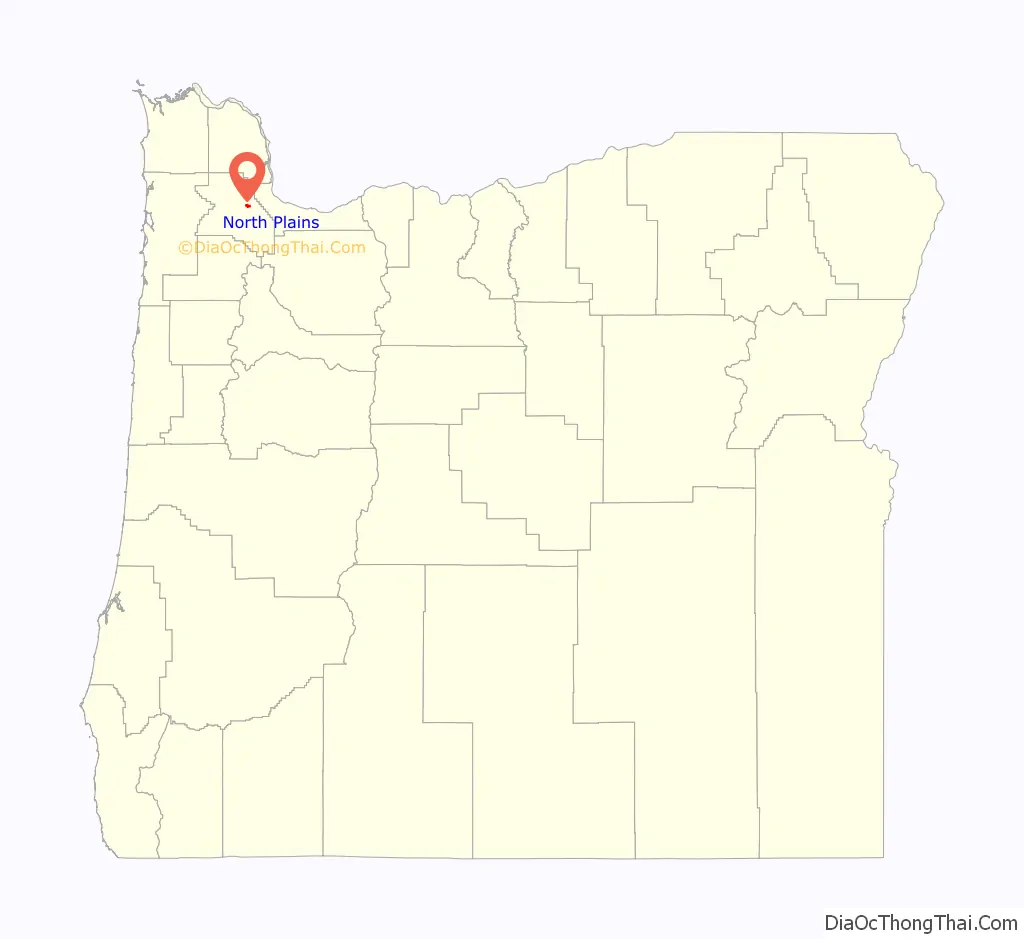
North Plains location map. Where is North Plains city?
History
Pioneer settlers first arrived in the North Plains area in the 1840s. The area to be known as the city of North Plains was platted in September 1910 by the Ruth Trust Company of Portland. They purchased area tracts after James J. Hill planned to extend United Railways there.
On June 25, 1963, North Plains voted 90 to 56 to incorporate as a city; at the time the population was around 500.
Pumpkin Ridge Golf Club is just outside town. David Duval won the Nike Tour Championship there in 1993, and it was home to the U.S. Women’s Open in 1997 and 2003. Horning’s Hideout within the North Plains area was home to Faerieworlds Festival 2004. Pumpkin Ridge Golf Club has become a center of controversy since agreeing to host the first U.S. golf tournament on American soil of LIV Golf , the tour backed by bin Salman and Saudi Arabia’s Public Investment Fund.
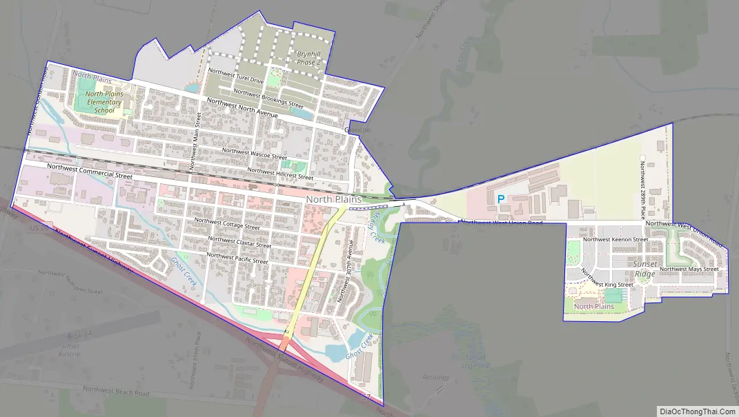
North Plains Road Map
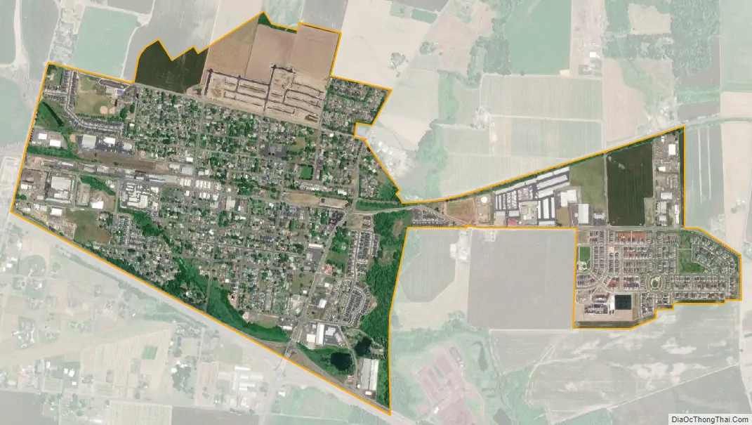
North Plains city Satellite Map
Geography
According to the United States Census Bureau, the city has an area of 0.90 square miles (2.33 km), all land.
Climate
This region has warm, dry summers, with no monthly average temperatures above 71.6 °F (22 °C). However, temperatures are often above 100 °F (38 °C) for several days each year. According to the Köppen Climate Classification system, North Plains has a warm-summer Mediterranean climate, abbreviated “Csb” on climate maps.
See also
Map of Oregon State and its subdivision: Map of other states:- Alabama
- Alaska
- Arizona
- Arkansas
- California
- Colorado
- Connecticut
- Delaware
- District of Columbia
- Florida
- Georgia
- Hawaii
- Idaho
- Illinois
- Indiana
- Iowa
- Kansas
- Kentucky
- Louisiana
- Maine
- Maryland
- Massachusetts
- Michigan
- Minnesota
- Mississippi
- Missouri
- Montana
- Nebraska
- Nevada
- New Hampshire
- New Jersey
- New Mexico
- New York
- North Carolina
- North Dakota
- Ohio
- Oklahoma
- Oregon
- Pennsylvania
- Rhode Island
- South Carolina
- South Dakota
- Tennessee
- Texas
- Utah
- Vermont
- Virginia
- Washington
- West Virginia
- Wisconsin
- Wyoming