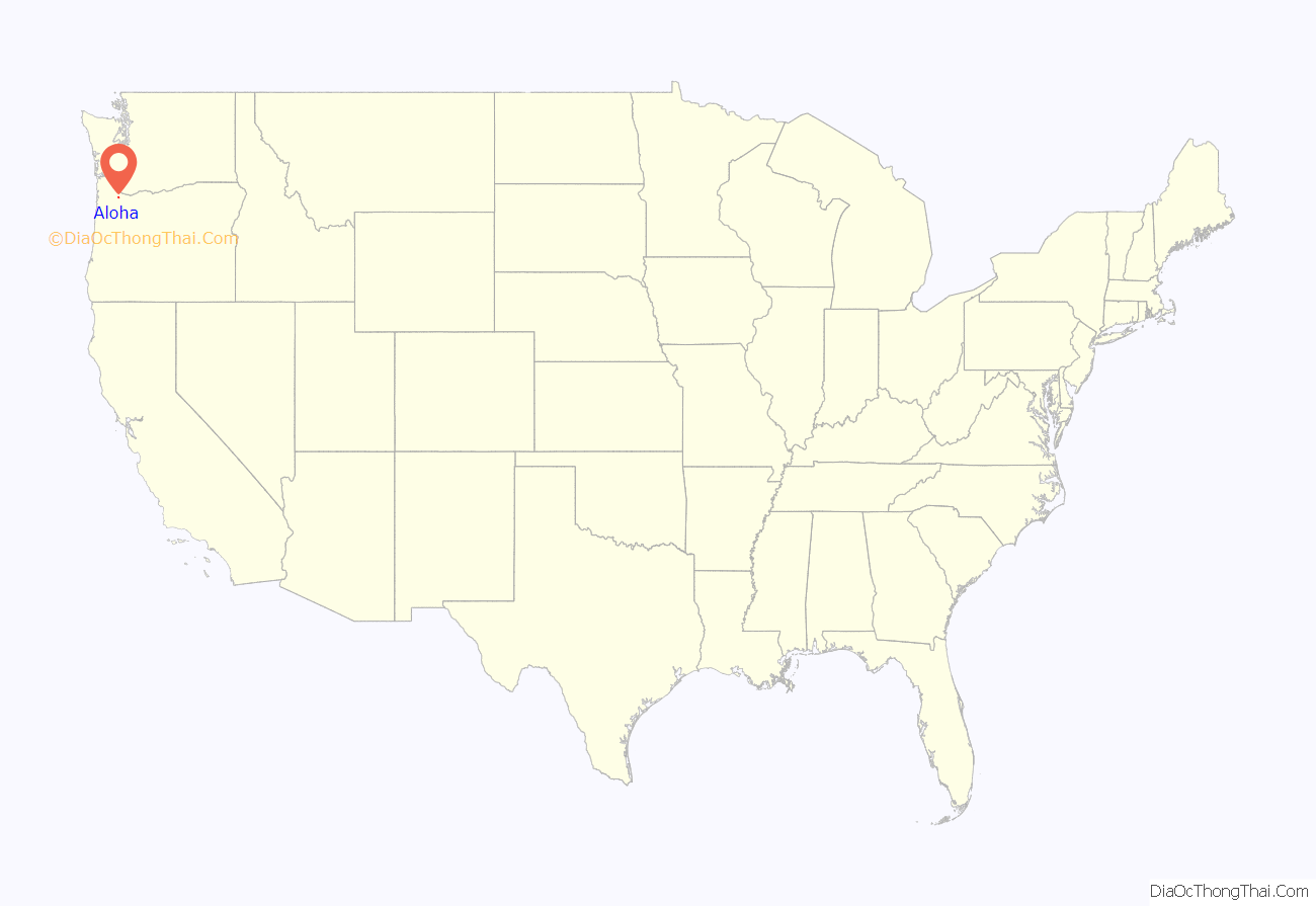
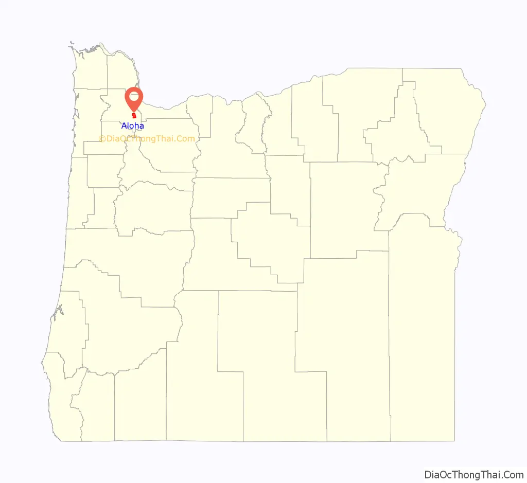
Aloha (/əˈloʊ.ə/, not /əˈloʊhɑː/) is a census-designated place and unincorporated community in Washington County, Oregon, United States. By road it is 10.9 miles (17.5 km) west of downtown Portland. As of the 2020 Census, the population was 53,828. Fire protection and EMS services are provided through Tualatin Valley Fire and Rescue. and Metro West Ambulance.
| Name: | Aloha CDP |
|---|---|
| LSAD Code: | 57 |
| LSAD Description: | CDP (suffix) |
| State: | Oregon |
| County: | Washington County |
| Elevation: | 213 ft (65 m) |
| Total Area: | 7.36 sq mi (19.05 km²) |
| Land Area: | 7.36 sq mi (19.05 km²) |
| Water Area: | 0.00 sq mi (0.00 km²) |
| Total Population: | 53,828 |
| Population Density: | 7,317.56/sq mi (2,825.25/km²) |
| ZIP code: | 97003, 97006-97007, 97078 |
| FIPS code: | 4101650 |
| GNISfeature ID: | 1116889 |
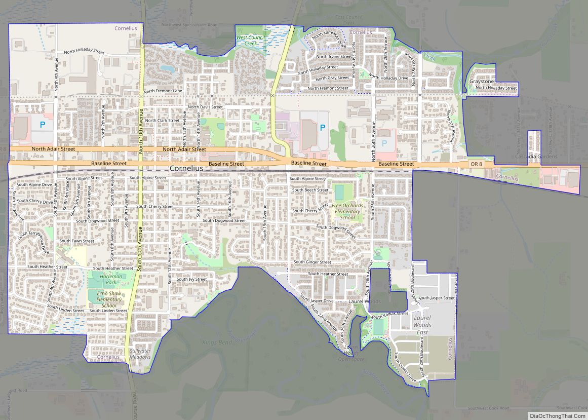
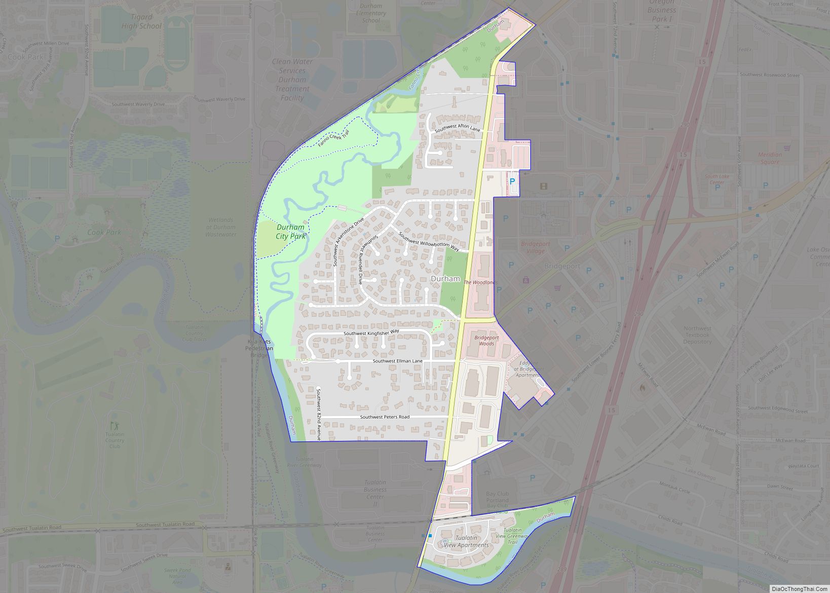
Online Interactive Map
Click on ![]() to view map in "full screen" mode.
to view map in "full screen" mode.
Aloha location map. Where is Aloha CDP?
History
On January 9, 1912, the community received its name with the opening of a post office named Aloha; the area had previously been known as Wheeler Crossing. According to Oregon Geographic Names, the origin of the name Aloha is disputed. Some sources say it was named by Robert Caples, a railroad worker, but it is unknown why the name was chosen. In 1983 Joseph H. Buck claimed that his uncle, the first postmaster, Julius Buck, named the office “Aloah” after a small resort on Lake Winnebago in Wisconsin. Supposedly the last two letters were transposed by the Post Office during the application process. The local pronunciation, however, has remained /əˈloʊ.ə/ rather than /əˈloʊhɑː/.
The community attempted to incorporate in 1984, but the regional boundary commission halted the effort after determining the community could not provide the needed municipal services of a city.
In 2012, a public library was opened in a space within a strip mall shopping center on Farmington Road at Kinnaman Road (previously anchored by Bales Thriftway until its closure in 2020). Named the Aloha Community Library, it was established by the non-profit Aloha Community Library Association and is staffed by volunteers. At the time of its opening, it had about 4,500 books.
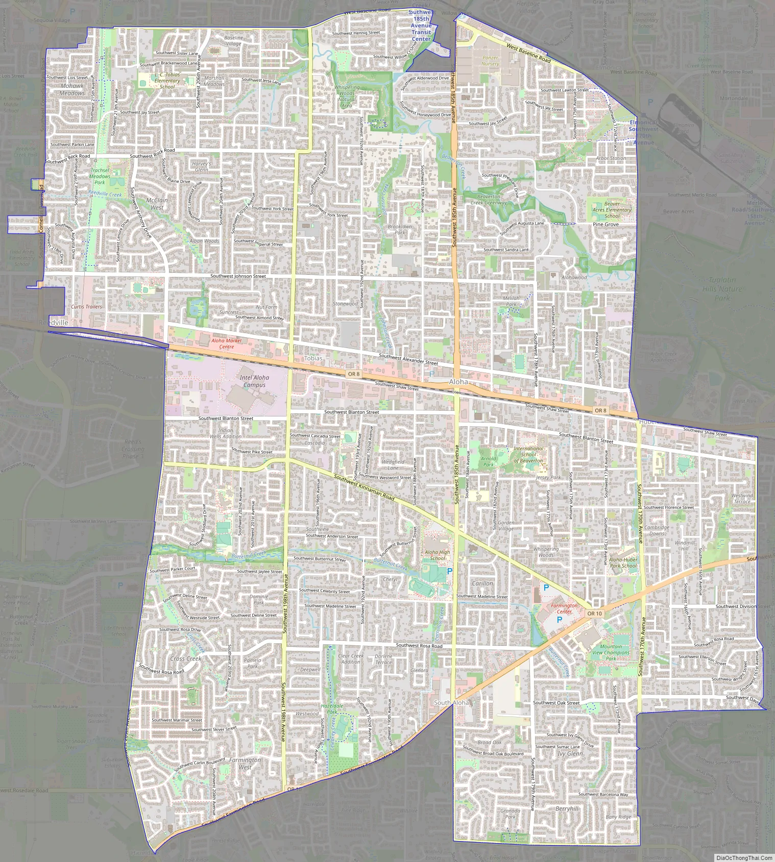
Aloha Road Map
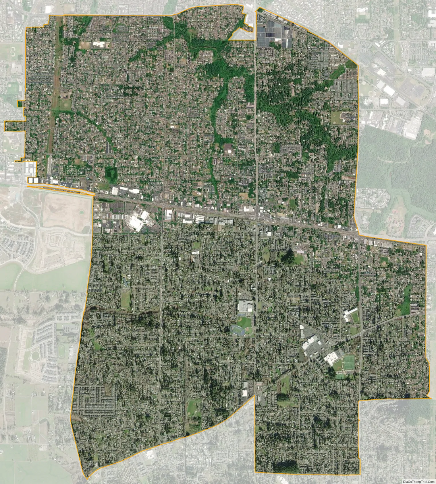
Aloha city Satellite Map
Geography
According to the United States Census Bureau, the CDP has a total area of 7.4 square miles (19 km), all land.
See also
Map of Oregon State and its subdivision: Map of other states:- Alabama
- Alaska
- Arizona
- Arkansas
- California
- Colorado
- Connecticut
- Delaware
- District of Columbia
- Florida
- Georgia
- Hawaii
- Idaho
- Illinois
- Indiana
- Iowa
- Kansas
- Kentucky
- Louisiana
- Maine
- Maryland
- Massachusetts
- Michigan
- Minnesota
- Mississippi
- Missouri
- Montana
- Nebraska
- Nevada
- New Hampshire
- New Jersey
- New Mexico
- New York
- North Carolina
- North Dakota
- Ohio
- Oklahoma
- Oregon
- Pennsylvania
- Rhode Island
- South Carolina
- South Dakota
- Tennessee
- Texas
- Utah
- Vermont
- Virginia
- Washington
- West Virginia
- Wisconsin
- Wyoming