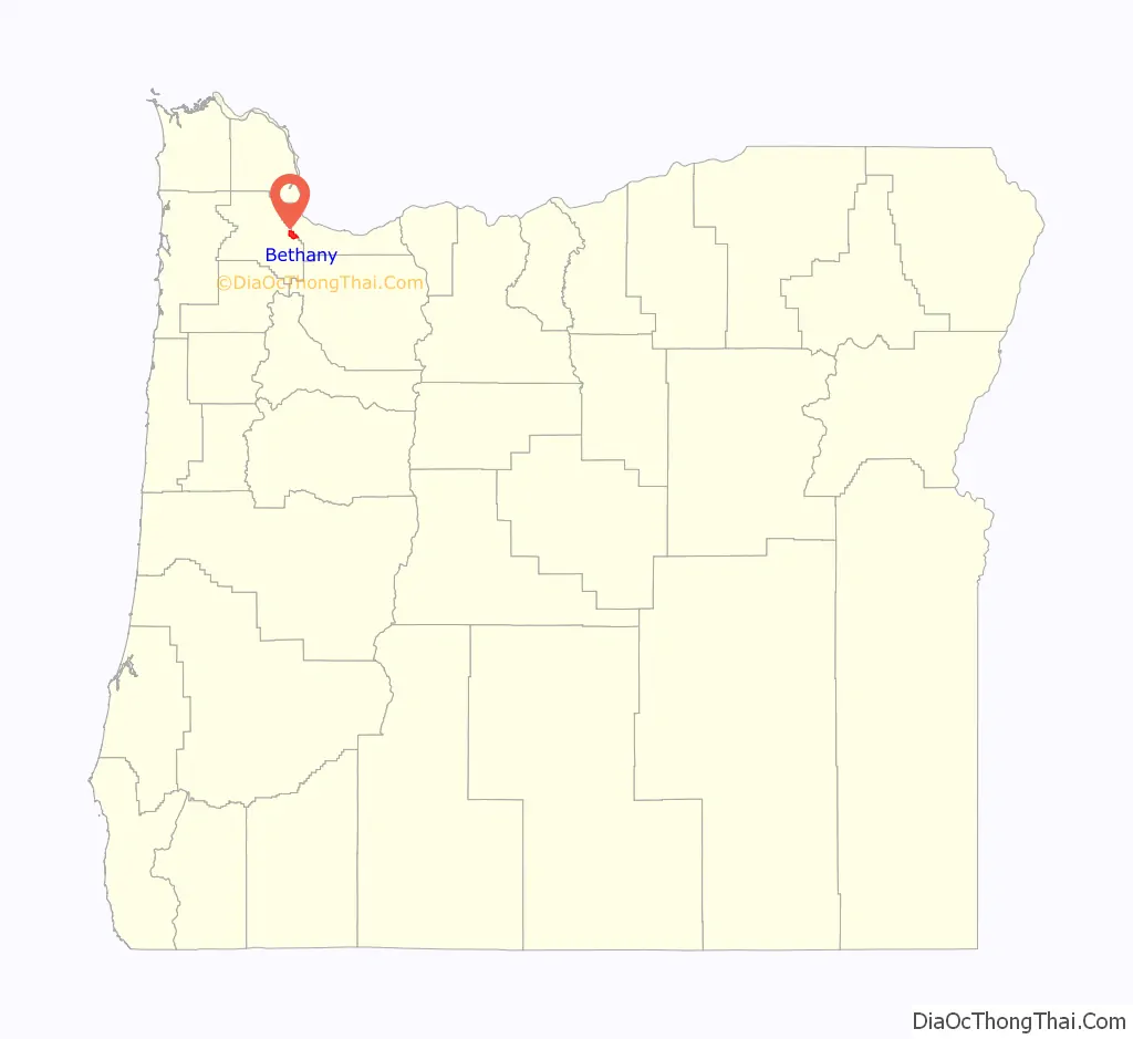
Bethany is an unincorporated community and census-designated place in Washington County, Oregon, United States. It is situated north of U.S. Route 26 and Oak Hills, near Beaverton, approximately four miles northwest of Cedar Mill, and is within the Portland metropolitan area.
| Name: | Bethany CDP |
|---|---|
| LSAD Code: | 57 |
| LSAD Description: | CDP (suffix) |
| State: | Oregon |
| County: | Washington County |
| Elevation: | 300 ft (90 m) |
| Total Area: | 20,646 |
| ZIP code: | 97006, 97229 |
| FIPS code: | 4105950 |
| GNISfeature ID: | 1136645 |
Online Interactive Map
Click on ![]() to view map in "full screen" mode.
to view map in "full screen" mode.
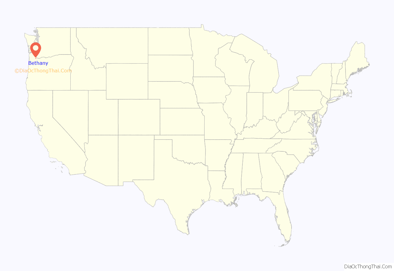
Bethany location map. Where is Bethany CDP?
History
The name Bethany was first applied to a crossroads trading center about two miles northeast of the current location, where a Presbyterian church stands today. The area was first settled by Ulrich Gerber, who came from Switzerland in the mid-1870s. Gerber helped establish the first post office in the area in 1878, about a mile east of the current Bethany School, and suggested the name Bethany. “Bethany” is a Hebrew word, originally applied to a place in Palestine near Jerusalem, and used as a place name all over the United States, especially in connection with a church. The post office was discontinued in 1904. The area’s first public library was opened in July 2007 by a non-profit organization named the Cedar Mill Community Library Association, which has operated a library in nearby Cedar Mill since 1976. It is considered a branch of that library and is named the Cedar Mill Community Library @ Bethany.
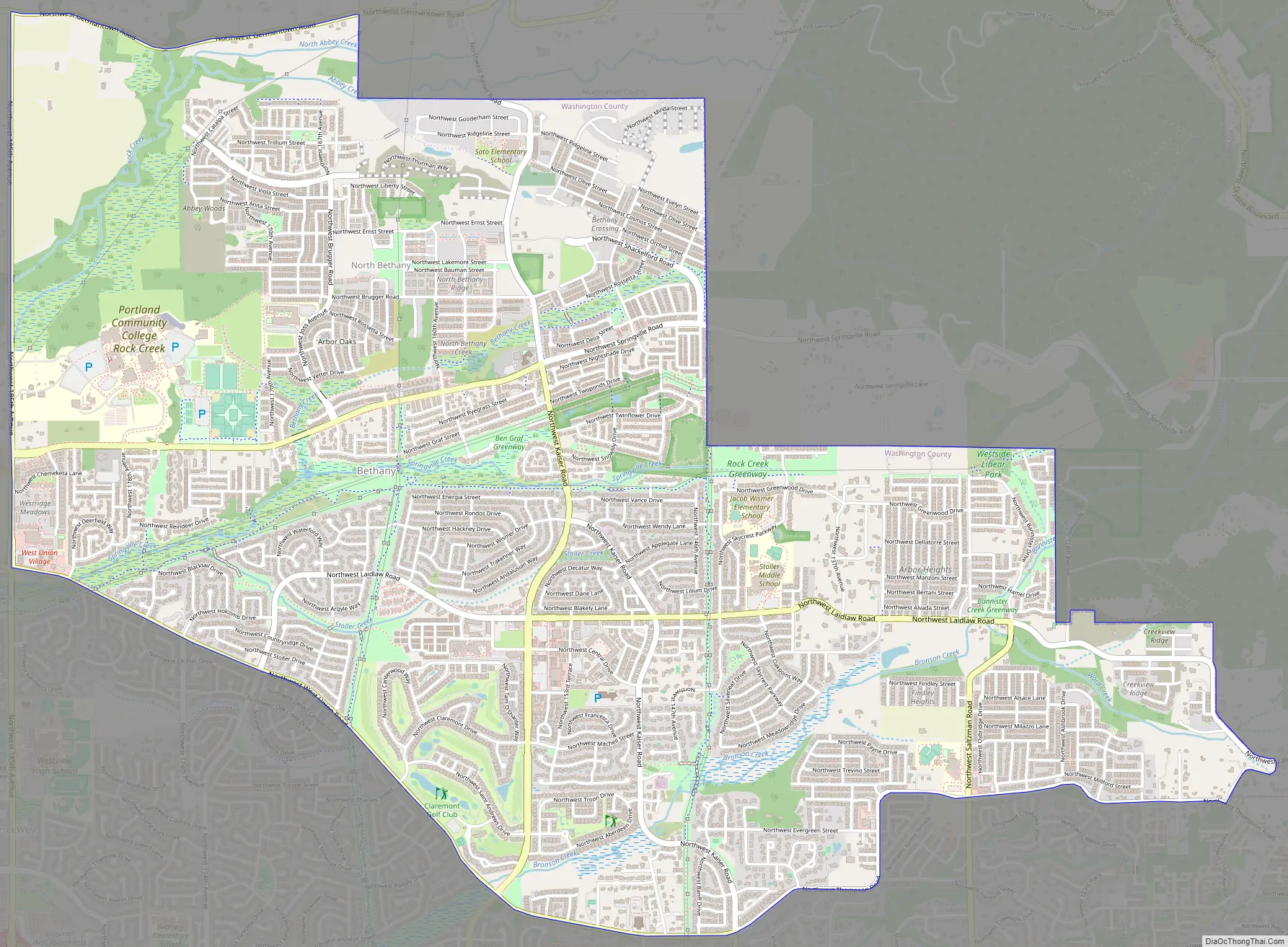
Bethany Road Map
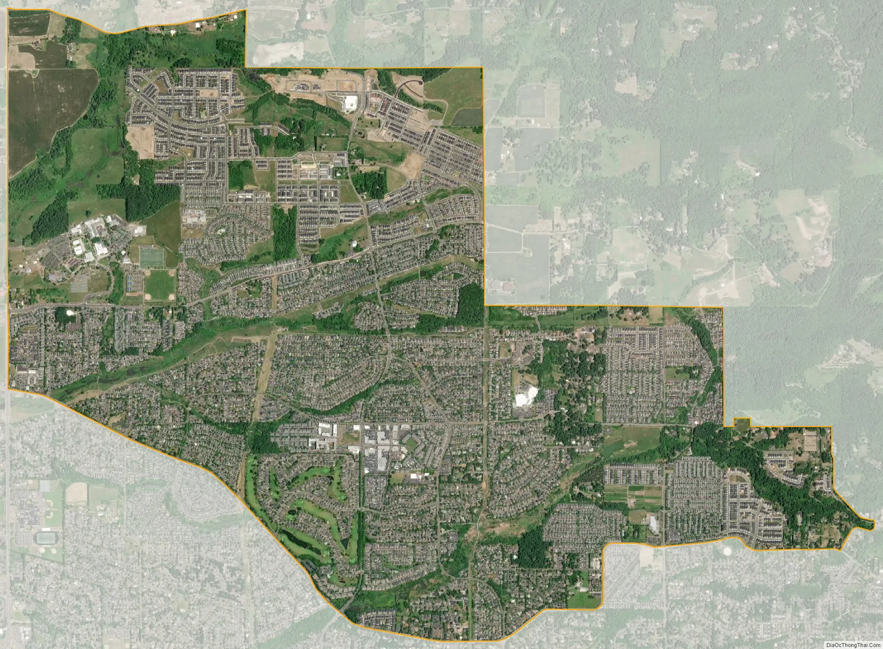
Bethany city Satellite Map
See also
Map of Oregon State and its subdivision: Map of other states:- Alabama
- Alaska
- Arizona
- Arkansas
- California
- Colorado
- Connecticut
- Delaware
- District of Columbia
- Florida
- Georgia
- Hawaii
- Idaho
- Illinois
- Indiana
- Iowa
- Kansas
- Kentucky
- Louisiana
- Maine
- Maryland
- Massachusetts
- Michigan
- Minnesota
- Mississippi
- Missouri
- Montana
- Nebraska
- Nevada
- New Hampshire
- New Jersey
- New Mexico
- New York
- North Carolina
- North Dakota
- Ohio
- Oklahoma
- Oregon
- Pennsylvania
- Rhode Island
- South Carolina
- South Dakota
- Tennessee
- Texas
- Utah
- Vermont
- Virginia
- Washington
- West Virginia
- Wisconsin
- Wyoming