Alakanuk (ah-LUG-uh-nuck) (Central Yupik: Alarneq) is a second class city in the Kusilvak Census Area of the Unorganized Borough in the western part of the U.S. state of Alaska. As of the 2010 census, the population of the city was 677, up from 652 in 2000.
| Name: | Alakanuk city |
|---|---|
| LSAD Code: | 25 |
| LSAD Description: | city (suffix) |
| State: | Alaska |
| County: | Kusilvak Census Area |
| Incorporated: | October 28, 1969 |
| Elevation: | 3 ft (1 m) |
| Total Area: | 41.80 sq mi (108.26 km²) |
| Land Area: | 32.20 sq mi (83.40 km²) |
| Water Area: | 9.60 sq mi (24.86 km²) |
| Total Population: | 756 |
| Population Density: | 23.48/sq mi (9.07/km²) |
| ZIP code: | 99554 |
| Area code: | 907 |
| FIPS code: | 0201200 |
| GNISfeature ID: | 1398042 |
Online Interactive Map
Click on ![]() to view map in "full screen" mode.
to view map in "full screen" mode.
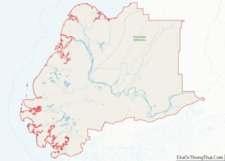
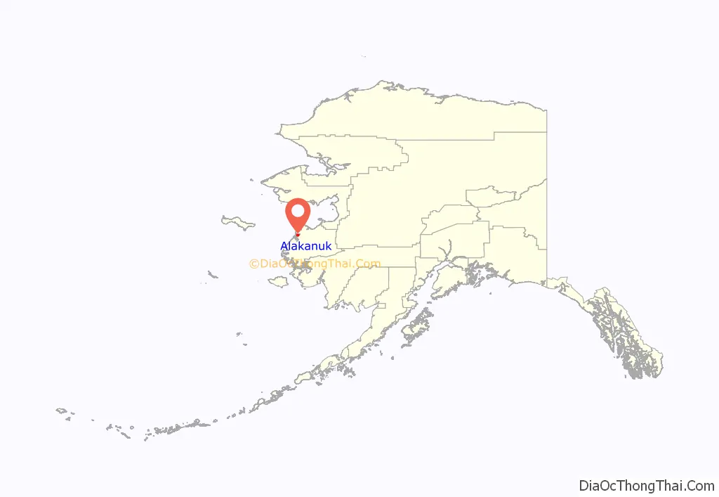
Alakanuk location map. Where is Alakanuk city?
History
Alakanuk is a Yup’ik word meaning “wrong way” or “mistake village”, aptly applied to a village on this maze of watercourses. The village was first reported by G.R. Putnam of the U.S. Coast & Geodetic Survey in 1899. It was originally settled by a Yup’ik shaman named Anguksuar and his family. A Catholic mission school was built near the village. A post office was established in 1946. In 1948, the school was relocated to St. Mary’s, and many families moved from the old school site to Alakanuk. It incorporated as a second-class city in 1969.
A federally recognized tribe is located in the community—the Village of Alakanuk.
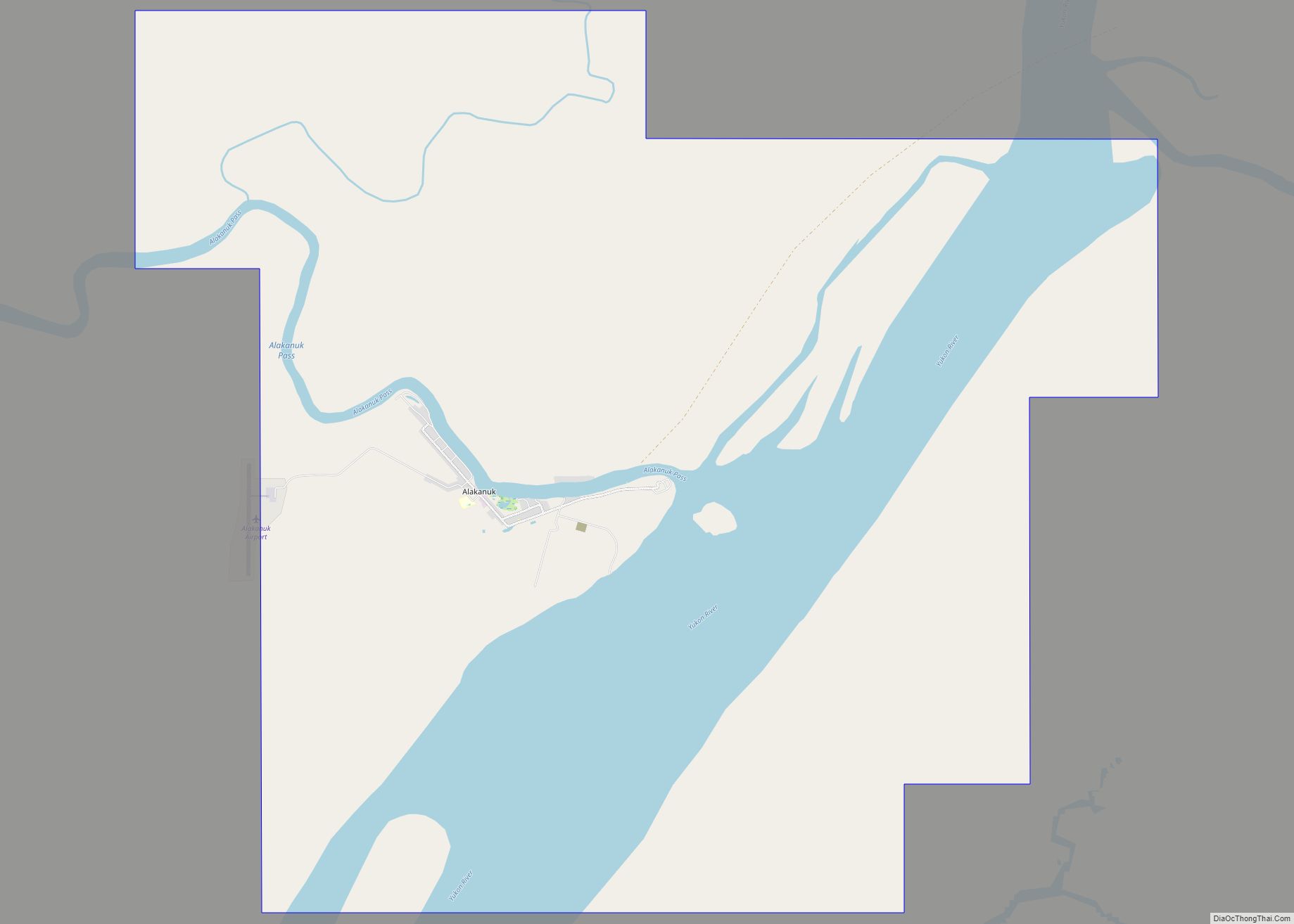
Alakanuk Road Map
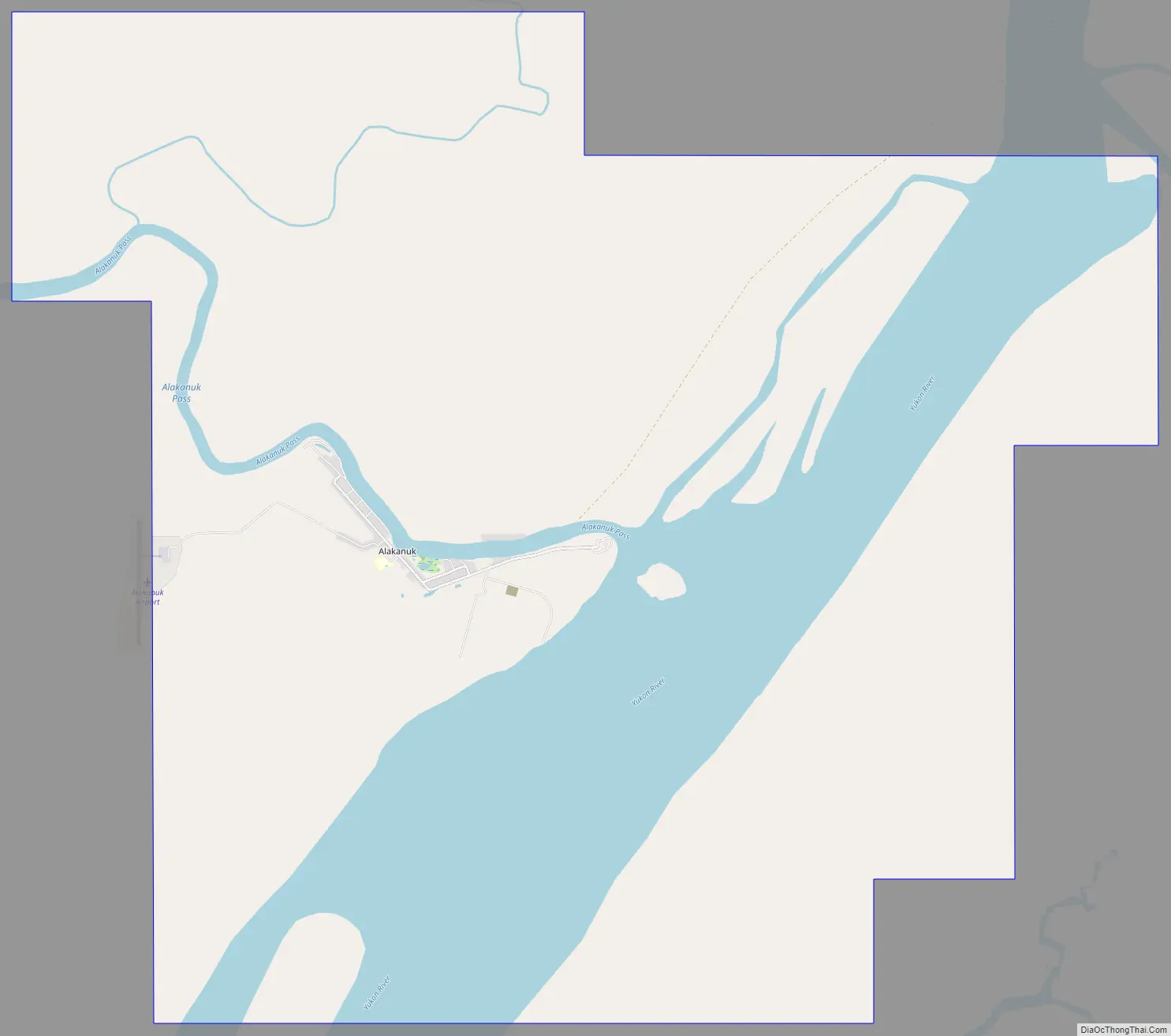
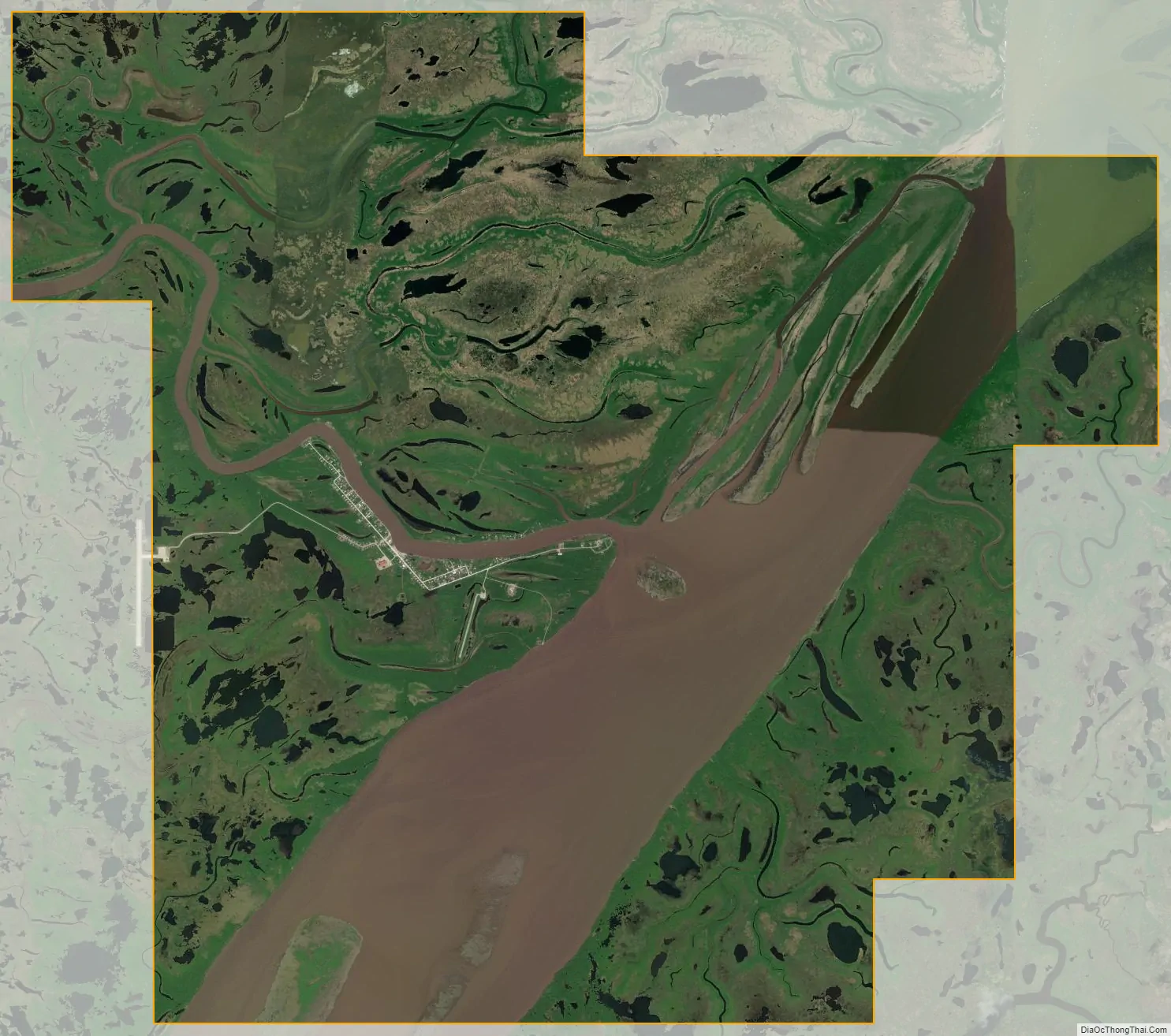
Alakanuk city Satellite Map
See also
Map of Alaska State and its subdivision:- Aleutians East
- Aleutians West
- Anchorage
- Bethel
- Bristol Bay
- Denali
- Dillingham
- Fairbanks North Star
- Haines
- Juneau
- Kenai Peninsula
- Ketchikan Gateway
- Kodiak Island
- Lake and Peninsula
- Matanuska-Susitna
- Nome
- North Slope
- Northwest Arctic
- Prince of Wales-Outer Ketchi
- Sitka
- Skagway-Yakutat-Angoon
- Southeast Fairbanks
- Valdez-Cordova
- Wade Hampton
- Wrangell-Petersburg
- Yukon-Koyukuk
- Alabama
- Alaska
- Arizona
- Arkansas
- California
- Colorado
- Connecticut
- Delaware
- District of Columbia
- Florida
- Georgia
- Hawaii
- Idaho
- Illinois
- Indiana
- Iowa
- Kansas
- Kentucky
- Louisiana
- Maine
- Maryland
- Massachusetts
- Michigan
- Minnesota
- Mississippi
- Missouri
- Montana
- Nebraska
- Nevada
- New Hampshire
- New Jersey
- New Mexico
- New York
- North Carolina
- North Dakota
- Ohio
- Oklahoma
- Oregon
- Pennsylvania
- Rhode Island
- South Carolina
- South Dakota
- Tennessee
- Texas
- Utah
- Vermont
- Virginia
- Washington
- West Virginia
- Wisconsin
- Wyoming