Anaktuvuk Pass (Inupiaq: Anaqtuuvak, IPA: [ɐnɑqtuːvɐk], Anaqtuġvik or Naqsraq, IPA: [naχʂɑq]) is a city in North Slope Borough, Alaska, United States. The population was 282 at the 2000 census and 324 as of the 2010 census.
| Name: | Anaktuvuk Pass city |
|---|---|
| LSAD Code: | 25 |
| LSAD Description: | city (suffix) |
| State: | Alaska |
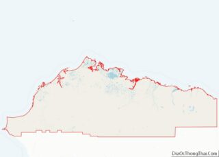
| County: | North Slope Borough |
| Incorporated: | June 1957 |
| Elevation: | 2,239 ft (663 m) |
| Total Area: | 5.23 sq mi (13.55 km²) |
| Land Area: | 5.18 sq mi (13.41 km²) |
| Water Area: | 0.05 sq mi (0.14 km²) |
| Total Population: | 425 |
| Population Density: | 82.09/sq mi (31.70/km²) |
| ZIP code: | 99721 |
| Area code: | 907 |
| FIPS code: | 0202080 |
| GNISfeature ID: | 1398235 |
Online Interactive Map
Click on ![]() to view map in "full screen" mode.
to view map in "full screen" mode.
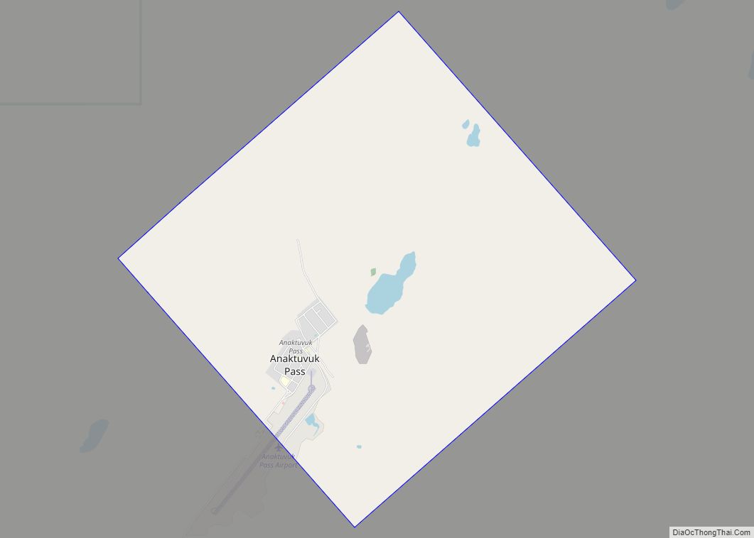
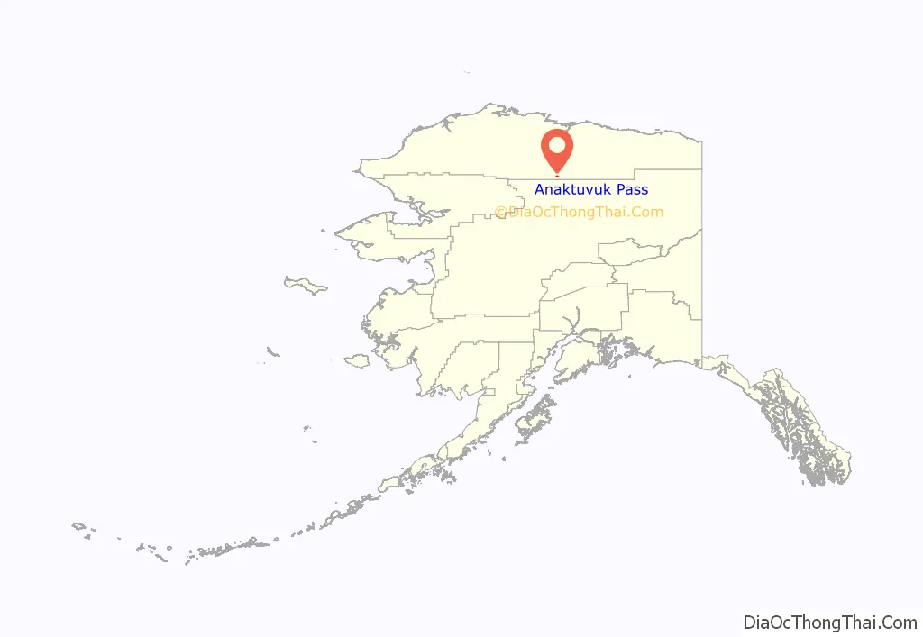
Anaktuvuk Pass location map. Where is Anaktuvuk Pass city?
History
Anaktuvuk Pass was named after the Anaktuvuk River. Anaktuvuk is the English way of spelling “anaqtuġvik”, place of caribou droppings in Inupiaq, the language of the Inupiat.
A nomadic group of Inupiat called Nunamiut lived inland in northern Alaska, hunting caribou instead of the marine mammals and fish hunted by the rest of the Inupiat, who live on the coast. The Nunamiut traded with the coastal people for other items they needed. A decline in caribou populations around 1900 and in the 1920s caused many Nunamiut to move to the coast. In 1938, several Nunamiut families moved back to the Brooks Range, around Tulugak and the Killik River. In 1949 the Killik River group moved to Tulugak Lake, 15 miles north of where the village lies today. Anaktuvuk Pass is the only Nunamiut settlement.
This settlement attracted Inupiaq people from many other locations, and villagers today lead a somewhat more sedentary lifestyle than in nomadic times. The city was incorporated in 1959. A Presbyterian church was constructed in 1966.
A federally recognized tribe is in the community: the Village of Anaktuvuk Pass (a.k.a. Naqsragmiut Tribal Council). The community population is 88.3% Alaska Natives or part Native. Anaktuvuk Pass is a Nunamiut Eskimo community dependent upon subsistence activities. Sale, importation and possession of alcohol are banned in the village.
Anaktuvuk Pass post office was established in May 1951. The first postmaster was Homer Mekiana. As of 2009, its post office was considered the most isolated in the United States.
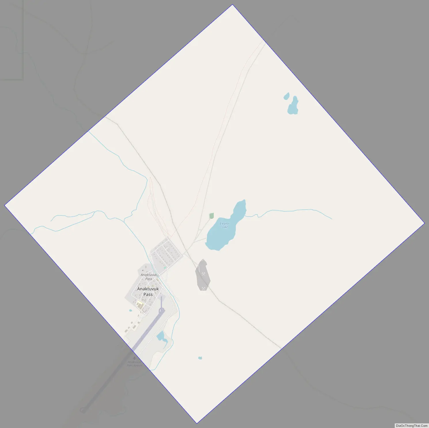
Anaktuvuk Pass Road Map
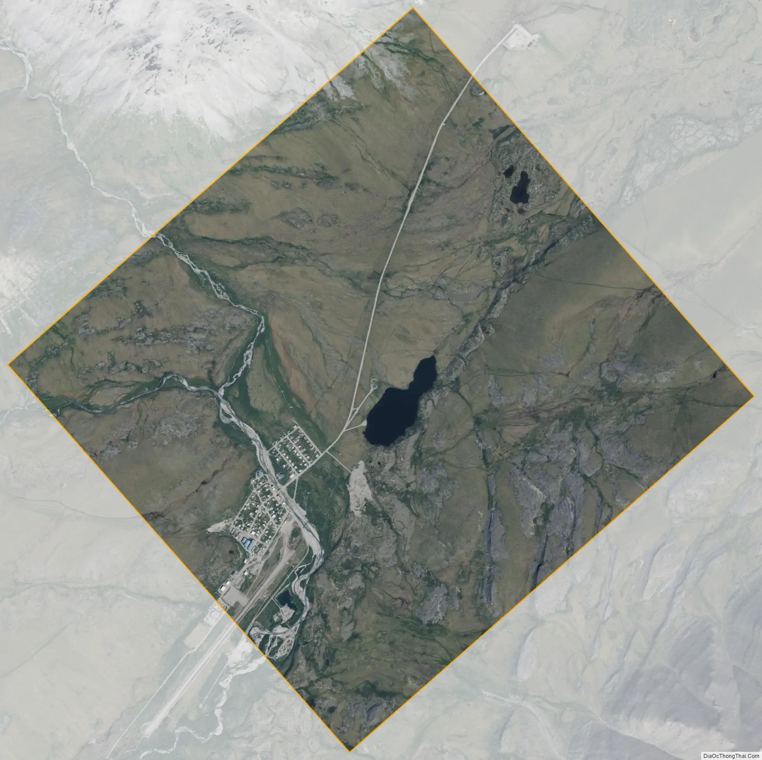
Anaktuvuk Pass city Satellite Map
Geography
Anaktuvuk Pass is slightly north of the Brooks Range on the divide between the Anaktuvuk River and the John River, at an elevation of 2,200 ft (670 m). Anaktuvuk Pass is the last remaining settlement of the Nunamiut (People of the Land) Iñupiat Inuit in Alaska.
The community lies at approximately 68°08′35″N 151°44′01″W / 68.14306°N 151.73361°W / 68.14306; -151.73361. It is in Section 18, Township 15 South, Range 2 East, Umiat Meridian, within the Utqiaġvik Recording District. According to the United States Census Bureau, the city has an area of 4.9 sq mi (13 km), of which 4.8 sq mi (12 km) is land and 0.1 sq mi (0.26 km) (1.63%) is water.
Climate
Anaktuvuk Pass has a typical subarctic climate (Köppen climate classification: Dfc) bordering on a tundra climate (Köppen climate classification: ET), with the average temperature in January −13.4 °F (−25.2 °C) while the warmest month, July, averages 50.3 °F (10.2 °C). Temperatures have ranged from −47 to 91 °F (−44 to 33 °C). Anaktuvuk Pass receives about 11 in (280 mm) of rain yearly, with snowfall averaging about 63 in (160 cm). The area is known for its intense winds and 50-below winters and the generic, framed houses built there in the 1970s. The houses are inefficient for such a climate, according to a Fairbanks Daily News Miner story. On June 28, 1971, the temperature fell to a record summer low of −11 °F (−24 °C), though the data for that year is extremely sparse. The climate record as a whole is irregular, with data compiled only between 1953 and 1973, with most observations in the 1950s.
See also
Map of Alaska State and its subdivision:- Aleutians East
- Aleutians West
- Anchorage
- Bethel
- Bristol Bay
- Denali
- Dillingham
- Fairbanks North Star
- Haines
- Juneau
- Kenai Peninsula
- Ketchikan Gateway
- Kodiak Island
- Lake and Peninsula
- Matanuska-Susitna
- Nome
- North Slope
- Northwest Arctic
- Prince of Wales-Outer Ketchi
- Sitka
- Skagway-Yakutat-Angoon
- Southeast Fairbanks
- Valdez-Cordova
- Wade Hampton
- Wrangell-Petersburg
- Yukon-Koyukuk
- Alabama
- Alaska
- Arizona
- Arkansas
- California
- Colorado
- Connecticut
- Delaware
- District of Columbia
- Florida
- Georgia
- Hawaii
- Idaho
- Illinois
- Indiana
- Iowa
- Kansas
- Kentucky
- Louisiana
- Maine
- Maryland
- Massachusetts
- Michigan
- Minnesota
- Mississippi
- Missouri
- Montana
- Nebraska
- Nevada
- New Hampshire
- New Jersey
- New Mexico
- New York
- North Carolina
- North Dakota
- Ohio
- Oklahoma
- Oregon
- Pennsylvania
- Rhode Island
- South Carolina
- South Dakota
- Tennessee
- Texas
- Utah
- Vermont
- Virginia
- Washington
- West Virginia
- Wisconsin
- Wyoming