Anvik (Deg Xinag: Gitr’ingith Chagg) is a city, home to the Deg Hit’an people, in the Yukon-Koyukuk Census Area, Alaska, United States. The name Anvik, meaning “exit” in the Central Alaskan Yup’ik language, became the common usage despite multiple names at the time, and may have come from early Russian explorers. The native name in the Deg Xinag language is Deloy Ges. The population was 85 at the 2010 census, down from 104 in 2000.
| Name: | Anvik city |
|---|---|
| LSAD Code: | 25 |
| LSAD Description: | city (suffix) |
| State: | Alaska |
| County: | Yukon-Koyukuk Census Area |
| Incorporated: | October 6, 1969 |
| Elevation: | 52 ft (16 m) |
| Total Area: | 11.93 sq mi (30.89 km²) |
| Land Area: | 9.49 sq mi (24.58 km²) |
| Water Area: | 2.44 sq mi (6.31 km²) |
| Total Population: | 70 |
| Population Density: | 7.38/sq mi (2.85/km²) |
| Area code: | 907 |
| FIPS code: | 0203880 |
Online Interactive Map
Click on ![]() to view map in "full screen" mode.
to view map in "full screen" mode.
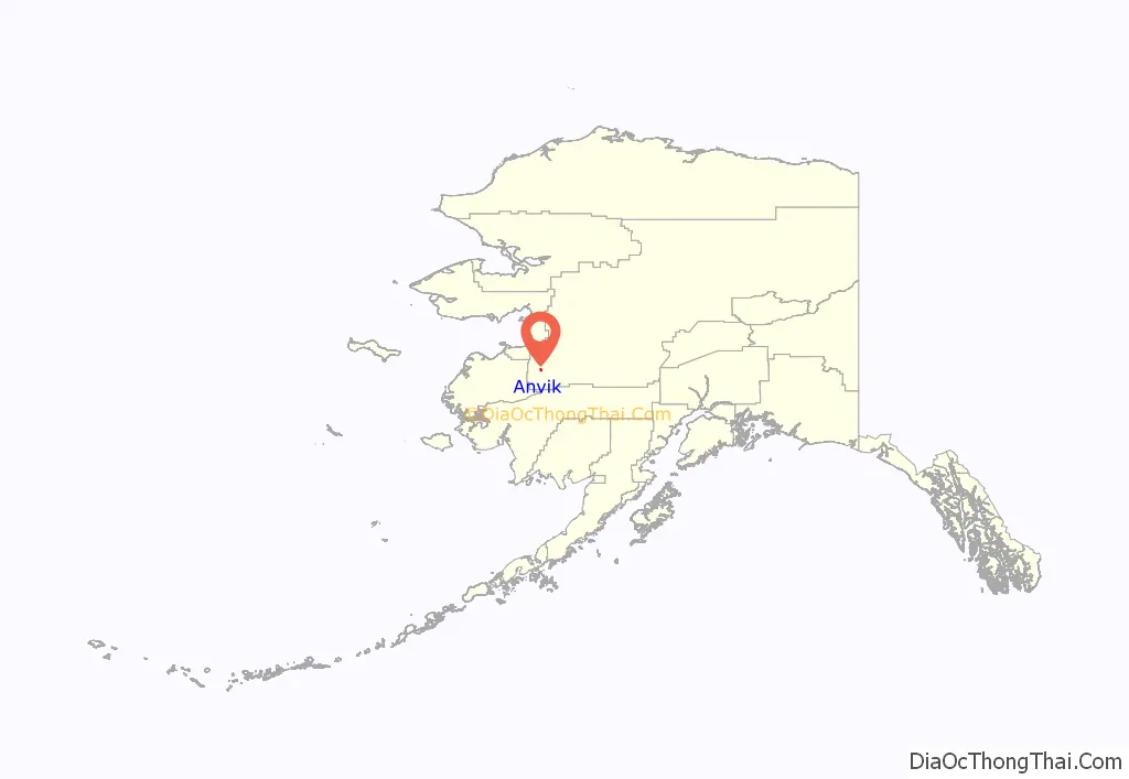
Anvik location map. Where is Anvik city?
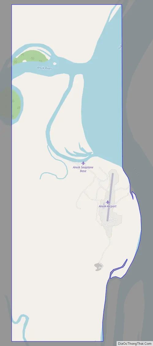
Anvik Road Map
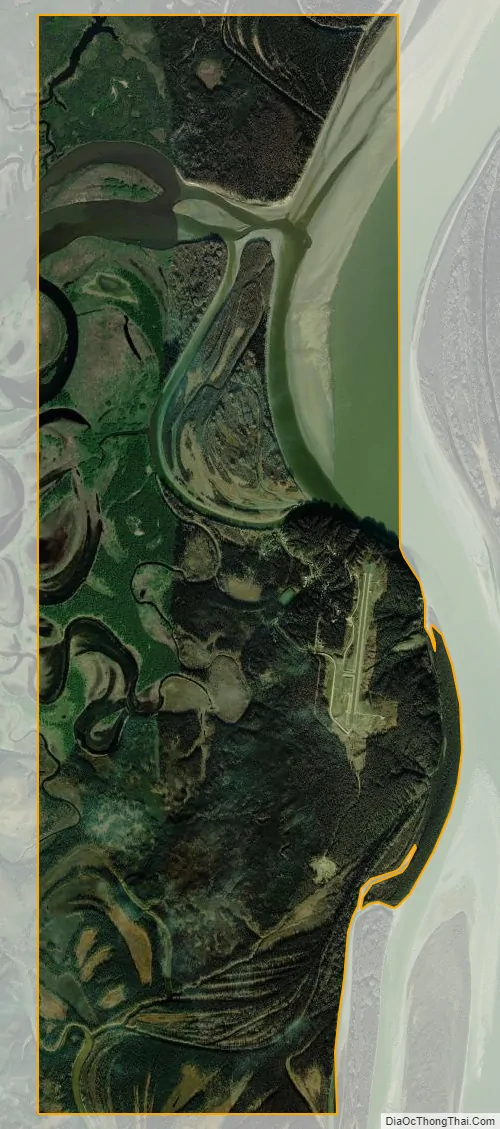
Anvik city Satellite Map
Geography
Anvik is located west of the Yukon River at the mouth of the Anvik River. It is 34 miles (55 km) to the north of Holy Cross. There is a public Anvik Airport (ANV) with a 2,960-foot (902 m) gravel runway located one mile (1.6 km) southeast of downtown Anvik.
The Anvik Connector is a trail, designated a national side trail, which links the community to the Iditarod Trail 86 miles (138 km) to the east.
According to the United States Census Bureau, the city has a total area of 11.9 square miles (31 km), of which 9.5 square miles (25 km) is land and 2.4 square miles (6.2 km) (20.44%) is water. It is an incorporated place (FIPS 55-3 Class C6).
See also
Map of Alaska State and its subdivision:- Aleutians East
- Aleutians West
- Anchorage
- Bethel
- Bristol Bay
- Denali
- Dillingham
- Fairbanks North Star
- Haines
- Juneau
- Kenai Peninsula
- Ketchikan Gateway
- Kodiak Island
- Lake and Peninsula
- Matanuska-Susitna
- Nome
- North Slope
- Northwest Arctic
- Prince of Wales-Outer Ketchi
- Sitka
- Skagway-Yakutat-Angoon
- Southeast Fairbanks
- Valdez-Cordova
- Wade Hampton
- Wrangell-Petersburg
- Yukon-Koyukuk
- Alabama
- Alaska
- Arizona
- Arkansas
- California
- Colorado
- Connecticut
- Delaware
- District of Columbia
- Florida
- Georgia
- Hawaii
- Idaho
- Illinois
- Indiana
- Iowa
- Kansas
- Kentucky
- Louisiana
- Maine
- Maryland
- Massachusetts
- Michigan
- Minnesota
- Mississippi
- Missouri
- Montana
- Nebraska
- Nevada
- New Hampshire
- New Jersey
- New Mexico
- New York
- North Carolina
- North Dakota
- Ohio
- Oklahoma
- Oregon
- Pennsylvania
- Rhode Island
- South Carolina
- South Dakota
- Tennessee
- Texas
- Utah
- Vermont
- Virginia
- Washington
- West Virginia
- Wisconsin
- Wyoming


