Atqasuk (Inupiaq pronunciation: [ɐtqɐsuk]) is a city in North Slope Borough, Alaska, United States. The population was 276 at the 2020 census and 233 as of the 2010 census.
| Name: | Atqasuk city |
|---|---|
| LSAD Code: | 25 |
| LSAD Description: | city (suffix) |
| State: | Alaska |
| County: | North Slope Borough |
| Incorporated: | October 10, 1982 |
| Elevation: | 56 ft (17 m) |
| Total Area: | 42.74 sq mi (110.68 km²) |
| Land Area: | 39.12 sq mi (101.32 km²) |
| Water Area: | 3.62 sq mi (9.37 km²) |
| Total Population: | 276 |
| Population Density: | 7.06/sq mi (2.72/km²) |
| ZIP code: | 99791 |
| Area code: | 907 |
| FIPS code: | 0204500 |
| GNISfeature ID: | 1406178 |
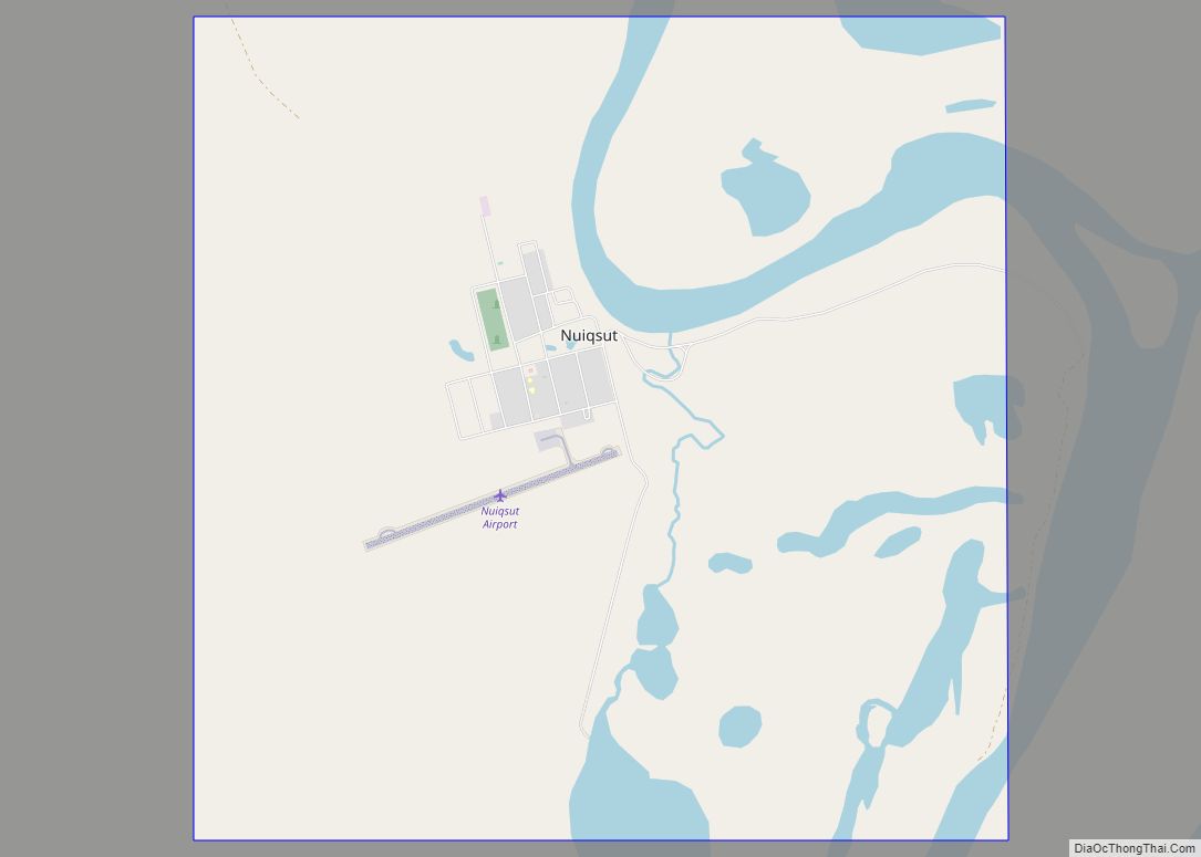
Online Interactive Map
Click on ![]() to view map in "full screen" mode.
to view map in "full screen" mode.
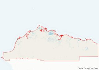
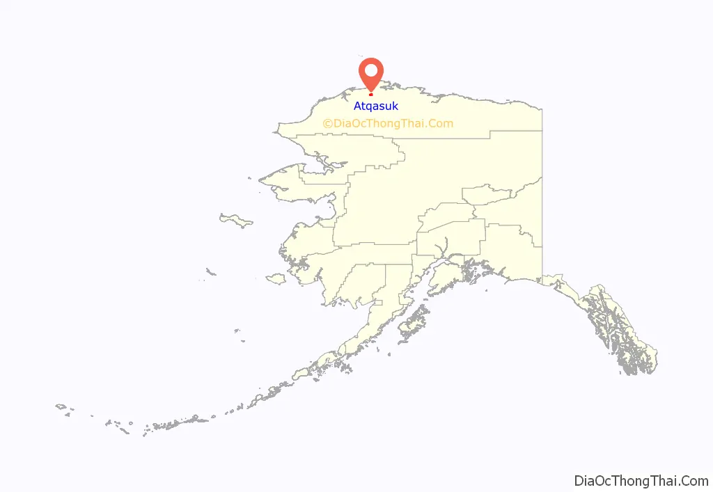
Atqasuk location map. Where is Atqasuk city?
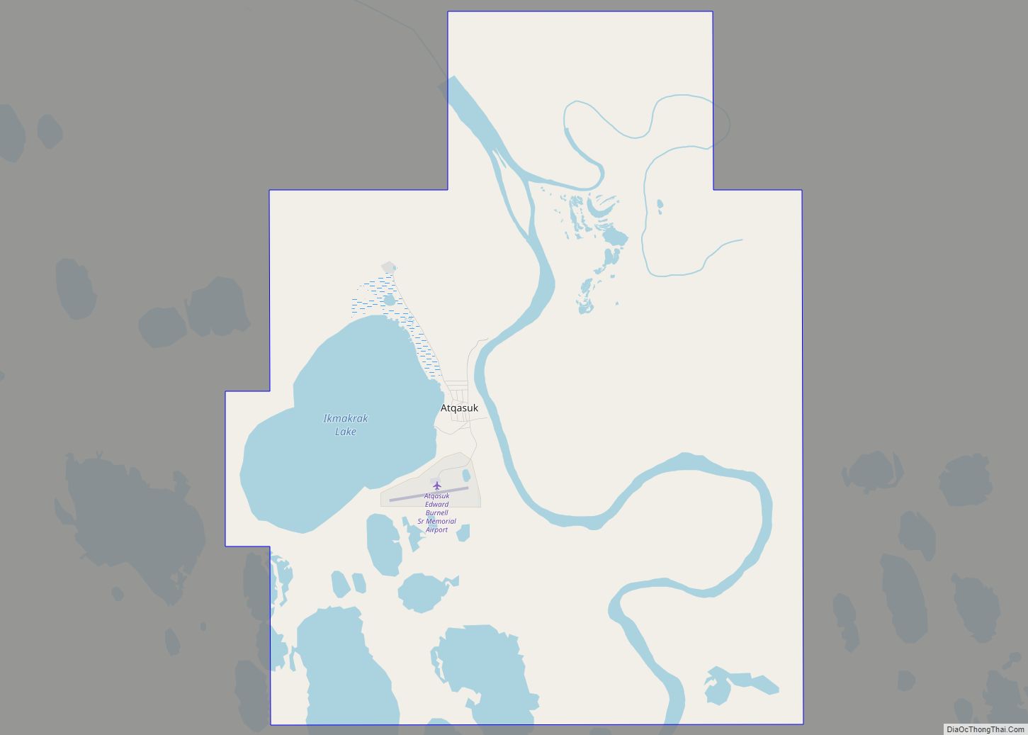
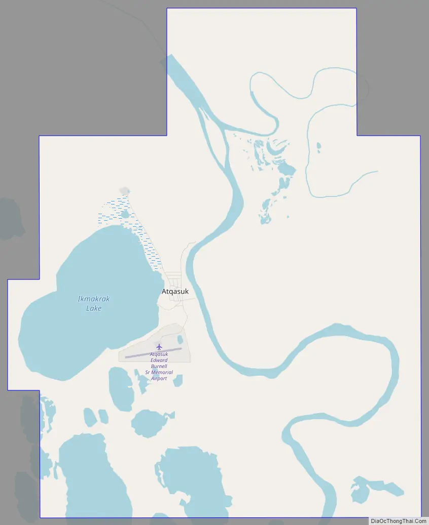
Atqasuk Road Map
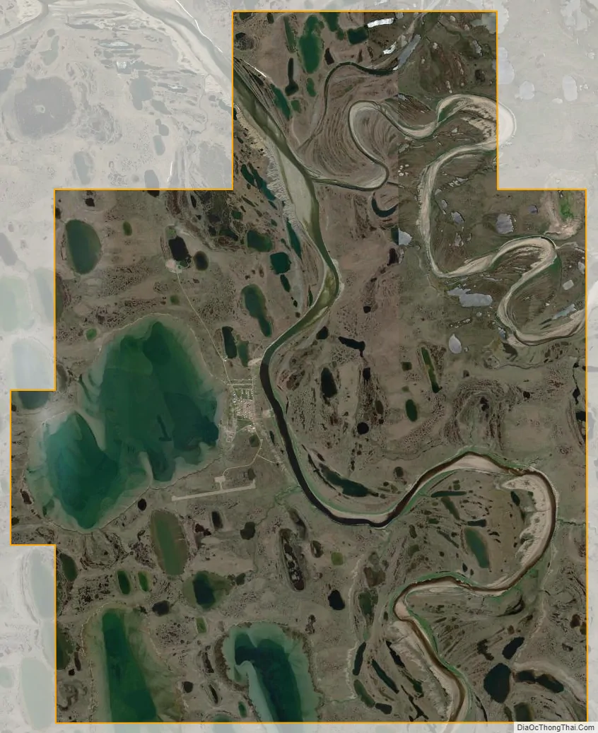
Atqasuk city Satellite Map
Geography
Atqasuk is located at 70°28′40″N 157°25′05″W / 70.47778°N 157.41806°W / 70.47778; -157.41806 (70.477663, -157.418056), on the Meade River.
According to the United States Census Bureau, the city has a total area of 42.3 square miles (110 km), of which 38.9 square miles (101 km) is land and 3.5 square miles (9.1 km) (8.22%) is water.
Atqasuk has one airport, Atqasuk Edward Burnell Sr. Memorial Airport, that is uncontrolled and has a single 4,370-by-90-foot (1,332 by 27 m) runway at an elevation of 96 feet (29 m).
See also
Map of Alaska State and its subdivision:- Aleutians East
- Aleutians West
- Anchorage
- Bethel
- Bristol Bay
- Denali
- Dillingham
- Fairbanks North Star
- Haines
- Juneau
- Kenai Peninsula
- Ketchikan Gateway
- Kodiak Island
- Lake and Peninsula
- Matanuska-Susitna
- Nome
- North Slope
- Northwest Arctic
- Prince of Wales-Outer Ketchi
- Sitka
- Skagway-Yakutat-Angoon
- Southeast Fairbanks
- Valdez-Cordova
- Wade Hampton
- Wrangell-Petersburg
- Yukon-Koyukuk
- Alabama
- Alaska
- Arizona
- Arkansas
- California
- Colorado
- Connecticut
- Delaware
- District of Columbia
- Florida
- Georgia
- Hawaii
- Idaho
- Illinois
- Indiana
- Iowa
- Kansas
- Kentucky
- Louisiana
- Maine
- Maryland
- Massachusetts
- Michigan
- Minnesota
- Mississippi
- Missouri
- Montana
- Nebraska
- Nevada
- New Hampshire
- New Jersey
- New Mexico
- New York
- North Carolina
- North Dakota
- Ohio
- Oklahoma
- Oregon
- Pennsylvania
- Rhode Island
- South Carolina
- South Dakota
- Tennessee
- Texas
- Utah
- Vermont
- Virginia
- Washington
- West Virginia
- Wisconsin
- Wyoming