Covenant Life is a census-designated place (CDP) in Haines Borough, Alaska, United States. At the 2020 census the population was 25, down from 86 at the 2010 census.
It is a community of people with common religious beliefs, with a panel of church elders who set policy for the community’s common church, K-12 school, and private 4-year university, and a loose form of self- (municipal) government. An emphasis on community living is a key value in their lifestyle, such as taking most meals together in a common meeting place. The community was established during a Christian religious movement in the 1960s and 1970s, where many such communities were established in Alaska and Canada, with emphasis on self-sufficiency and at least partial agricultural independence. The latter lends to the term often used by outsiders as “The Farm”, in reference to a single such community. Modern technology is not forbidden, nor discouraged, but due to remoteness and complete lack of public utilities, it is present much less so than in American and Canadian culture.
| Name: | Covenant Life CDP |
|---|---|
| LSAD Code: | 57 |
| LSAD Description: | CDP (suffix) |
| State: | Alaska |
| County: | Haines Borough |
| Elevation: | 259 ft (79 m) |
| Total Area: | 27.25 sq mi (70.58 km²) |
| Land Area: | 27.05 sq mi (70.07 km²) |
| Water Area: | 0.20 sq mi (0.51 km²) |
| Total Population: | 25 |
| Population Density: | 0.92/sq mi (0.36/km²) |
| Area code: | 907 |
| FIPS code: | 0217670 |
| GNISfeature ID: | 1866938 |
Online Interactive Map
Click on ![]() to view map in "full screen" mode.
to view map in "full screen" mode.
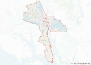
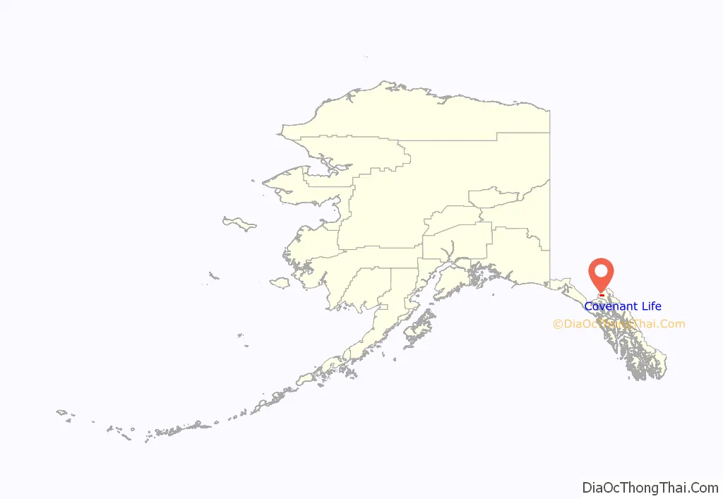
Covenant Life location map. Where is Covenant Life CDP?
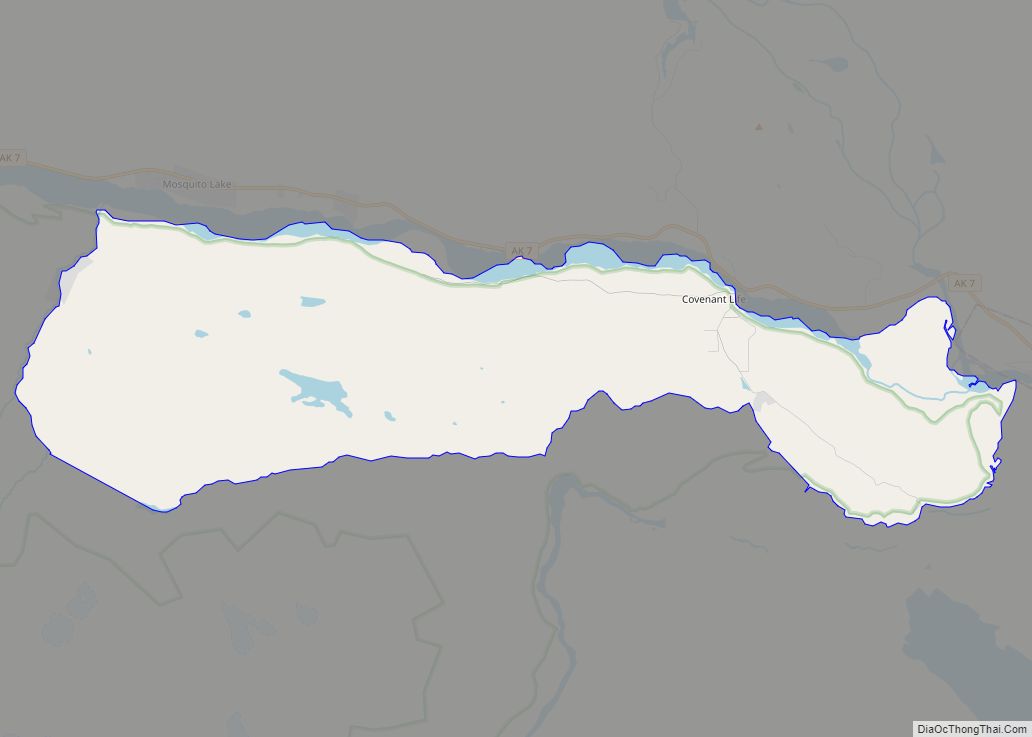
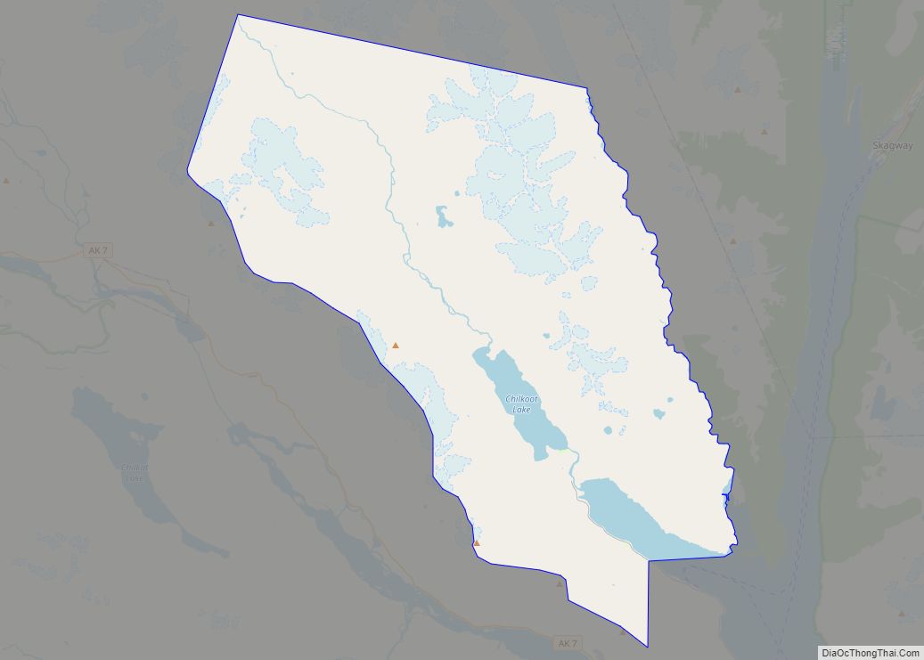
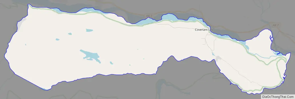
Covenant Life Road Map
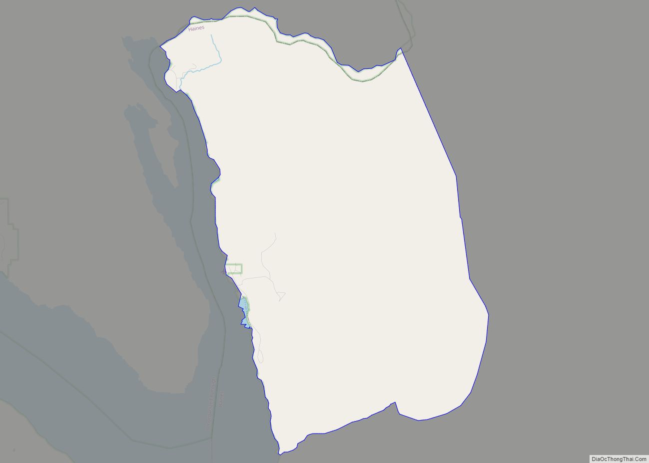
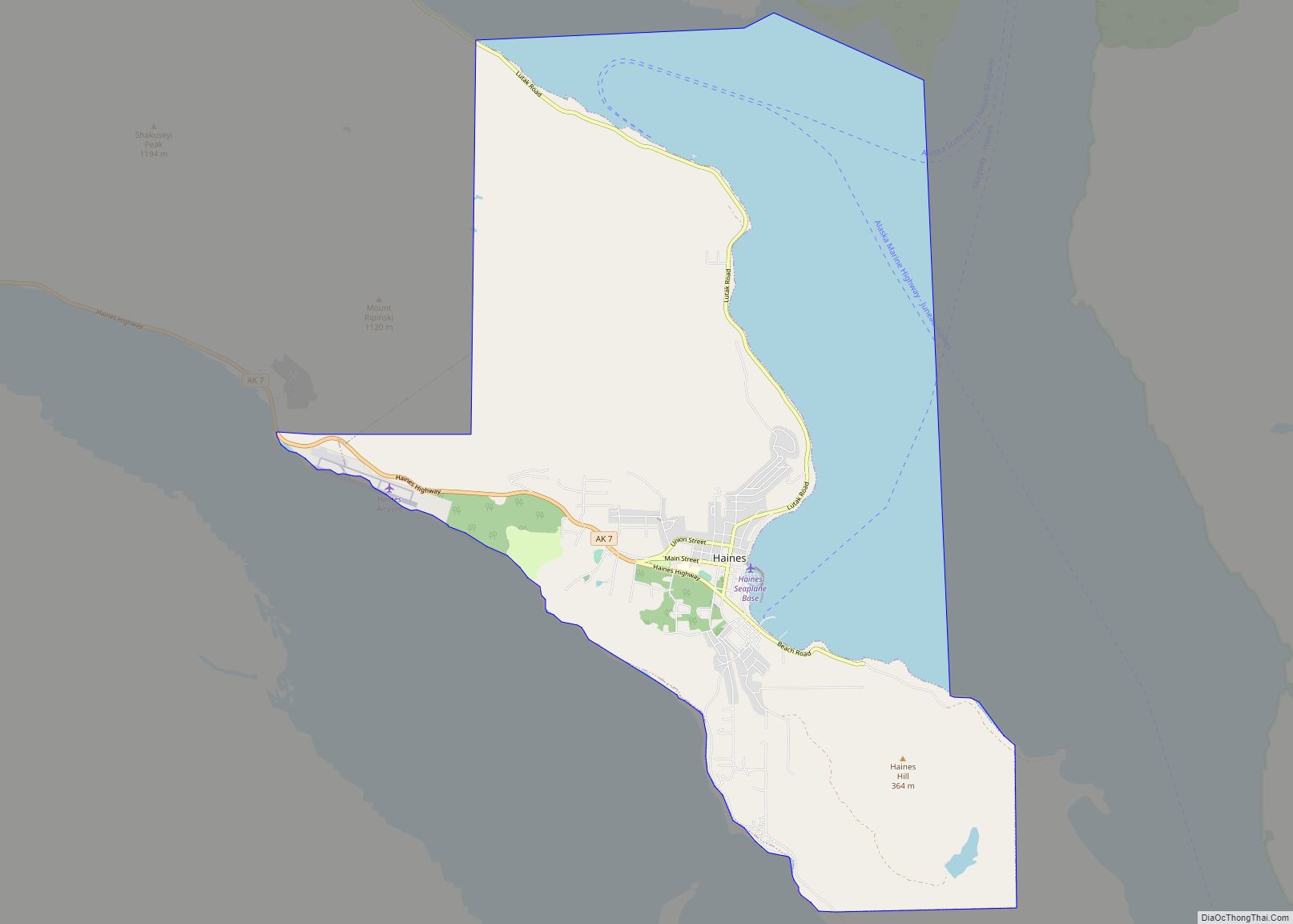
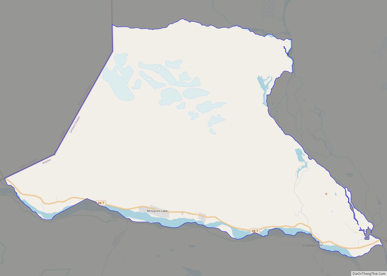
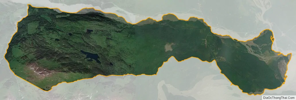
Covenant Life city Satellite Map
Geography
Covenant Life is located in northern Haines Borough at 59°24′0″N 136°4′35″W / 59.40000°N 136.07639°W / 59.40000; -136.07639 (59.400046, -136.076433), between the Klehini River to the north and the Tsirku River to the south. The eastern end of the CDP is at the Chilkat River. Covenant Life is bordered by the Mosquito Lake CDP to the north and by the community of Klukwan to the east. The turnoff to Covenant Life from Alaska Route 7 is 25 miles (40 km) northwest of Haines.
According to the United States Census Bureau, the CDP has a total area of 27.2 square miles (70.5 km), of which 27.1 square miles (70.1 km) are land and 0.2 square miles (0.5 km), or 0.64%, are water.
See also
Map of Alaska State and its subdivision:- Aleutians East
- Aleutians West
- Anchorage
- Bethel
- Bristol Bay
- Denali
- Dillingham
- Fairbanks North Star
- Haines
- Juneau
- Kenai Peninsula
- Ketchikan Gateway
- Kodiak Island
- Lake and Peninsula
- Matanuska-Susitna
- Nome
- North Slope
- Northwest Arctic
- Prince of Wales-Outer Ketchi
- Sitka
- Skagway-Yakutat-Angoon
- Southeast Fairbanks
- Valdez-Cordova
- Wade Hampton
- Wrangell-Petersburg
- Yukon-Koyukuk
- Alabama
- Alaska
- Arizona
- Arkansas
- California
- Colorado
- Connecticut
- Delaware
- District of Columbia
- Florida
- Georgia
- Hawaii
- Idaho
- Illinois
- Indiana
- Iowa
- Kansas
- Kentucky
- Louisiana
- Maine
- Maryland
- Massachusetts
- Michigan
- Minnesota
- Mississippi
- Missouri
- Montana
- Nebraska
- Nevada
- New Hampshire
- New Jersey
- New Mexico
- New York
- North Carolina
- North Dakota
- Ohio
- Oklahoma
- Oregon
- Pennsylvania
- Rhode Island
- South Carolina
- South Dakota
- Tennessee
- Texas
- Utah
- Vermont
- Virginia
- Washington
- West Virginia
- Wisconsin
- Wyoming