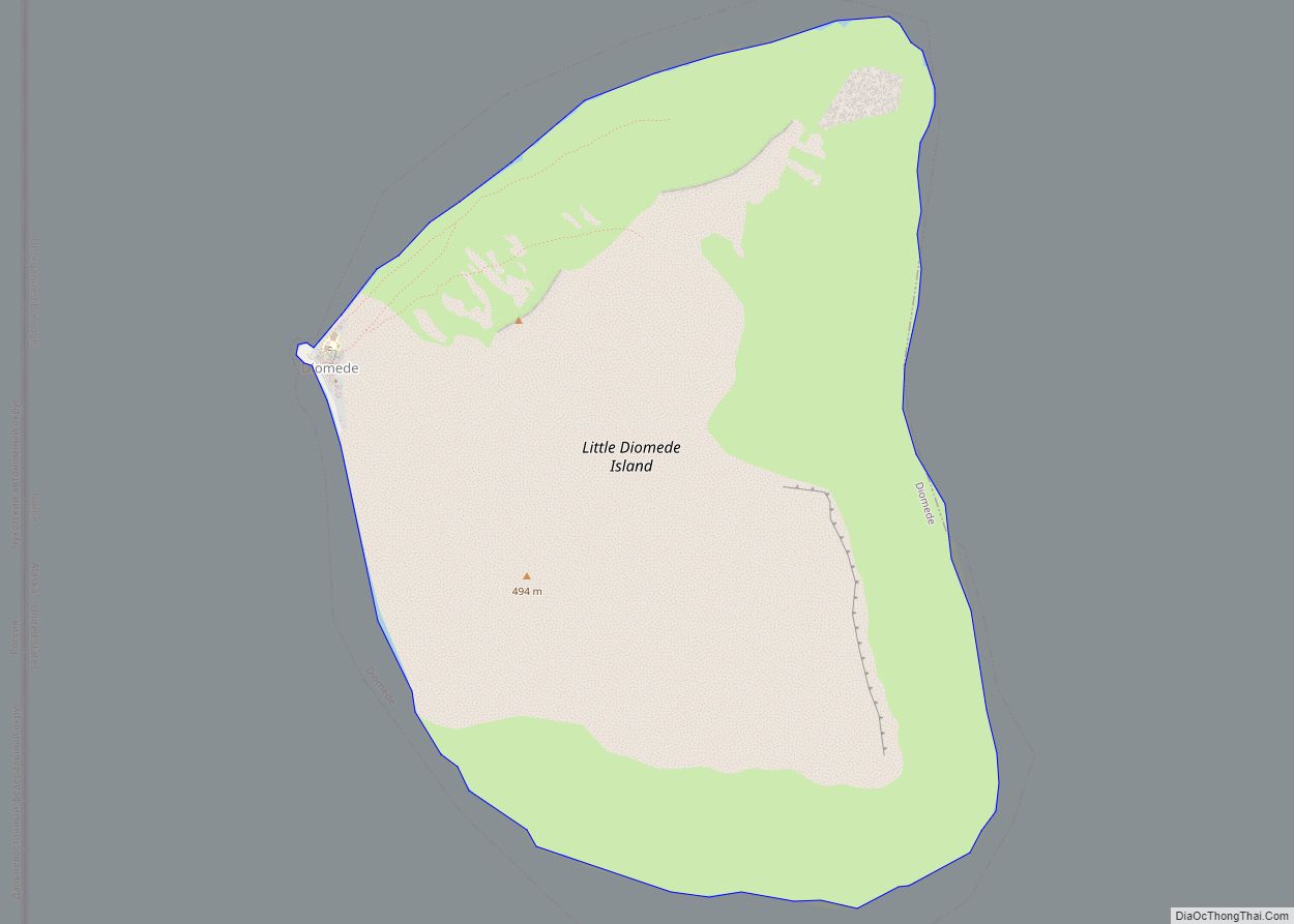
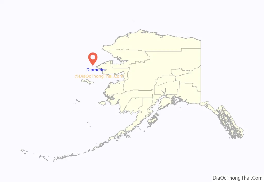
Diomede (Inupiaq: Iŋaliq, Russian: Диомид) is a city in the Nome Census Area of the Unorganized Borough of the U.S. state of Alaska, legally coterminous with Little Diomede Island. All the buildings are on the west coast of Little Diomede, which is the smaller of the two Diomede Islands located in the middle of the Bering Strait between the United States and the Russian Far East. Diomede is the only settlement on Little Diomede Island. The population is 82 people, down from 115 at the 2010 census and 146 in 2000.
Its native name Iŋaliq means “the other one” or “the one over there”. It is also imprecisely spelled Inalik.
| Name: | Diomede city |
|---|---|
| LSAD Code: | 25 |
| LSAD Description: | city (suffix) |
| State: | Alaska |
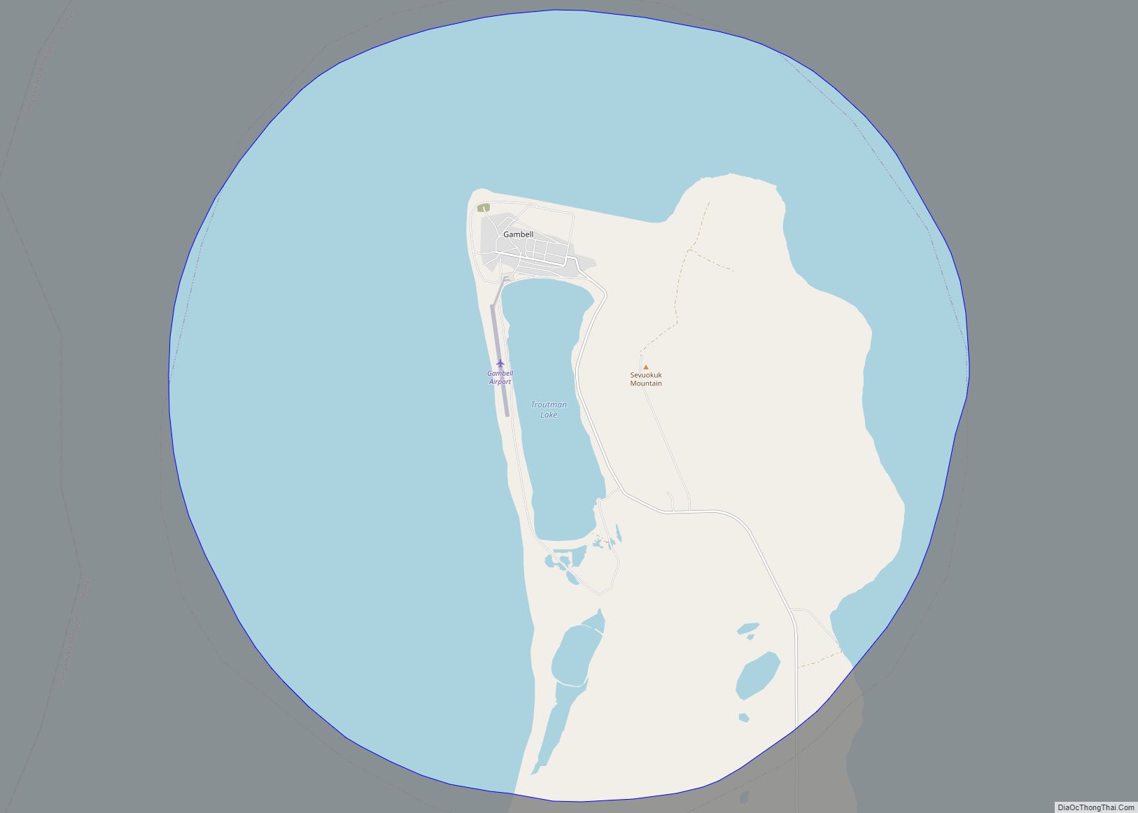
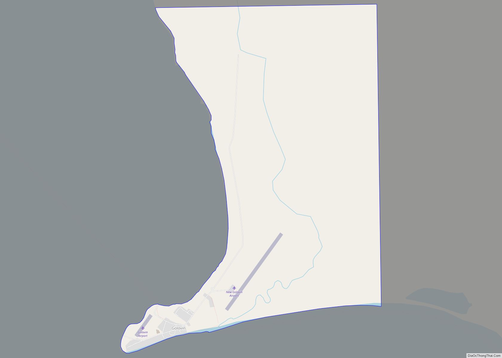
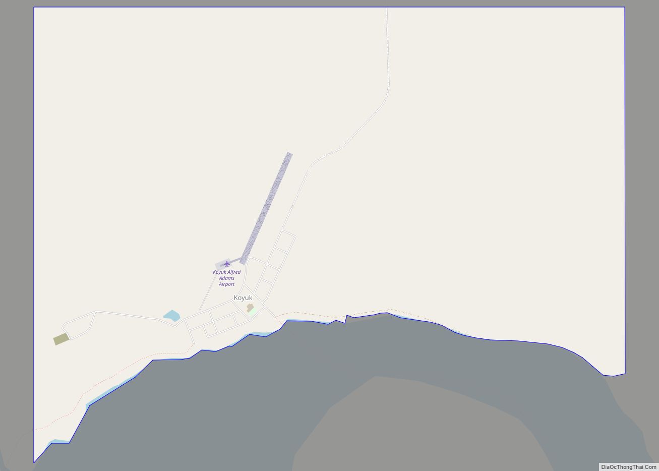
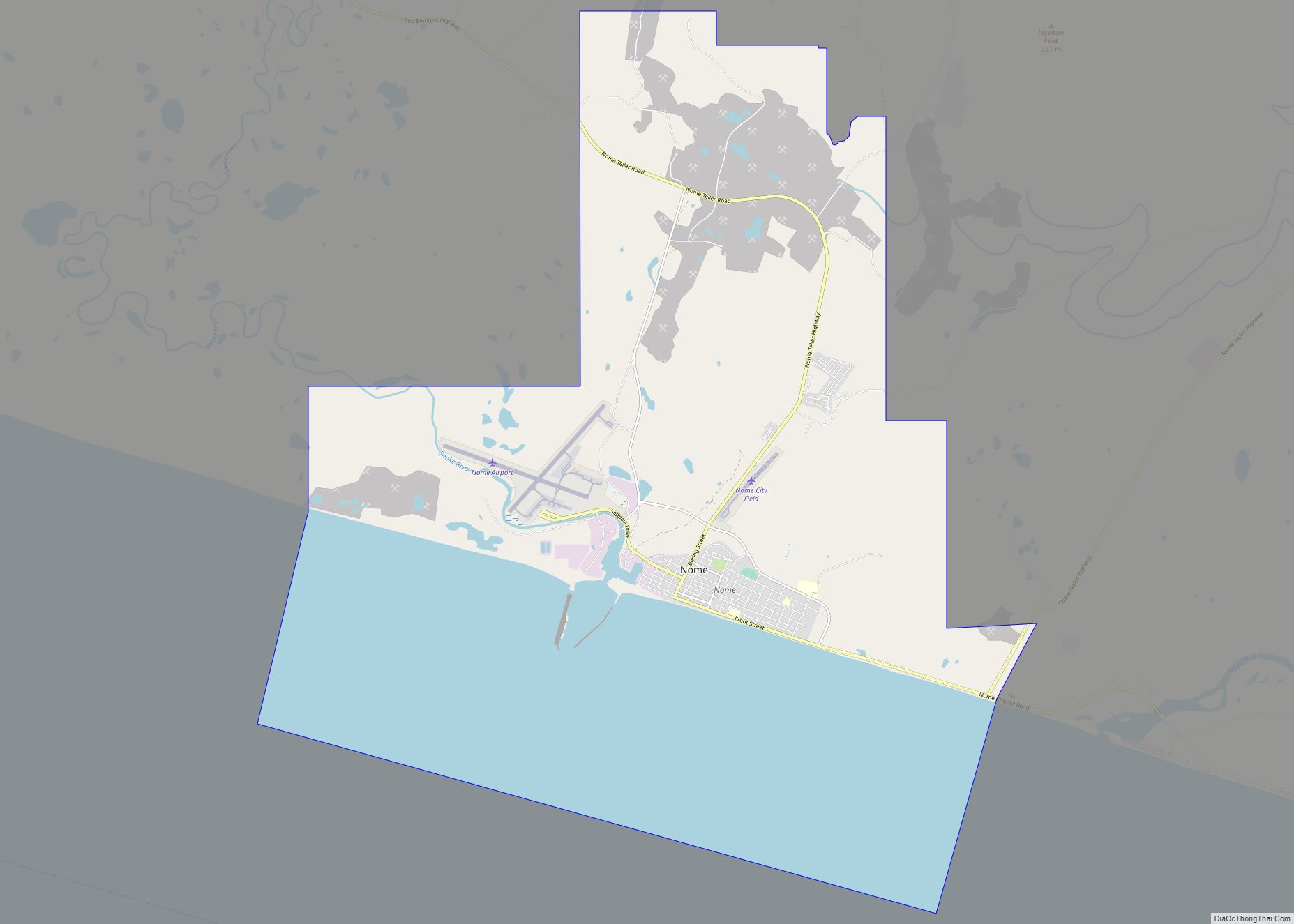
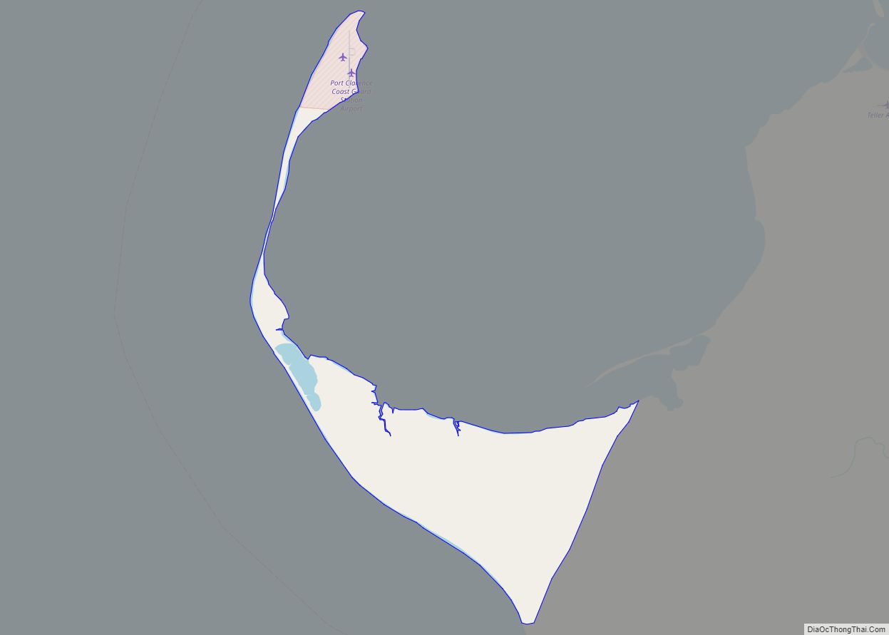
| County: | Nome Census Area |
| Incorporated: | October 28, 1970 |
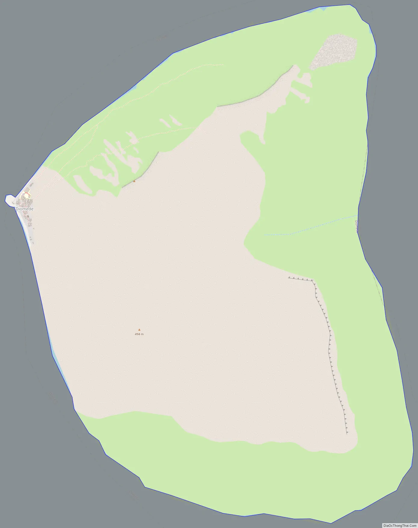
| Elevation: | 1,621 ft (494 m) |
| Total Area: | 2.43 sq mi (6.30 km²) |
| Land Area: | 2.43 sq mi (6.30 km²) |
| Water Area: | 0.00 sq mi (0.00 km²) |
| Total Population: | 83 |
| Population Density: | 33.72/sq mi (13.02/km²) |
| ZIP code: | 99762 |
| Area code: | 907 |
| FIPS code: | 0219060 |
Online Interactive Map
Click on ![]() to view map in "full screen" mode.
to view map in "full screen" mode.
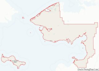
Diomede location map. Where is Diomede city?
History
The current location of the city is believed by some archaeologists to have been inhabited for at least 3,000 years. It was originally a spring hunting campsite and the early explorers from the west found the Iñupiat (Inuit) at Diomede had an advanced culture, including their elaborate whale hunting ceremonies. Trade occurred with both continents.
1648–1867
The first European to reach the Diomede Islands was Russian explorer Semyon Dezhnev, in 1648; the next was Danish navigator and explorer in Russian service Vitus Bering, who re-discovered the islands on August 16, 1728, and named the islands after martyr St. Diomede, who was celebrated in the Russian Orthodox Church on that date.
The United States purchased Alaska from Russia in 1867, including Little Diomede. A new boundary was drawn between the two Diomede Islands, and the Big Diomede was left to Russia.
1880s–1920s
According to naturalist John Muir, who visited the Diomede Islands in the 1880s, natives were eager to trade away everything they had. The village was perched on the steep rocky slope of the mountain, which has sheer drops into deep water. Huts were mostly built of stone with skin roofs
During the Nome gold rush at the turn of the 20th century, Diomede villagers traveled to Nome along with the gold seekers, even though Nome was not a native village. People from Diomede arrived in umiaks and stayed in Nome for the summer, trading and gathering items before they returned to their isolated village.
1940s
According to Arthur Ahkinga, who lived on Little Diomede island at the turn of the 1940s, the Iñupiat on the island made their living by hunting and carving ivory that they traded or sold. They caught fish such as bullheads, tomcods, bluecods. Whaling was still a major practice. During the winter, they used fur parkas and skin mukluks made out of hunted animals to protect themselves from the cold and wind. Recreational activities included skating, snowshoeing, handball, soccer and Inuit dancing. After dark, people spent the rest of the evening telling jokes and stories. In summer time, they traveled with skin boats equipped with outboard motors to Siberia or Wales, Alaska. Winter travel was limited to neighboring Big Diomede due to weather conditions. Between July and October, half the population went to Nome to sell their carvings and skins and trade for supplies.
Despite being separated by the new border after the Alaska purchase in 1867, Big Diomede had been home to families now living on Little Diomede, and the people living on the American side of the border were close relatives to those living on the Russian side. The communities on both islands were separated by politics but connected by family kinships. Despite being officially forbidden, the Inuit from both islands occasionally visited their neighbors, sometimes under the cover of fog, to meet their relatives and exchange small gifts. The local schoolteachers on Little Diomede counted 178 people from Big Diomede and the Siberian mainland who visited the island within six months, between January and July in 1944.
At the beginning of the Cold War in the late 1940s, Big Diomede became a USSR (Soviet Union) military base, and all its native residents were removed to mainland Russia. When people from Little Diomede went too close to the Russian side or tried to visit their relatives on the neighboring island during World War II, they were taken captive. According to one of the survivors, Oscar Ahkinga, after 52 days of internment and interrogation, the Iñupiat were banished and told not to come back.
1950s
The school year 1953–1954 on Little Diomede Island was adapted to better serve the local needs. Teaching took place throughout the holidays and also on some weekends in order to complete the 180 days of schooling before the walrus migration started in Spring. The annual walrus hunt was a major source of supplies and income and required the help of all inhabitants. The primary language at the time was Inupiat, and students were also taught English. The only means of communicating with the outside world was by so-called “Bush Phone,” provided through the Alaska Communication System station in Nome. Previously non-existent health care was improved with basic medication knowledge provided by seasonal teachers.
1970s
During the seventies, the village on Little Diomede was gradually inhabited as a permanent settlement and the entire island was incorporated into the city of Diomede in 1970.
1990s
In 1992, Little Diomede was formally recognized as a whaling community, per the AEWC. Little Diomede, though a whaling community prior to this, was not included in the formation of the AEWC and its needs were not taken into account in determining the bowhead quota for Inupiat and Yupik because of its remote location. After the Cold War ended in December 1991, interest in reuniting with families across the Bering Strait grew. In 1994, the people of Little Diomede island collected cash and groceries while local dancers practiced almost every night. The islanders prepared for a visit of more than one hundred friends and relatives from Siberia, and they wanted to be hospitable and generous hosts.
Diomede Road Map
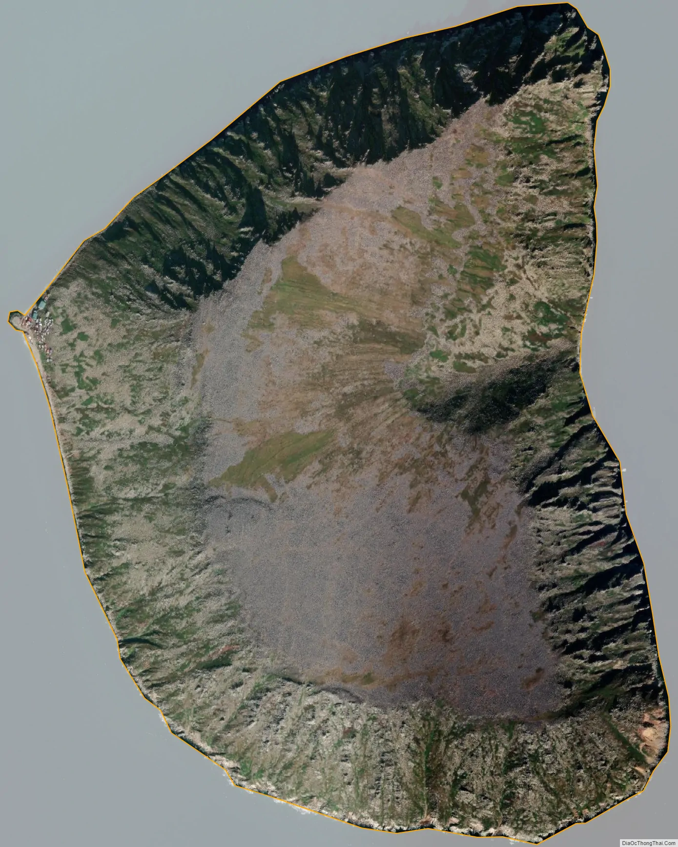
Diomede city Satellite Map
Geography
According to the United States Census Bureau, the village has a total area of 2.43 square miles (6.3 km), all of it land.
Little Diomede Island is located about 25 miles (40 km) west from the mainland, in the middle of the Bering Strait. It is only 0.6 miles (0.97 km) from the International Date Line and about 2.4 miles (3.9 km) from the Russian island of Big Diomede.
Geology
The Little Diomede island is composed of Cretaceous age granite or quartz monzonite. The city is located in the only area that does not have near-vertical cliffs to the water. Behind the city and around the entire island, rocky slopes rise at about 40° up to the relatively flattened top at 1,148–1,191 feet (350–363 m). The island has scant vegetation.
Climate
Diomede, although slightly south of the Arctic Circle, has a dry-summer polar climate (Köppen ETs), because the driest high-sun month (April) has less than one-third as much precipitation as the wettest high-sun month (October). The winters are icy and cold – colder than those of Nome despite the island location due to greater proximity to extremely cold Siberian air masses. The extreme moderating effect of the thawed Bering Sea produces very cool summers, with the result that most plants are unable to grow. The hottest summer ever experienced temperatures up to only 73 °F (22.8 °C).
See also
Map of Alaska State and its subdivision:- Aleutians East
- Aleutians West
- Anchorage
- Bethel
- Bristol Bay
- Denali
- Dillingham
- Fairbanks North Star
- Haines
- Juneau
- Kenai Peninsula
- Ketchikan Gateway
- Kodiak Island
- Lake and Peninsula
- Matanuska-Susitna
- Nome
- North Slope
- Northwest Arctic
- Prince of Wales-Outer Ketchi
- Sitka
- Skagway-Yakutat-Angoon
- Southeast Fairbanks
- Valdez-Cordova
- Wade Hampton
- Wrangell-Petersburg
- Yukon-Koyukuk
- Alabama
- Alaska
- Arizona
- Arkansas
- California
- Colorado
- Connecticut
- Delaware
- District of Columbia
- Florida
- Georgia
- Hawaii
- Idaho
- Illinois
- Indiana
- Iowa
- Kansas
- Kentucky
- Louisiana
- Maine
- Maryland
- Massachusetts
- Michigan
- Minnesota
- Mississippi
- Missouri
- Montana
- Nebraska
- Nevada
- New Hampshire
- New Jersey
- New Mexico
- New York
- North Carolina
- North Dakota
- Ohio
- Oklahoma
- Oregon
- Pennsylvania
- Rhode Island
- South Carolina
- South Dakota
- Tennessee
- Texas
- Utah
- Vermont
- Virginia
- Washington
- West Virginia
- Wisconsin
- Wyoming