Ester is a census-designated place (CDP) in Fairbanks North Star Borough, Alaska, United States. It is part of the Fairbanks, Alaska Metropolitan Statistical Area. The population in the CDP was 2,422 at the 2010 census, although there are only around 12 houses located inside of the village, the rest are in the surrounding area. The Ester Camp Historic District is a historic district listed on the National Register of Historic Places. Ester was founded as a gold mining camp in the early 1900s, and the economy has focused on mining and services for miners. The Ester Volunteer Fire Department, John Trigg Ester Library, Ester Historic Society and Ester Post Office serve residents in Ester and surrounding areas. There is also a convenience store and secular chapel on the outskirts of the village. Many artists, writers, and musicians reside in Ester.
| Name: | Ester CDP |
|---|---|
| LSAD Code: | 57 |
| LSAD Description: | CDP (suffix) |
| State: | Alaska |
| County: | Fairbanks North Star Borough |
| Elevation: | 722 ft (220 m) |
| Total Area: | 64.30 sq mi (166.55 km²) |
| Land Area: | 64.24 sq mi (166.37 km²) |
| Water Area: | 0.07 sq mi (0.17 km²) |
| Total Population: | 2,416 |
| Population Density: | 37.61/sq mi (14.52/km²) |
| ZIP code: | 99725 |
| Area code: | 907 |
| FIPS code: | 0223460 |
| GNISfeature ID: | 1397658 |
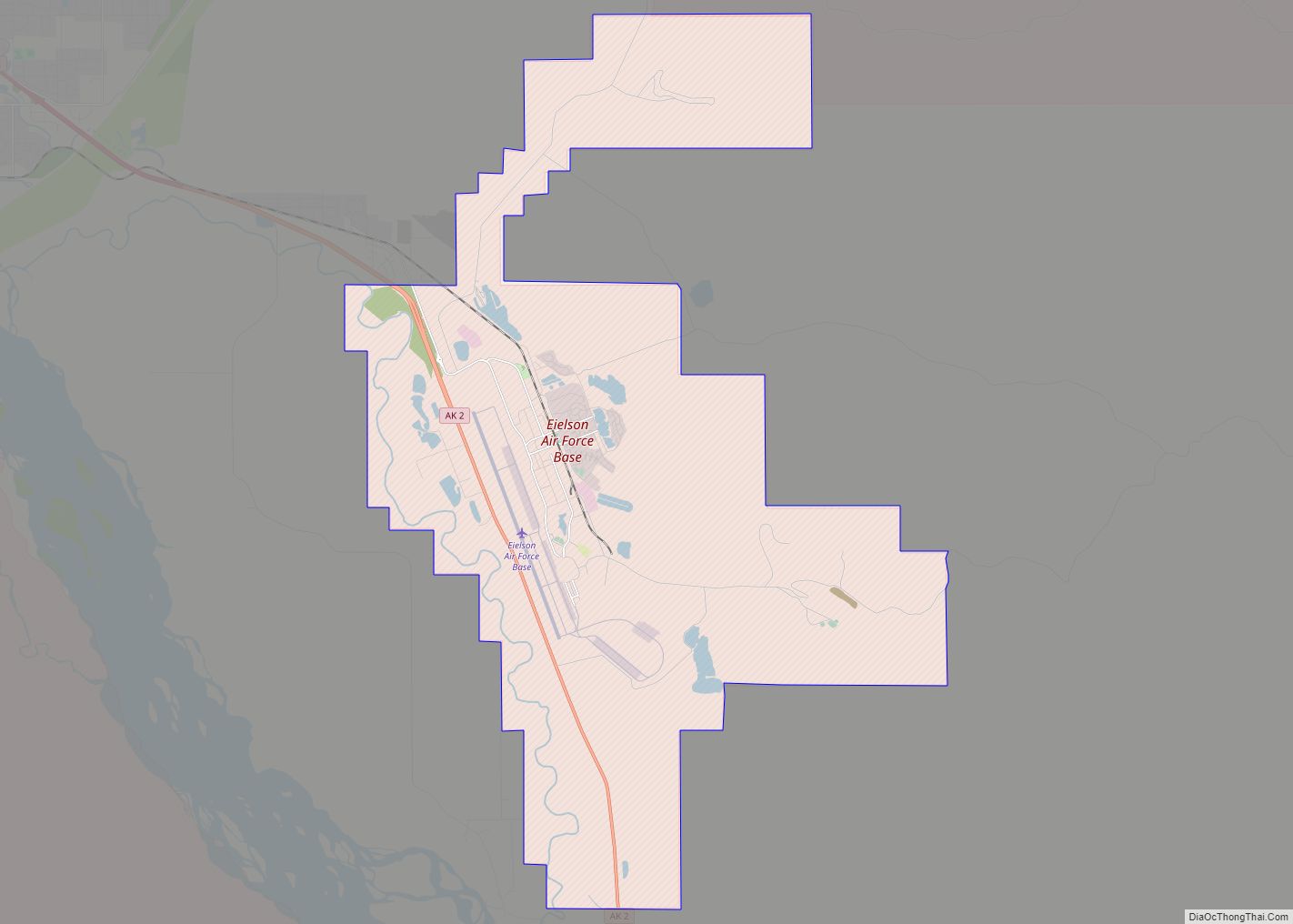
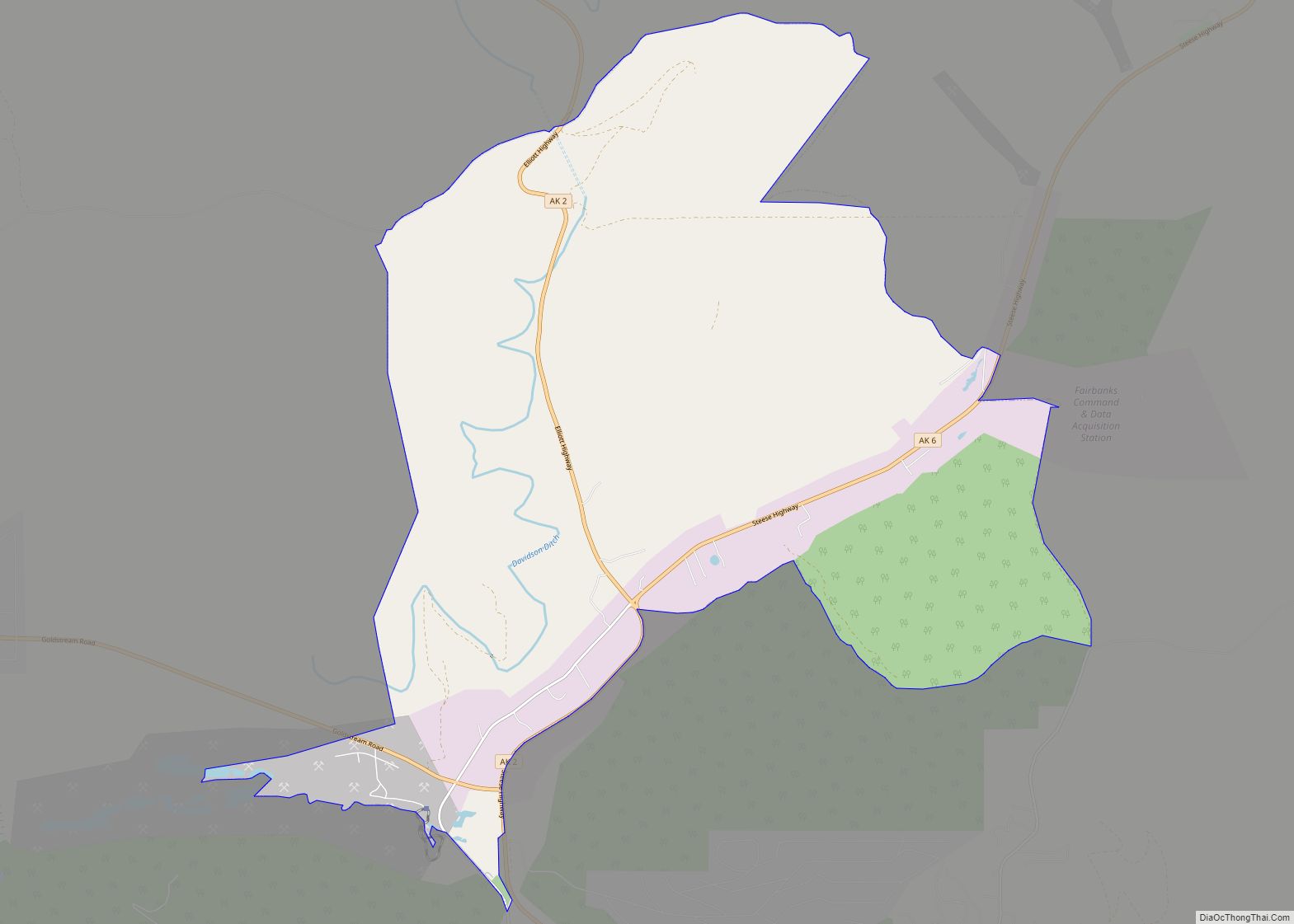
Online Interactive Map
Click on ![]() to view map in "full screen" mode.
to view map in "full screen" mode.
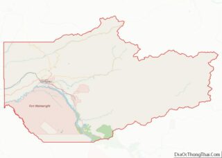
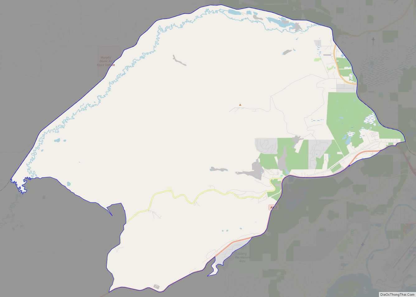
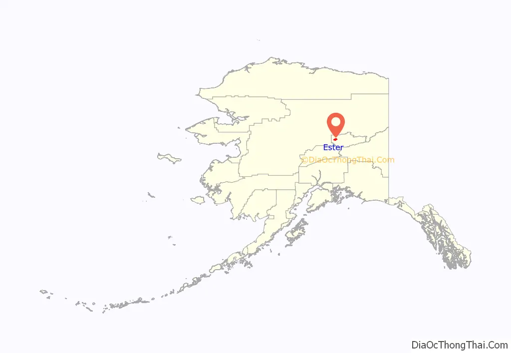
Ester location map. Where is Ester CDP?
History
Early history and founding
Ester was originally a gold mining camp on Ester Creek, with the first claim staked in February 1903 by Latham A. Jones. Jones worked with the Eagle Mining Company, the biggest claimholder on Glen Gulch in the Rampart mining district, but it was an independent miner, John “Jack” Mihalcik, a Czechoslovakian immigrant born in 1866, who was the first person to actually discover gold in Ester Creek. Mihalcik staked his claim in November 1903 but the news of the discovery of gold did not become public until the following February. By 1907, Ester City had a population of around 200 people, with a thriving mining industry. A social hall was completed in 1907 and was well-known throughout the mining district for its dance floor. The hall was used for religious services as well as dances, movies, card games, parties, and other entertainment purposes. The town had five saloons and two hotels. In 1908 and 1910, the hall was the site of campaign speeches by candidates for the seat of Territorial Delegate. (Labor won in 1908, but Judge James Wickersham won the Ester precinct in 1910.) By 1909, Ester City had a baseball field, a doctor, a mine workers’ union local, and a teacher, but gold production was beginning to decline.
The Berry Post Office moved in 1910 from near the Berry brothers’ claim about two miles downstream from Ester City into J.C. Kinney’s general store in Ester. The post office retained the name of Berry until 1965, when it was finally changed to that of the town it had been in for 55 years. In the mid-1920s, the Fairbanks Exploration Company began buying claims on Ester Creek, started operations in 1929, and in 1933 built a mess hall for their camp in Ester. The buildings are now a historic landmark used until 2008 as a tourist attraction, restaurant, and hotel. The F.E. Company revitalized the town, reshaping it to do large-scale open-pit mining using enormous floating dredges and draglines. In the process, much of the original sites of Berry and Ester were removed.
Since 1940
The Ester Community Association was founded in 1941. In 1958, The F.E. Company sold their Ester camp, and it reopened under new management as a historic resort. The Cripple Creek Resort, which later became the Ester Gold Camp, featured a musical variety show including Robert W. Service’s poetry, held the Malemute Saloon, a local bar, featuring Service’s poem, “The Shooting of Dan McGrew”, until the resort closed in 2007. The Malemute Saloon continues to operate on selected weekends during the summer, and often features live music by local bands. In 1974, the Ester Volunteer Fire Department was officially founded after nearly a century of bucket brigades. Gold mining continued on a small scale. In 1986, the Ester Community Association, working with the Fairbanks North Star Borough, built the Ester Community Park, which became a local center of social activity. In 2017, the Ester Community Association purchased the park from a local resident, holding chili feeds, music festivals, and other fundraising events.
In 1987, the eleven surviving buildings of the F.E. Company’s camp were listed on the National Register of Historic Places.
In 1988, Mushing magazine began publication in Ester and continued to be produced and published there until it was sold in 2005. The town became the site of a sled dog stage race between Ester and Nenana and back again, the Fireplug Sled Dog Race, which was held for ten years, from 1990 to 2001, and in which many famous mushers participated, including Dean Seibold and Jeff King. In January 1999, the town’s first newspaper, The Ester Republic, was founded by Deirdre Helferrich; it was published regularly until 2015, and now is published sporadically. In August 1999, the John Trigg Ester Library (JTEL) opened a membership library named after a local resident who had started a book exchange in a nearby bar. In 2012, the JTEL received a donation of a local log cabin built in the 1940s and relocated many of its holdings to the new space. Today, the village features two saloons, five publishers, a library, a community hall, a secular chapel, a post office with its own zip code (99725), silversmiths and other artisans, numerous art studios, about two dozen homes, most of which were built by their owners, and three active gold mines. There is a fire station, a small store, and a secular chapel on the outskirts of the village.
The Ester Historic Society was founded in 2018. Its collection was donated by local residents and contains historical photographs, letters, and other documents. Along with the John Trigg Ester Library, the Ester Historic Society hosts talks and book readings about Ester and the surrounding area.
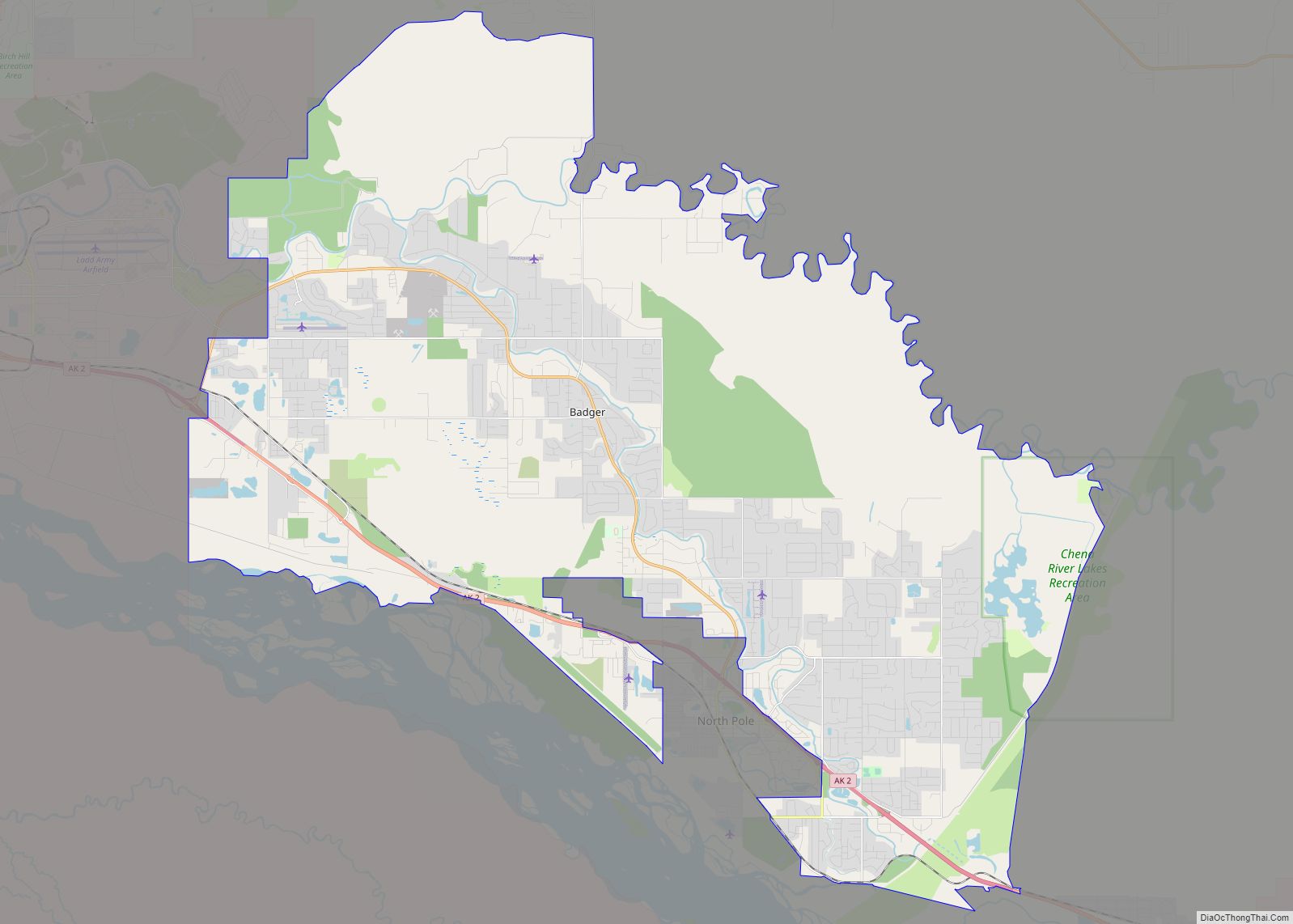
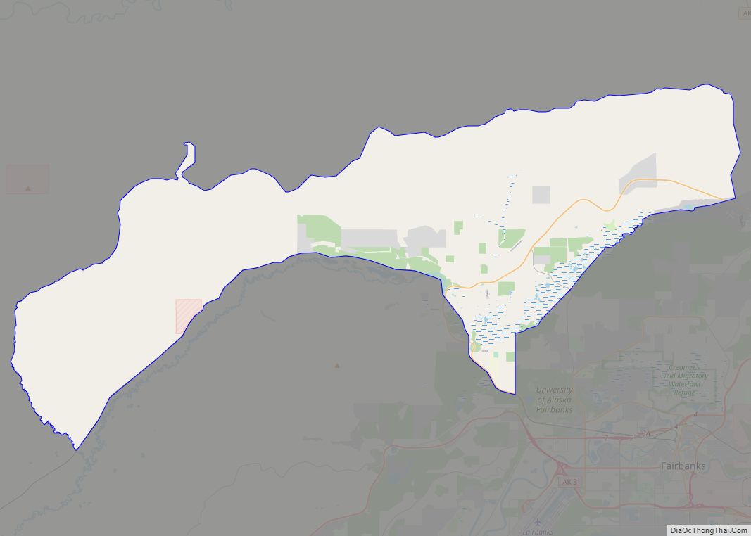
Ester Road Map
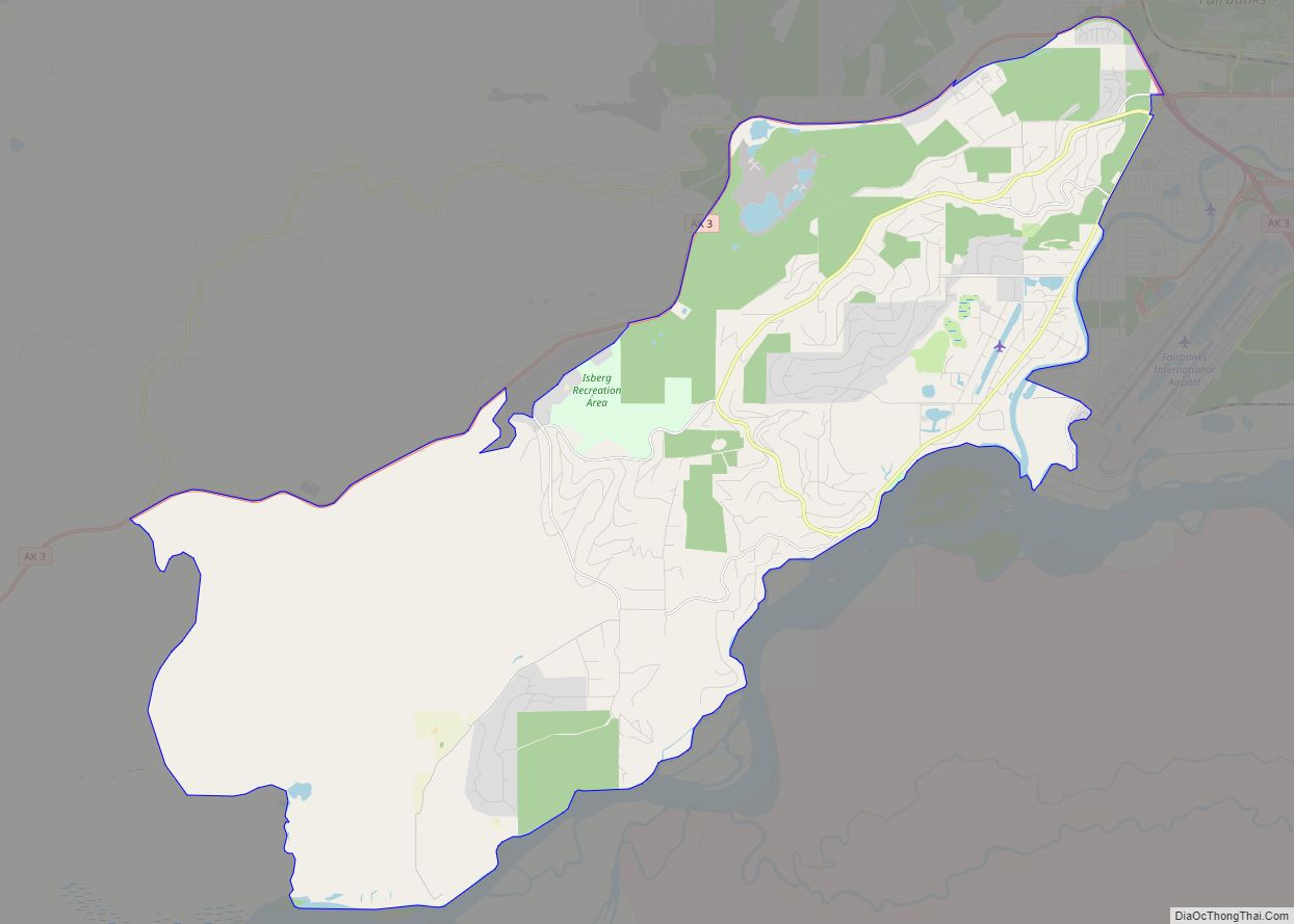
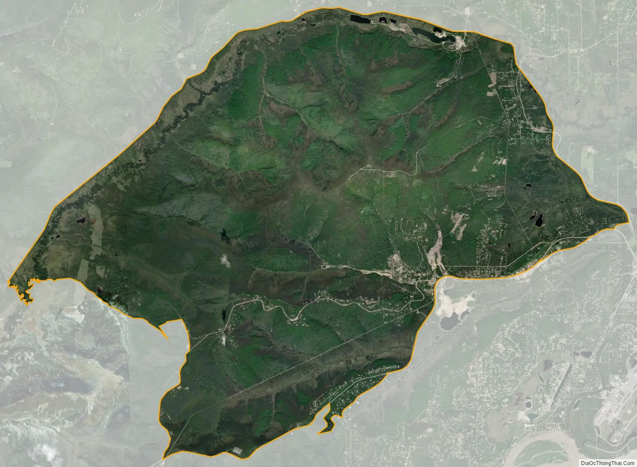
Ester city Satellite Map
Geography
Ester is located at 64°51′21″N 147°58′42″W / 64.85583°N 147.97833°W / 64.85583; -147.97833 (64.855700, -147.978434).
According to the United States Census Bureau, the CDP has a total area of 64.3 square miles (166.5 km), of which 64.2 square miles (166.4 km) is land and 0.04 square miles (0.1 km), or 0.08%, is water.
Ester Community Park
Ester has a well-used park, maintained and improved by the Ester Community Association’s Park Committee and other volunteers from the community. The park has an ice rink that doubles as a basketball court in the summer, a children’s playground, a picnic pavilion, a stage, and a soccer field. The park, situated next to the Ester Volunteer Fire Department, is the site of numerous soccer games, Ester Football League games, broomball, the Fourth of July picnic, musical gatherings, and other events throughout the year. In the summer, there is a farmers’ market on Thursday evenings where local farmers and gardeners sell their goods. In 2017, the Ester Community Association purchased the park from a local landowner.
The village square
Ester village wraps around a square at the foot of Ester Lump, the name of a bump on the side of Ester Dome. This “town square” is actually the parking lot of the Golden Eagle Saloon, divided in two sections by Main Street, but functions as a focal point and central gathering place during celebrations such as the Fourth of July and New Year’s Eve. Private residences, the John Trigg Ester Library, and the Golden Eagle Saloon surround the square.
Tailings
Due to the mining in the area, Ester is currently surrounded by piles of gravel and dirt tailings.
Climate
Ester has a subarctic climate (Köppen Dfc).
See also
Map of Alaska State and its subdivision:- Aleutians East
- Aleutians West
- Anchorage
- Bethel
- Bristol Bay
- Denali
- Dillingham
- Fairbanks North Star
- Haines
- Juneau
- Kenai Peninsula
- Ketchikan Gateway
- Kodiak Island
- Lake and Peninsula
- Matanuska-Susitna
- Nome
- North Slope
- Northwest Arctic
- Prince of Wales-Outer Ketchi
- Sitka
- Skagway-Yakutat-Angoon
- Southeast Fairbanks
- Valdez-Cordova
- Wade Hampton
- Wrangell-Petersburg
- Yukon-Koyukuk
- Alabama
- Alaska
- Arizona
- Arkansas
- California
- Colorado
- Connecticut
- Delaware
- District of Columbia
- Florida
- Georgia
- Hawaii
- Idaho
- Illinois
- Indiana
- Iowa
- Kansas
- Kentucky
- Louisiana
- Maine
- Maryland
- Massachusetts
- Michigan
- Minnesota
- Mississippi
- Missouri
- Montana
- Nebraska
- Nevada
- New Hampshire
- New Jersey
- New Mexico
- New York
- North Carolina
- North Dakota
- Ohio
- Oklahoma
- Oregon
- Pennsylvania
- Rhode Island
- South Carolina
- South Dakota
- Tennessee
- Texas
- Utah
- Vermont
- Virginia
- Washington
- West Virginia
- Wisconsin
- Wyoming