Excursion Inlet (Lingít: Ḵuyeiḵ’ L’e.aan) is a census-designated place (CDP) in Haines Borough in the U.S. state of Alaska. The population was 40 at the 2020 census, up from 12 in 2010.
| Name: | Excursion Inlet CDP |
|---|---|
| LSAD Code: | 57 |
| LSAD Description: | CDP (suffix) |
| State: | Alaska |
| County: | Haines Borough |
| Elevation: | 79 ft (24 m) |
| Total Area: | 56.55 sq mi (146.47 km²) |
| Land Area: | 56.41 sq mi (146.11 km²) |
| Water Area: | 0.14 sq mi (0.36 km²) |
| Total Population: | 40 |
| Population Density: | 0.71/sq mi (0.27/km²) |
| Area code: | 907 |
| FIPS code: | 0223900 |
| GNISfeature ID: | 1401951 |
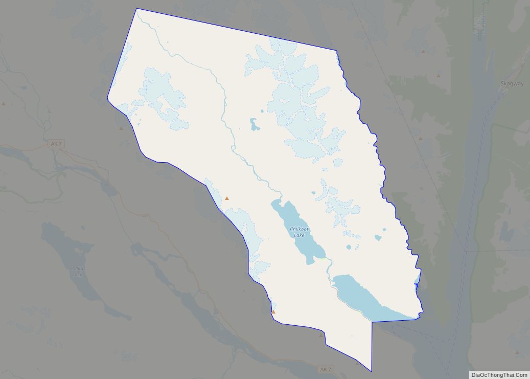
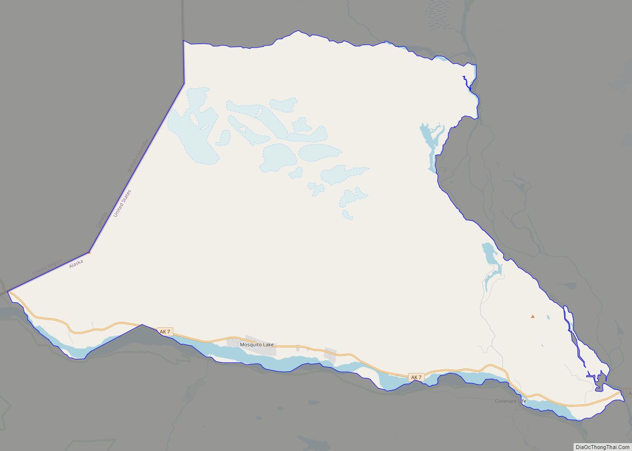
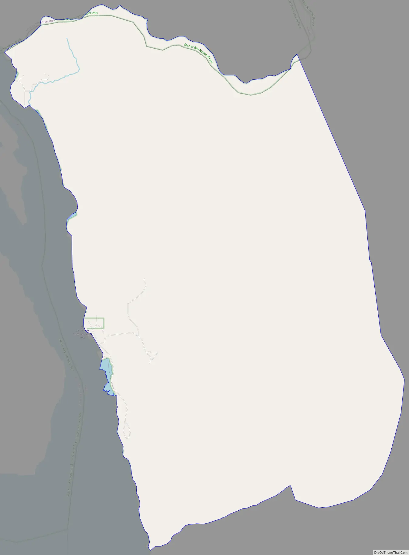
Online Interactive Map
Click on ![]() to view map in "full screen" mode.
to view map in "full screen" mode.
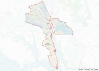
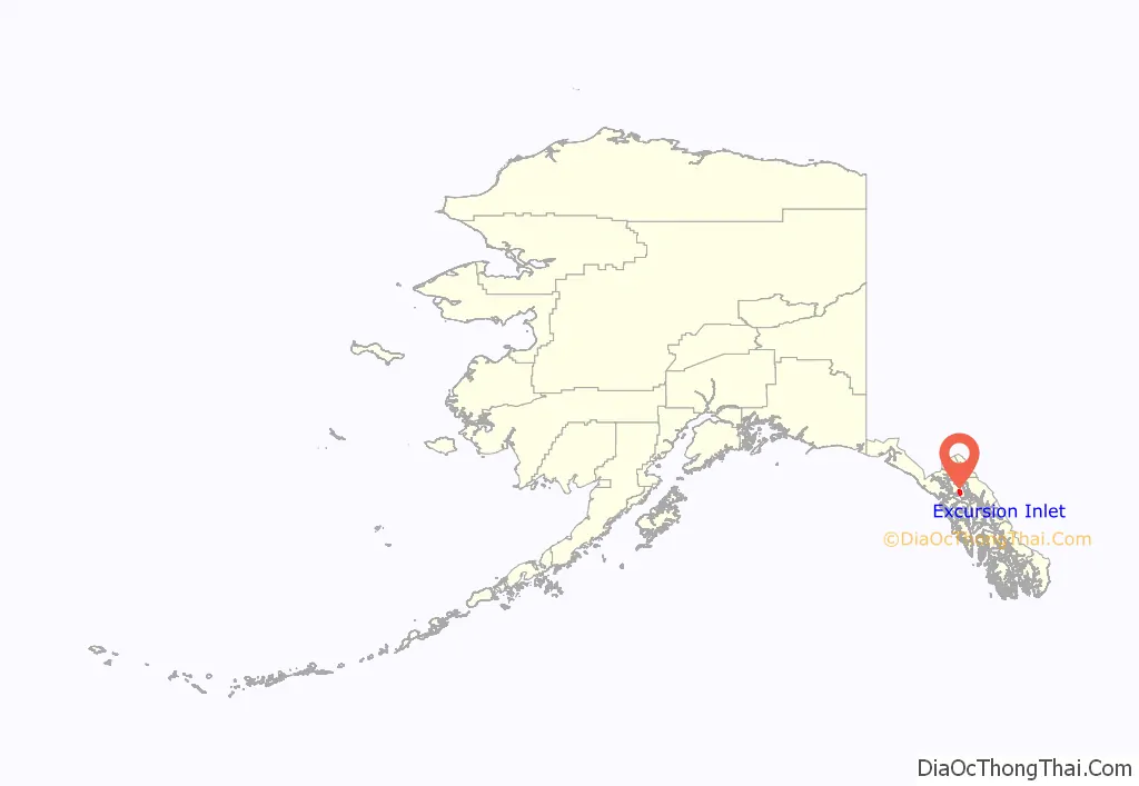
Excursion Inlet location map. Where is Excursion Inlet CDP?
History
Excursion Inlet was originally an Alaska Native settlement, one of several locations where the Huna Tlingit dispersed around 1750 (Little Ice Age) when the glaciers of present day Glacier Bay Basin advanced into Icy Strait. Excursion Inlet has had a fishing cannery since 1891. The current plant, constructed in 1918, still functions to this day. It mostly processes pink and chum salmon, as well as salmon roe, salmon caviar, halibut and sablefish. It is located near the mouth of the inlet, about 40 miles (64 km) west of Juneau. Its seasons run from late June to mid-September. Excursion Inlet Cannery is one of the largest fish canneries in the world and was acquired by Ocean Beauty Seafoods in 2003.
During the early stages of American involvement in World War II, the United States Army built a major barge terminal at Excursion Inlet. Capable of handling large ocean-going cargo ships and intended to be manned by thousands of soldiers, the terminal was built to serve as a logistics base for the Army’s efforts to liberate the Aleutian Islands from their Japanese invaders. However, by the time the terminal was completed in late 1943, the Aleutian Campaign was effectively over, and the terminal had no evident future purpose. When the facility’s existence became public knowledge in early 1945, newspapers decried it as a wasteful boondoggle, and the Army opted to quietly shut it down. German prisoners of war were later brought in to dismantle the base and salvage usable materials. The docks and some of the buildings were sold to the cannery and remain standing today.
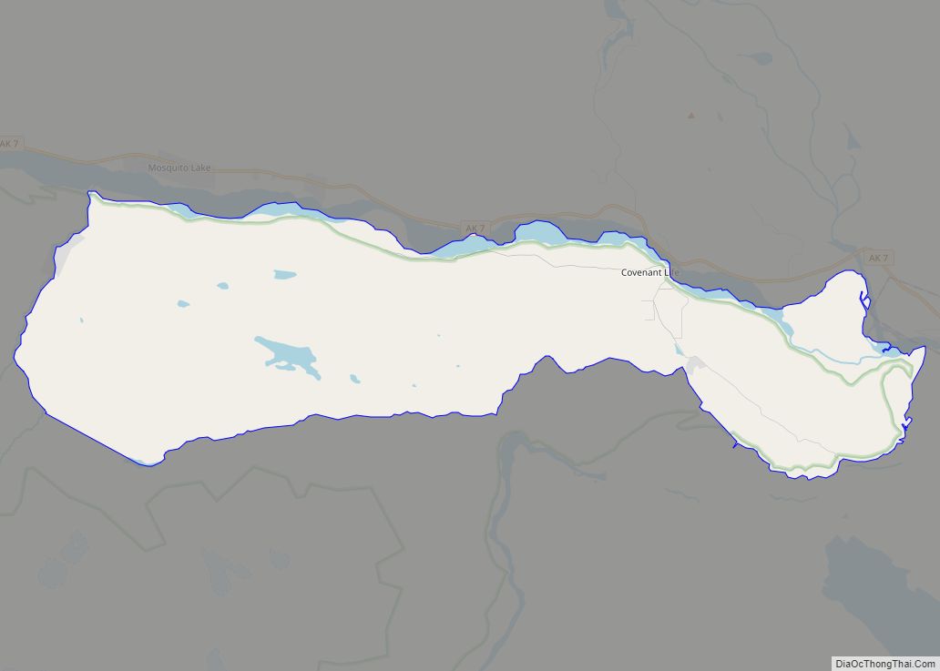
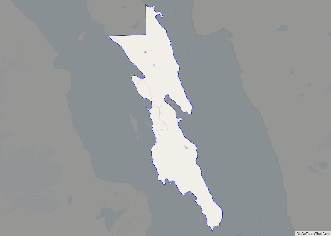
Excursion Inlet Road Map
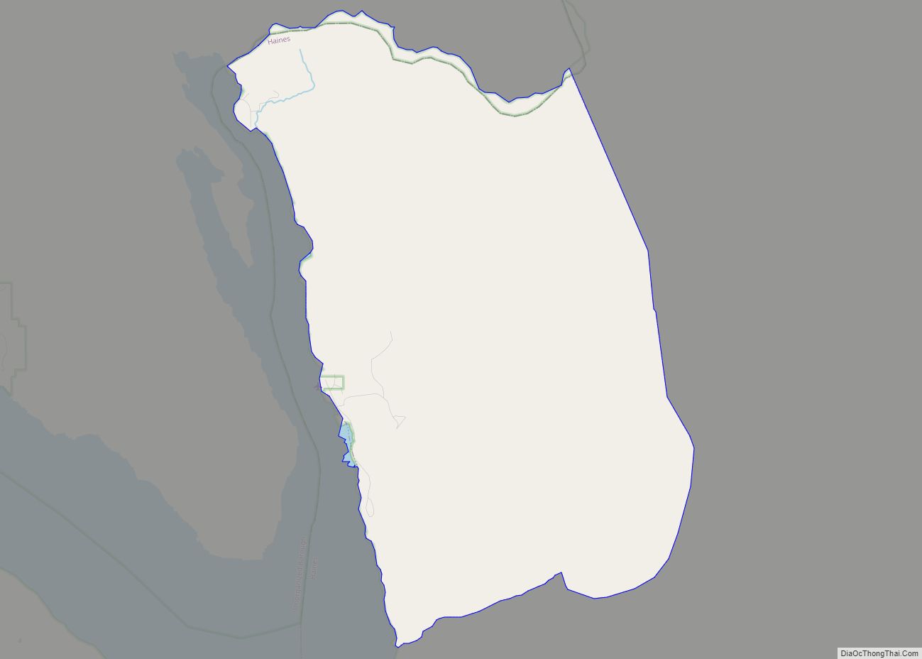
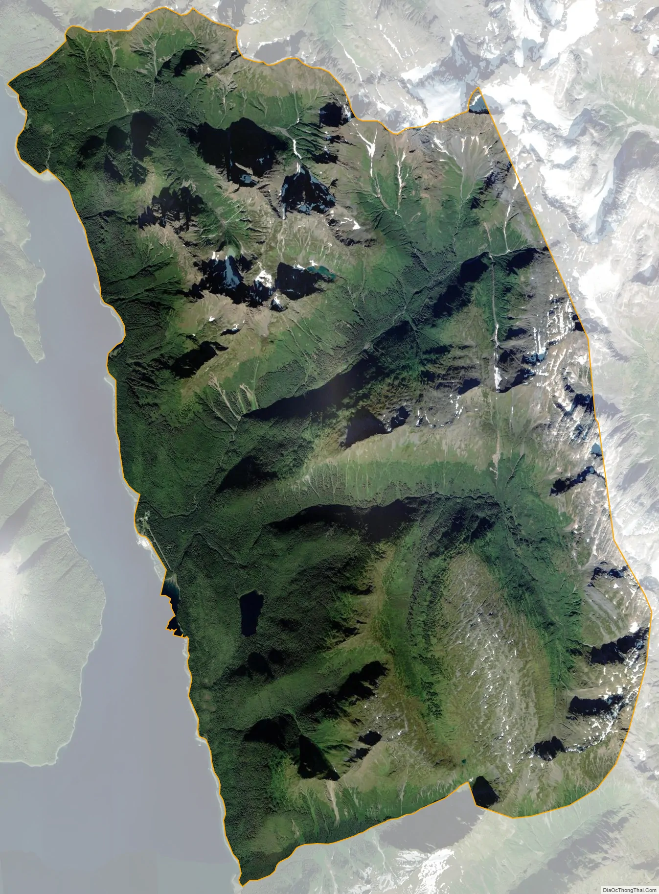
Excursion Inlet city Satellite Map
Geography
The community of Excursion Inlet is located in southern Haines Borough at 58°24′41″N 135°24′31″W / 58.41139°N 135.40861°W / 58.41139; -135.40861 (58.411303, -135.408740), on the east side of Excursion Inlet, an arm of the Icy Strait. The CDP extends north to the boundary of Glacier Bay National Park near the head of Excursion Inlet, south to the mouth of Excursion Inlet, and east to the crest of the Chilkat Range.
According to the United States Census Bureau, the CDP has a total area of 55.4 square miles (143.5 km), of which 55.3 square miles (143.2 km) are land and 0.2 square miles (0.4 km), or 0.25%, are water.
See also
Map of Alaska State and its subdivision:- Aleutians East
- Aleutians West
- Anchorage
- Bethel
- Bristol Bay
- Denali
- Dillingham
- Fairbanks North Star
- Haines
- Juneau
- Kenai Peninsula
- Ketchikan Gateway
- Kodiak Island
- Lake and Peninsula
- Matanuska-Susitna
- Nome
- North Slope
- Northwest Arctic
- Prince of Wales-Outer Ketchi
- Sitka
- Skagway-Yakutat-Angoon
- Southeast Fairbanks
- Valdez-Cordova
- Wade Hampton
- Wrangell-Petersburg
- Yukon-Koyukuk
- Alabama
- Alaska
- Arizona
- Arkansas
- California
- Colorado
- Connecticut
- Delaware
- District of Columbia
- Florida
- Georgia
- Hawaii
- Idaho
- Illinois
- Indiana
- Iowa
- Kansas
- Kentucky
- Louisiana
- Maine
- Maryland
- Massachusetts
- Michigan
- Minnesota
- Mississippi
- Missouri
- Montana
- Nebraska
- Nevada
- New Hampshire
- New Jersey
- New Mexico
- New York
- North Carolina
- North Dakota
- Ohio
- Oklahoma
- Oregon
- Pennsylvania
- Rhode Island
- South Carolina
- South Dakota
- Tennessee
- Texas
- Utah
- Vermont
- Virginia
- Washington
- West Virginia
- Wisconsin
- Wyoming