Golovin (formerly Chinik, from Inupiaq: Siŋik or Central Yupik: Cingik; Russian: Головин) is a city in Nome Census Area, Alaska, United States. At the 2010 census the population was 156, up from 144 in 2000.
| Name: | Golovin city |
|---|---|
| LSAD Code: | 25 |
| LSAD Description: | city (suffix) |
| State: | Alaska |
| County: | Nome Census Area |
| Incorporated: | March 26, 1971 |
| Elevation: | 43 ft (13 m) |
| Total Area: | 4.13 sq mi (10.71 km²) |
| Land Area: | 4.13 sq mi (10.71 km²) |
| Water Area: | 0.00 sq mi (0.00 km²) |
| Total Population: | 175 |
| Population Density: | 42.32/sq mi (16.34/km²) |
| Area code: | 907 |
| FIPS code: | 0229180 |
| GNISfeature ID: | 1402760 |
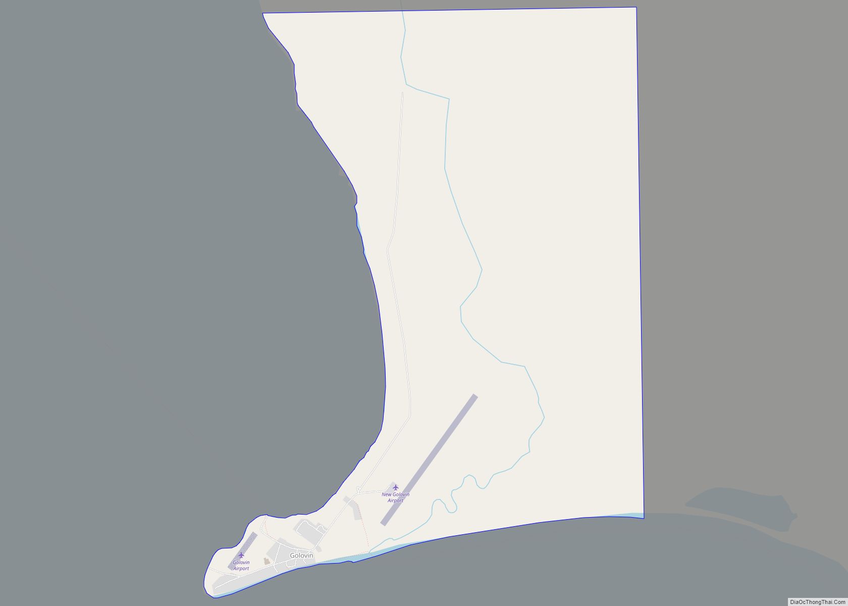
Online Interactive Map
Click on ![]() to view map in "full screen" mode.
to view map in "full screen" mode.
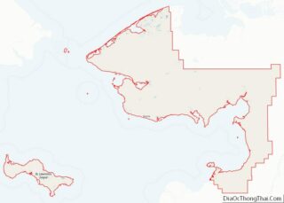
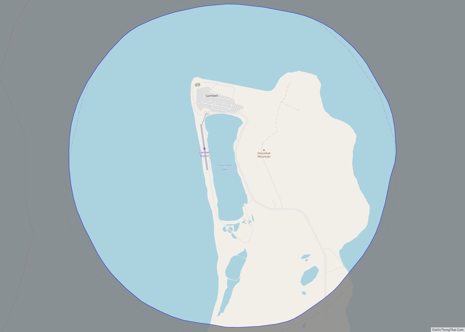
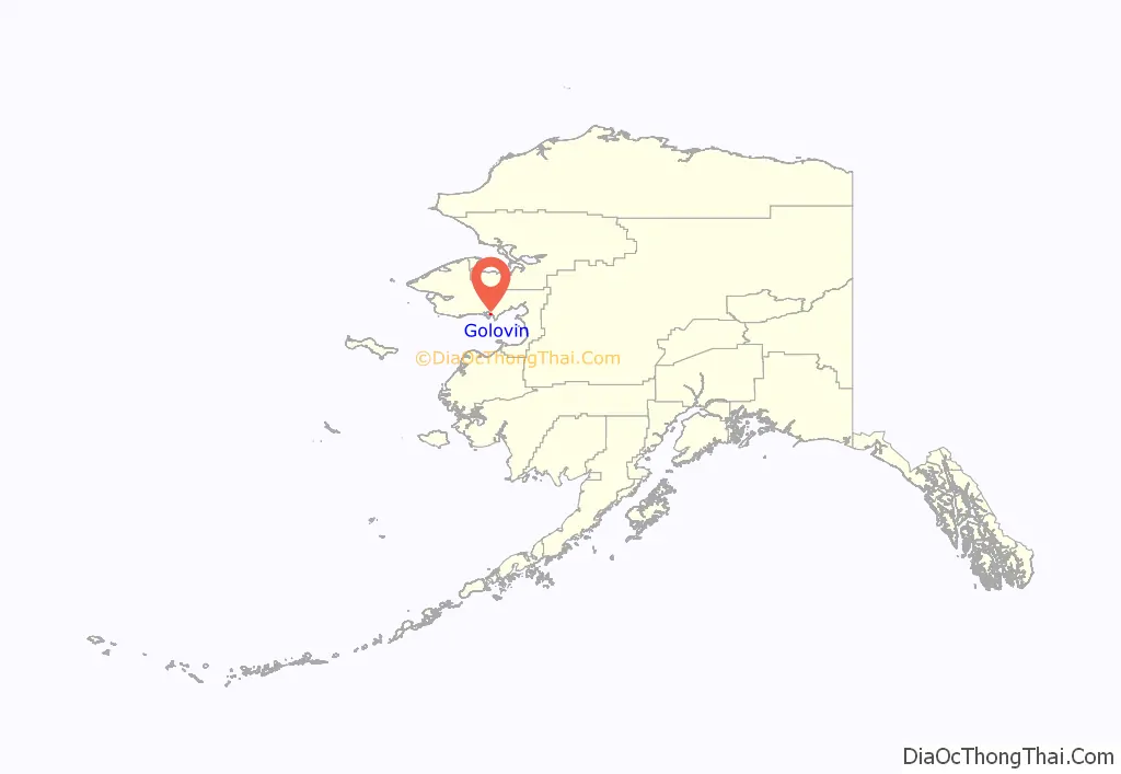
Golovin location map. Where is Golovin city?
History
Golovin was originally an Inupiat village called Chiŋik.
Golovin was named for Captain Vasily Golovnin of the Russian Navy, who visited Alaska to inspect the workings of the Russian-American Company in 1807–1809, in the Diana, and in 1817–1819, in the Kamchatka, while circumnavigating the world. Lt. Lavrenty Zagoskin, from the Imperial Russian Navy sent to Alaska to scout locations for trading posts, reported the village as “Ikalikguigmyut” in 1842. In 1867, the Mission Covenant of Sweden established a church and school south of the current site of Golovin. Around 1890, John Dexter established a trading post that became the center for swapping prospecting information for the entire Seward Peninsula. Gold was discovered in 1898 at Council and Golovin became a supply point for the gold fields. Supplies were unloaded from ships at Golovin and shipped across Golovnin Lagoon and up the Fish and Niukluk Rivers to Council.
When gold was discovered in what is now Nome, much of the mining and shipping activity moved there and Golovin declined in population.
Reindeer herding was introduced in the area about 1900.
Golovin is used as a checkpoint on the Iditarod in Nome, Alaska.
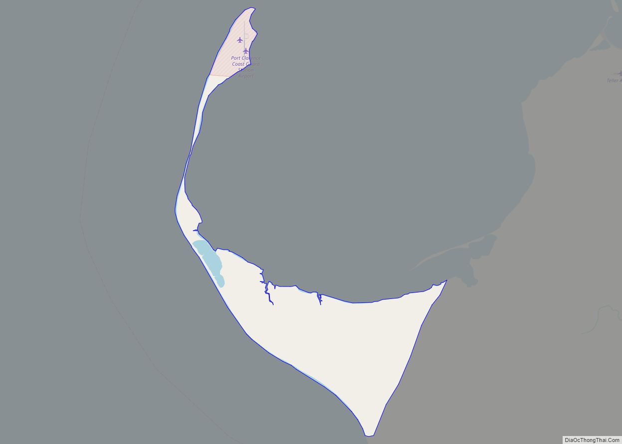
Golovin Road Map
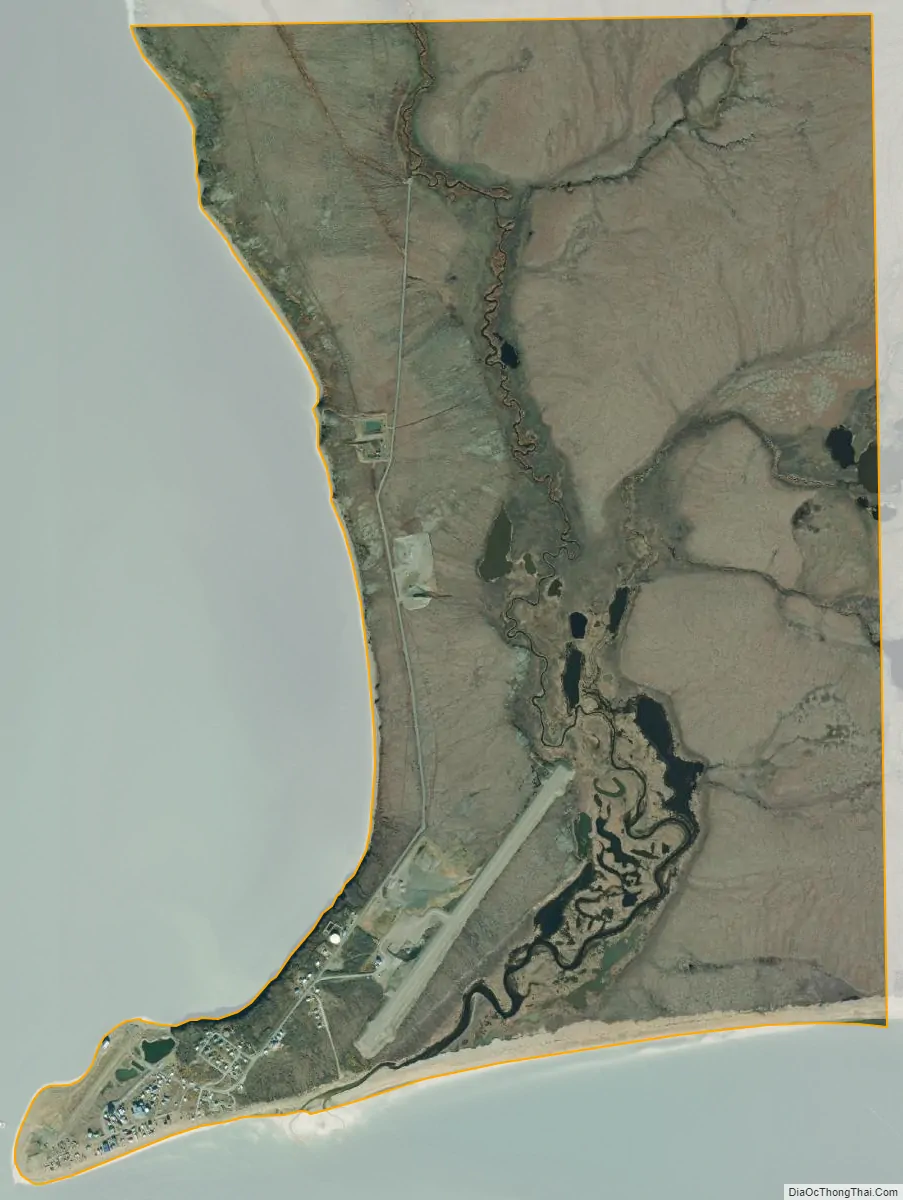
Golovin city Satellite Map
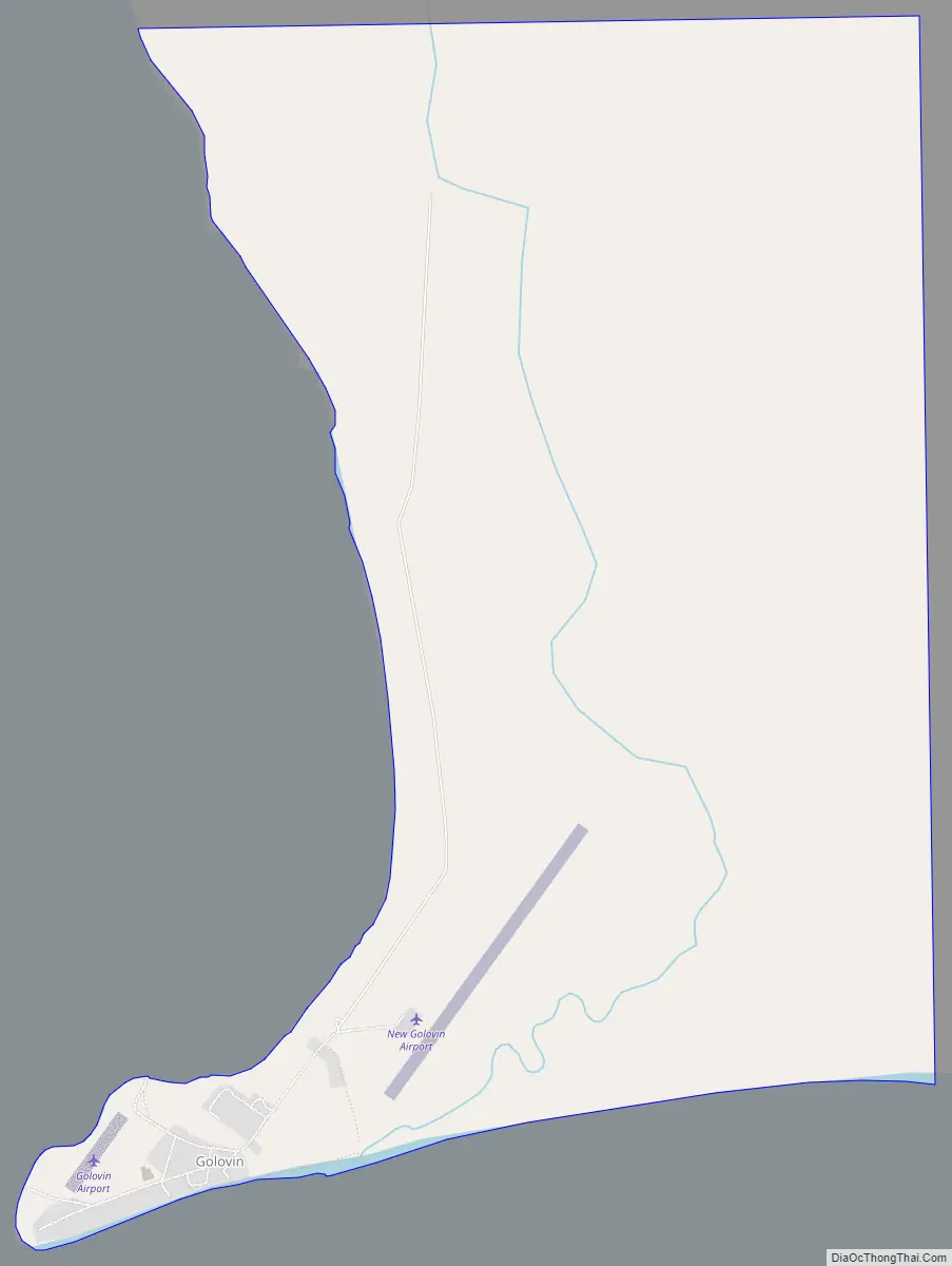
Geography
Golovin is located at 64°32′41″N 163°1′39″W / 64.54472°N 163.02750°W / 64.54472; -163.02750 (64.544612, -163.027459).
Golovin is on a point of land between Golovnin Bay and Golovnin Lagoon on the Seward Peninsula in western Alaska. It is about 105 km (65 mi) east of Nome. The area receives its name from Russian Vice-Admiral Vasily Mikhailovich Golovnin, (1776–1831). The town name is misspelled while the bay and lagoon retain the correct spelling.
According to the United States Census Bureau, the city has a total area of 3.7 square miles (9.6 km), all of it land.
See also
Map of Alaska State and its subdivision:- Aleutians East
- Aleutians West
- Anchorage
- Bethel
- Bristol Bay
- Denali
- Dillingham
- Fairbanks North Star
- Haines
- Juneau
- Kenai Peninsula
- Ketchikan Gateway
- Kodiak Island
- Lake and Peninsula
- Matanuska-Susitna
- Nome
- North Slope
- Northwest Arctic
- Prince of Wales-Outer Ketchi
- Sitka
- Skagway-Yakutat-Angoon
- Southeast Fairbanks
- Valdez-Cordova
- Wade Hampton
- Wrangell-Petersburg
- Yukon-Koyukuk
- Alabama
- Alaska
- Arizona
- Arkansas
- California
- Colorado
- Connecticut
- Delaware
- District of Columbia
- Florida
- Georgia
- Hawaii
- Idaho
- Illinois
- Indiana
- Iowa
- Kansas
- Kentucky
- Louisiana
- Maine
- Maryland
- Massachusetts
- Michigan
- Minnesota
- Mississippi
- Missouri
- Montana
- Nebraska
- Nevada
- New Hampshire
- New Jersey
- New Mexico
- New York
- North Carolina
- North Dakota
- Ohio
- Oklahoma
- Oregon
- Pennsylvania
- Rhode Island
- South Carolina
- South Dakota
- Tennessee
- Texas
- Utah
- Vermont
- Virginia
- Washington
- West Virginia
- Wisconsin
- Wyoming