Klukwan (Tlingit: Tlákw.aan) is a census-designated place (CDP) in Alaska, United States. It is technically in Hoonah-Angoon Census Area, though it is an enclave of Haines Borough. At the 2010 census the population was 95, down from 139 at the 2000 census.
| Name: | Klukwan CDP |
|---|---|
| LSAD Code: | 57 |
| LSAD Description: | CDP (suffix) |
| State: | Alaska |
| County: | Hoonah-Angoon Census Area |
| Elevation: | 272 ft (83 m) |
| Total Area: | 1.89 sq mi (4.90 km²) |
| Land Area: | 1.39 sq mi (3.60 km²) |
| Water Area: | 0.50 sq mi (1.30 km²) |
| Total Population: | 87 |
| Population Density: | 62.63/sq mi (24.18/km²) |
| Area code: | 907 |
| FIPS code: | 0240510 |
| GNISfeature ID: | 1866956 |
Online Interactive Map
Click on ![]() to view map in "full screen" mode.
to view map in "full screen" mode.
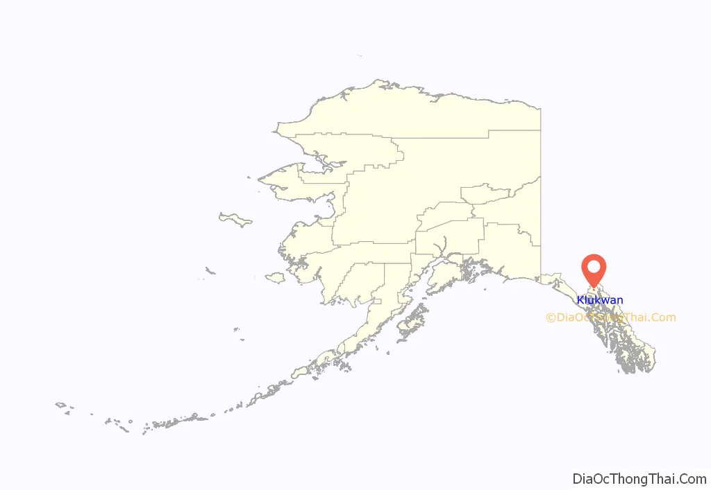
Klukwan location map. Where is Klukwan CDP?
History
Klukwan began as a Chilkat Tlingit village along the trade route later known as the Dalton Trail. In 1880, the U. S. Navy reported the name of the village as “Chilcat of Klukquan”. The name is Tlakw Áan in Tlingit, meaning roughly “forever village” due to its antiquity. Klukwan is the only remaining of five Chilkat villages that were in the area before 1900.
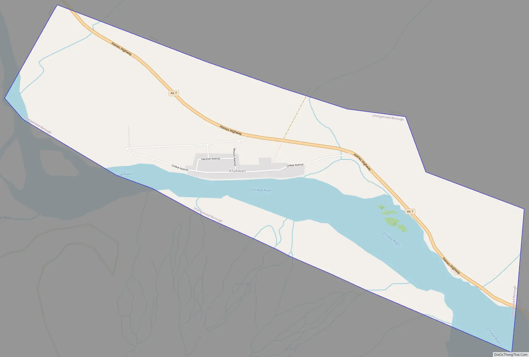
Klukwan Road Map
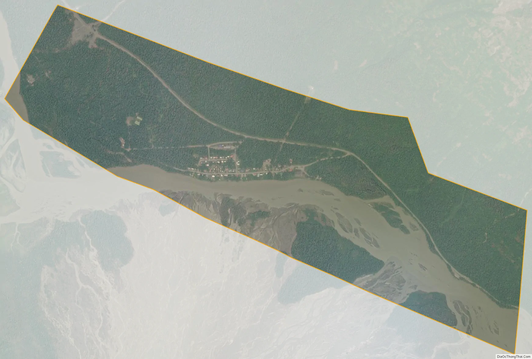
Klukwan city Satellite Map
Geography
Klukwan is located at 59°24′0″N 135°53′36″W / 59.40000°N 135.89333°W / 59.40000; -135.89333 (59.400098, -135.893393). It is 21 miles (34 km) northwest of Haines, on the north side of the Chilkat River near the Haines Highway. It is bordered to the west by the Covenant Life CDP.
According to the United States Census Bureau, the Klukwan CDP has a total area of 1.9 square miles (4.9 km), of which 1.4 square miles (3.6 km) are land and 0.50 square miles (1.3 km), or 26.55%, are water.
Klukwan is an enclave of Haines Borough, Alaska. Although Klukwan is located in the Hoonah-Angoon Census Area of the Unorganized Borough, it is entirely surrounded by territory of Haines Borough, and therefore cut off from the rest of the Census Area.
See also
Map of Alaska State and its subdivision:- Aleutians East
- Aleutians West
- Anchorage
- Bethel
- Bristol Bay
- Denali
- Dillingham
- Fairbanks North Star
- Haines
- Juneau
- Kenai Peninsula
- Ketchikan Gateway
- Kodiak Island
- Lake and Peninsula
- Matanuska-Susitna
- Nome
- North Slope
- Northwest Arctic
- Prince of Wales-Outer Ketchi
- Sitka
- Skagway-Yakutat-Angoon
- Southeast Fairbanks
- Valdez-Cordova
- Wade Hampton
- Wrangell-Petersburg
- Yukon-Koyukuk
- Alabama
- Alaska
- Arizona
- Arkansas
- California
- Colorado
- Connecticut
- Delaware
- District of Columbia
- Florida
- Georgia
- Hawaii
- Idaho
- Illinois
- Indiana
- Iowa
- Kansas
- Kentucky
- Louisiana
- Maine
- Maryland
- Massachusetts
- Michigan
- Minnesota
- Mississippi
- Missouri
- Montana
- Nebraska
- Nevada
- New Hampshire
- New Jersey
- New Mexico
- New York
- North Carolina
- North Dakota
- Ohio
- Oklahoma
- Oregon
- Pennsylvania
- Rhode Island
- South Carolina
- South Dakota
- Tennessee
- Texas
- Utah
- Vermont
- Virginia
- Washington
- West Virginia
- Wisconsin
- Wyoming