Knik River /ˈknɪk/ is a census-designated place (CDP) in Matanuska-Susitna Borough in the U.S. state of Alaska. Located 15 miles southeast from Palmer along the Knik River, it is part of the Anchorage, Alaska Metropolitan Statistical Area. The population was 792 at the 2020 census, up from 744 in 2010.
| Name: | Knik River CDP |
|---|---|
| LSAD Code: | 57 |
| LSAD Description: | CDP (suffix) |
| State: | Alaska |
| County: | Matanuska-Susitna Borough |
| Total Area: | 91.68 sq mi (237.44 km²) |
| Land Area: | 81.72 sq mi (211.65 km²) |
| Water Area: | 9.96 sq mi (25.79 km²) |
| Total Population: | 792 |
| Population Density: | 9.69/sq mi (3.74/km²) |
| Area code: | 907 |
| FIPS code: | 0240670 |
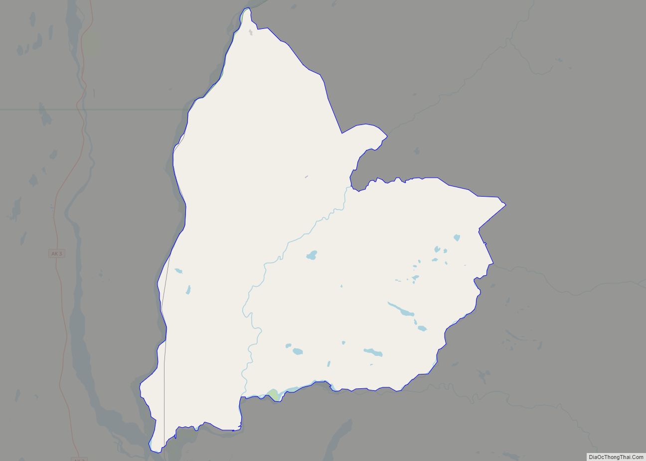
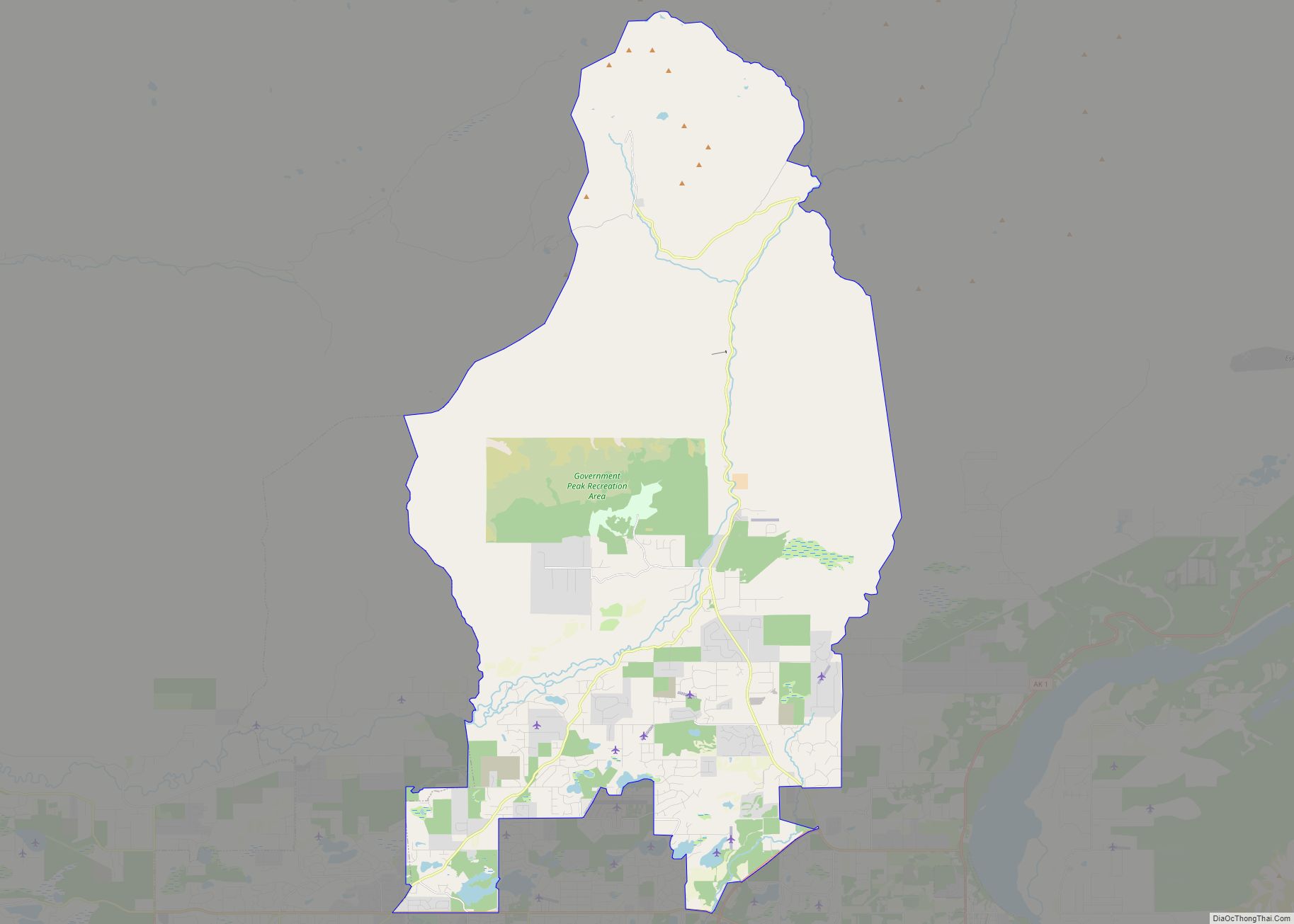
Online Interactive Map
Click on ![]() to view map in "full screen" mode.
to view map in "full screen" mode.
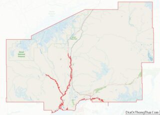
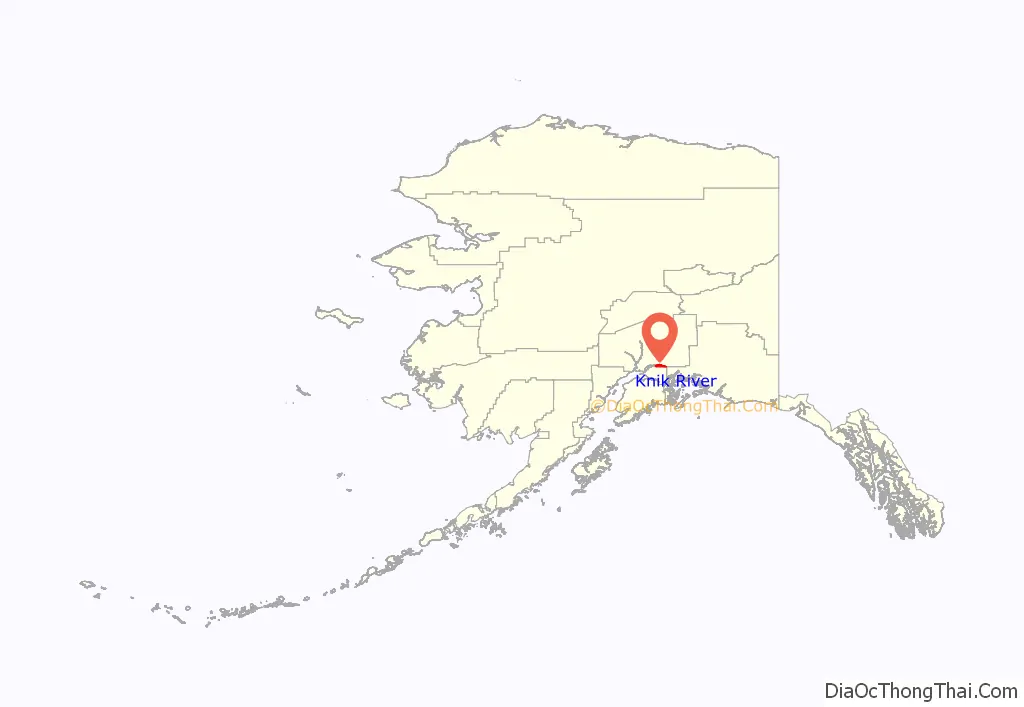
Knik River location map. Where is Knik River CDP?
History
The Knik (Arm area) or K′enah Ht’ana regional band of Dena’ina Athabascans were the earliest inhabitants of the region. They traveled through the area on a winter trail from Eklutna up the Knik River to the Copper River. The Palmer Road, now the Old Glenn Highway, was built through the area to Palmer in 1942. A lodge on Goat Creek was popular with travelers. The Eklutna Power Project was also built in the 1940s, including tract housing for employees. Knik River Road started as a logging road in the early 1950s; a gravel road was built in the late 1960s. The road is now paved up to Hunter Creek.
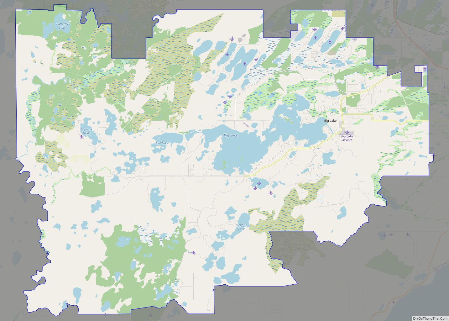
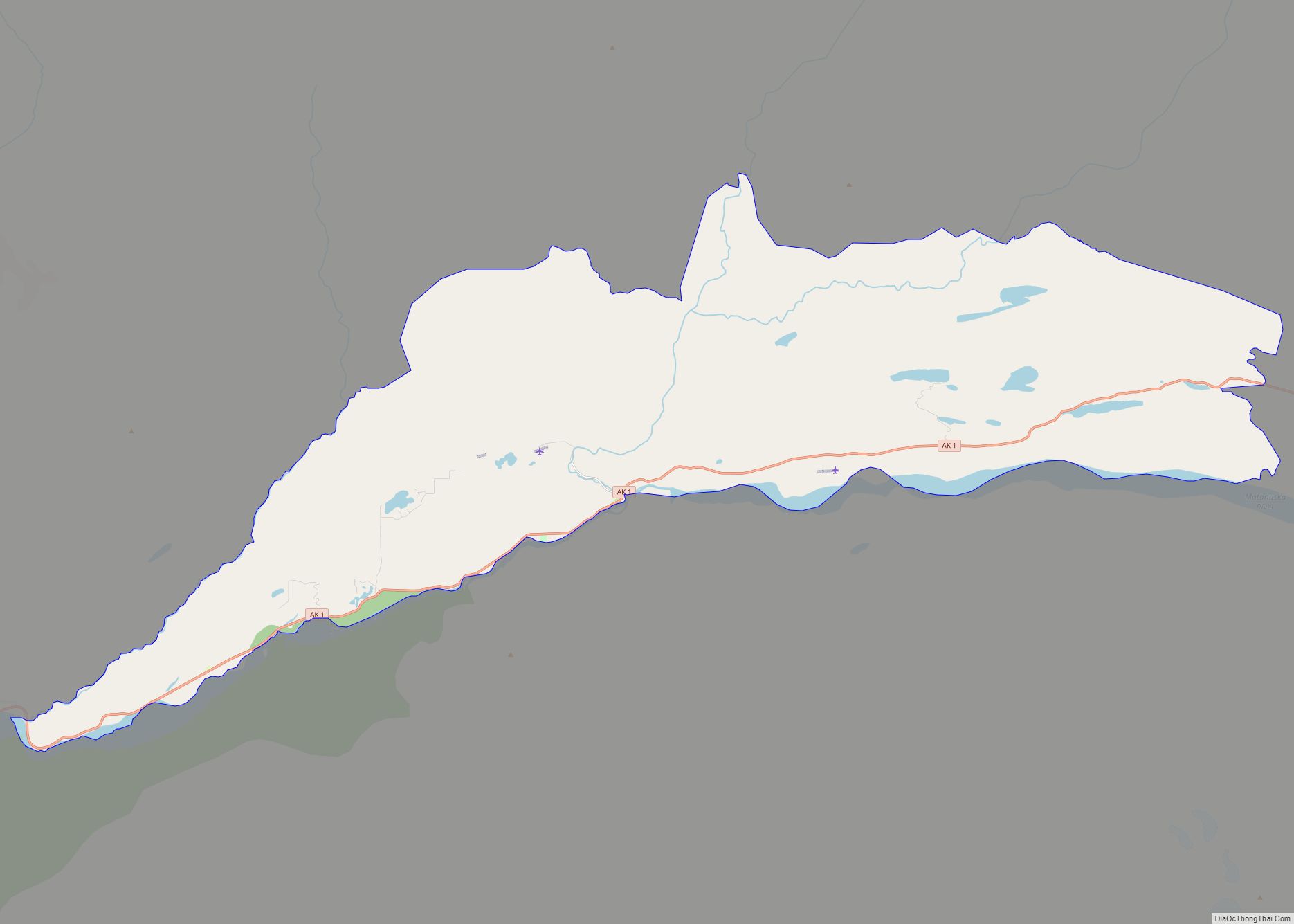
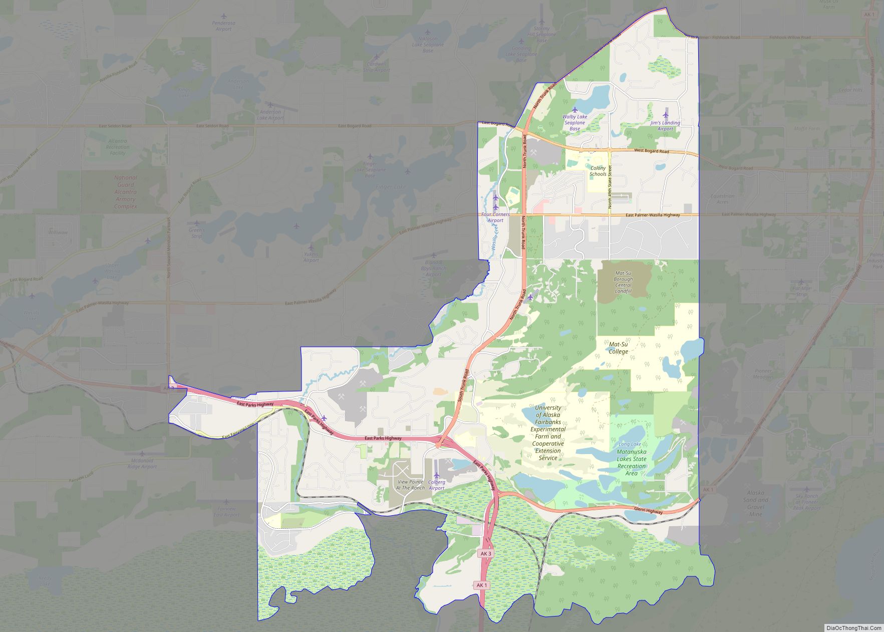
Knik River Road Map
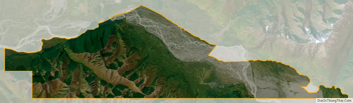
Knik River city Satellite Map
Geography
Knik River is located at 61°28′15″N 148°51′38″W / 61.47083°N 148.86056°W / 61.47083; -148.86056 (61.470970, -148.86064) (Sec. 24, T016N, R003W, Seward Meridian), in the Palmer Recording District.
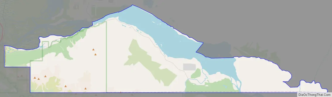
The community is at the head of the Knik Arm of Cook Inlet in Southcentral Alaska, 27 km (17 mi) northeast of Anchorage. The community has developed along the south bank of the Knik River, which flows into Knik Arm, at the southern border of the Mat-Su Borough. It lies along the Old Glenn Highway and Knik River Road.
According to the United States Census Bureau, the CDP has a total area of 93.2 square miles (241 km), of which, 90.4 square miles (234 km) of it is land and 2.8 square miles (7.3 km) of it (2.95%) is water.
Climate
The temperatures in January range from -35 °F (-37 °C) to 33 °F (1 °C); in July, 72 °F (6 °C) to 85 °F (29 °C). Annual precipitation is 16.5 inches (42 cm), including 43 inches (109 cm) of snowfall.
See also
Map of Alaska State and its subdivision:- Aleutians East
- Aleutians West
- Anchorage
- Bethel
- Bristol Bay
- Denali
- Dillingham
- Fairbanks North Star
- Haines
- Juneau
- Kenai Peninsula
- Ketchikan Gateway
- Kodiak Island
- Lake and Peninsula
- Matanuska-Susitna
- Nome
- North Slope
- Northwest Arctic
- Prince of Wales-Outer Ketchi
- Sitka
- Skagway-Yakutat-Angoon
- Southeast Fairbanks
- Valdez-Cordova
- Wade Hampton
- Wrangell-Petersburg
- Yukon-Koyukuk
- Alabama
- Alaska
- Arizona
- Arkansas
- California
- Colorado
- Connecticut
- Delaware
- District of Columbia
- Florida
- Georgia
- Hawaii
- Idaho
- Illinois
- Indiana
- Iowa
- Kansas
- Kentucky
- Louisiana
- Maine
- Maryland
- Massachusetts
- Michigan
- Minnesota
- Mississippi
- Missouri
- Montana
- Nebraska
- Nevada
- New Hampshire
- New Jersey
- New Mexico
- New York
- North Carolina
- North Dakota
- Ohio
- Oklahoma
- Oregon
- Pennsylvania
- Rhode Island
- South Carolina
- South Dakota
- Tennessee
- Texas
- Utah
- Vermont
- Virginia
- Washington
- West Virginia
- Wisconsin
- Wyoming