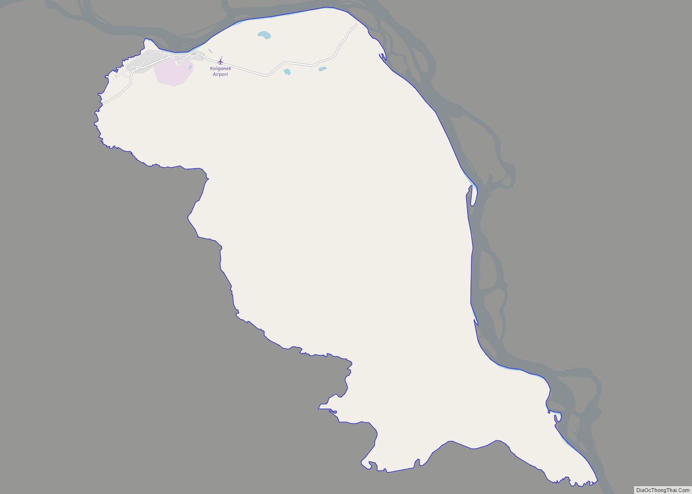
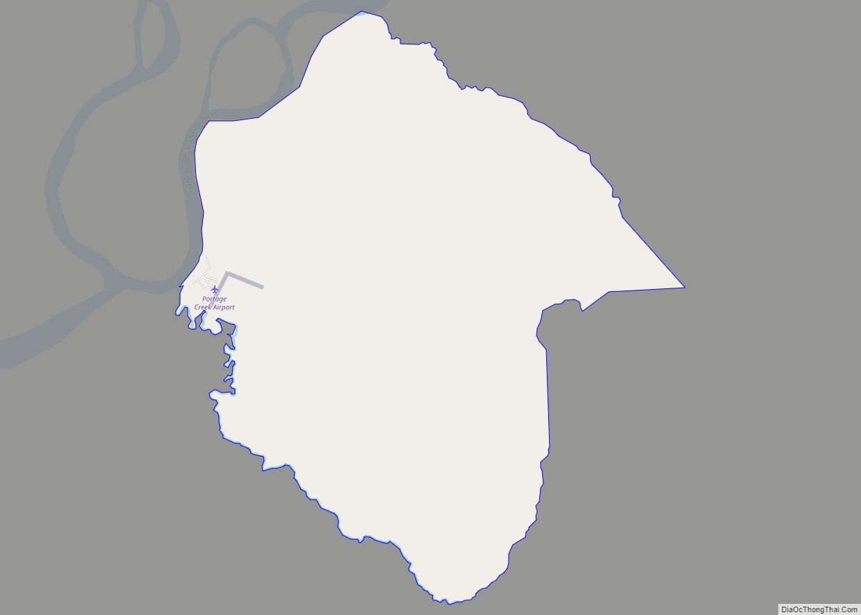
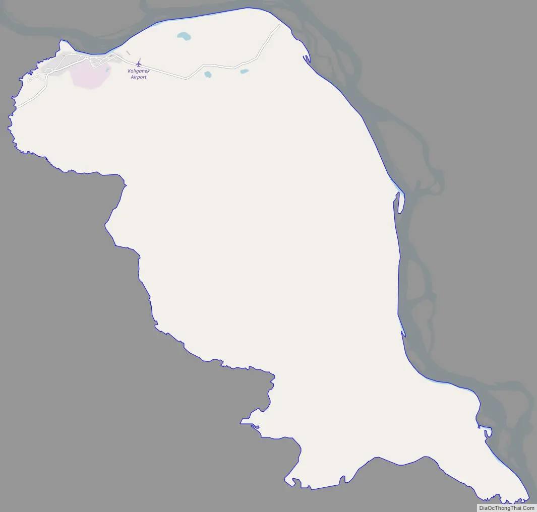
Koliganek (Central Yupik: Qalirneq) is a census-designated place (CDP) in Dillingham Census Area, Alaska, United States. It is located along the Nushagak River At the 2010 census, the population was 209, up from 182 in 2000.
| Name: | Koliganek CDP |
|---|---|
| LSAD Code: | 57 |
| LSAD Description: | CDP (suffix) |
| State: | Alaska |
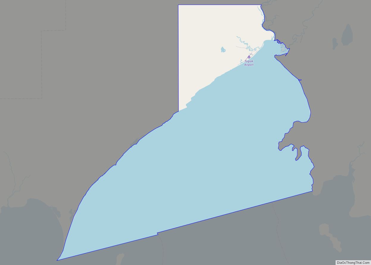
| County: | Dillingham Census Area |
| Elevation: | 210 ft (60 m) |
| Total Area: | 16.74 sq mi (43.35 km²) |
| Land Area: | 16.73 sq mi (43.32 km²) |
| Water Area: | 0.01 sq mi (0.03 km²) |
| Total Population: | 183 |
| Population Density: | 10.94/sq mi (4.22/km²) |
| Area code: | 907 |
| FIPS code: | 0241500 |
Online Interactive Map
Click on ![]() to view map in "full screen" mode.
to view map in "full screen" mode.
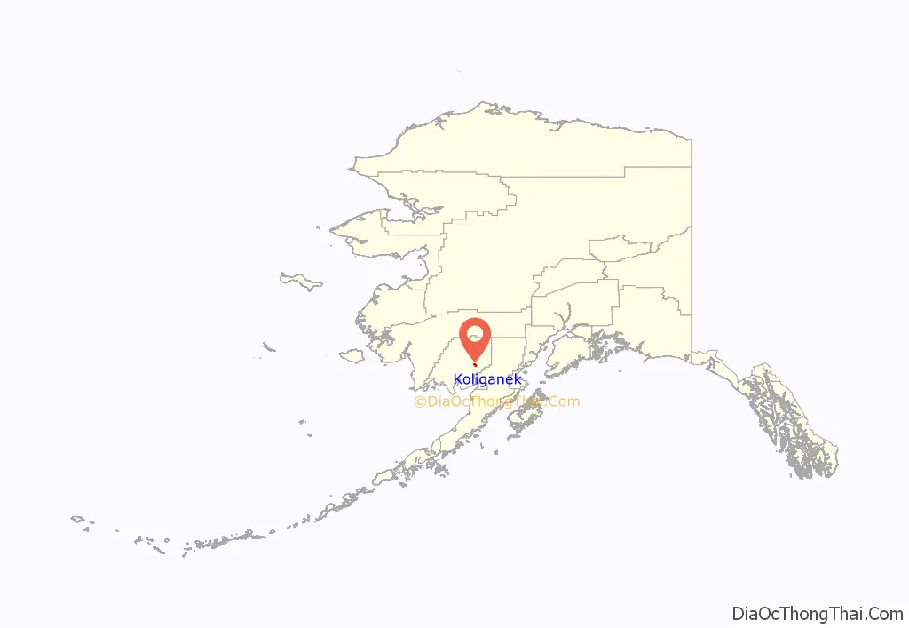
Koliganek location map. Where is Koliganek CDP?
History
The present Koliganek is the third native village to bear the name along the Nushagak River since the late 19th century. The earliest of the three was known as “Kalignak”, first settled about 1870 and was located at the junction of the Nushagak and Nuyakuk Rivers. It was later abandoned around 1940 and the residents removed to the second Koliganek, 5 miles further downstream, on the east bank across from the Napotoli Creek. A cemetery and some ruins remain there. In 1965, residents decided to relocate 4 miles further downstream, to where the present Koliganek exists. Neither of the previous villages are within the present boundaries of today’s CDP.
The original Koliganek, reported as “Kalignak”, about a dozen miles upstream at the junction of the Nushagak and Nuyakuk rivers, featured a population on the 1880 U.S. Census of 91 Inuit. The second village, about 4 miles upstream from the present village, now known as “Old Koliganek”, reported on the 1950 and 1960 censuses with 90 and 100 residents, respectively. It was abandoned between 1963-65.
Koliganek Road Map
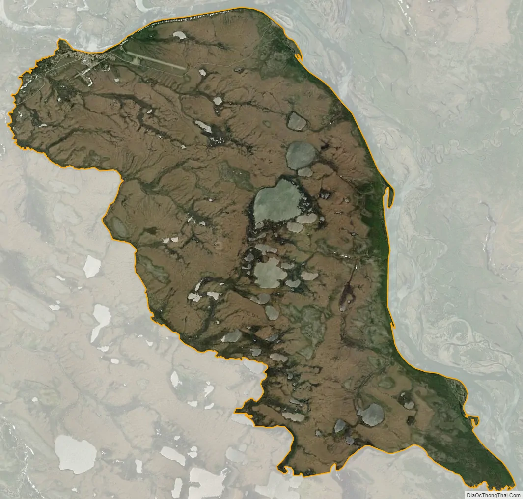
Koliganek city Satellite Map
Geography
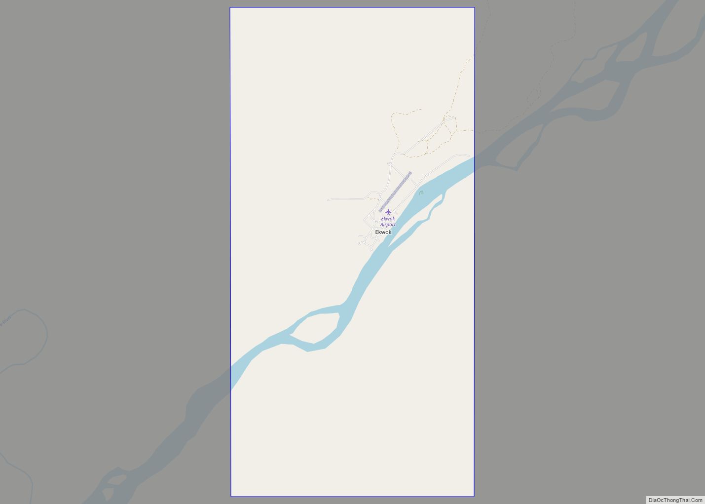
Koliganek is located at 59°43′44″N 157°16′38″W / 59.72889°N 157.27722°W / 59.72889; -157.27722 (59.728817, -157.277244), along the Nushagak River.
According to the United States Census Bureau, the CDP has a total area of 16.8 square miles (43.4 km), of which 0.02 square miles (0.04 km), or 0.10%, is water.
See also
Map of Alaska State and its subdivision:- Aleutians East
- Aleutians West
- Anchorage
- Bethel
- Bristol Bay
- Denali
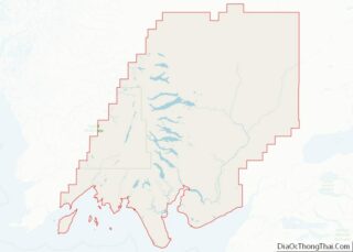
- Dillingham
- Fairbanks North Star
- Haines
- Juneau
- Kenai Peninsula
- Ketchikan Gateway
- Kodiak Island
- Lake and Peninsula
- Matanuska-Susitna
- Nome
- North Slope
- Northwest Arctic
- Prince of Wales-Outer Ketchi
- Sitka
- Skagway-Yakutat-Angoon
- Southeast Fairbanks
- Valdez-Cordova
- Wade Hampton
- Wrangell-Petersburg
- Yukon-Koyukuk
- Alabama
- Alaska
- Arizona
- Arkansas
- California
- Colorado
- Connecticut
- Delaware
- District of Columbia
- Florida
- Georgia
- Hawaii
- Idaho
- Illinois
- Indiana
- Iowa
- Kansas
- Kentucky
- Louisiana
- Maine
- Maryland
- Massachusetts
- Michigan
- Minnesota
- Mississippi
- Missouri
- Montana
- Nebraska
- Nevada
- New Hampshire
- New Jersey
- New Mexico
- New York
- North Carolina
- North Dakota
- Ohio
- Oklahoma
- Oregon
- Pennsylvania
- Rhode Island
- South Carolina
- South Dakota
- Tennessee
- Texas
- Utah
- Vermont
- Virginia
- Washington
- West Virginia
- Wisconsin
- Wyoming