Lazy Mountain is a census-designated place (CDP) in Matanuska-Susitna Borough, Alaska, United States. Located east of Palmer along the Matanuska River. At the 2020 census the population was 1,506, up from 1,479 in 2010.
| Name: | Lazy Mountain CDP |
|---|---|
| LSAD Code: | 57 |
| LSAD Description: | CDP (suffix) |
| State: | Alaska |
| County: | Matanuska-Susitna Borough |
| Elevation: | 2,726 ft (831 m) |
| Total Area: | 58.80 sq mi (152.28 km²) |
| Land Area: | 58.63 sq mi (151.86 km²) |
| Water Area: | 0.16 sq mi (0.42 km²) |
| Total Population: | 1,506 |
| Population Density: | 25.68/sq mi (9.92/km²) |
| Area code: | 907 |
| FIPS code: | 0243260 |
| GNISfeature ID: | 1866958 |
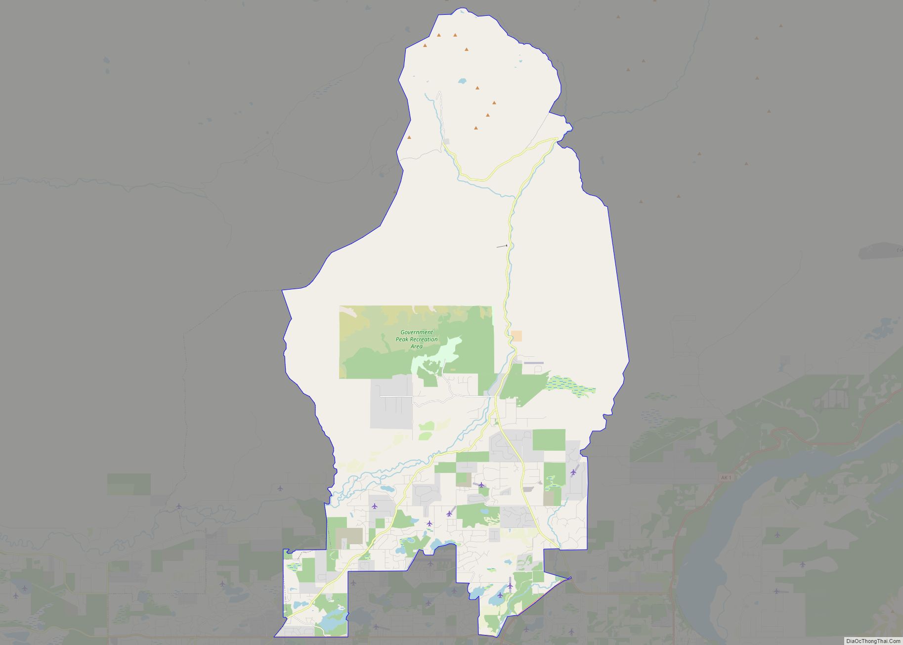
Online Interactive Map
Click on ![]() to view map in "full screen" mode.
to view map in "full screen" mode.
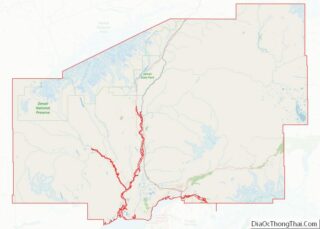
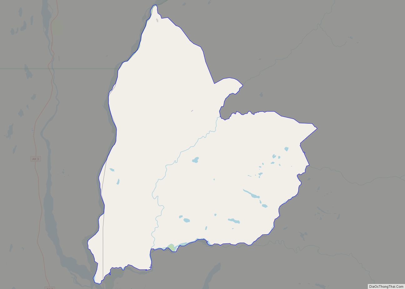
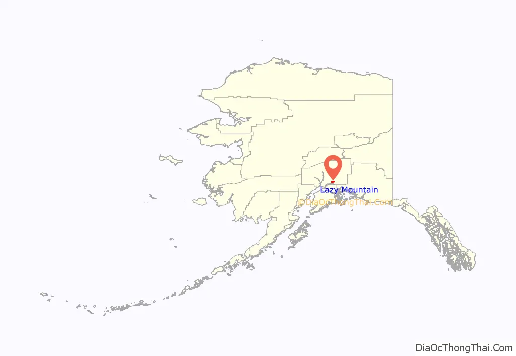
Lazy Mountain location map. Where is Lazy Mountain CDP?
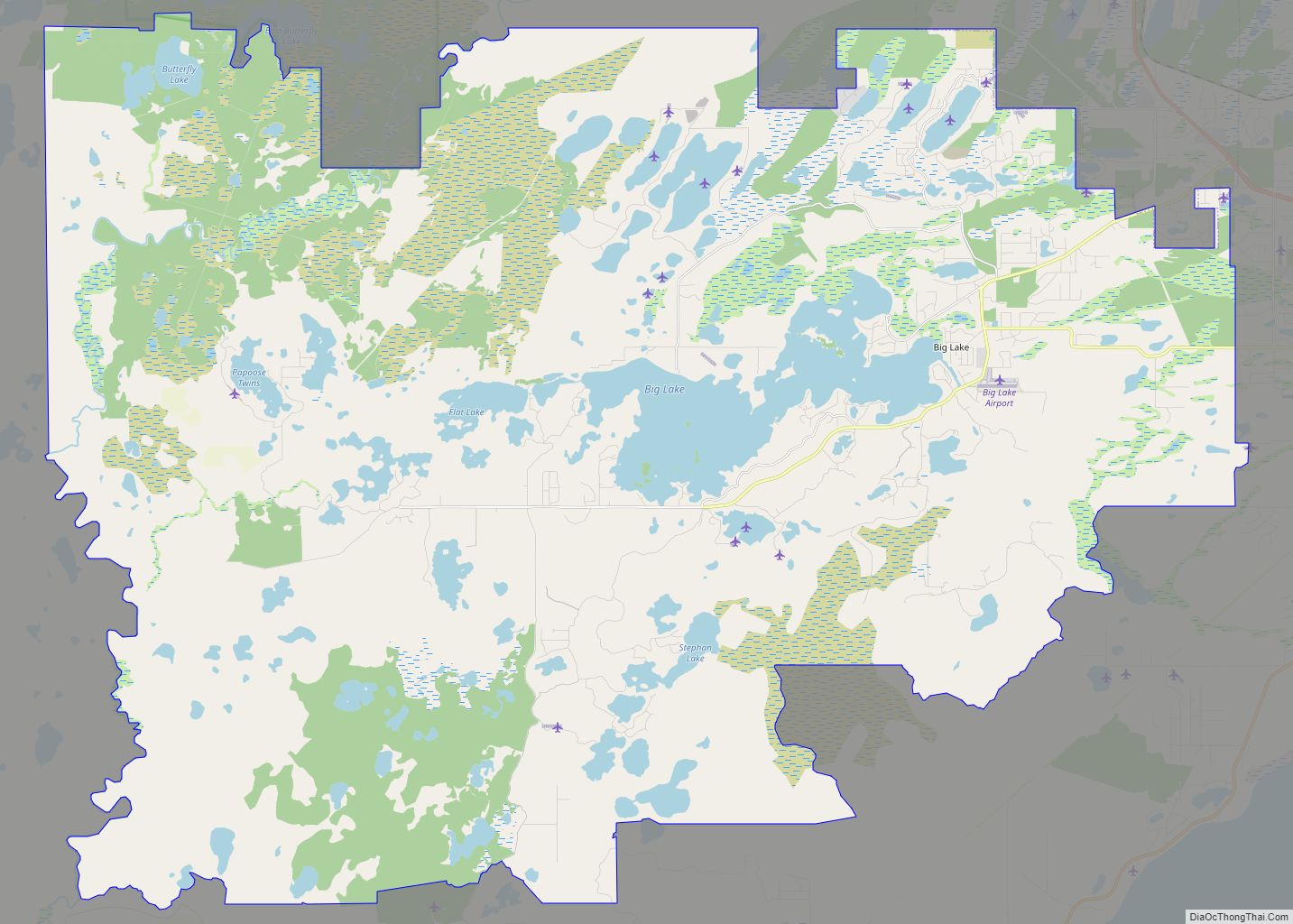
Lazy Mountain Road Map
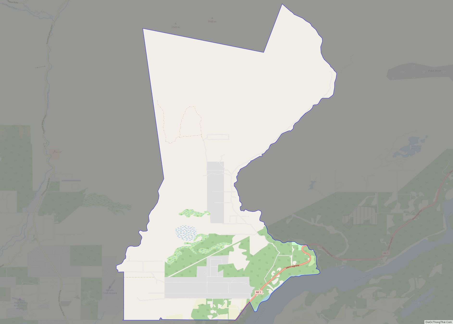
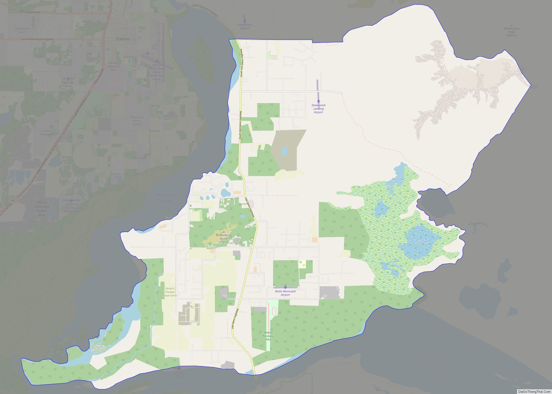
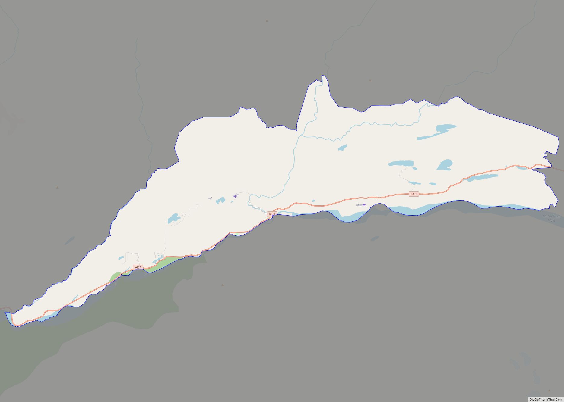
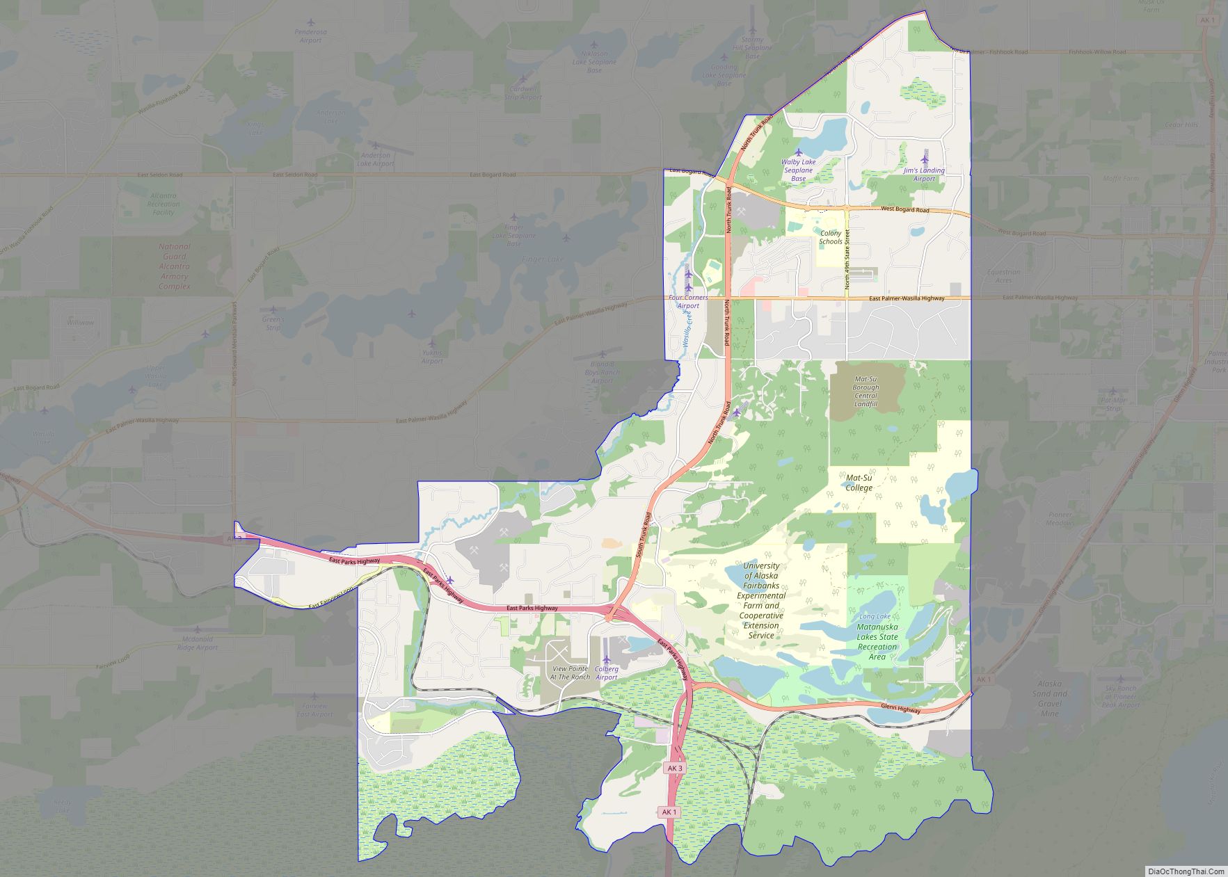
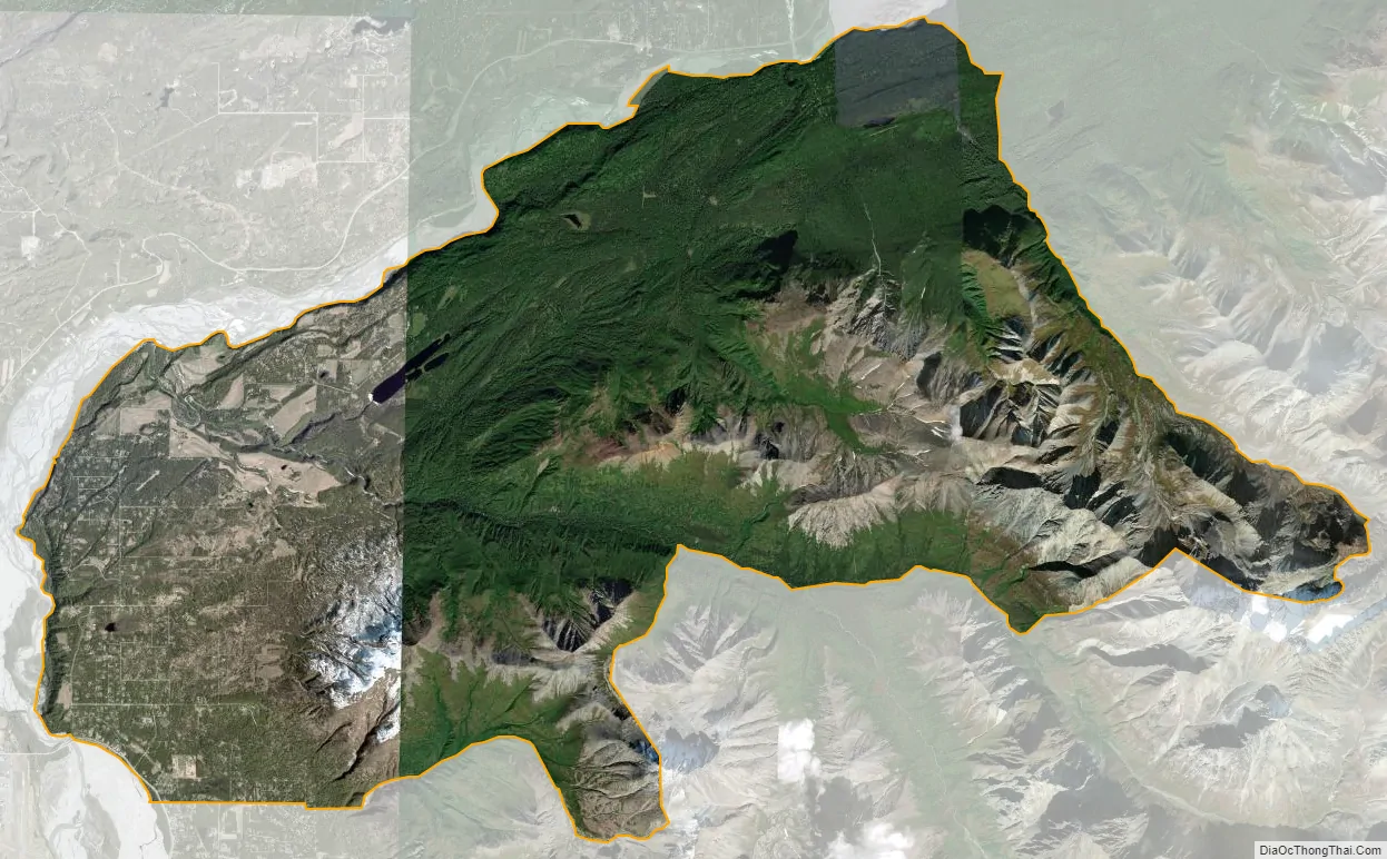
Lazy Mountain city Satellite Map
Geography
Lazy Mountain, the namesake geographic feature of the Lazy Mountain area, is located at 61°37′32″N 149°02′42″W / 61.625517°N 149.044935°W / 61.625517; -149.044935. The peak of Lazy Mountain is 3,720 feet (1,130 metres) above sea level.
According to the United States Census Bureau, the 2010 CDP has a total area of 58.82 square miles (152.3 km) (up from 35.7 in 2000), of which, 35.5 square miles (92 km) of it is land and 0.2 square miles (0.52 km) of it is water.
The southern boundary of the CDP starts at the Old Glenn Highway where it meets E. Smith Rd, extends east along the Smith Road extension to Harmony Avenue, then south one block to Purser Place and then east again approximately 1/2 mile along an imaginary line to McRoberts Creek. McRoberts Creek forms the southeast boundary of the CDP up to its headwaters and to the top of the ridge south of Matanuska Peak. The east boundary forms an irregular line along the ridge to Matanuska Peak, then down to the glacier and along its outfall creek to where it meets Wolverine Creek.
See also
Map of Alaska State and its subdivision:- Aleutians East
- Aleutians West
- Anchorage
- Bethel
- Bristol Bay
- Denali
- Dillingham
- Fairbanks North Star
- Haines
- Juneau
- Kenai Peninsula
- Ketchikan Gateway
- Kodiak Island
- Lake and Peninsula
- Matanuska-Susitna
- Nome
- North Slope
- Northwest Arctic
- Prince of Wales-Outer Ketchi
- Sitka
- Skagway-Yakutat-Angoon
- Southeast Fairbanks
- Valdez-Cordova
- Wade Hampton
- Wrangell-Petersburg
- Yukon-Koyukuk
- Alabama
- Alaska
- Arizona
- Arkansas
- California
- Colorado
- Connecticut
- Delaware
- District of Columbia
- Florida
- Georgia
- Hawaii
- Idaho
- Illinois
- Indiana
- Iowa
- Kansas
- Kentucky
- Louisiana
- Maine
- Maryland
- Massachusetts
- Michigan
- Minnesota
- Mississippi
- Missouri
- Montana
- Nebraska
- Nevada
- New Hampshire
- New Jersey
- New Mexico
- New York
- North Carolina
- North Dakota
- Ohio
- Oklahoma
- Oregon
- Pennsylvania
- Rhode Island
- South Carolina
- South Dakota
- Tennessee
- Texas
- Utah
- Vermont
- Virginia
- Washington
- West Virginia
- Wisconsin
- Wyoming