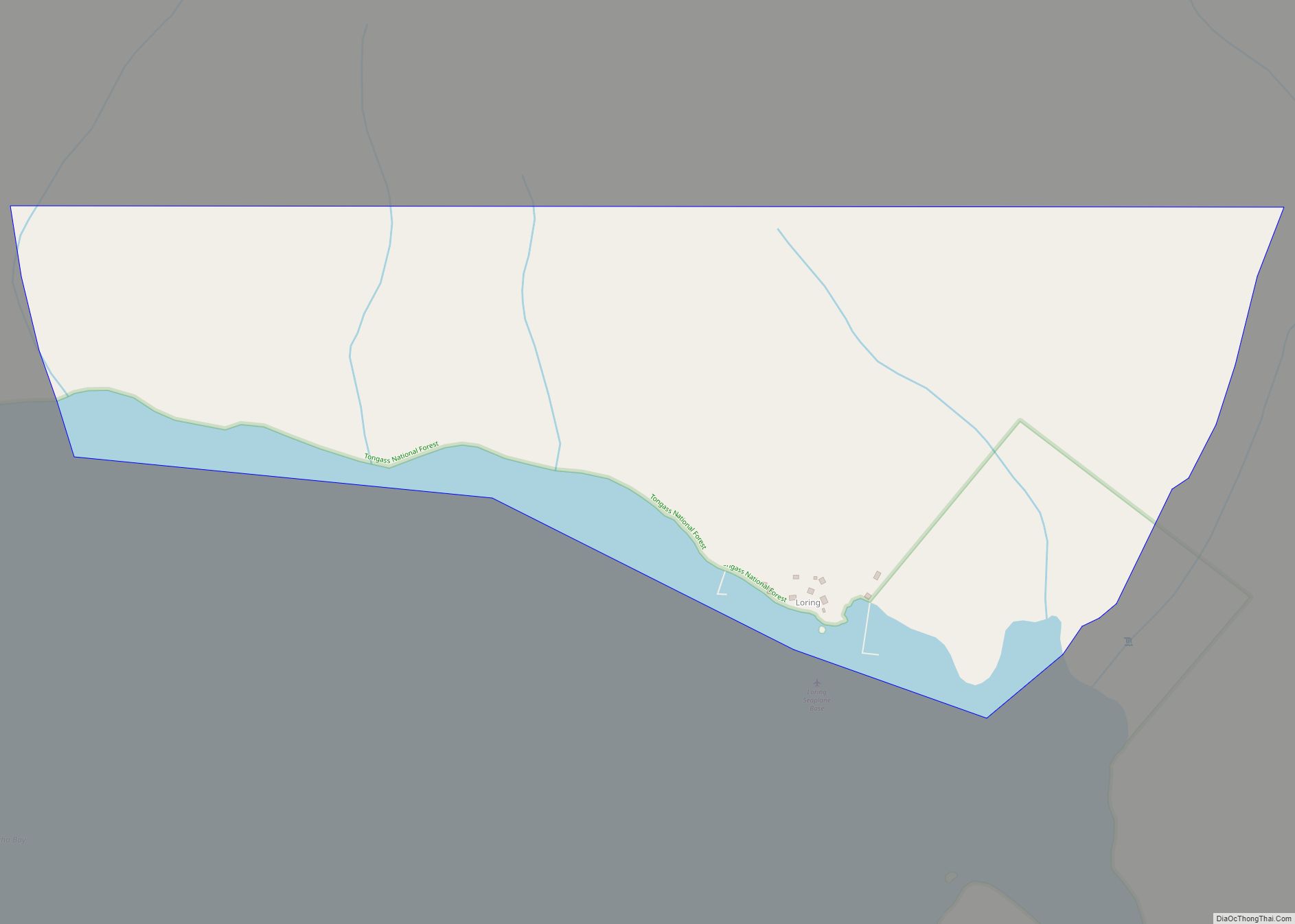
Loring (Lingít: Kax̱.àan) was established in 1885 with the first post office in the District of Alaska and is a census-designated place (CDP) in Ketchikan Gateway Borough in the U.S. state of Alaska. The population was 4 at the 2010 census, although the number increases in summer months.
Located due north of downtown Ketchikan on Revillagigedo Island, Loring was once Ketchikan’s rival as the service center for the area’s fishing and timber industries.
| Name: | Loring CDP |
|---|---|
| LSAD Code: | 57 |
| LSAD Description: | CDP (suffix) |
| State: | Alaska |
| County: | Ketchikan Gateway Borough |
| Total Area: | 0.63 sq mi (1.63 km²) |
| Land Area: | 0.55 sq mi (1.43 km²) |
| Water Area: | 0.08 sq mi (0.20 km²) |
| Total Population: | 0 |
| Population Density: | 0.00/sq mi (0.00/km²) |
| FIPS code: | 0245020 |
Online Interactive Map
Click on ![]() to view map in "full screen" mode.
to view map in "full screen" mode.
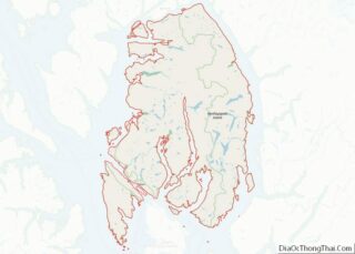
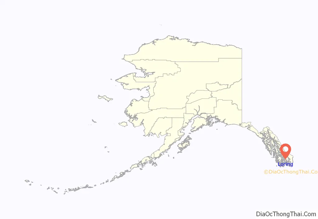
Loring location map. Where is Loring CDP?
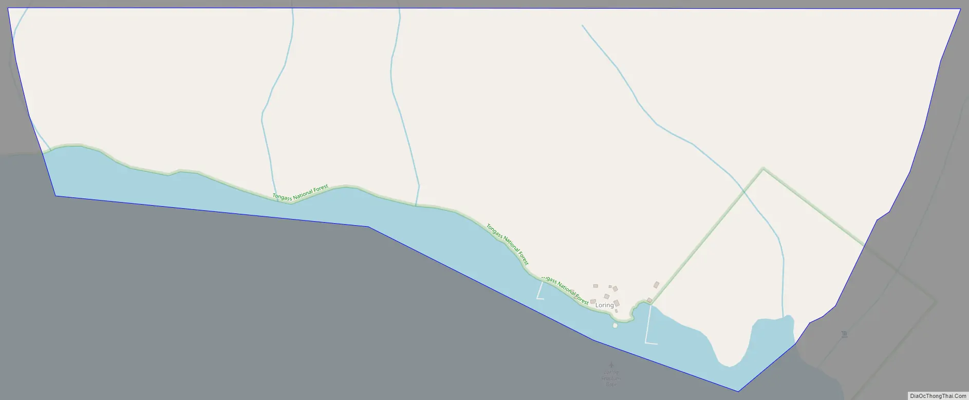
Loring Road Map
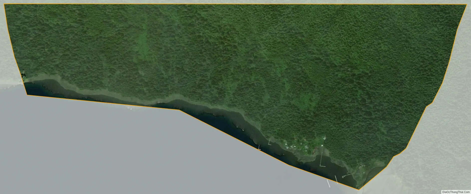
Loring city Satellite Map
Geography
Loring is located at 55°36′11″N 131°38′13″W / 55.60306°N 131.63694°W / 55.60306; -131.63694, on the western shore of Revillagigedo Island, approximately 15 miles (24 km) north of Ketchikan as the crow flies. It is located on the northern shore of Naha Bay, an arm of Behm Canal.
According to the United States Census Bureau, the CDP has a total area of 0.62 square miles (1.6 km), of which 0.54 square miles (1.4 km) is land and 0.077 square miles (0.2 km), or 12.27%, is water.
See also
Map of Alaska State and its subdivision:- Aleutians East
- Aleutians West
- Anchorage
- Bethel
- Bristol Bay
- Denali
- Dillingham
- Fairbanks North Star
- Haines
- Juneau
- Kenai Peninsula
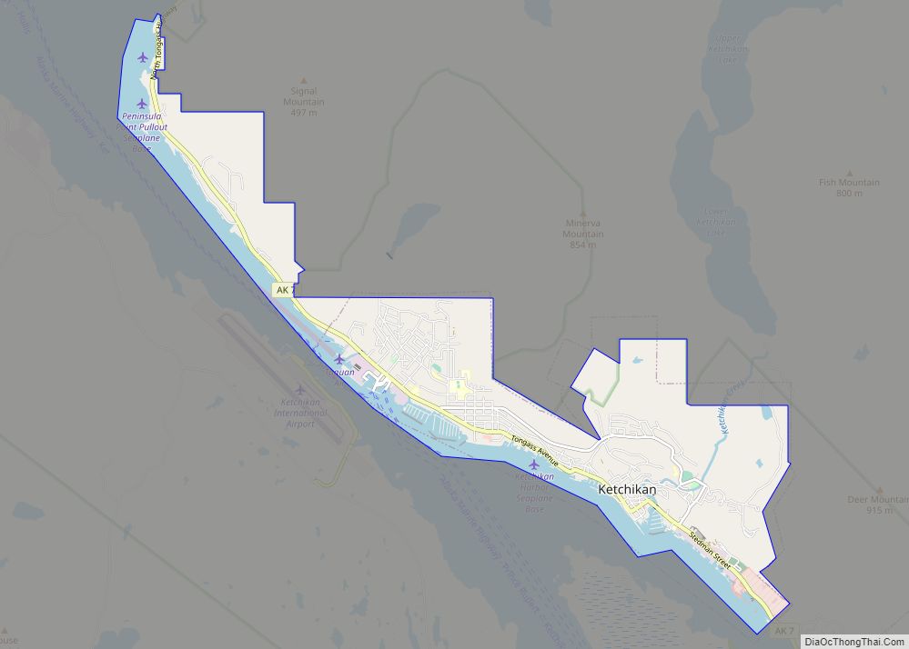
- Ketchikan Gateway
- Kodiak Island
- Lake and Peninsula
- Matanuska-Susitna
- Nome
- North Slope
- Northwest Arctic
- Prince of Wales-Outer Ketchi
- Sitka
- Skagway-Yakutat-Angoon
- Southeast Fairbanks
- Valdez-Cordova
- Wade Hampton
- Wrangell-Petersburg
- Yukon-Koyukuk
- Alabama
- Alaska
- Arizona
- Arkansas
- California
- Colorado
- Connecticut
- Delaware
- District of Columbia
- Florida
- Georgia
- Hawaii
- Idaho
- Illinois
- Indiana
- Iowa
- Kansas
- Kentucky
- Louisiana
- Maine
- Maryland
- Massachusetts
- Michigan
- Minnesota
- Mississippi
- Missouri
- Montana
- Nebraska
- Nevada
- New Hampshire
- New Jersey
- New Mexico
- New York
- North Carolina
- North Dakota
- Ohio
- Oklahoma
- Oregon
- Pennsylvania
- Rhode Island
- South Carolina
- South Dakota
- Tennessee
- Texas
- Utah
- Vermont
- Virginia
- Washington
- West Virginia
- Wisconsin
- Wyoming