Manley Hot Springs (Too Naaleł Denh in Koyukon) is a census-designated place (CDP) in Yukon-Koyukuk Census Area, Alaska, United States. At the 2020 census the population was 169, up from 89 in 2010.
| Name: | Manley Hot Springs CDP |
|---|---|
| LSAD Code: | 57 |
| LSAD Description: | CDP (suffix) |
| State: | Alaska |
| County: | Yukon-Koyukuk Census Area |
| Total Area: | 54.61 sq mi (141.44 km²) |
| Land Area: | 54.61 sq mi (141.44 km²) |
| Water Area: | 0.00 sq mi (0.00 km²) |
| Total Population: | 169 |
| Population Density: | 3.09/sq mi (1.19/km²) |
| ZIP code: | 99756 |
| Area code: | 907 |
| FIPS code: | 0246780 |
Online Interactive Map
Click on ![]() to view map in "full screen" mode.
to view map in "full screen" mode.
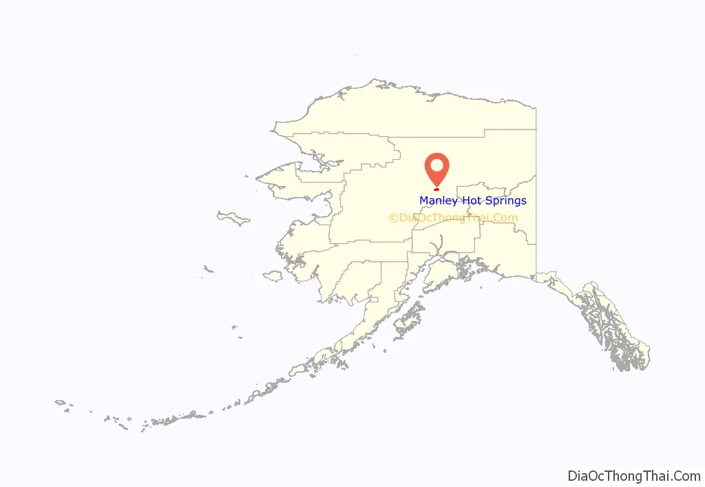
Manley Hot Springs location map. Where is Manley Hot Springs CDP?
History
Traditional lands of the Cosna Band of the Upper Koyukon Dene.
In 1902 a prospector, John Karshner, discovered several hot springs in the area. He began a homestead and vegetable farm. In the same year, the United States Army built a telegraph station. The area became a service and supply point for miners in the Tofty and Eureka mining districts. It was known as Baker’s Hot Springs, after nearby Baker Creek.
Farming and livestock operations in the area produced fresh meat, poultry, and produce for sale. In 1903, Sam’s Rooms and Meals, now called the Manley Roadhouse, opened. The Manley Roadhouse was owned by Robert E. Lee, who was also the town’s postmaster until his death in 2010. In 1907 a miner named Frank Manley built the Hot Springs Resort Hotel. The resort was a four-story building with 45 guest rooms, steam heat, electric lights, hot baths, a bar, a restaurant, a billiard room, a bowling alley, a barber shop, and an Olympic-size indoor swimming pool which used heated water from the hot springs. During the summer, the hotel’s private boat transported guests from steamers on the Tanana River. In the winter, an overland stagecoach trip from Fairbanks took two days. The town was renamed Hot Springs.
The resort and the mining in the area caused the town to prosper. It had a store, a newspaper, a bakery, clothing stores and other businesses. The population of the area in 1910 was more than 500. In 1913 the resort burned to the ground. Mining activity was also in decline and by 1920 only 29 residents lived in Hot Springs.
The town’s name was changed to Manley Hot Springs in 1957.
In May 1984, a newcomer to the town, Michael Silka, killed nine people in the area.
Since 1950, the population of Manley Hot Springs has slowly increased. In the 2020 census, the population of Manley Hot Springs was 169, up 90 percent from 89 in 2010 census.
In May 2022, the second worst flood to hit the community caused power outages and the displacement of 60 people. No injuries occurred. The flooding was caused by an ice jam on the Tanana River, approximately 12 miles downriver from the community.
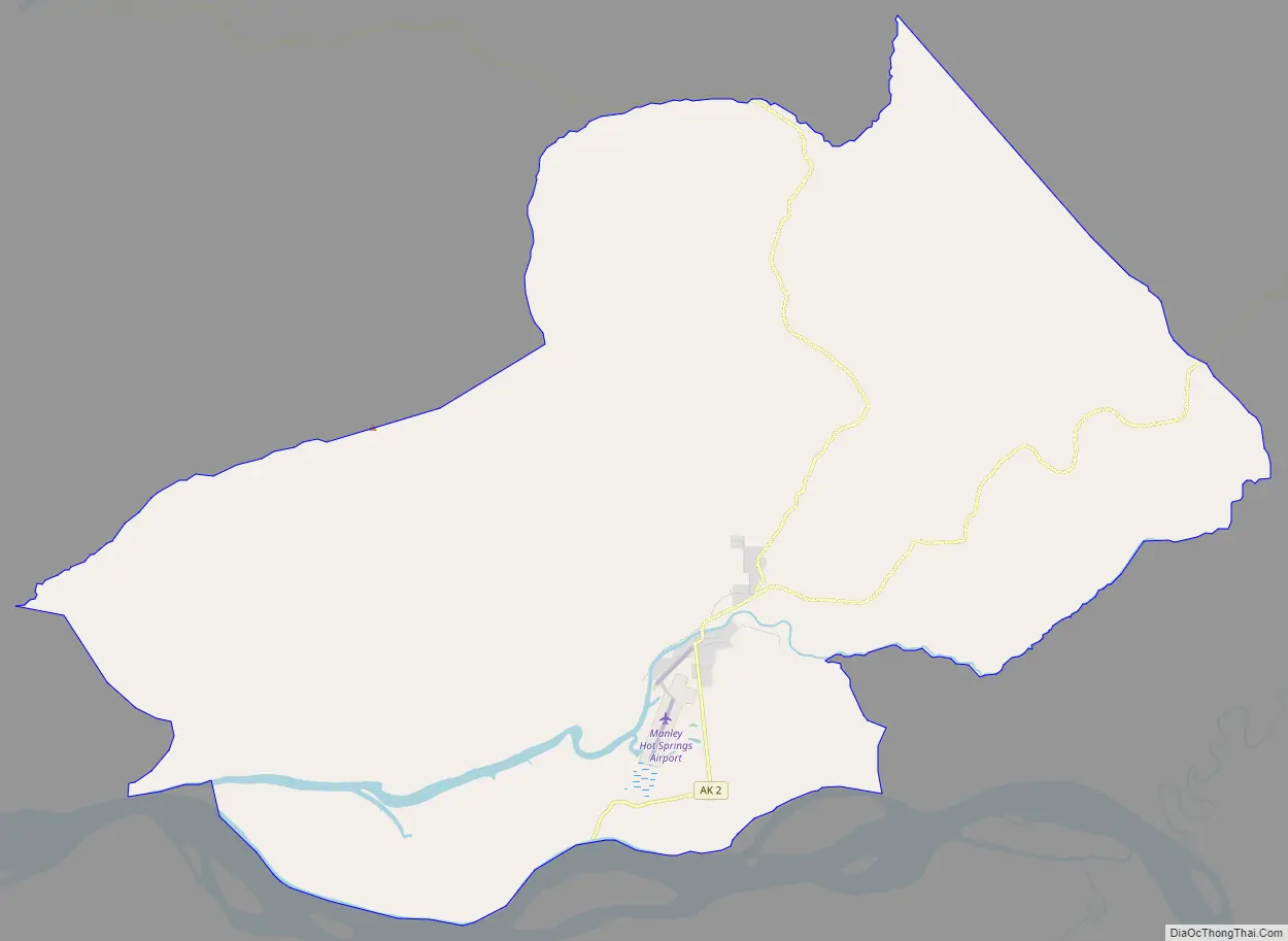
Manley Hot Springs Road Map
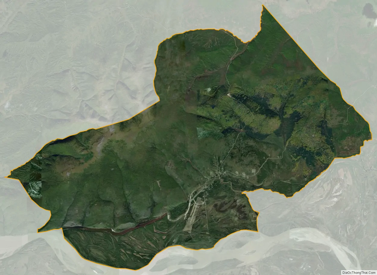
Manley Hot Springs city Satellite Map
Geography
Manley Hot Springs is located at 65°0′28″N 150°37′36″W / 65.00778°N 150.62667°W / 65.00778; -150.62667 (65.007773, -150.626732).
Manley Hot Springs is located about 8 km (5.0 mi) north of the Tanana River on Hot Springs Slough, at the end of the Elliott Highway, 260 km (160 mi) west of Fairbanks.
The CDP has a total area of 54.3 square miles (141 km) according to the United States Census Bureau. All of it is land.
See also
Map of Alaska State and its subdivision:- Aleutians East
- Aleutians West
- Anchorage
- Bethel
- Bristol Bay
- Denali
- Dillingham
- Fairbanks North Star
- Haines
- Juneau
- Kenai Peninsula
- Ketchikan Gateway
- Kodiak Island
- Lake and Peninsula
- Matanuska-Susitna
- Nome
- North Slope
- Northwest Arctic
- Prince of Wales-Outer Ketchi
- Sitka
- Skagway-Yakutat-Angoon
- Southeast Fairbanks
- Valdez-Cordova
- Wade Hampton
- Wrangell-Petersburg
- Yukon-Koyukuk
- Alabama
- Alaska
- Arizona
- Arkansas
- California
- Colorado
- Connecticut
- Delaware
- District of Columbia
- Florida
- Georgia
- Hawaii
- Idaho
- Illinois
- Indiana
- Iowa
- Kansas
- Kentucky
- Louisiana
- Maine
- Maryland
- Massachusetts
- Michigan
- Minnesota
- Mississippi
- Missouri
- Montana
- Nebraska
- Nevada
- New Hampshire
- New Jersey
- New Mexico
- New York
- North Carolina
- North Dakota
- Ohio
- Oklahoma
- Oregon
- Pennsylvania
- Rhode Island
- South Carolina
- South Dakota
- Tennessee
- Texas
- Utah
- Vermont
- Virginia
- Washington
- West Virginia
- Wisconsin
- Wyoming


