McGrath (Tochak’ in Upper Kuskokwim, Digenegh in Deg Xinag) is a city and village on the Kuskokwim River in Alaska, United States. The population was 301 at the 2020 census. Despite its small population, the village is an important transportation and economic hub for the area.
| Name: | McGrath city |
|---|---|
| LSAD Code: | 25 |
| LSAD Description: | city (suffix) |
| State: | Alaska |
| County: | Yukon-Koyukuk Census Area |
| Incorporated: | June 3, 1975 |
| Elevation: | 331 ft (101 m) |
| Total Area: | 47.94 sq mi (124.17 km²) |
| Land Area: | 42.33 sq mi (109.64 km²) |
| Water Area: | 5.61 sq mi (14.53 km²) |
| Total Population: | 301 |
| Population Density: | 7.11/sq mi (2.75/km²) |
| ZIP code: | 99627 |
| Area code: | 907 |
| FIPS code: | 0246010 |
| GNISfeature ID: | 1406131 |
Online Interactive Map
Click on ![]() to view map in "full screen" mode.
to view map in "full screen" mode.
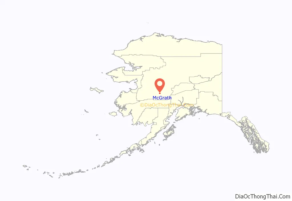
McGrath location map. Where is McGrath city?
History
The Old Town McGrath site, across the river from present-day McGrath, was a meeting and trading place for Big River, Nikolai, Telida, and Lake Minchumina villagers.
In 1904, Abraham Appel established a trading post in Old Town. In 1906, gold was discovered in the Innoko District, and in 1907, and at Ganes Creek. Since McGrath was the northernmost point on the Kuskokwim River accessible by large riverboats, it became a regional supply center. A town was established at the site of Old McGrath in 1907, and was named for Peter McGrath, a local United States Marshal. The Iditarod Trail also contributed to McGrath’s role as a supply center. From 1911 to 1920, hundreds of people walked and mushed over the trail on their way to the Ophir gold districts. Mining sharply declined after 1925.
After a major flood in 1933, some residents moved across the river. Changes in the course of the river eventually left the old site on a slough, making it useless as a river stop. In 1940, an airstrip was cleared, the United States Federal Aviation Administration built a communications complex, and a school was opened. McGrath became an important refueling stop for Lend-Lease equipment during World War II.
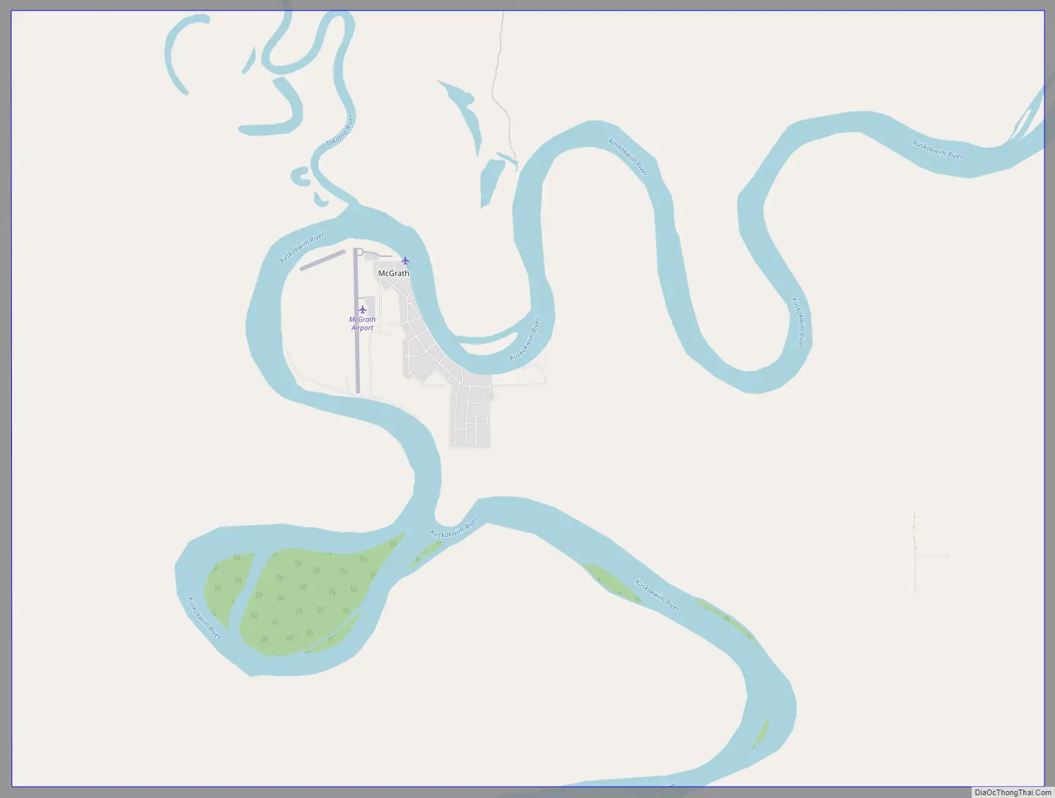
McGrath Road Map
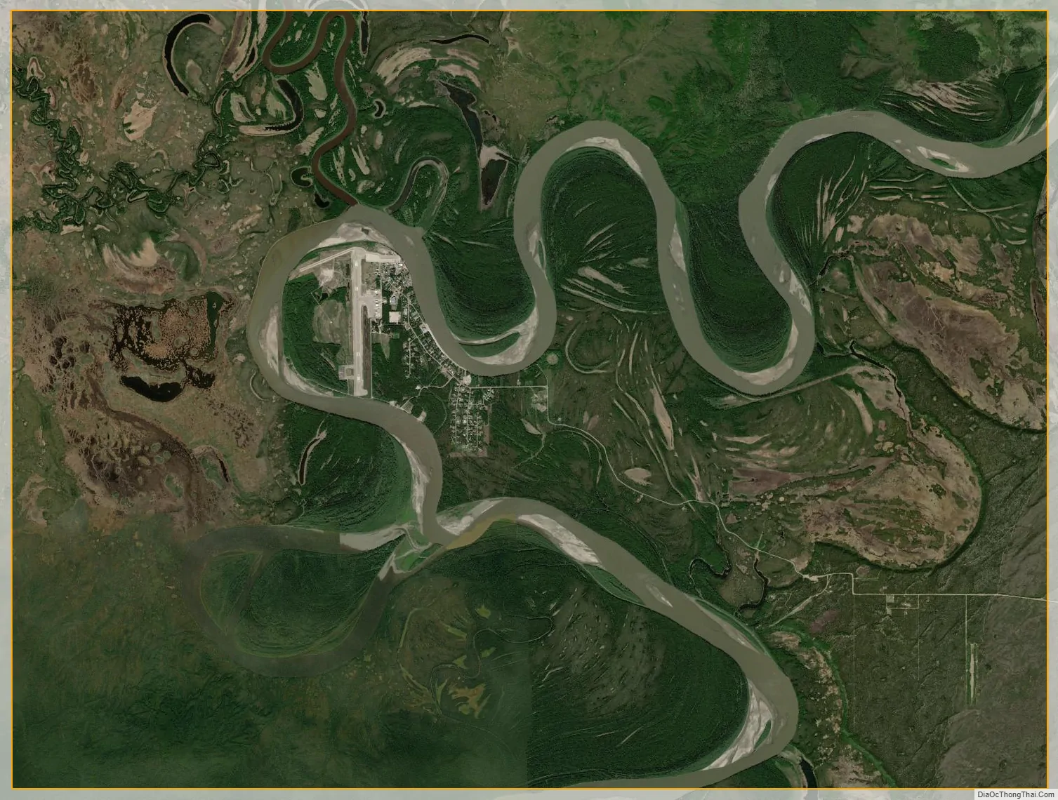
McGrath city Satellite Map
Geography
McGrath is located on the south bank of the Kuskokwim River in western Alaska.
According to the United States Census Bureau, the city has a total area of 54.6 square miles (141 km), of which, 48.9 square miles (127 km) of it is land and 5.7 square miles (15 km) of it (10.48%) is water.
See also
Map of Alaska State and its subdivision:- Aleutians East
- Aleutians West
- Anchorage
- Bethel
- Bristol Bay
- Denali
- Dillingham
- Fairbanks North Star
- Haines
- Juneau
- Kenai Peninsula
- Ketchikan Gateway
- Kodiak Island
- Lake and Peninsula
- Matanuska-Susitna
- Nome
- North Slope
- Northwest Arctic
- Prince of Wales-Outer Ketchi
- Sitka
- Skagway-Yakutat-Angoon
- Southeast Fairbanks
- Valdez-Cordova
- Wade Hampton
- Wrangell-Petersburg
- Yukon-Koyukuk
- Alabama
- Alaska
- Arizona
- Arkansas
- California
- Colorado
- Connecticut
- Delaware
- District of Columbia
- Florida
- Georgia
- Hawaii
- Idaho
- Illinois
- Indiana
- Iowa
- Kansas
- Kentucky
- Louisiana
- Maine
- Maryland
- Massachusetts
- Michigan
- Minnesota
- Mississippi
- Missouri
- Montana
- Nebraska
- Nevada
- New Hampshire
- New Jersey
- New Mexico
- New York
- North Carolina
- North Dakota
- Ohio
- Oklahoma
- Oregon
- Pennsylvania
- Rhode Island
- South Carolina
- South Dakota
- Tennessee
- Texas
- Utah
- Vermont
- Virginia
- Washington
- West Virginia
- Wisconsin
- Wyoming


