Nuiqsut (Inupiaq: Nuiqsat, IPA: [nuiχsɐt]) is a city in North Slope Borough, Alaska, United States. The population was 512 at the 2020 Census and 92.5% Alaska Native. It is located in the midst of a vast quantity of oil reserves and the closest community to ConocoPhillips oil drilling project named Willow Project in the Alpine, Alaska oil field of the National Petroleum Reserve–Alaska.
| Name: | Nuiqsut city |
|---|---|
| LSAD Code: | 25 |
| LSAD Description: | city (suffix) |
| State: | Alaska |
| County: | North Slope Borough |
| Incorporated: | June 24, 1975 |
| Elevation: | 23 ft (7 m) |
| Total Area: | 8.89 sq mi (23.02 km²) |
| Land Area: | 8.89 sq mi (23.02 km²) |
| Water Area: | 0.00 sq mi (0.00 km²) |
| Total Population: | 512 |
| Population Density: | 57.61/sq mi (22.24/km²) |
| ZIP code: | 99789 |
| Area code: | 907 |
| FIPS code: | 0256320 |
| GNISfeature ID: | 1416680 |
Online Interactive Map
Click on ![]() to view map in "full screen" mode.
to view map in "full screen" mode.
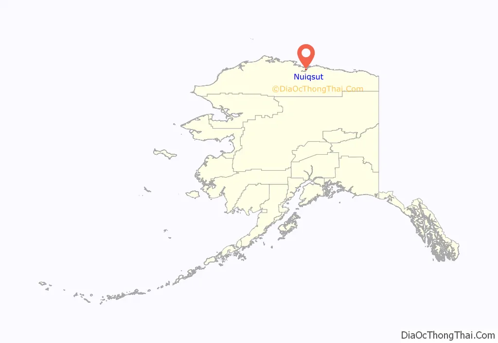
Nuiqsut location map. Where is Nuiqsut city?
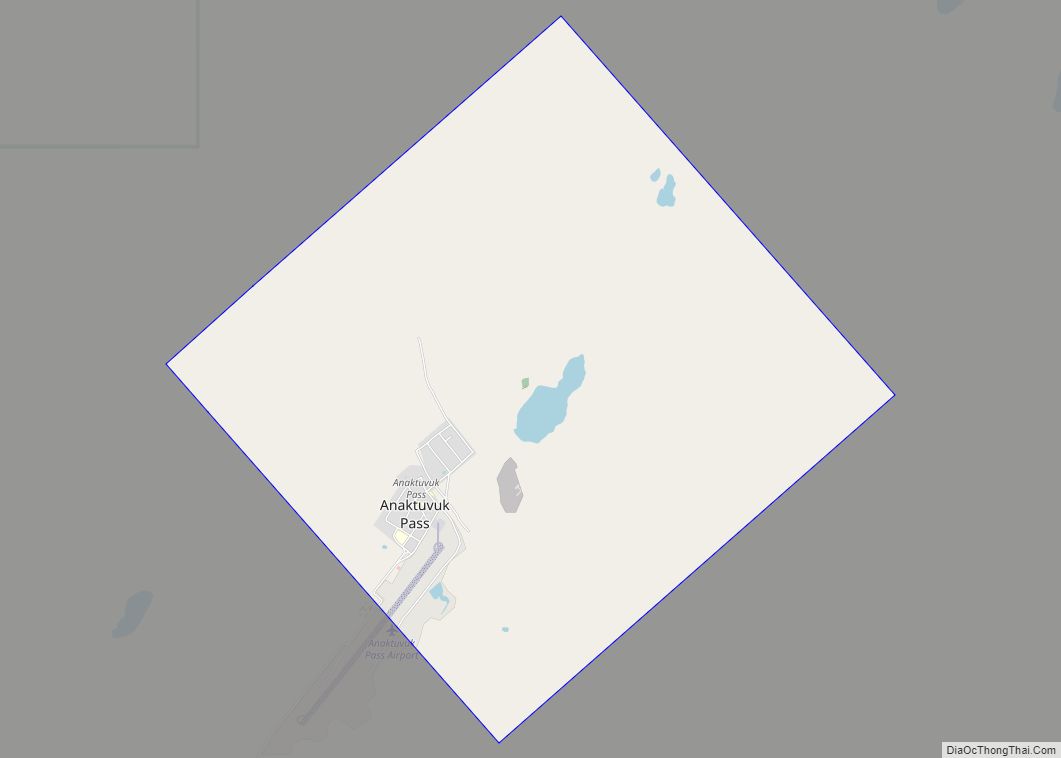
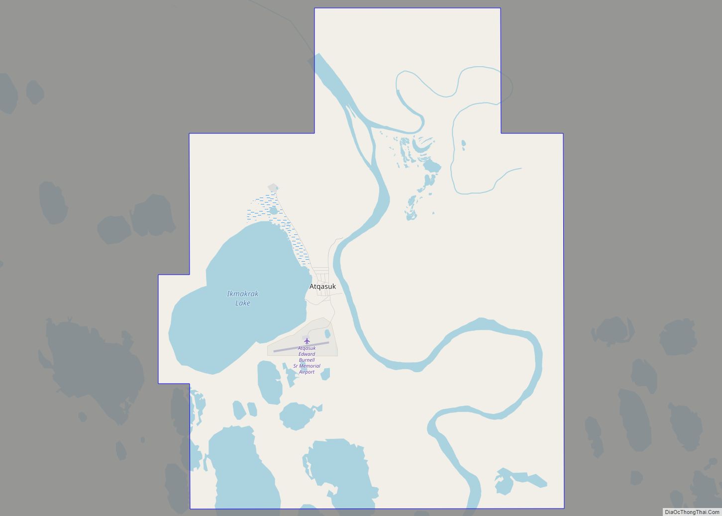
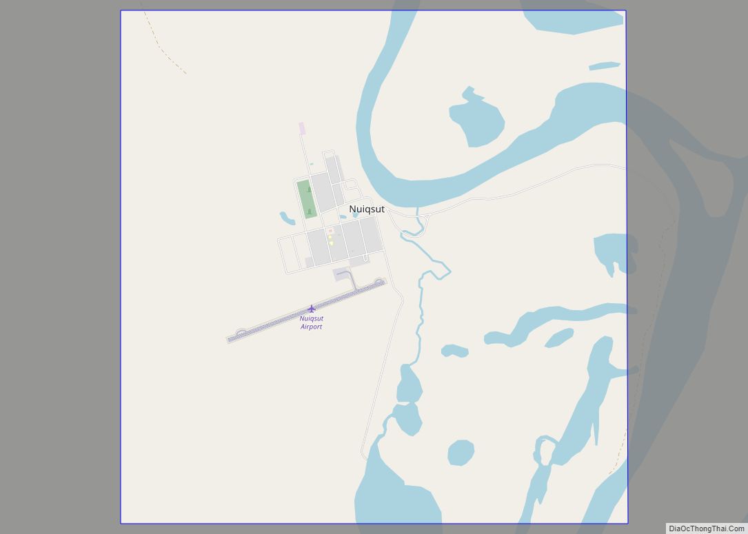
Nuiqsut Road Map
Nuiqsut city Satellite Map
Geography
Nuiqsut is located at 70°12′59″N 151°0′21″W / 70.21639°N 151.00583°W / 70.21639; -151.00583 (70.216338, -151.005725).
Nuiqsut is in the North Slope Borough on the Nechelik Channel, about 35 miles (56 km) from the Beaufort Sea coast. It is located on the Colville River, about 5 miles north of its confluence with the Itkillik River.
According to the United States Census Bureau, the city has a total area of 9.2 square miles (24 km), all of it land. Air travel to the Nuiqsut Airport provides the only year-round access to Nuiqsut. Nuiqsut is accessible during the winter via an ice road. It is about 10 miles South of Alpine, Alaska and about 80 miles West of Prudhoe Bay, Alaska
See also
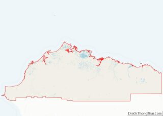
Map of Alaska State and its subdivision:- Aleutians East
- Aleutians West
- Anchorage
- Bethel
- Bristol Bay
- Denali
- Dillingham
- Fairbanks North Star
- Haines
- Juneau
- Kenai Peninsula
- Ketchikan Gateway
- Kodiak Island
- Lake and Peninsula
- Matanuska-Susitna
- Nome
- North Slope
- Northwest Arctic
- Prince of Wales-Outer Ketchi
- Sitka
- Skagway-Yakutat-Angoon
- Southeast Fairbanks
- Valdez-Cordova
- Wade Hampton
- Wrangell-Petersburg
- Yukon-Koyukuk
- Alabama
- Alaska
- Arizona
- Arkansas
- California
- Colorado
- Connecticut
- Delaware
- District of Columbia
- Florida
- Georgia
- Hawaii
- Idaho
- Illinois
- Indiana
- Iowa
- Kansas
- Kentucky
- Louisiana
- Maine
- Maryland
- Massachusetts
- Michigan
- Minnesota
- Mississippi
- Missouri
- Montana
- Nebraska
- Nevada
- New Hampshire
- New Jersey
- New Mexico
- New York
- North Carolina
- North Dakota
- Ohio
- Oklahoma
- Oregon
- Pennsylvania
- Rhode Island
- South Carolina
- South Dakota
- Tennessee
- Texas
- Utah
- Vermont
- Virginia
- Washington
- West Virginia
- Wisconsin
- Wyoming
