Pedro Bay is a census-designated place (CDP) in Lake and Peninsula Borough, Alaska, United States. The population was 43 as of the 2020 census, slightly up from 42 in 2010.
| Name: | Pedro Bay CDP |
|---|---|
| LSAD Code: | 57 |
| LSAD Description: | CDP (suffix) |
| State: | Alaska |
| County: | Lake and Peninsula Borough |
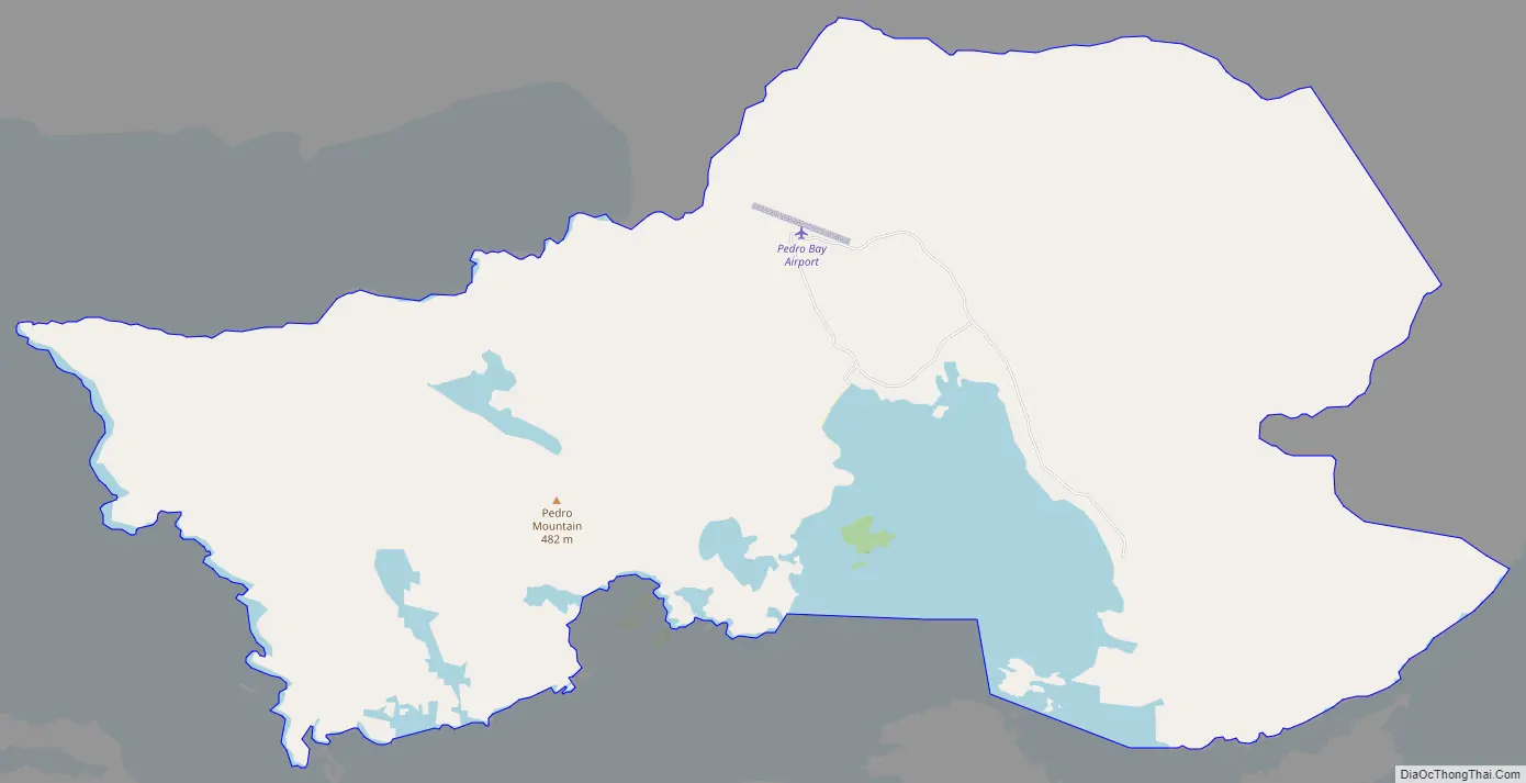
| Total Area: | 23.29 sq mi (60.32 km²) |
| Land Area: | 19.48 sq mi (50.45 km²) |
| Water Area: | 3.81 sq mi (9.87 km²) |
| Total Population: | 43 |
| Population Density: | 2.21/sq mi (0.85/km²) |
| ZIP code: | 99647 |
| Area code: | 907 |
| FIPS code: | 0259540 |
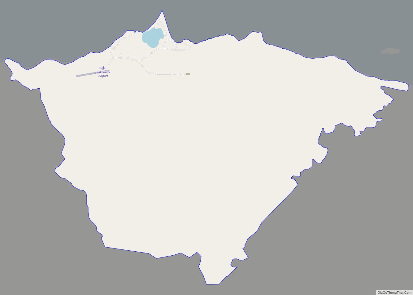
Online Interactive Map
Click on ![]() to view map in "full screen" mode.
to view map in "full screen" mode.
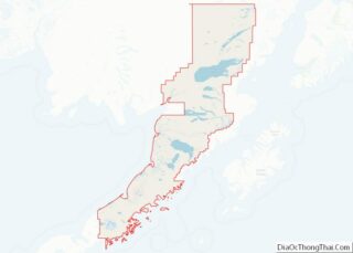
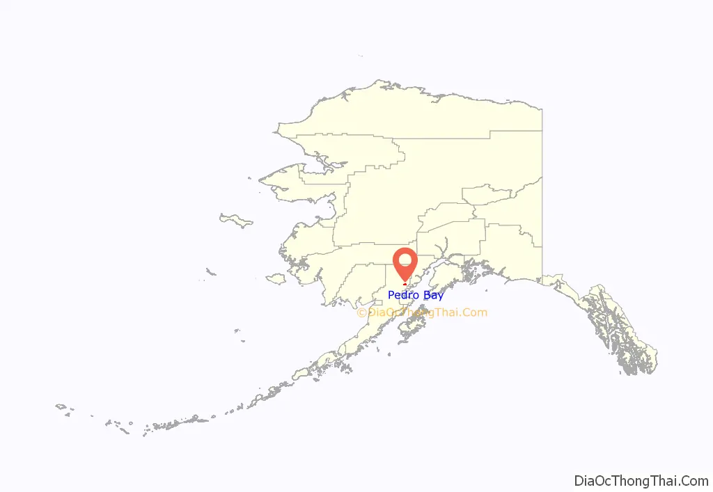
Pedro Bay location map. Where is Pedro Bay CDP?
History
The Dena’ina Athabascan people occupied the area around Pedro Bay historically. They warred with Russian fur traders over trade practices in the early 19th century.
The St. Nicholas Chapel in Pedro Bay is a historic Russian Orthodox church that is listed on the U.S. National Register of Historic Places.
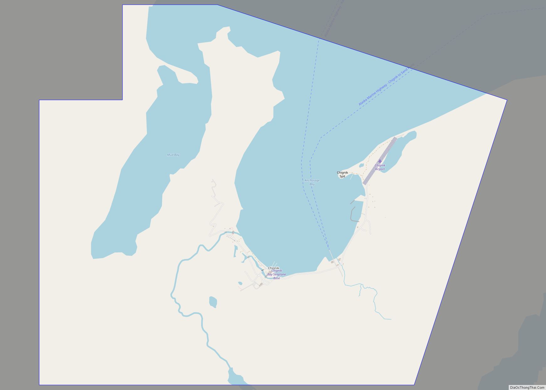
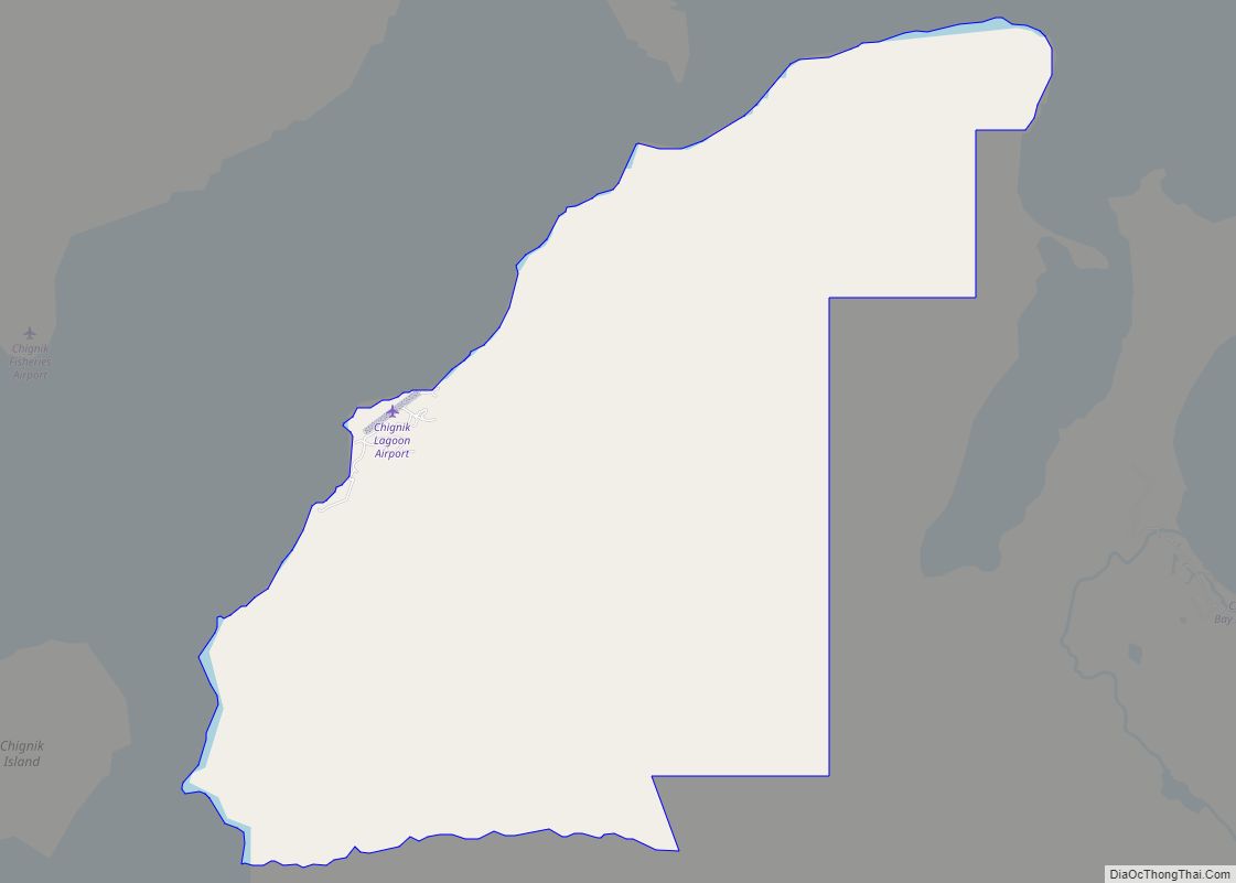
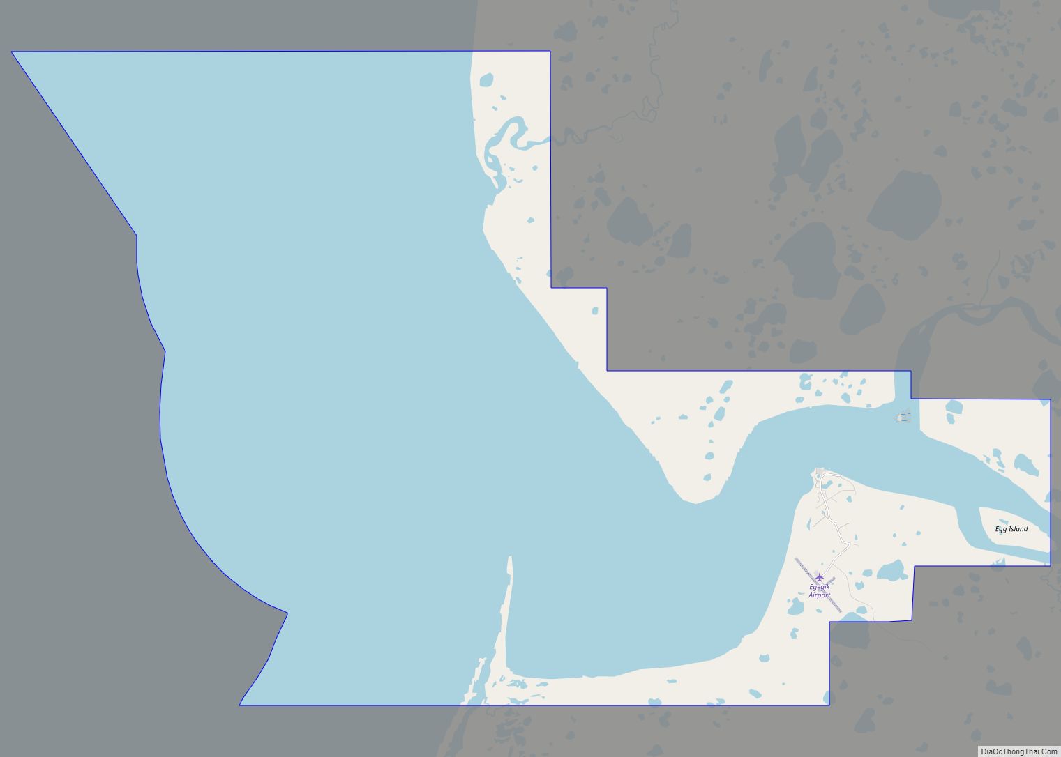
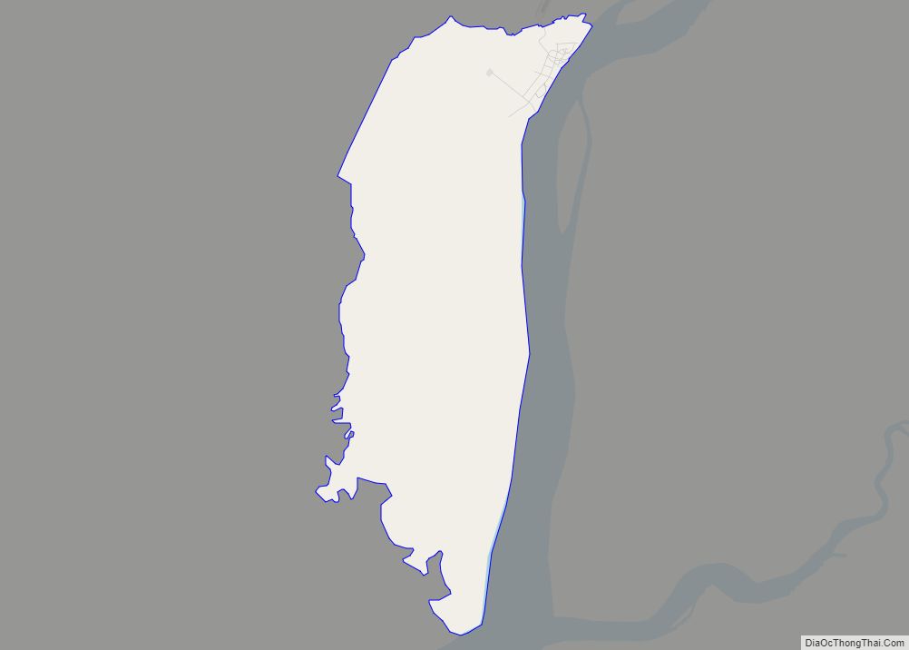
Pedro Bay Road Map
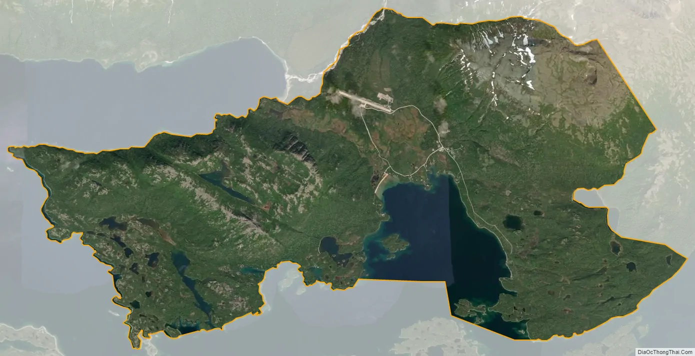
Pedro Bay city Satellite Map
Geography
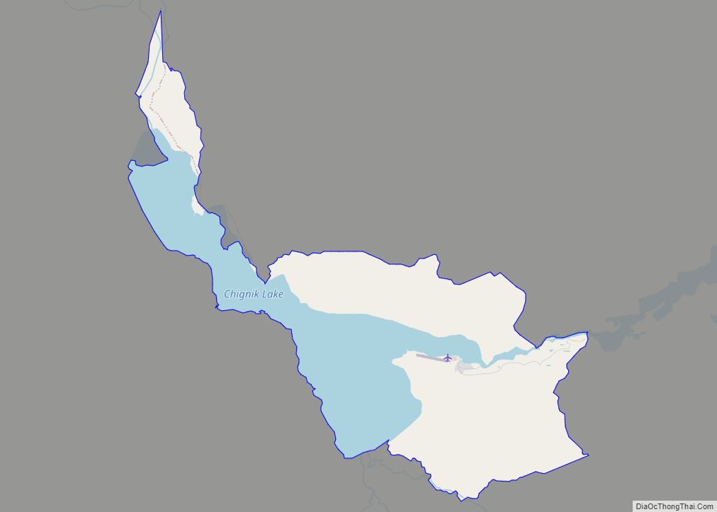
Pedro Bay is located at 59°46′56″N 154°07′57″W / 59.782090°N 154.132596°W / 59.782090; -154.132596. It is at the head of Pedro Bay, on the northeast end of Iliamna Lake. The CDP extends northwest to the south shore of Knutson Bay and east to the north shore of Pile Bay on Iliamna Lake.
According to the United States Census Bureau, the CDP has a total area of 19.3 square miles (50.0 km), of which 17.1 square miles (44.2 km) are land and 2.2 square miles (5.8 km), or 11.67%, are water.
See also
Map of Alaska State and its subdivision:- Aleutians East
- Aleutians West
- Anchorage
- Bethel
- Bristol Bay
- Denali
- Dillingham
- Fairbanks North Star
- Haines
- Juneau
- Kenai Peninsula
- Ketchikan Gateway
- Kodiak Island
- Lake and Peninsula
- Matanuska-Susitna
- Nome
- North Slope
- Northwest Arctic
- Prince of Wales-Outer Ketchi
- Sitka
- Skagway-Yakutat-Angoon
- Southeast Fairbanks
- Valdez-Cordova
- Wade Hampton
- Wrangell-Petersburg
- Yukon-Koyukuk
- Alabama
- Alaska
- Arizona
- Arkansas
- California
- Colorado
- Connecticut
- Delaware
- District of Columbia
- Florida
- Georgia
- Hawaii
- Idaho
- Illinois
- Indiana
- Iowa
- Kansas
- Kentucky
- Louisiana
- Maine
- Maryland
- Massachusetts
- Michigan
- Minnesota
- Mississippi
- Missouri
- Montana
- Nebraska
- Nevada
- New Hampshire
- New Jersey
- New Mexico
- New York
- North Carolina
- North Dakota
- Ohio
- Oklahoma
- Oregon
- Pennsylvania
- Rhode Island
- South Carolina
- South Dakota
- Tennessee
- Texas
- Utah
- Vermont
- Virginia
- Washington
- West Virginia
- Wisconsin
- Wyoming