Point Lay (Kali in Inupiaq- “Mound”) is a census-designated place (CDP) in North Slope Borough, Alaska, United States. At the 2020 census the population was 330, up from 189 in 2010.
| Name: | Point Lay CDP |
|---|---|
| LSAD Code: | 57 |
| LSAD Description: | CDP (suffix) |
| State: | Alaska |
| County: | North Slope Borough |
| Total Area: | 32.29 sq mi (83.63 km²) |
| Land Area: | 28.51 sq mi (73.85 km²) |
| Water Area: | 3.78 sq mi (9.78 km²) |
| Total Population: | 330 |
| Population Density: | 11.57/sq mi (4.47/km²) |
| ZIP code: | 99759 |
| Area code: | 907 |
| FIPS code: | 0261700 |
Online Interactive Map
Click on ![]() to view map in "full screen" mode.
to view map in "full screen" mode.
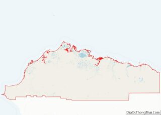
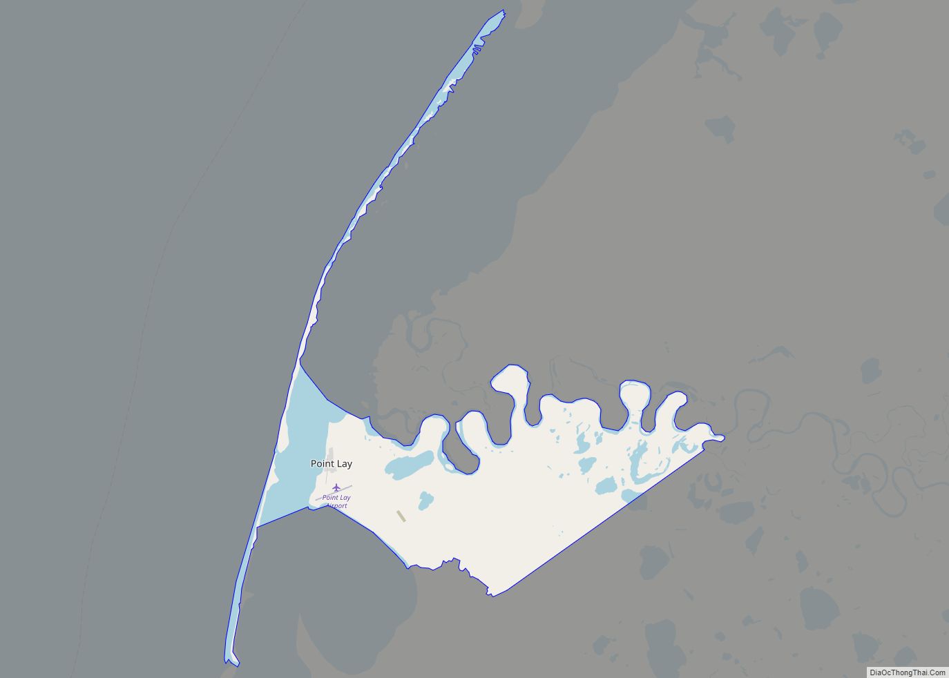
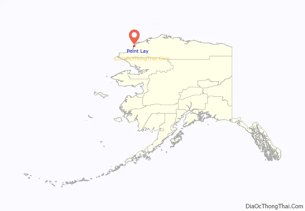
Point Lay location map. Where is Point Lay CDP?
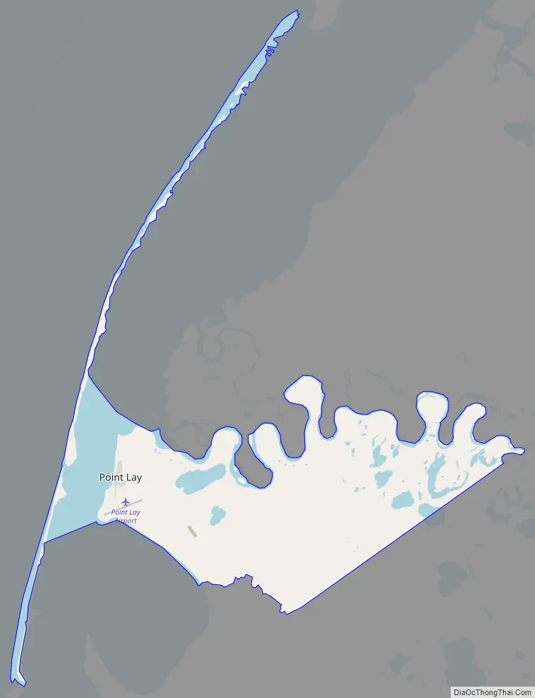
Point Lay Road Map
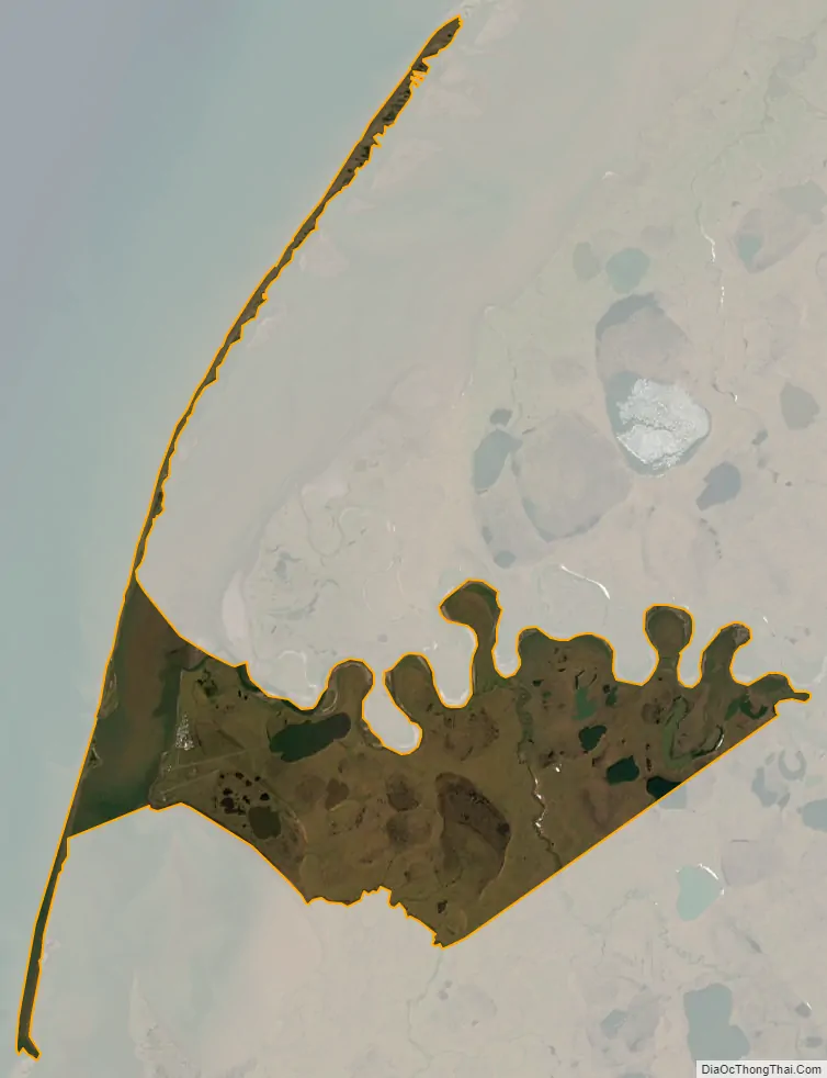
Point Lay city Satellite Map
Geography
Point Lay is located at 69°44′28″N 163°0′31″W / 69.74111°N 163.00861°W / 69.74111; -163.00861 (69.741023, -163.008613) on the shores of the Chukchi Sea.
According to the United States Census Bureau, the CDP has a total area of 34.5 square miles (89 km), of which, 30.5 square miles (79 km) of it is land and 4.0 square miles (10 km) of it (11.66%) is water.
Point Lay once was on a barrier island of Kasegaluk Lagoon, but moved to the mainland near the mouth of the Kokolik River during the 1970s. A weather station was operated from October 1949 to March 1958.
Apart from its landmass that is in mainland Alaska, it also consists two peninsulas that are found on its most northwestern side.
Point Lay has a tundra climate (Koppen ET) with long, very cold winters and short, cool to mild summers.
See also
Map of Alaska State and its subdivision:- Aleutians East
- Aleutians West
- Anchorage
- Bethel
- Bristol Bay
- Denali
- Dillingham
- Fairbanks North Star
- Haines
- Juneau
- Kenai Peninsula
- Ketchikan Gateway
- Kodiak Island
- Lake and Peninsula
- Matanuska-Susitna
- Nome
- North Slope
- Northwest Arctic
- Prince of Wales-Outer Ketchi
- Sitka
- Skagway-Yakutat-Angoon
- Southeast Fairbanks
- Valdez-Cordova
- Wade Hampton
- Wrangell-Petersburg
- Yukon-Koyukuk
- Alabama
- Alaska
- Arizona
- Arkansas
- California
- Colorado
- Connecticut
- Delaware
- District of Columbia
- Florida
- Georgia
- Hawaii
- Idaho
- Illinois
- Indiana
- Iowa
- Kansas
- Kentucky
- Louisiana
- Maine
- Maryland
- Massachusetts
- Michigan
- Minnesota
- Mississippi
- Missouri
- Montana
- Nebraska
- Nevada
- New Hampshire
- New Jersey
- New Mexico
- New York
- North Carolina
- North Dakota
- Ohio
- Oklahoma
- Oregon
- Pennsylvania
- Rhode Island
- South Carolina
- South Dakota
- Tennessee
- Texas
- Utah
- Vermont
- Virginia
- Washington
- West Virginia
- Wisconsin
- Wyoming