Rampart (Dleł Taaneets [t͡ɬəɬ tʰæːniːt͡sʰ] in Koyukon) is a census-designated place (CDP) in Yukon-Koyukuk Census Area, Alaska, United States. The population was 24 at the 2010 census, down from 45 in 2000.
| Name: | Rampart CDP |
|---|---|
| LSAD Code: | 57 |
| LSAD Description: | CDP (suffix) |
| State: | Alaska |
| County: | Yukon-Koyukuk Census Area |
| Total Area: | 169.90 sq mi (440.04 km²) |
| Land Area: | 169.83 sq mi (439.85 km²) |
| Water Area: | 0.08 sq mi (0.20 km²) |
| Total Population: | 57 |
| Population Density: | 0.34/sq mi (0.13/km²) |
| ZIP code: | 99767 |
| Area code: | 907 |
| FIPS code: | 0264820 |
Online Interactive Map
Click on ![]() to view map in "full screen" mode.
to view map in "full screen" mode.
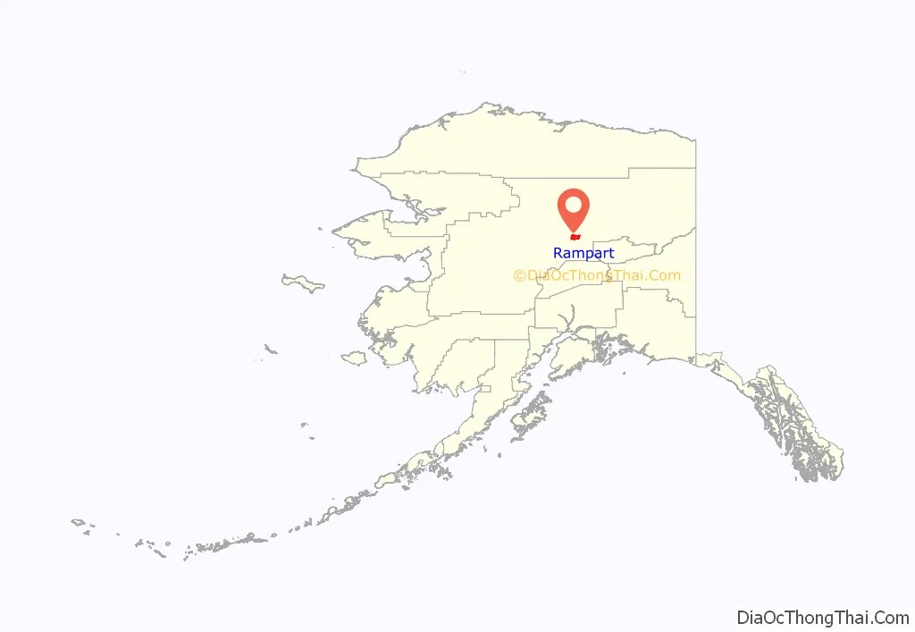
Rampart location map. Where is Rampart CDP?
History
Novelist Rex Beach (1877-1949) moved to Rampart in 1900, during the Klondike Gold Rush (1896-1899); although his prospecting efforts were of little success, the experience led to the publication of The Spoilers, one of three novels written by Beach that made it to Publishers Weekly list of bestselling novels in the United States in the 1900s. Film adaptations of The Spoilers were released in 1914, 1923, 1930, 1942, and 1955.
In the 1950s, a large hydroelectric project called the Rampart Dam was considered for the Yukon River near the village. Had the project been completed, it would have created the largest man-made reservoir in the world. Owing to popular protest, however, the project was never begun.
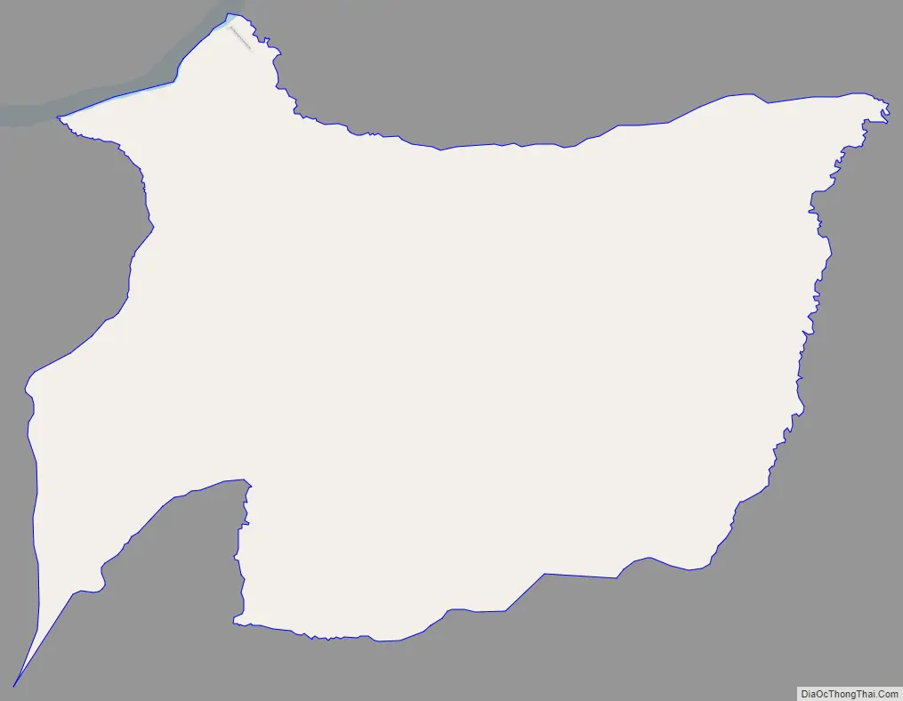
Rampart Road Map
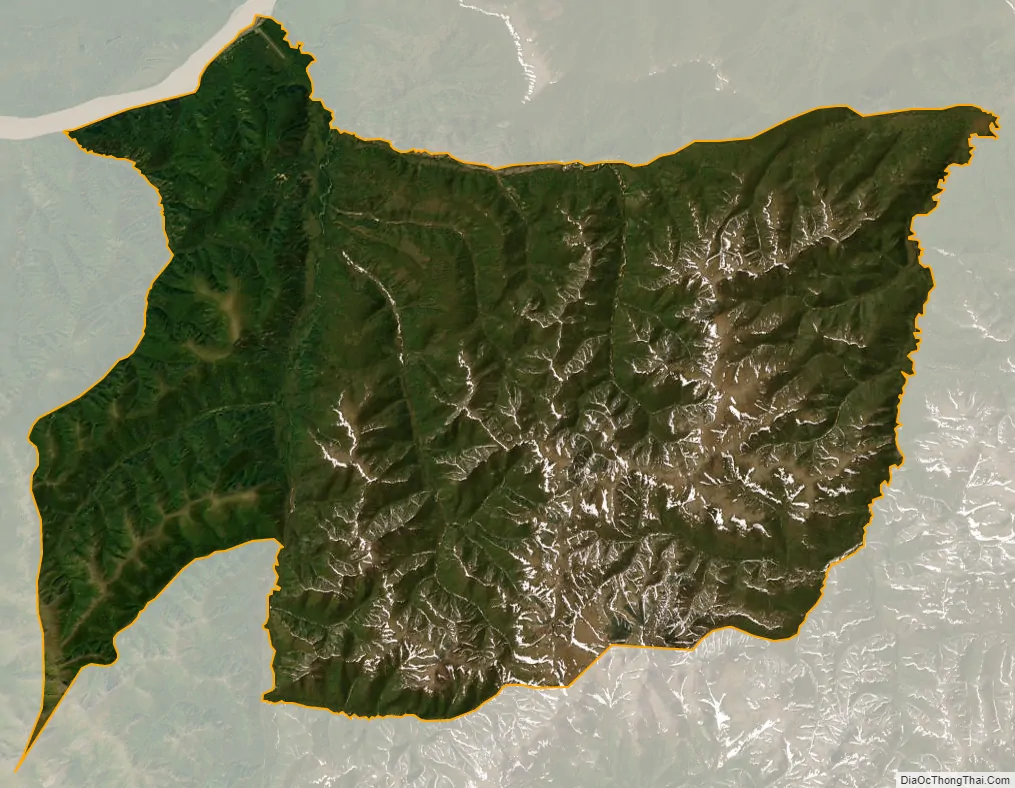
Rampart city Satellite Map
Geography
Rampart is located at 65°30′26″N 150°8′55″W / 65.50722°N 150.14861°W / 65.50722; -150.14861 (65.507350, -150.148496). According to the United States Census Bureau, the CDP has a total area of 168.8 square miles (437 km), all of it land. Minook Creek is just east of Rampart. Baker Creek is to the south.
See also
Map of Alaska State and its subdivision:- Aleutians East
- Aleutians West
- Anchorage
- Bethel
- Bristol Bay
- Denali
- Dillingham
- Fairbanks North Star
- Haines
- Juneau
- Kenai Peninsula
- Ketchikan Gateway
- Kodiak Island
- Lake and Peninsula
- Matanuska-Susitna
- Nome
- North Slope
- Northwest Arctic
- Prince of Wales-Outer Ketchi
- Sitka
- Skagway-Yakutat-Angoon
- Southeast Fairbanks
- Valdez-Cordova
- Wade Hampton
- Wrangell-Petersburg
- Yukon-Koyukuk
- Alabama
- Alaska
- Arizona
- Arkansas
- California
- Colorado
- Connecticut
- Delaware
- District of Columbia
- Florida
- Georgia
- Hawaii
- Idaho
- Illinois
- Indiana
- Iowa
- Kansas
- Kentucky
- Louisiana
- Maine
- Maryland
- Massachusetts
- Michigan
- Minnesota
- Mississippi
- Missouri
- Montana
- Nebraska
- Nevada
- New Hampshire
- New Jersey
- New Mexico
- New York
- North Carolina
- North Dakota
- Ohio
- Oklahoma
- Oregon
- Pennsylvania
- Rhode Island
- South Carolina
- South Dakota
- Tennessee
- Texas
- Utah
- Vermont
- Virginia
- Washington
- West Virginia
- Wisconsin
- Wyoming


